Elevation of Shiquanhezhen, Gar, Ngari, Tibet, China
Location: China > Tibet > Ngari >
Longitude: 80.101607
Latitude: 32.493989
Elevation: 4283m / 14052feet
Barometric Pressure: 59KPa
Elevation Map:
Satellite Map:
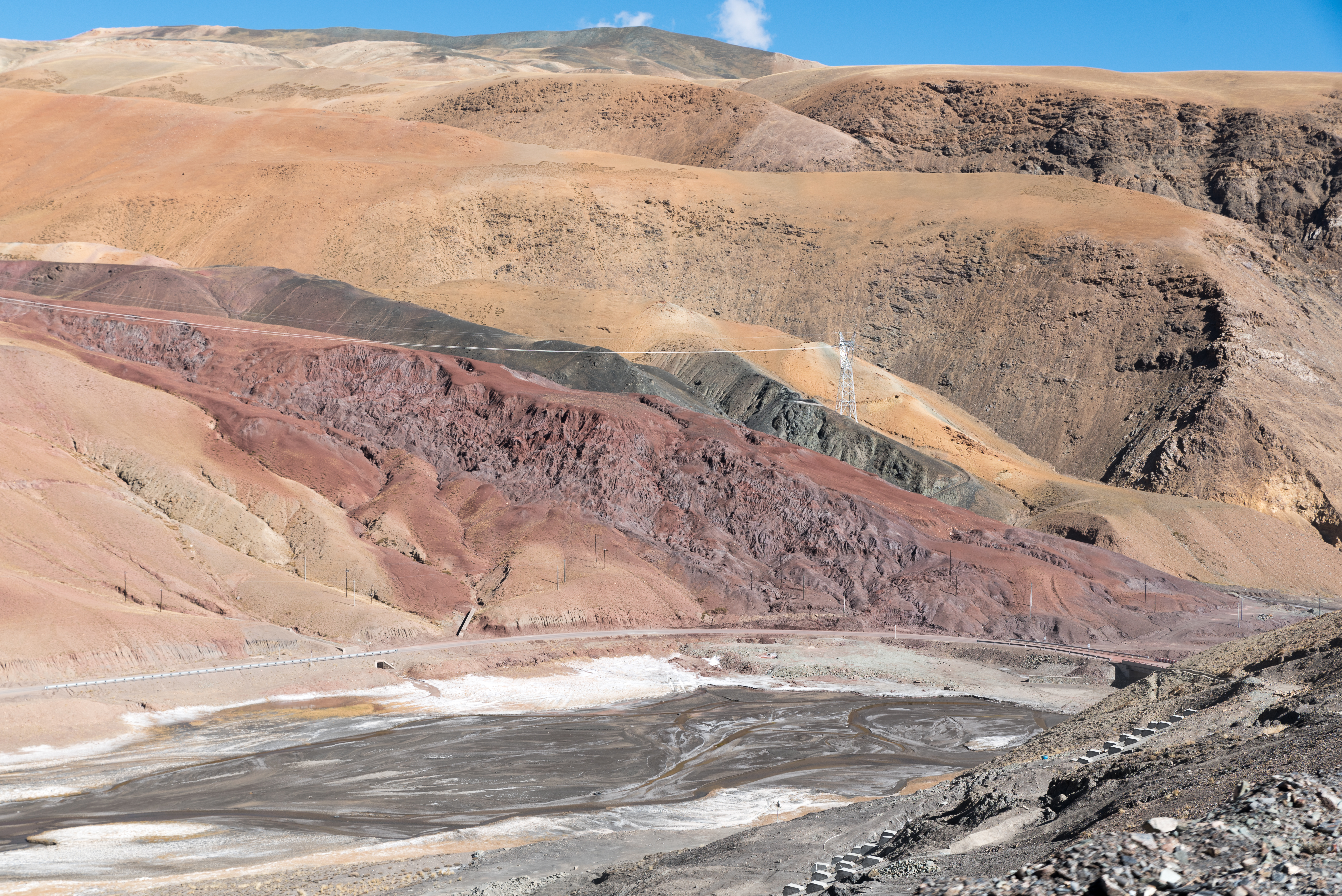
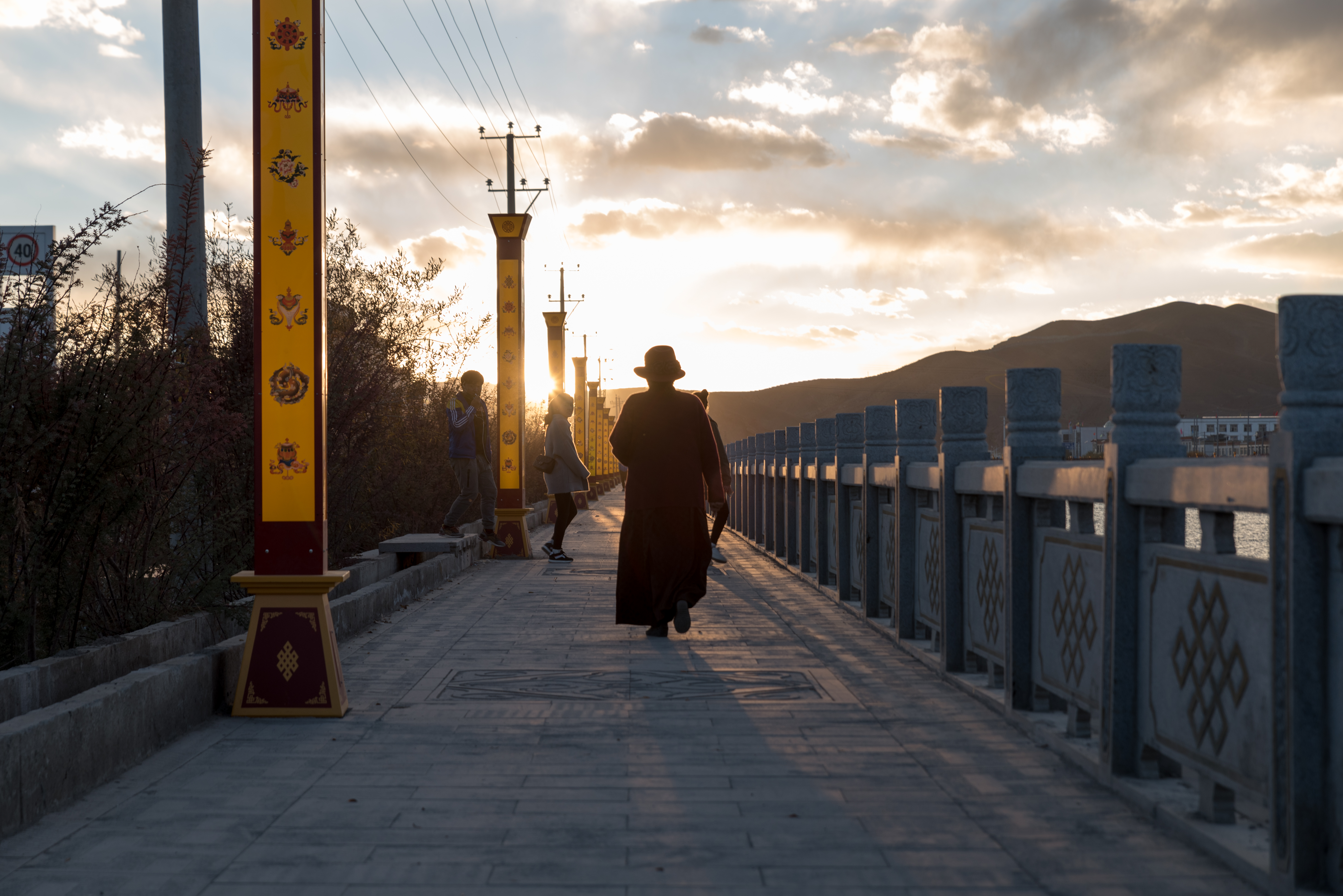
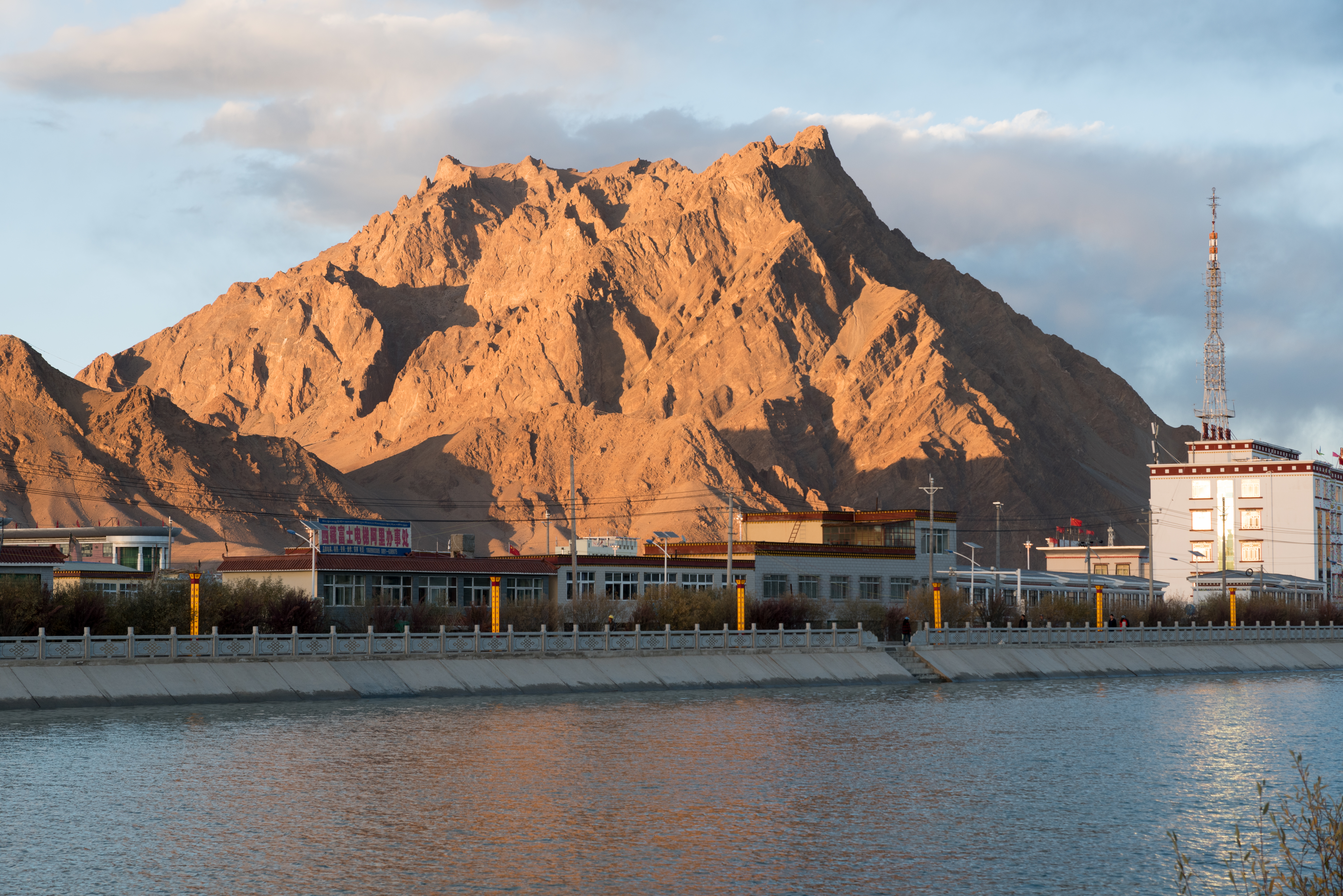
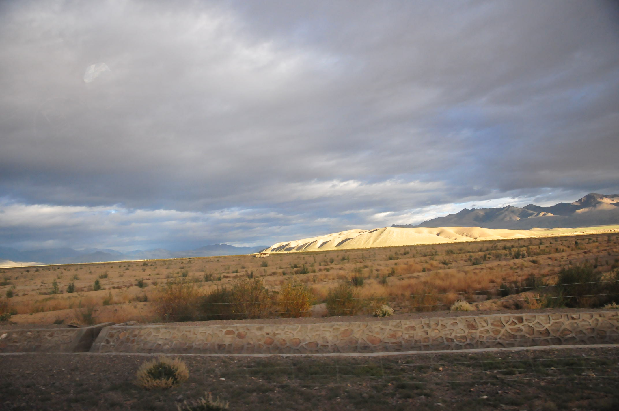
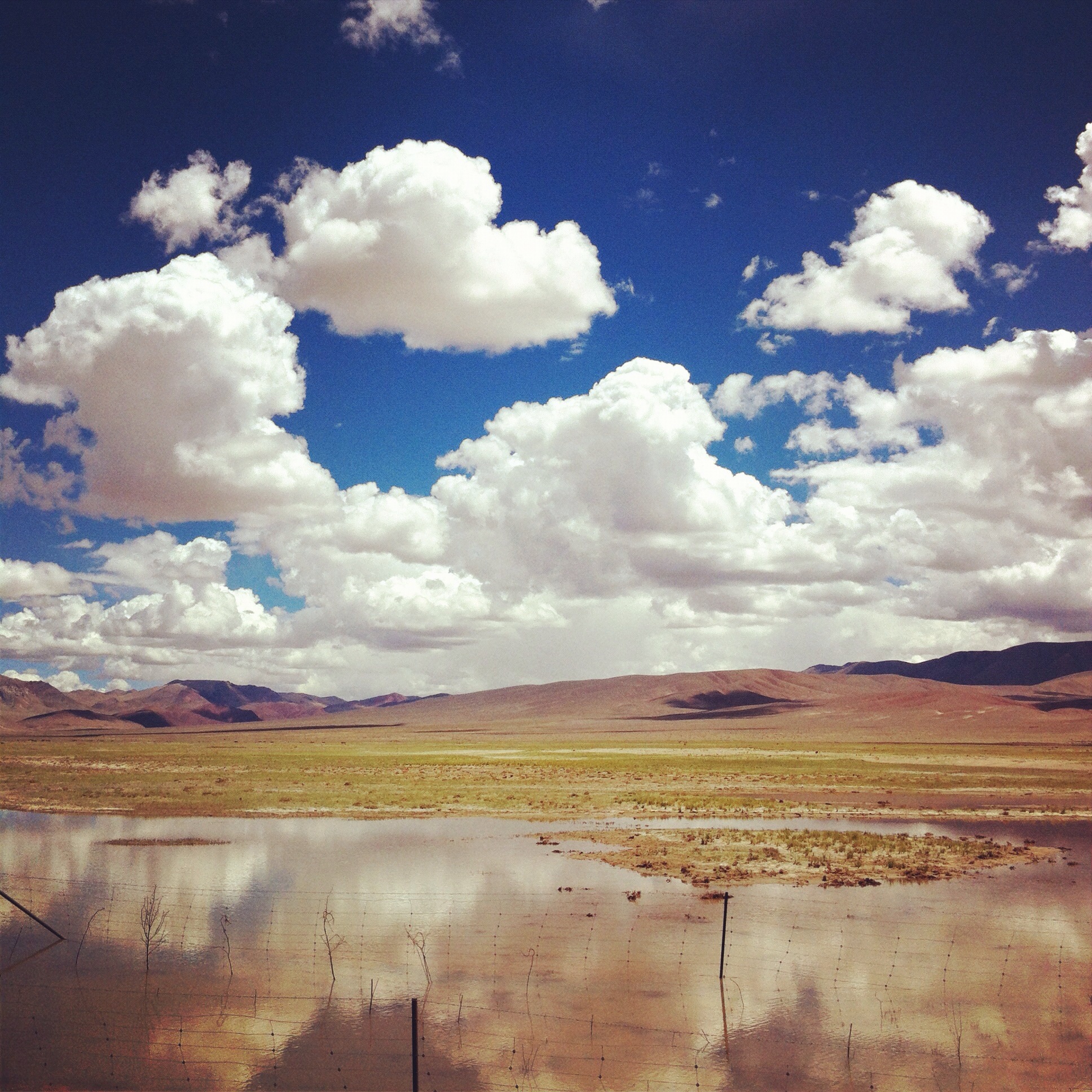
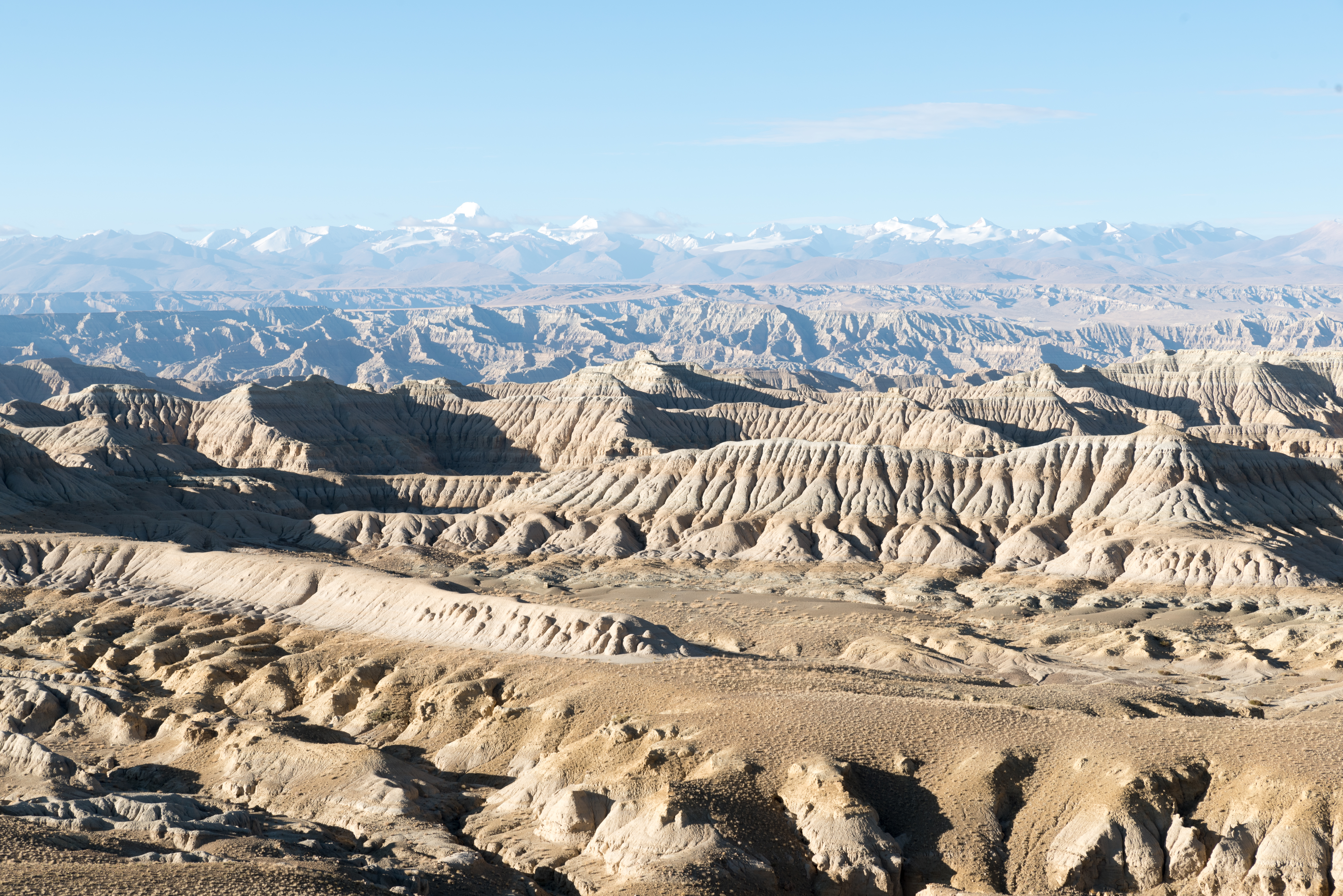
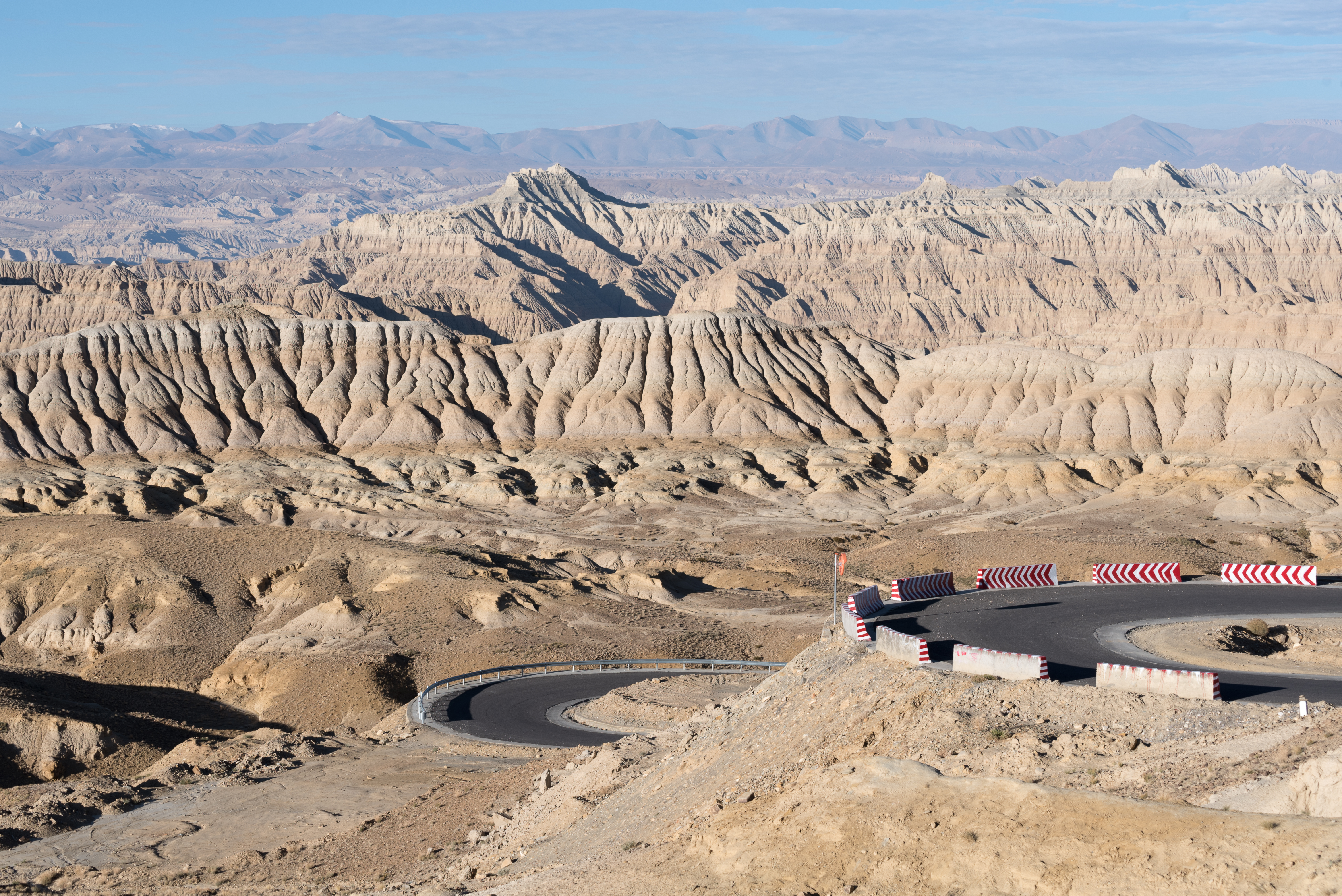
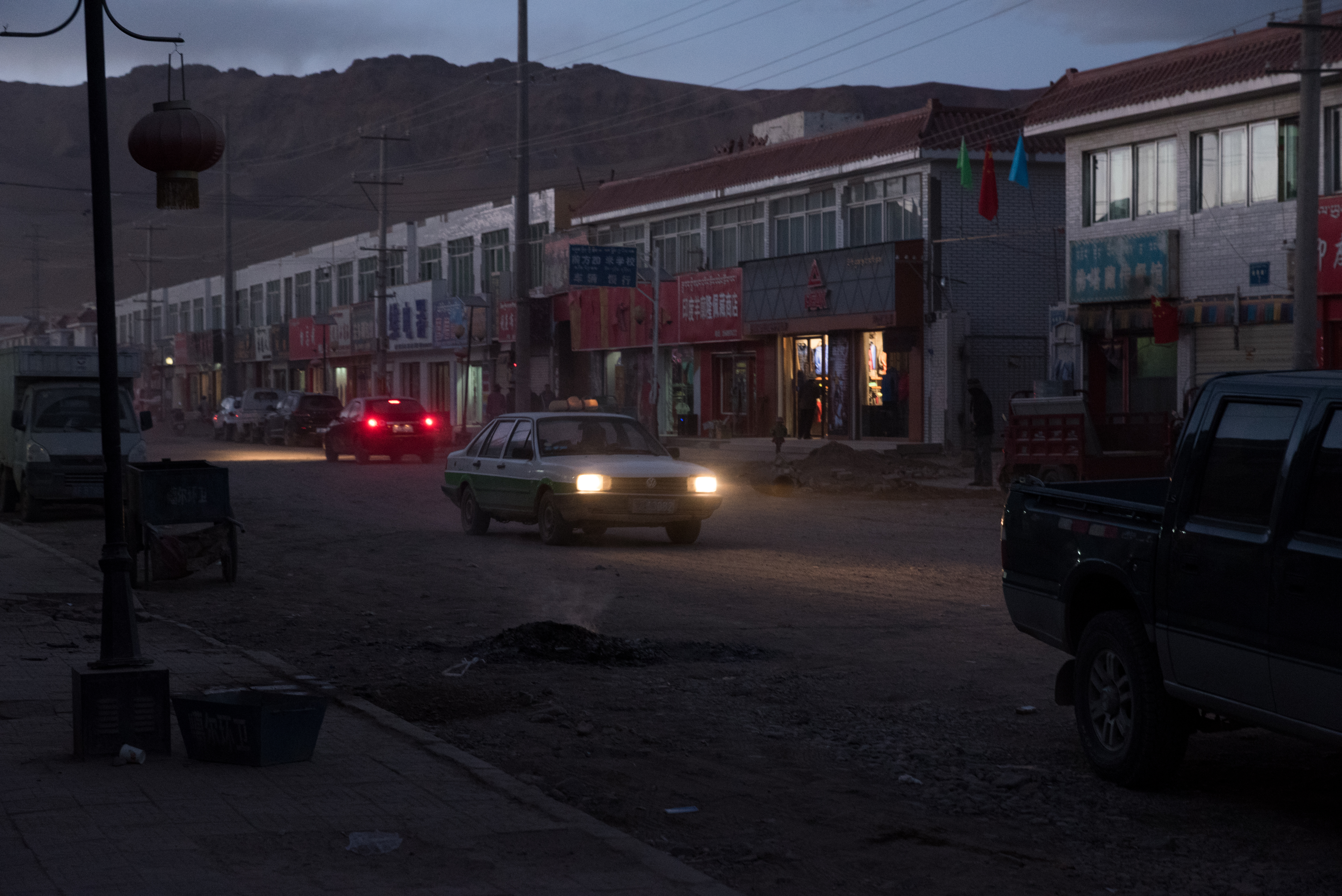
Related Photos:

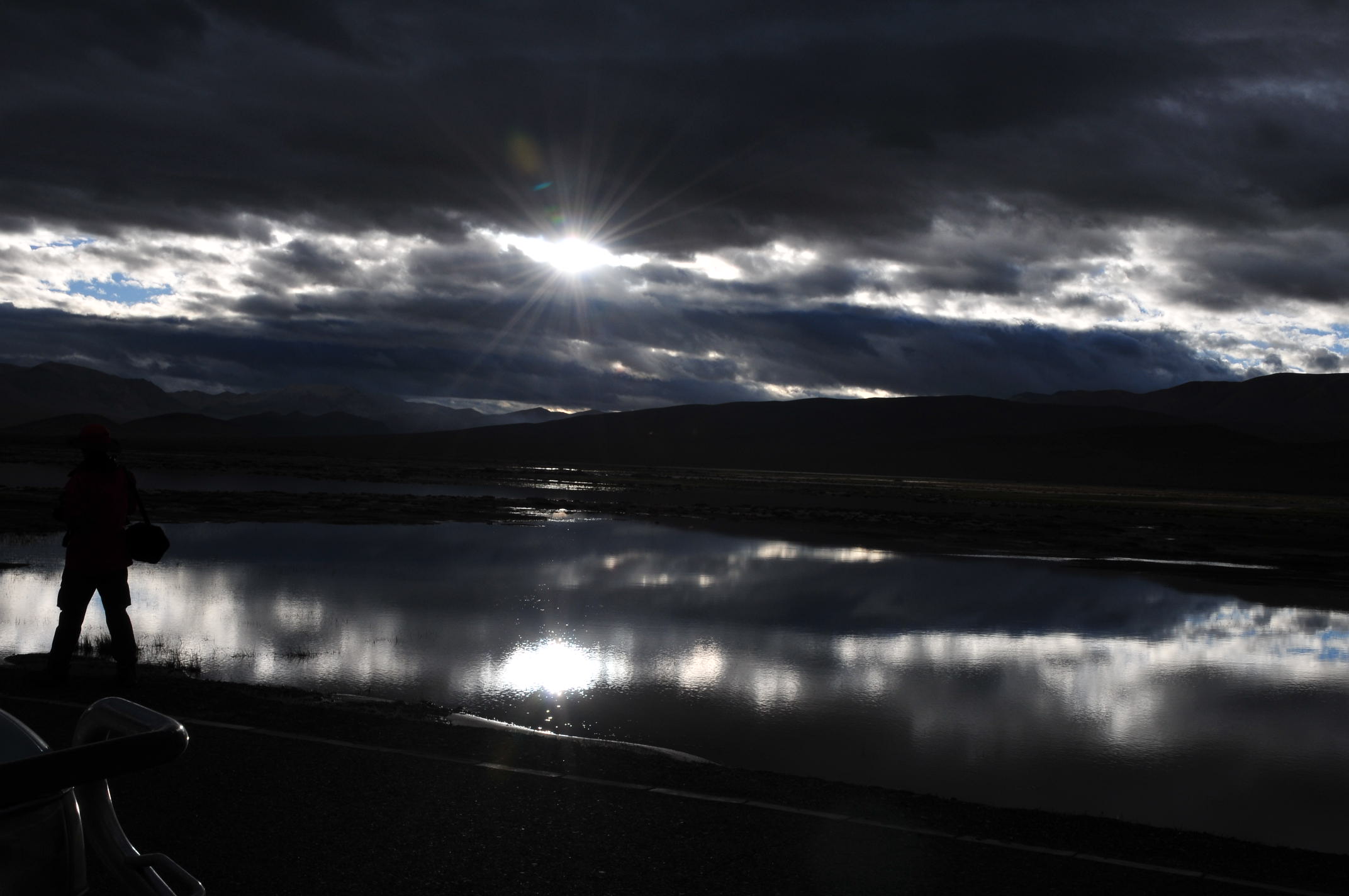
100_2133
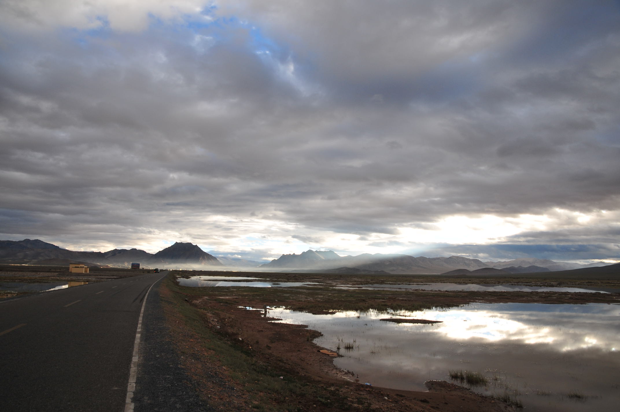
SEB_1780

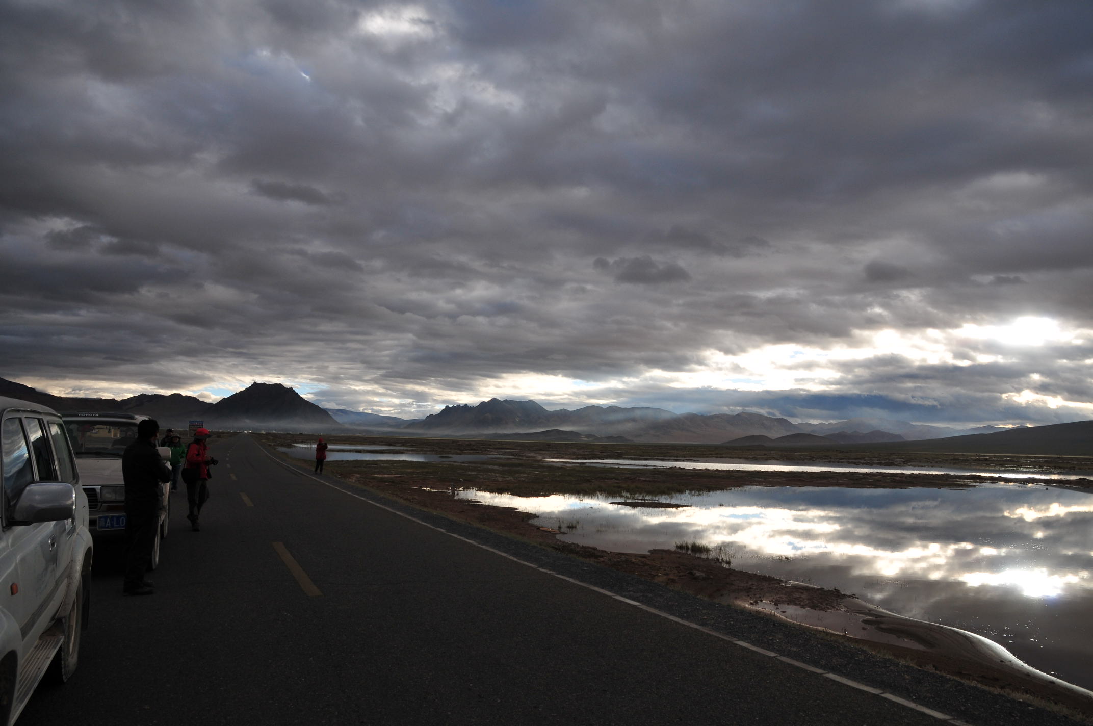
SEB_1809
SEB_1811
SEB_1816

SEB_1823

100_2137
100_2138
100_2143
100_2141
100_2145
100_2136


SEB_1750
SEB_1751
SEB_1828
Topographic Map of Shiquanhezhen, Gar, Ngari, Tibet, China
Find elevation by address:

Places near Shiquanhezhen, Gar, Ngari, Tibet, China:
Recent Searches:
- Elevation of Corso Fratelli Cairoli, 35, Macerata MC, Italy
- Elevation of Tallevast Rd, Sarasota, FL, USA
- Elevation of 4th St E, Sonoma, CA, USA
- Elevation of Black Hollow Rd, Pennsdale, PA, USA
- Elevation of Oakland Ave, Williamsport, PA, USA
- Elevation of Pedrógão Grande, Portugal
- Elevation of Klee Dr, Martinsburg, WV, USA
- Elevation of Via Roma, Pieranica CR, Italy
- Elevation of Tavkvetili Mountain, Georgia
- Elevation of Hartfords Bluff Cir, Mt Pleasant, SC, USA