Elevation of Shin Creek Road, Shin Creek Rd, New York, USA
Location: United States > New York > Sullivan County > Rockland > Livingston Manor >
Longitude: -74.748601
Latitude: 42.0020351
Elevation: 593m / 1946feet
Barometric Pressure: 94KPa
Elevation Map:
Satellite Map:
Related Photos:

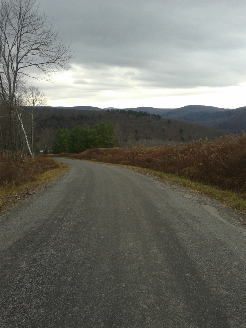
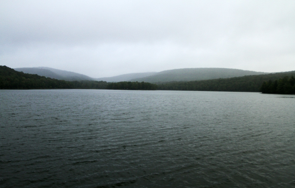
Calm After The Storm

#fujifilmx100f #fujixseries #fujix100f #fujixclub #fujifilmx_us #x100f #catskills #catskillmountains
Andes View from Ridge Overlooking Pepacton
Shavertown Trail
HV-1412.jpg
Balsam Lake Mountain
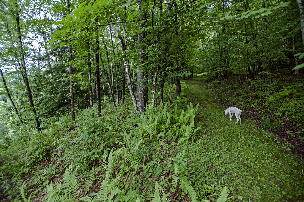
Hope Hunting for Bear
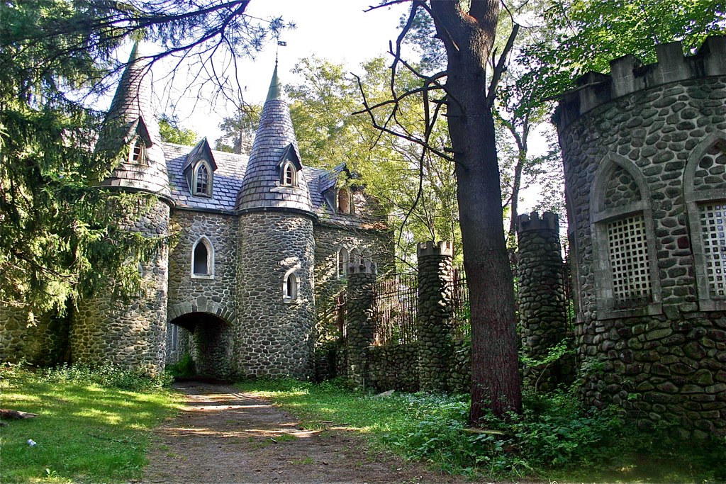
Dundas Castle
View from Mary Smith Trail

Vacation Lazy

Sullivan Diner Entrance
View from Graham
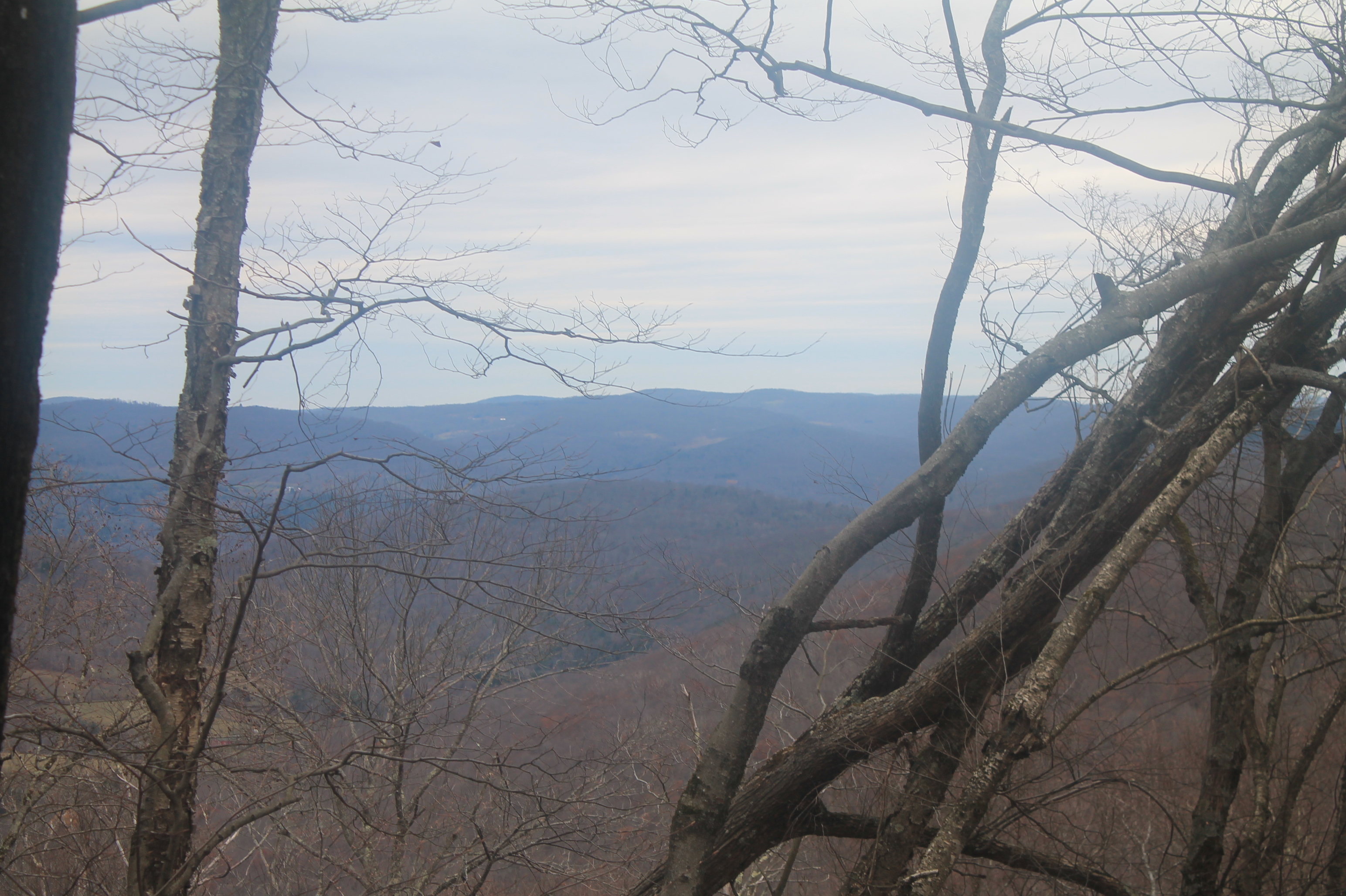
View Off Morton Hill
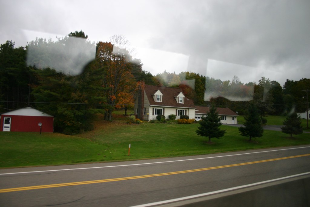
Country View, state of NY

up the down staircase
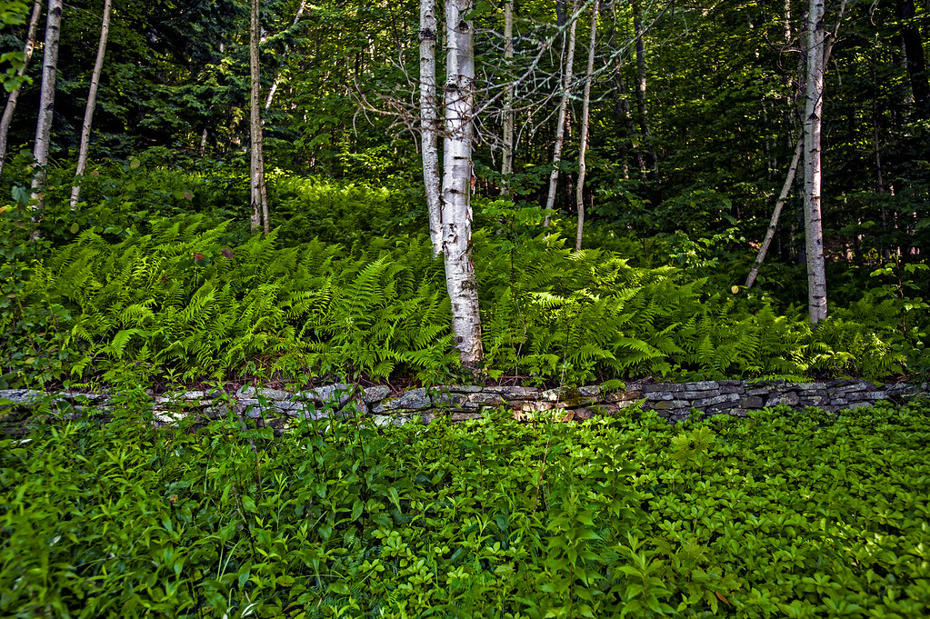
Stone wall
Country View, state of NY
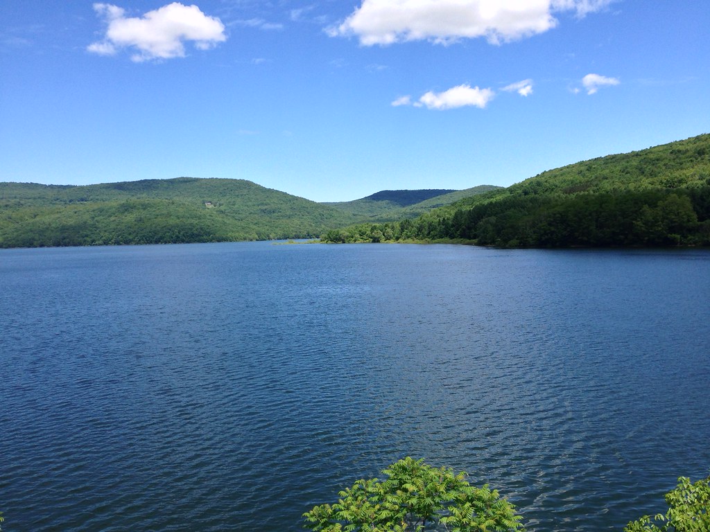
Mongaup Pond
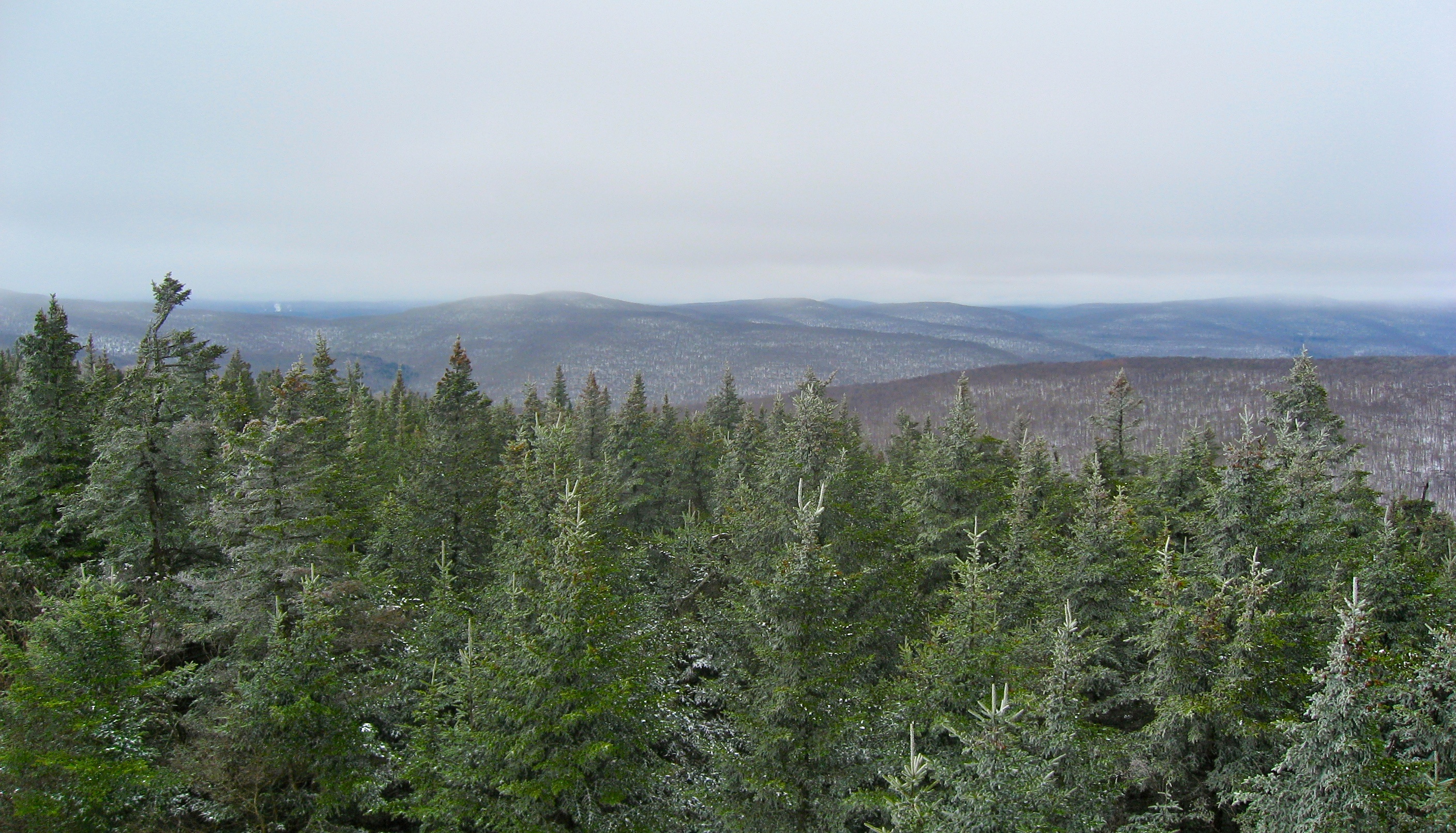
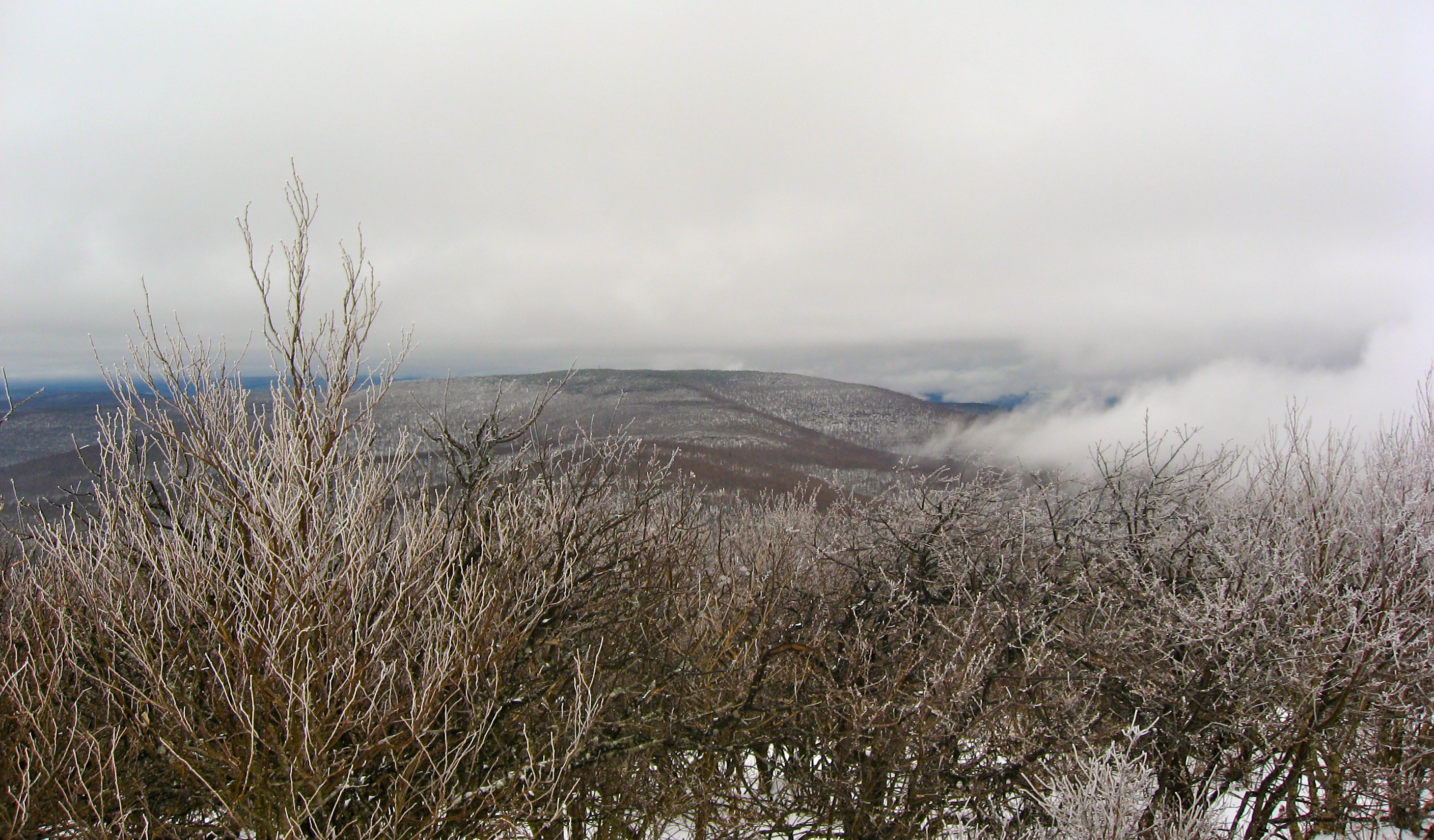
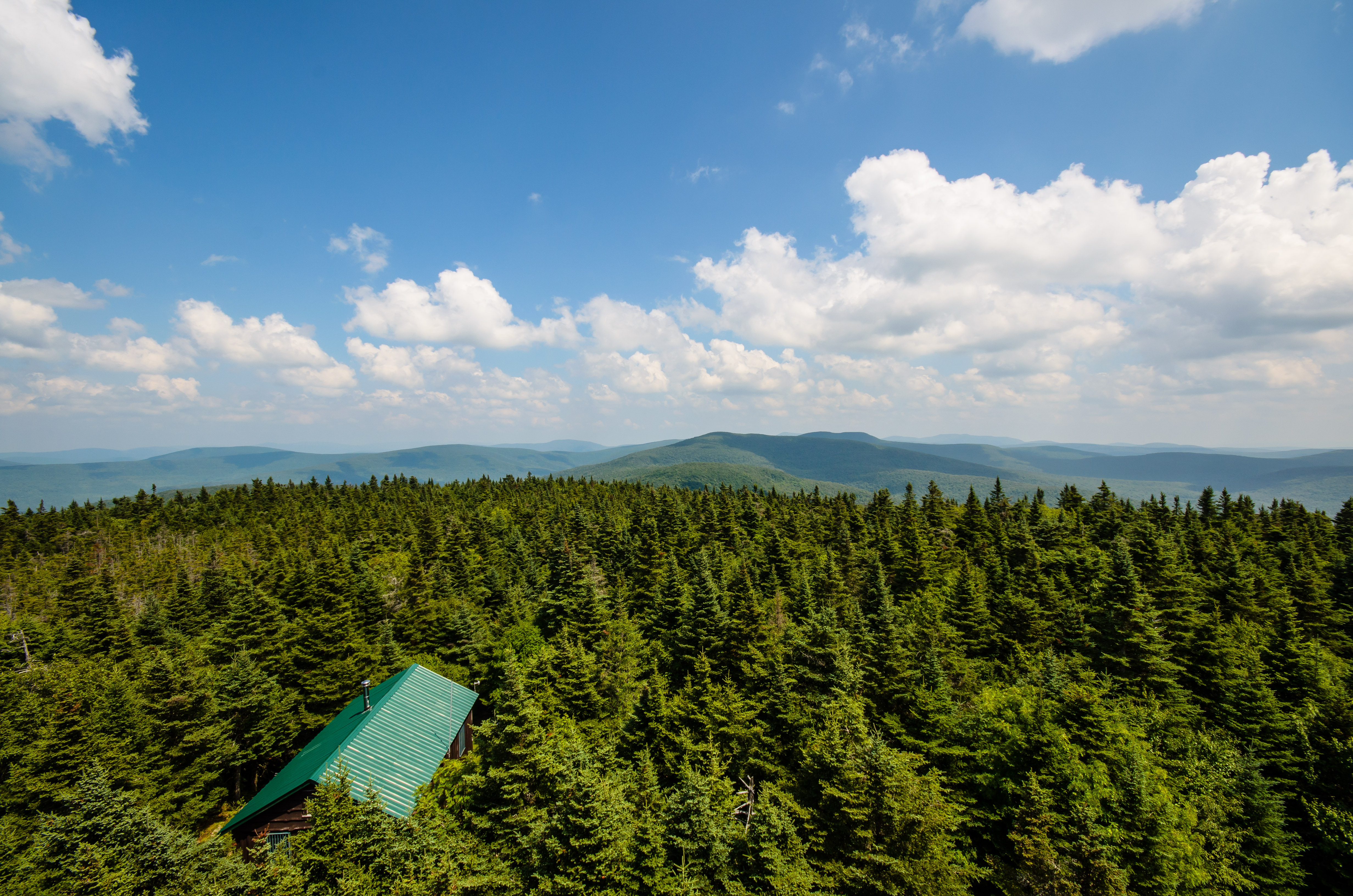
Fire Tower View
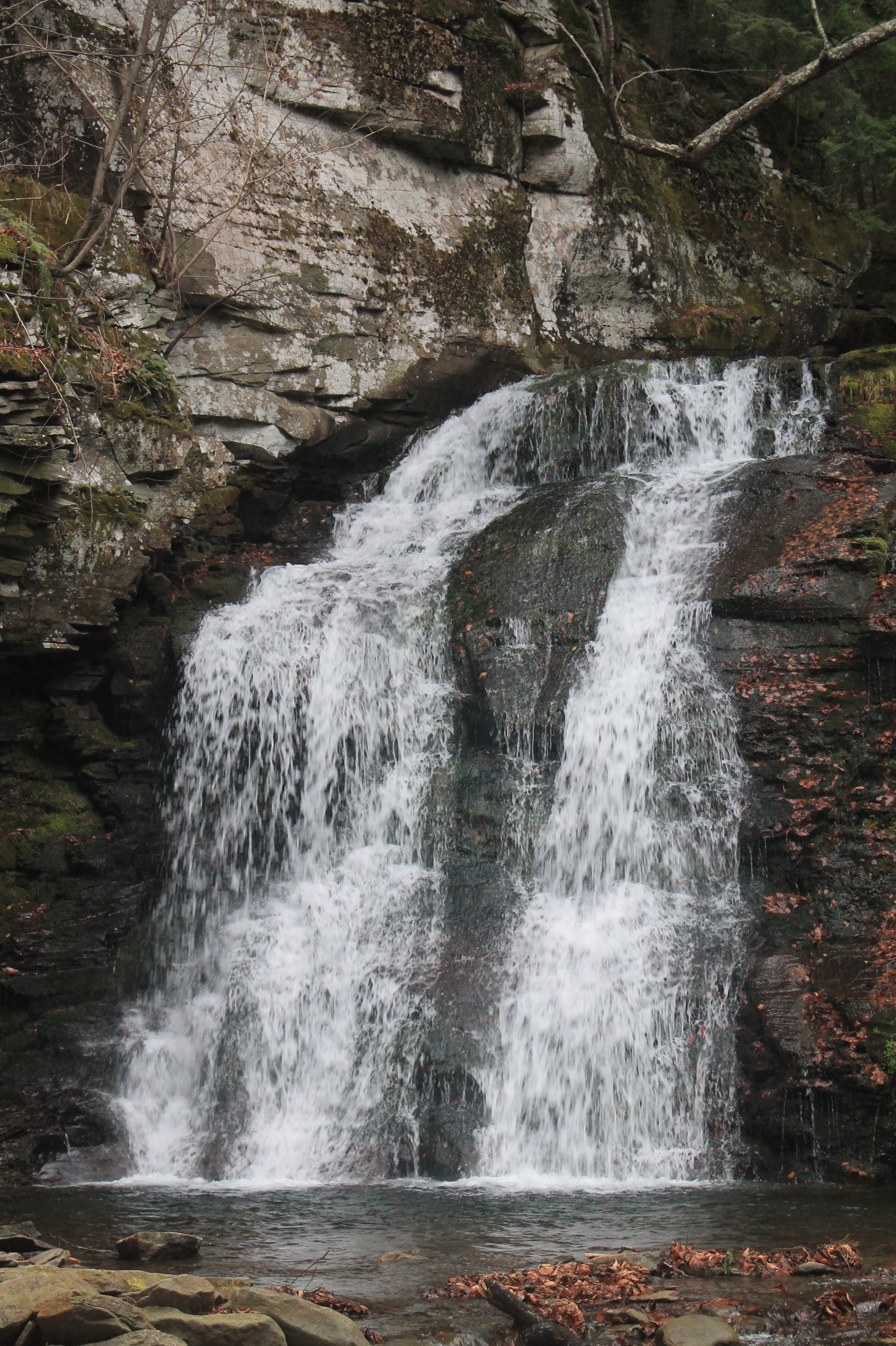
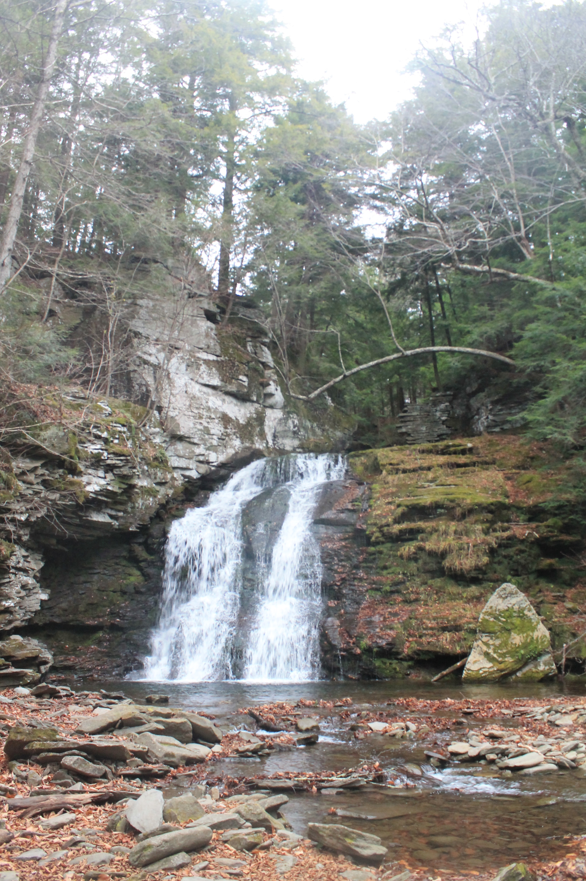
Russell Brook Falls 2
Thompkins Falls, Andes, NY
Russell Brook Falls - Lower Falls
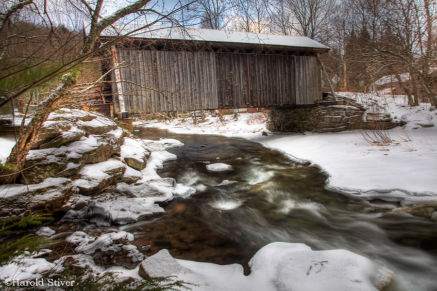
Willowemoc Covered Bridge, New York

Sunset after rain

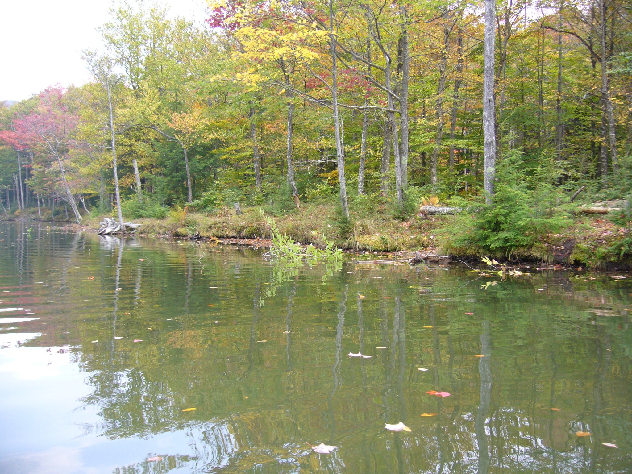
Peak colors on Andes, NY
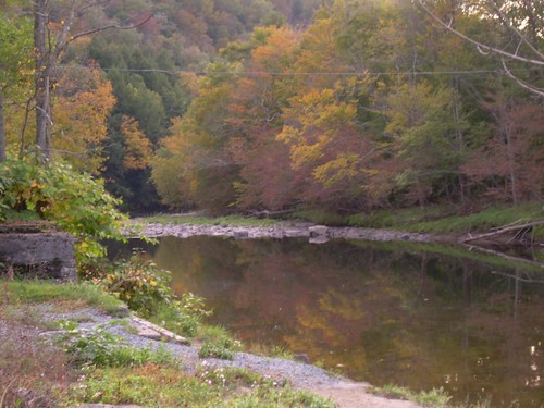
Fall Catskills, NY
2014-06-21 11.53.59
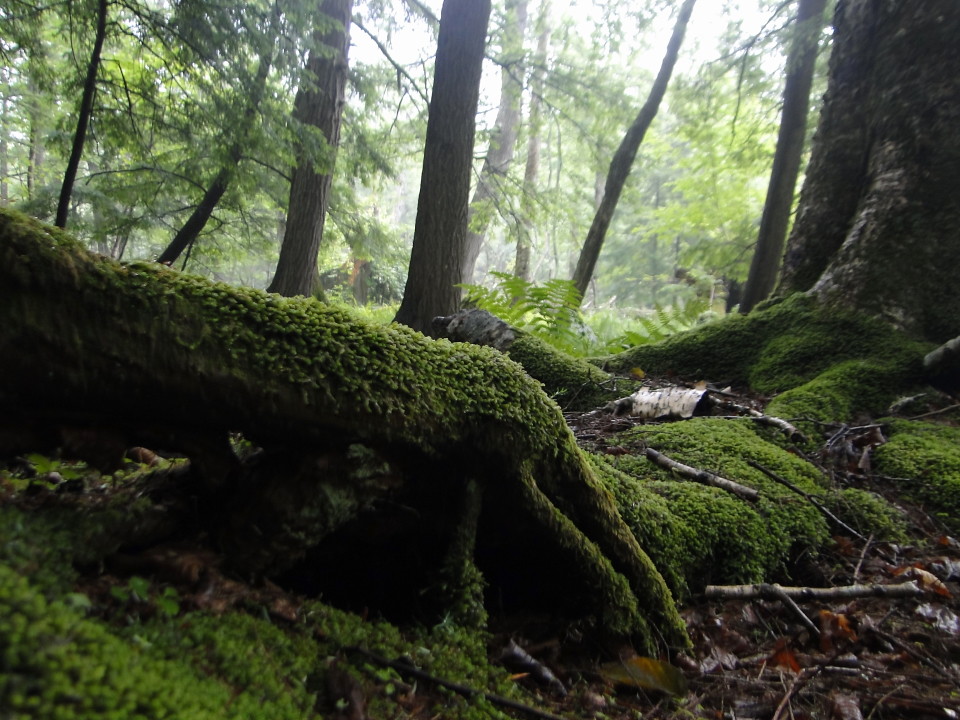
forest Mongaup Pond Catskills 87
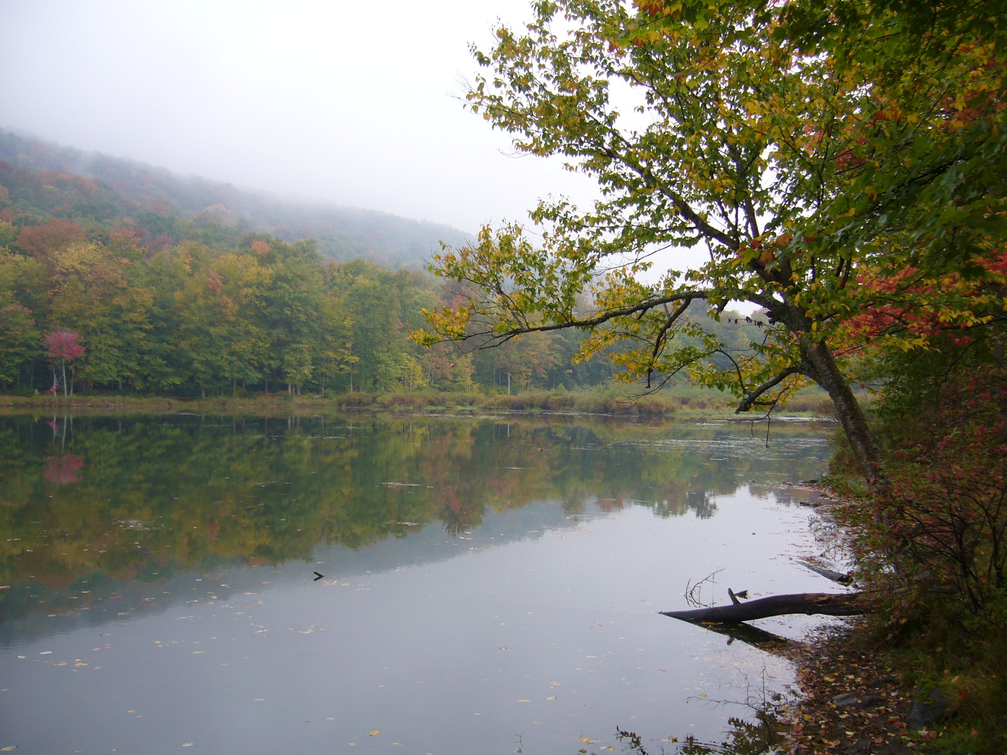
Mongaup Pond
forest Mongaup Pond Catskills 87
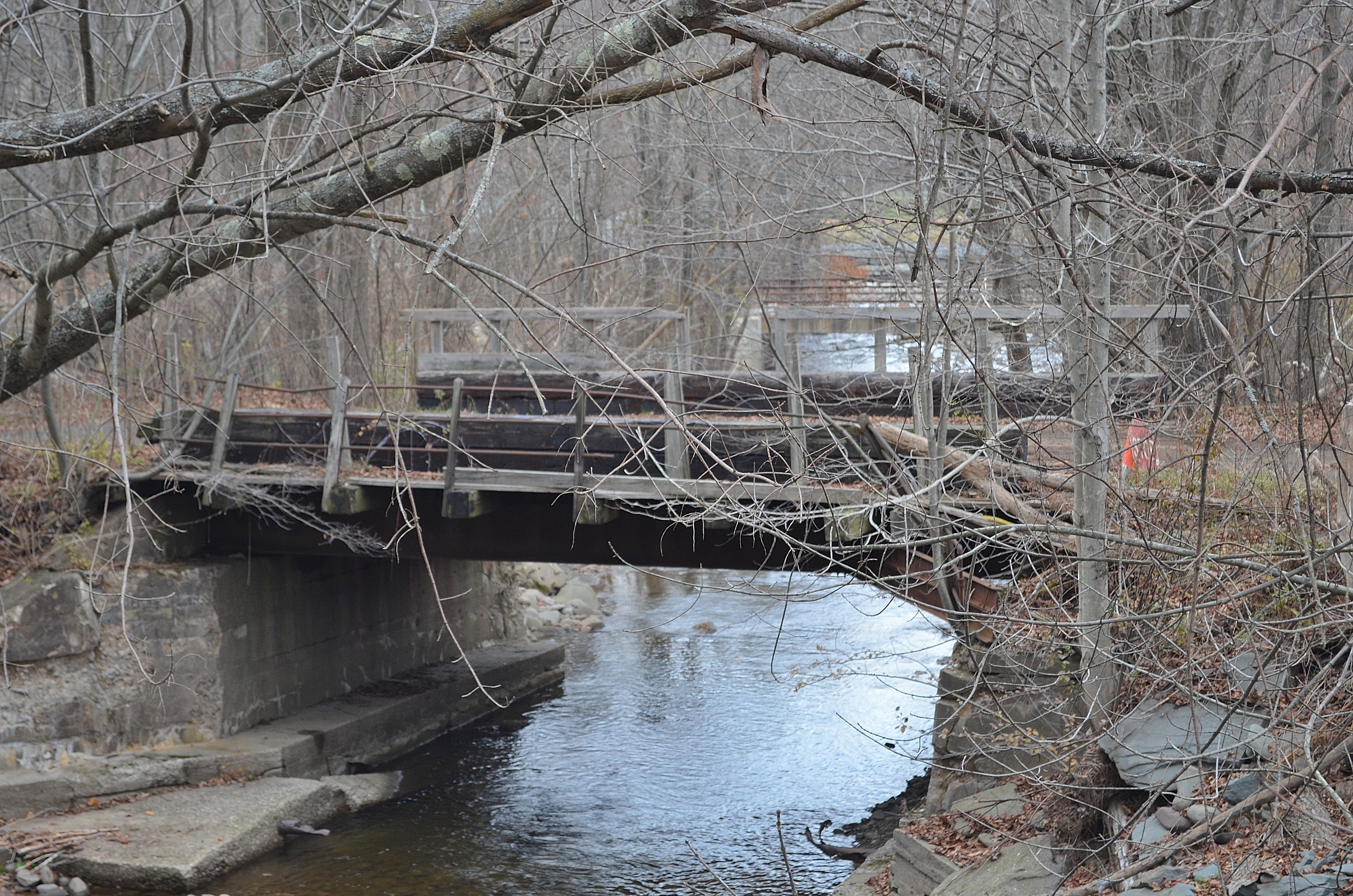
Railroad Bridge
Cabin in the woods
P1040081.JPG
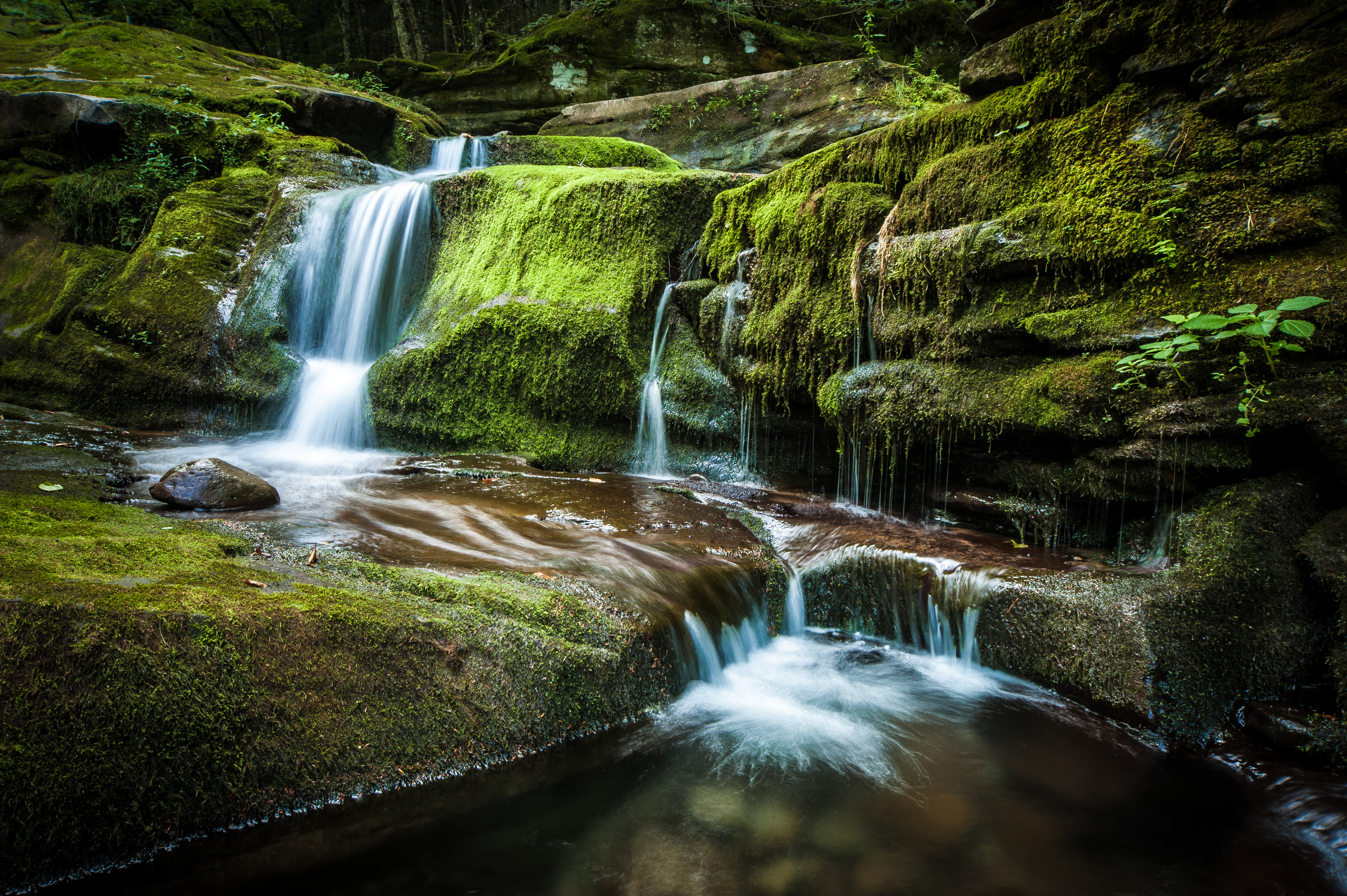
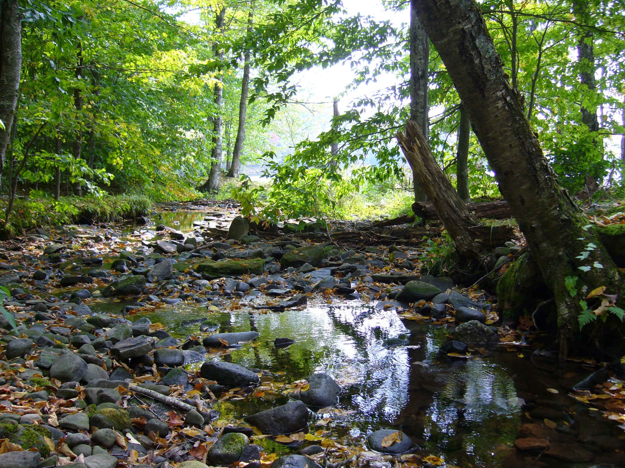
Hazel bridge pool
On the Lake
Target Practice
Topographic Map of Shin Creek Road, Shin Creek Rd, New York, USA
Find elevation by address:

Places near Shin Creek Road, Shin Creek Rd, New York, USA:
641 Knickerbocker Rd
Mongaup Pond Campground
Rockland
Beaver Kill
841 Debruce Rd
Beaverkill Campground
1178 Debruce Rd
Tuttle Hill Road
726 Anderson Rd
538 Breezy Hill Rd
61 Beaverkill Rd, Livingston Manor, NY, USA
78 Forest Dr
78 Forest Dr
Forest Drive
Hunter Lake Campgrounds
569 Breezy Hill Rd
278 Amber Lake Rd
Craigie Clair Rd, Roscoe, NY, USA
20 Willow Dr
18 Main St
Recent Searches:
- Elevation of Corso Fratelli Cairoli, 35, Macerata MC, Italy
- Elevation of Tallevast Rd, Sarasota, FL, USA
- Elevation of 4th St E, Sonoma, CA, USA
- Elevation of Black Hollow Rd, Pennsdale, PA, USA
- Elevation of Oakland Ave, Williamsport, PA, USA
- Elevation of Pedrógão Grande, Portugal
- Elevation of Klee Dr, Martinsburg, WV, USA
- Elevation of Via Roma, Pieranica CR, Italy
- Elevation of Tavkvetili Mountain, Georgia
- Elevation of Hartfords Bluff Cir, Mt Pleasant, SC, USA