Elevation of Shiloh Church Rd, Ellisville, MS, USA

Location: United States > Mississippi > Jones County > Ellisville >

Longitude: -89.258937

Latitude: 31.543551

Elevation: 107m / 351feet

Barometric Pressure: 100KPa

Elevation Map:

elevation map of Shiloh Church Rd, Ellisville, MS, USA

Satellite Map:

Satellite map of Shiloh Church Rd, Ellisville, MS, USA

Related Photos:

jlrphotography nikond7200 nikon d7200 photography ellisvillems thecitybeautiful jonescounty mississippi 2020 engineerswithcameras thefreestateofjones photographyforgod thesouth southernphotography screamofthephotographer ibeauty jlramsaurphotography pineywoods tennesseephotographer ellisvillemississippi yellowpinecapitaloftheworld southeastmississippi ellisville painting art mural everythingisgonnabeokaymural everythingisgonnabeokaypainting everythingisgonnabeokayart mississippihdr hdr worldhdr hdraddicted bracketed photomatix hdrphotomatix hdrvillage hdrworlds hdrimaging hdrrighthererightnow bluesky deepbluesky beautifulsky sign signage it’sasign signssigns iseeasign signcity ruralsouth rural ruralamerica ruralmississippi ruralview oldbuildings structuresofthesouth smalltownamerica americana everythingisgonnabeokay
Everything Is Gonna Be Okay mural - Ellisville, Mississippi
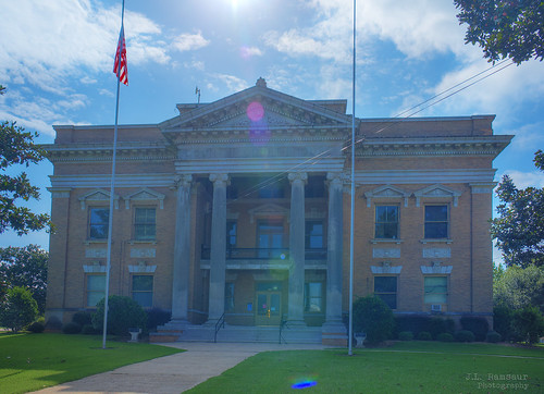
jonescountycourthouse historicbuilding history historic tennesseehistory historyisallaroundus americanrelics fadingamerica it’saretroworldafterall oldandbeautiful vanishingamerica uscountycourthouses mississippicountycourthouses jlrphotography nikond7200 nikon d7200 photography ellisvillems thecitybeautiful jonescounty mississippi 2020 engineerswithcameras thefreestateofjones photographyforgod thesouth southernphotography screamofthephotographer ibeauty jlramsaurphotography pineywoods tennesseephotographer ellisvillemississippi yellowpinecapitaloftheworld southeastmississippi ellisville engineeringasart ofandbyengineers engineeringisart engineering architecture americanflag usflag redwhiteblue oldglory patriotic patrioticproud americana america usa unitedstatesofamerica starsandstripes redwhiteandblue godblessamerica ruralsouth rural ruralamerica ruraltennessee ruralview oldbuildings structuresofthesouth smalltownamerica hdr worldhdr hdraddicted bracketed photomatix hdrphotomatix hdrvillage hdrworlds hdrimaging hdrrighthererightnow nationalregisterofhistoricplaces
Jones County Courthouse - Ellisville, Mississippi
mississippi courthouse 1908 jonescounty ellisvillems freestateofjones
Jones County Courthouse in Ellisville (Side View)
railroad mississippi norfolksouthern railroadties 5205 worktrain ellisvillems
Norfolk Southern Work Train South of Ellisville, Mississippi in March 1991
mississippi steeple morningsun presbyterianchurch ellisvillems
Ellisville, Mississippi Presbyterian Church
uploaded:by=flickrmobile flickriosapp:filter=nofilter
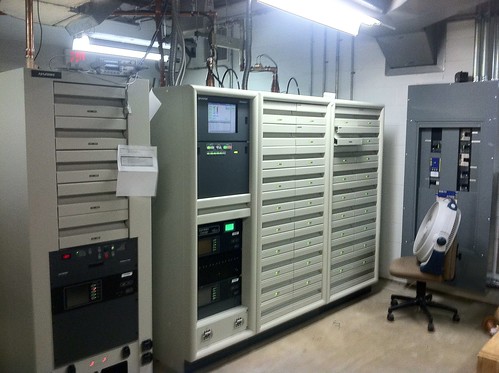
WDAM Transmitter
uploaded:by=flickrmobile flickriosapp:filter=nofilter
WDAM Transmitter
square lofi squareformat iphoneography instagramapp uploaded:by=instagram
Office with a view
driving
#driving
driving
#driving
jonescounty
Union Falls
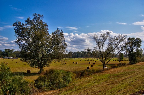
autumn trees sky tree fall beauty field clouds mississippi stars flickr natural postcard central harvest southern theme hay flickrcentral naturalbeauty laurel hdr hattiesburg yourpostcardshot postcardshot flickrtoday flickrstars yourpostcard skytheme erniesmith theskytheme naturalbeauty2011 esmithiii erniesmithphotography erniesportfolio esmithiii2003
Hay Rolls
sky green mississippi landscapes hdr southernmississippi esmithiii esmithiii2003
Field of Cows
clouds wx summerthunderstorm
#WX #Clouds #summerthunderstorm
i59 summer2016
#summer2016 #I59
kpib uploaded:by=flickrmobile flickriosapp:filter=peacock peacockfilter
Hattiesburg- Laurel Regional Airport (KPIB)
kpib
Hattiesburg- Laurel Regional Airport (KPIB)
Tree at morning
i59
Looking SW on #I59 N