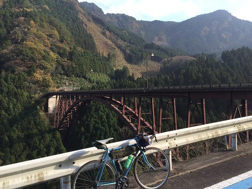
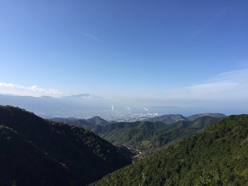
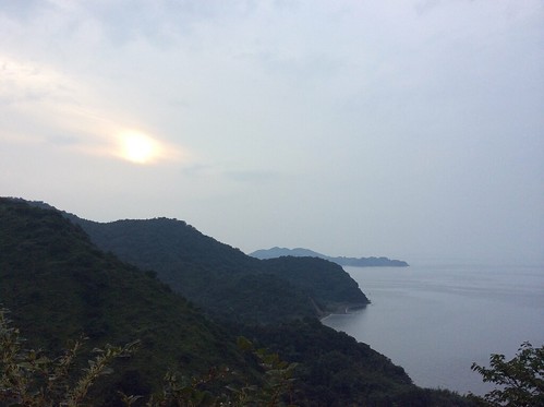
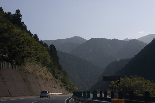
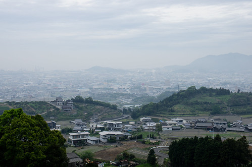
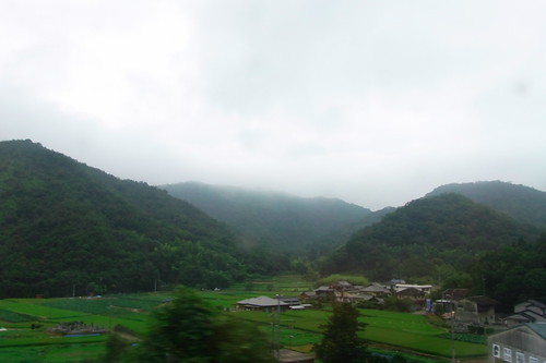
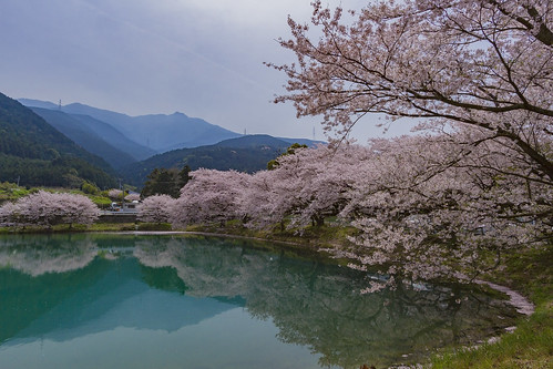
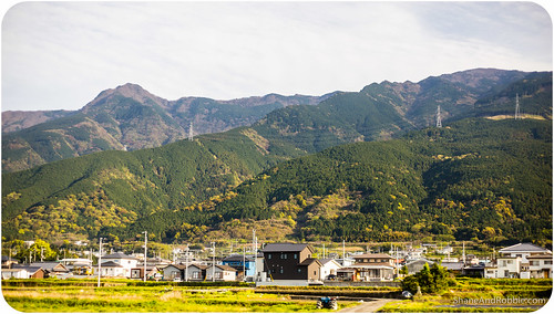
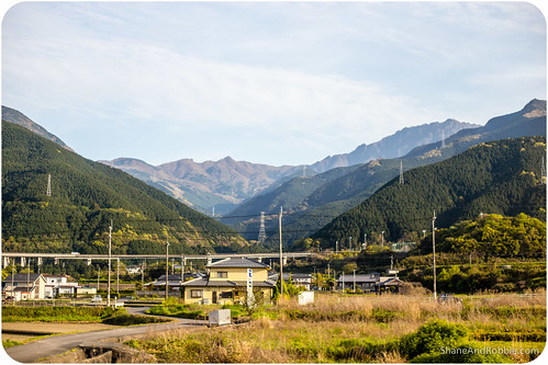
Elevation of Shikokuchuo, Ehime Prefecture, Japan
Location: Japan > Ehime Prefecture >
Longitude: 133.549194
Latitude: 33.9807605
Elevation: 21m / 69feet
Barometric Pressure: 101KPa
Related Photos:
Topographic Map of Shikokuchuo, Ehime Prefecture, Japan
Find elevation by address:

Places in Shikokuchuo, Ehime Prefecture, Japan:
Shingūchō Umatate, Shikokuchūō-shi, Ehime-ken -, Japan
-2 Kawanoechō, Shikokuchūō-shi, Ehime-ken -, Japan
Places near Shikokuchuo, Ehime Prefecture, Japan:
4 Chome-6-55 Mishimamiyagawa
四国中央市役所
-2 Kawanoechō, Shikokuchūō-shi, Ehime-ken -, Japan
228 Besshiyama
Mt. Higashi-akaishi
Okawa
Besshiyama
Tosa District
88 Kawasaki, Ōkawa-mura, Tosa-gun, Kōchi-ken -, Japan
乙109
Minagawa, Tosa-chō, Tosa-gun, Kōchi-ken -, Japan
Tatsukawachō, Niihama-shi, Ehime-ken -, Japan
Niihama
Uoshima, Kamijima-chō, Ochi-gun, Ehime-ken -, Japan
Fukutakekō, Saijō-shi, Ehime-ken -, Japan
Hishima, Kasaoka-shi, Okayama-ken -, Japan
37 Honmachi, Saijō-shi, Ehime-ken -, Japan
Saijo
Tomochōtomo, Fukuyama-shi, Hiroshima-ken -, Japan
Kamijima
Recent Searches:
- Elevation of Corso Fratelli Cairoli, 35, Macerata MC, Italy
- Elevation of Tallevast Rd, Sarasota, FL, USA
- Elevation of 4th St E, Sonoma, CA, USA
- Elevation of Black Hollow Rd, Pennsdale, PA, USA
- Elevation of Oakland Ave, Williamsport, PA, USA
- Elevation of Pedrógão Grande, Portugal
- Elevation of Klee Dr, Martinsburg, WV, USA
- Elevation of Via Roma, Pieranica CR, Italy
- Elevation of Tavkvetili Mountain, Georgia
- Elevation of Hartfords Bluff Cir, Mt Pleasant, SC, USA
