Elevation of Shihezi, Xinjiang, China
Location: China > Xinjiang >
Longitude: 86.080602
Latitude: 44.306097
Elevation: 482m / 1581feet
Barometric Pressure: 96KPa
Elevation Map:
Satellite Map:
Related Photos:
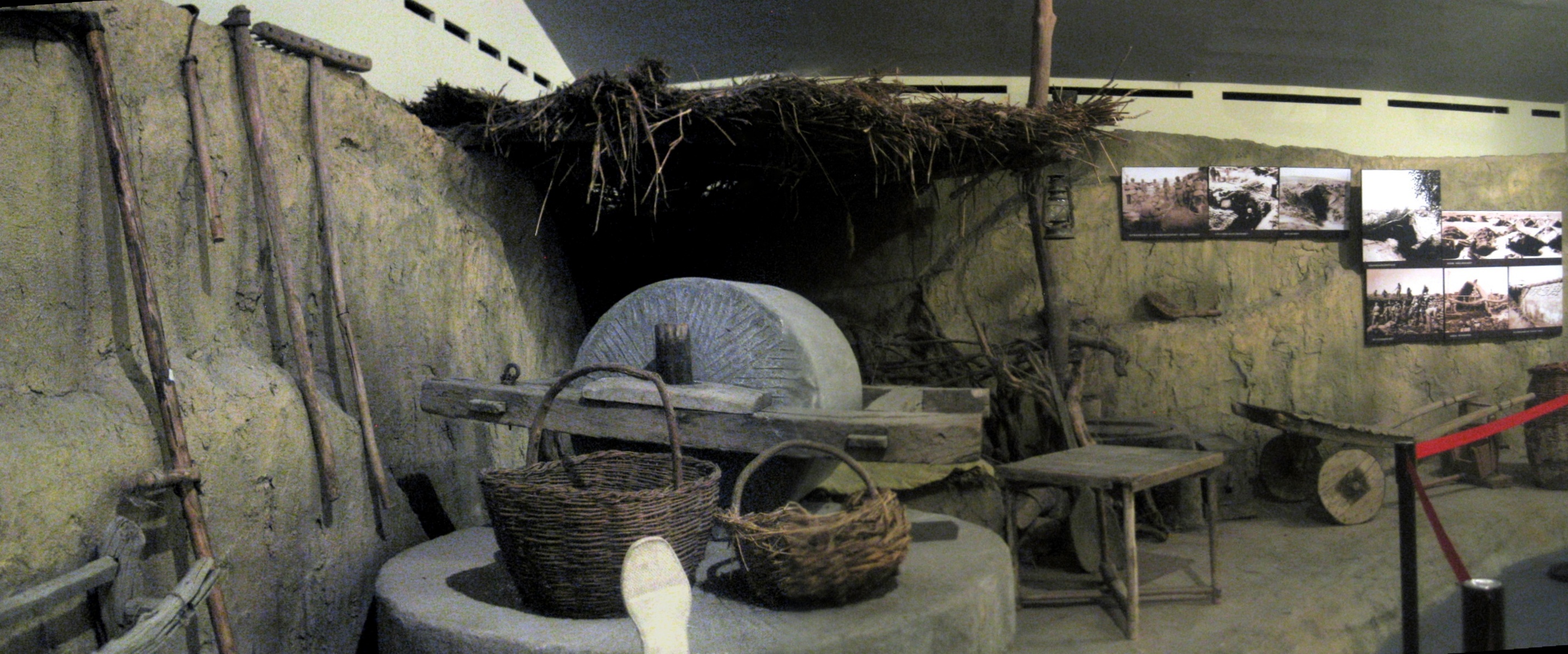
Museum of pioneer corps (city of Shihezi)
xin jiang

pano2012july6shihezi-pioneer1950s

P71227-094104

P71227-094109

Rain and Fall...

Bokeh!

…

Camera Roll-528

哈哈haha

謁visit

牆wall

序order

旭日東升Sunrise

圖書館library

草

无名氏

看着很假的样子…

燈籠人lanternman

电动积铁

花坛Parterre
Topographic Map of Shihezi, Xinjiang, China
Find elevation by address:

Recent Searches:
- Elevation of Corso Fratelli Cairoli, 35, Macerata MC, Italy
- Elevation of Tallevast Rd, Sarasota, FL, USA
- Elevation of 4th St E, Sonoma, CA, USA
- Elevation of Black Hollow Rd, Pennsdale, PA, USA
- Elevation of Oakland Ave, Williamsport, PA, USA
- Elevation of Pedrógão Grande, Portugal
- Elevation of Klee Dr, Martinsburg, WV, USA
- Elevation of Via Roma, Pieranica CR, Italy
- Elevation of Tavkvetili Mountain, Georgia
- Elevation of Hartfords Bluff Cir, Mt Pleasant, SC, USA