Elevation map of Shetland Islands, UK
Location: United Kingdom > Scotland >
Longitude: -1.2659408
Latitude: 60.5296507
Elevation: -6m / -20feet
Barometric Pressure: 101KPa
Elevation Map:
Satellite Map:
Related Photos:

Dore Holm natural arch, Eshaness, Shetland Islands [Explored 487 on Sunday, August 31, 2014]

Windhouse - Yell - Shetland

Windhouse - Yell - Shetland

Windhouse - Yell - Shetland

Windhouse - Yell - Shetland

Windhouse - Yell - Shetland

Windhouse - Yell - Shetland

Windhouse - Yell - Shetland

Windhouse - Yell - Shetland
Gaza, North Mainland

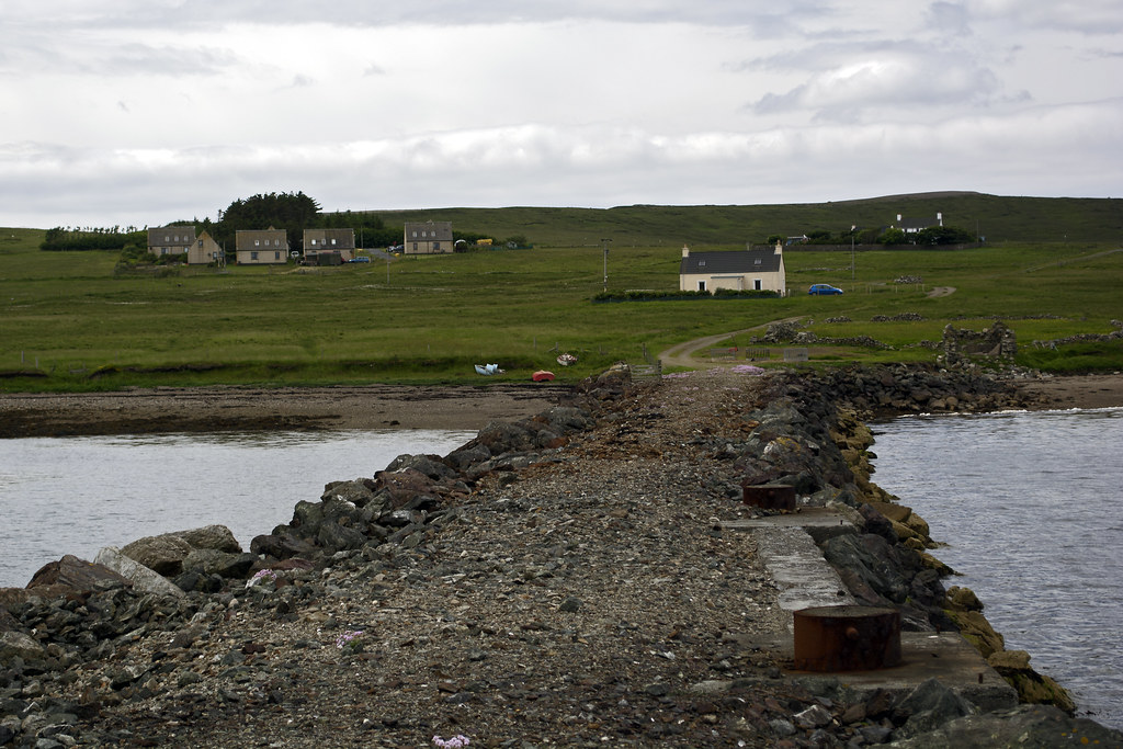
Windhouse - Yell - Shetland

Windhouse - Yell - Shetland

Windhouse - Yell - Shetland

Windhouse - Yell - Shetland
As good as it got

Windhouse - Yell - Shetland

Windhouse - Yell - Shetland

Windhouse - Yell - Shetland

Windhouse - Yell - Shetland

Windhouse - Yell - Shetland

Windhouse - Yell - Shetland

nordmeer-8180539.jpg
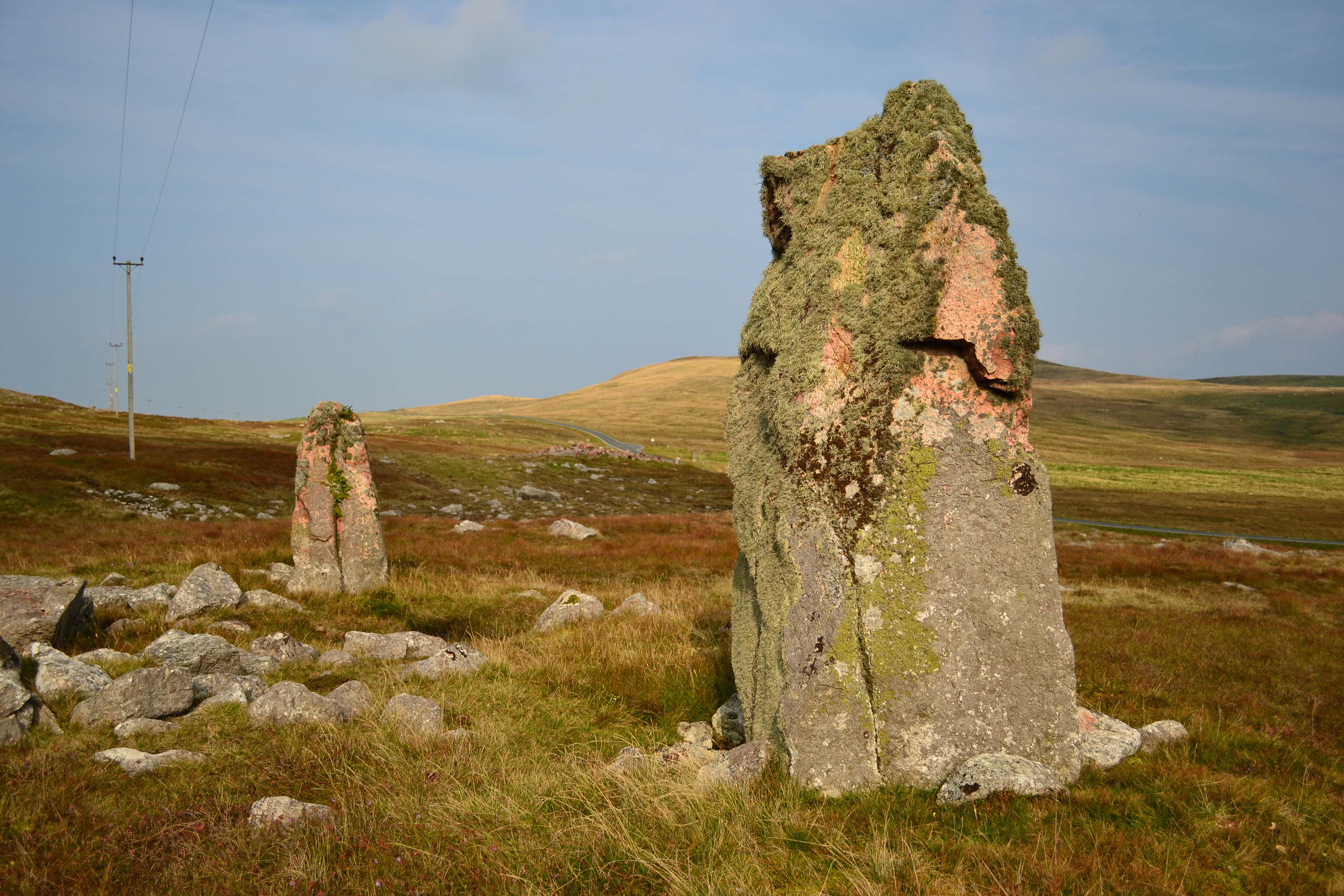
Giant's Grave standing stones

nordmeer-8180559.jpg
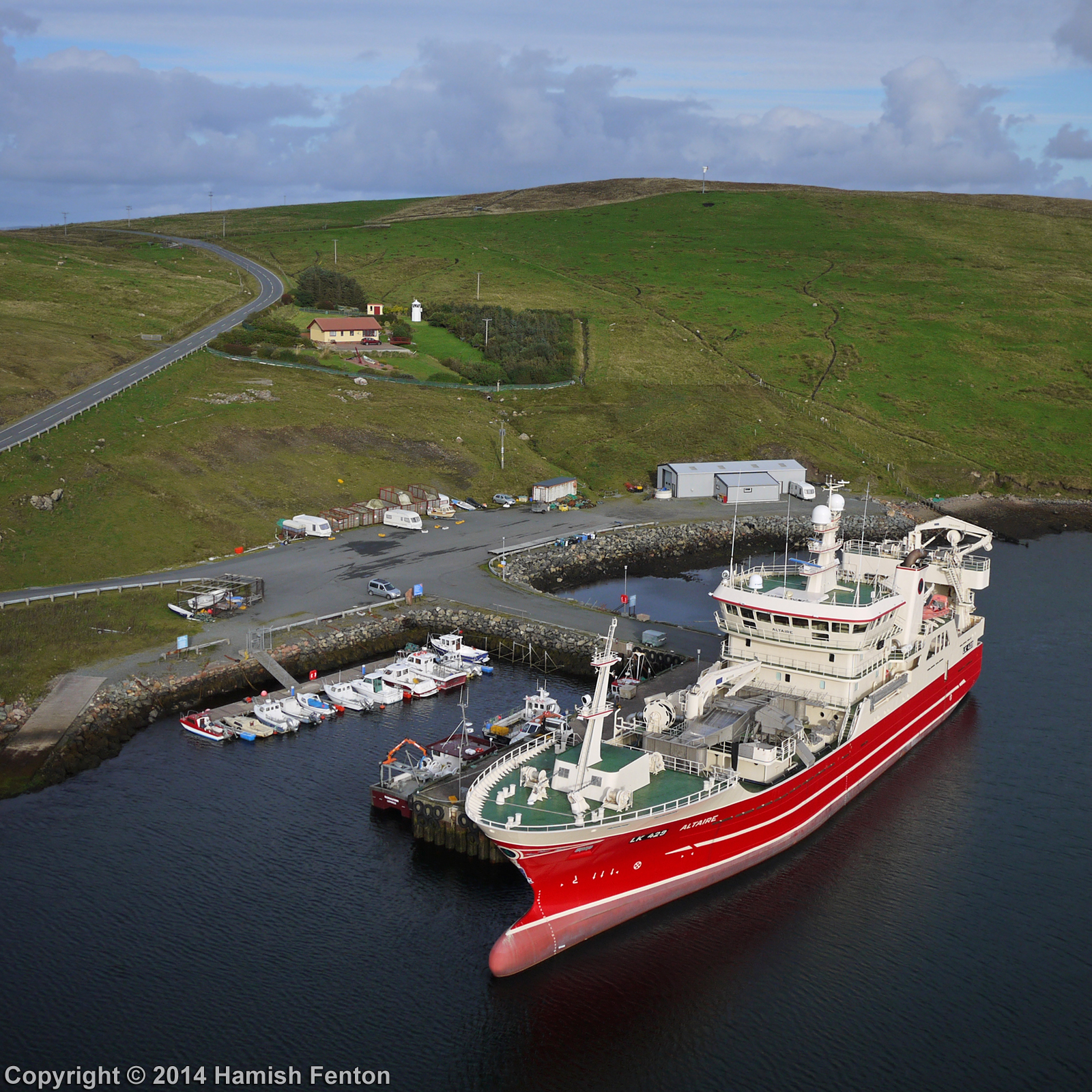
Altaire LK429 Fishing Trawler at Colla Firth, Shetland Isles
nordmeer-8180563.jpg

nordmeer-8180545.jpg
nordmeer-8180558.jpg
Hillswick, Shetland
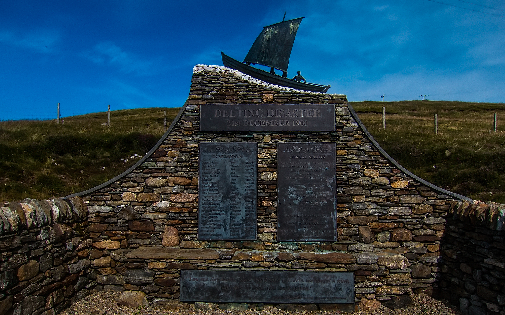
delting disaster memorial
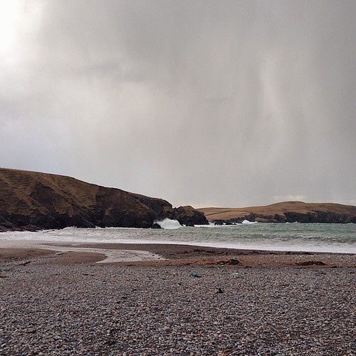
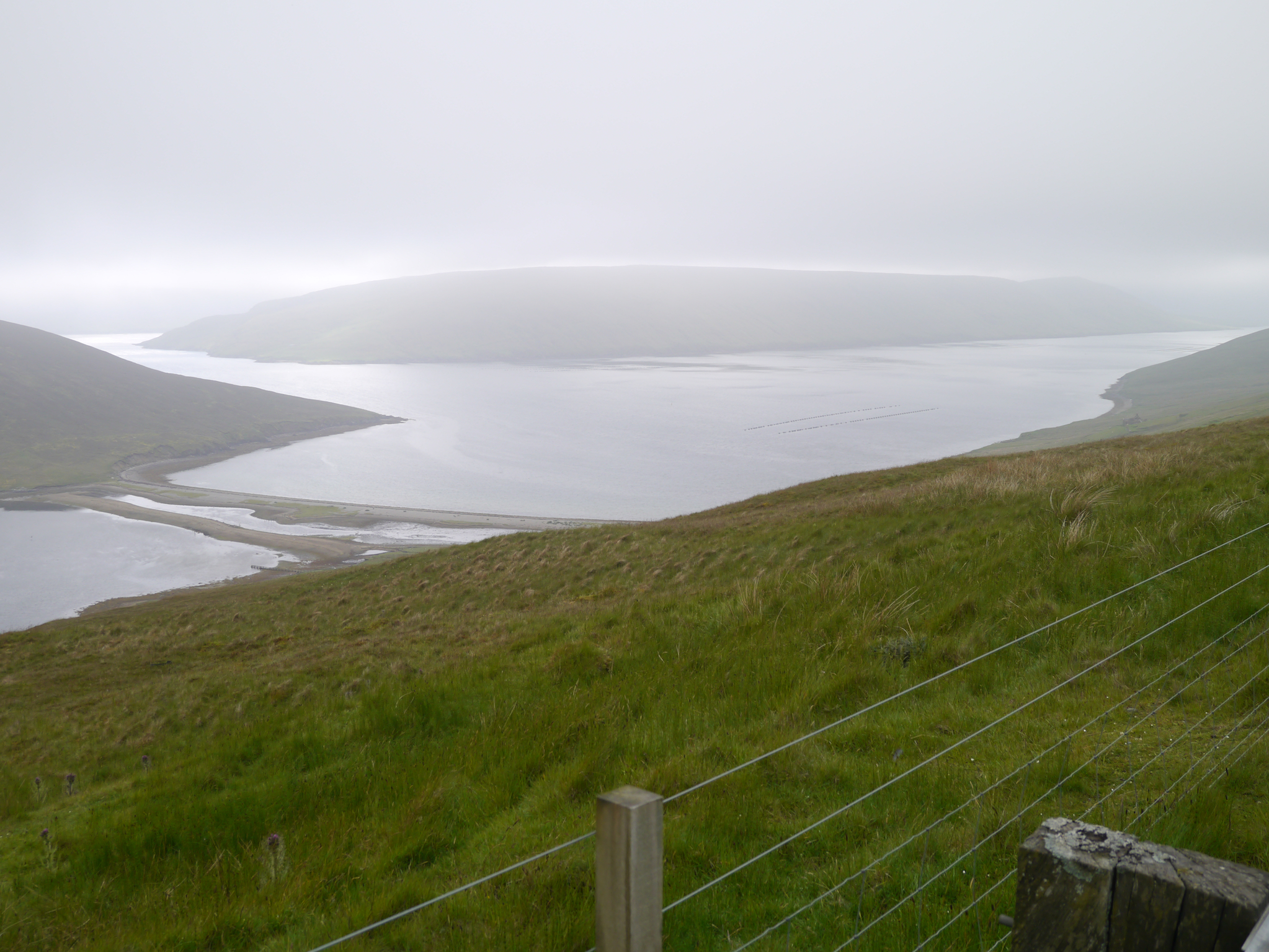
Sand Wick #Shetland
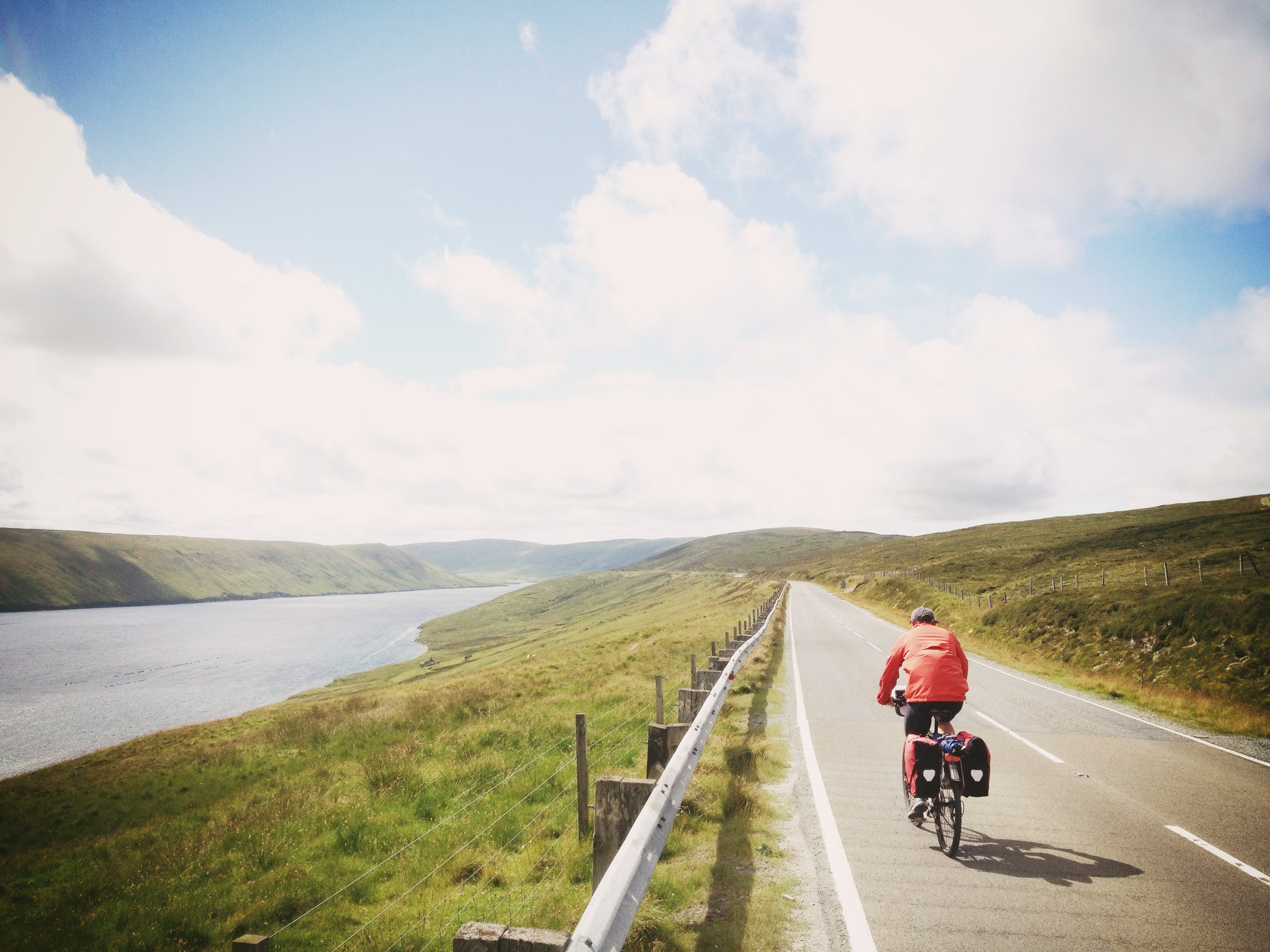
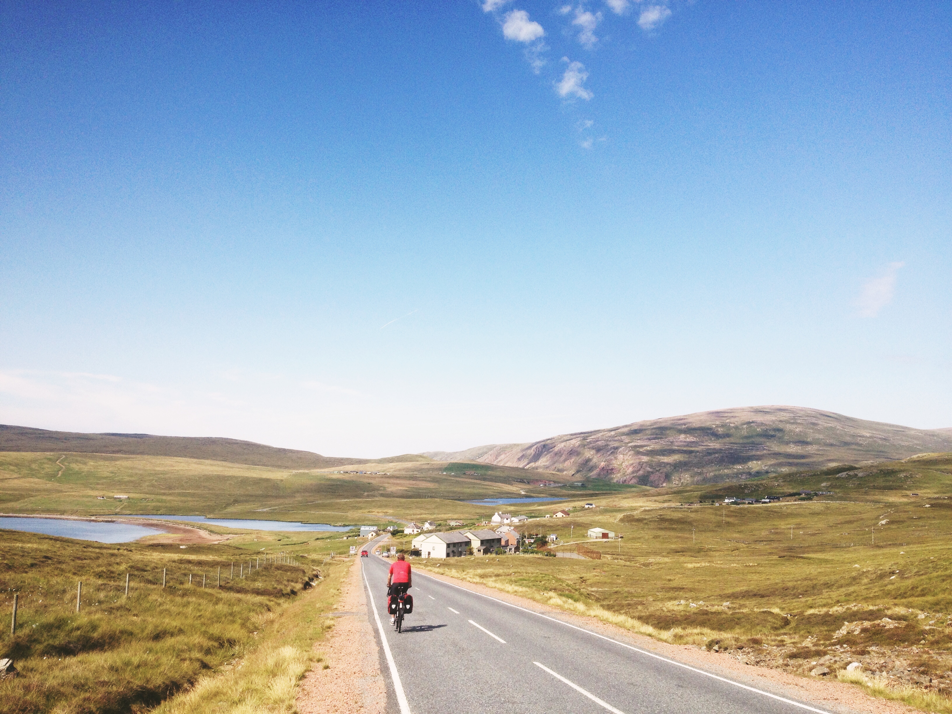
Cycling in Shetland!
Saberstone, Back of OllaberryIMG_7372
Beorgs of Housetter chambered cairn
Cycling in Northmavine
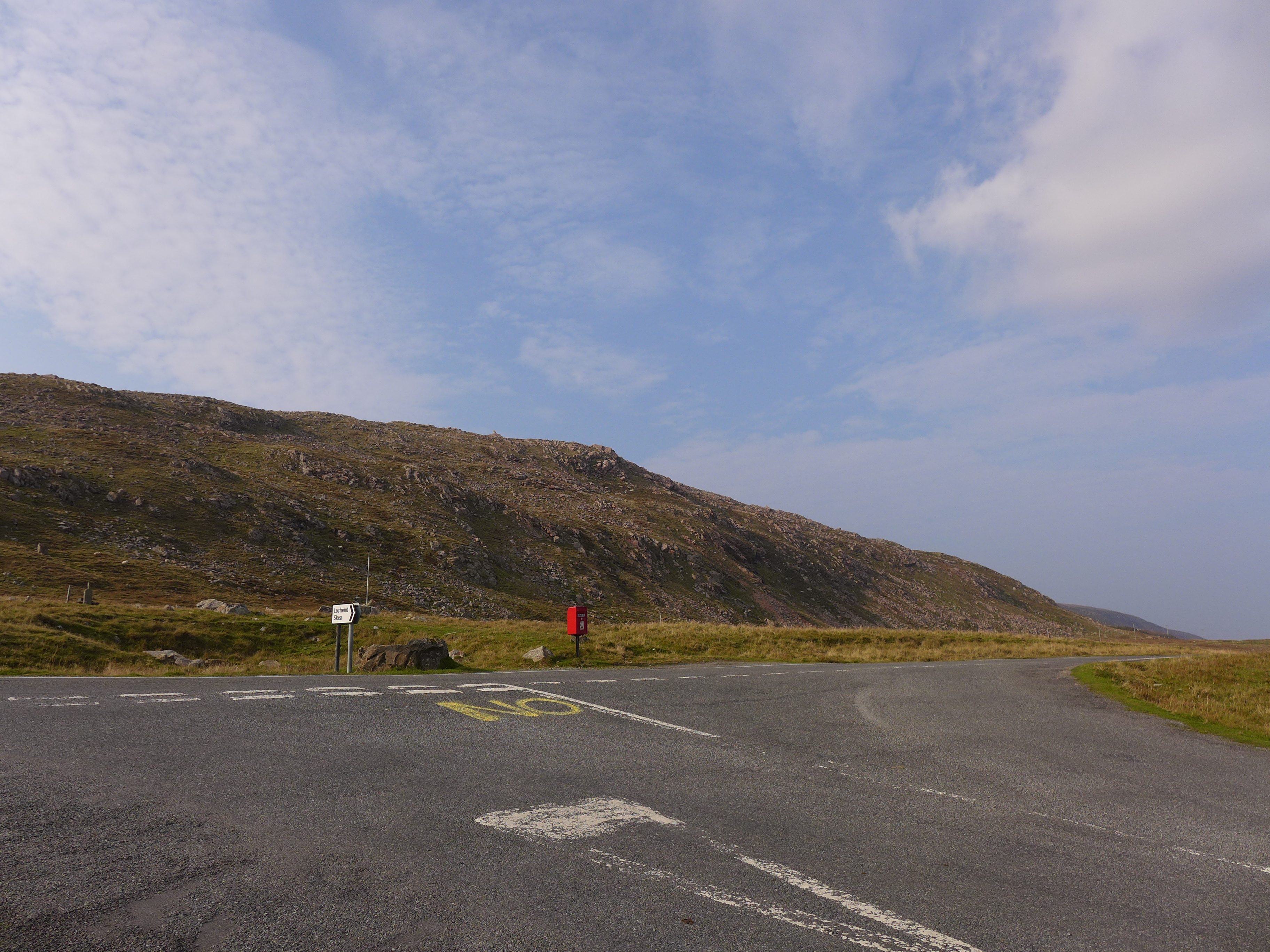
A lonely postbox
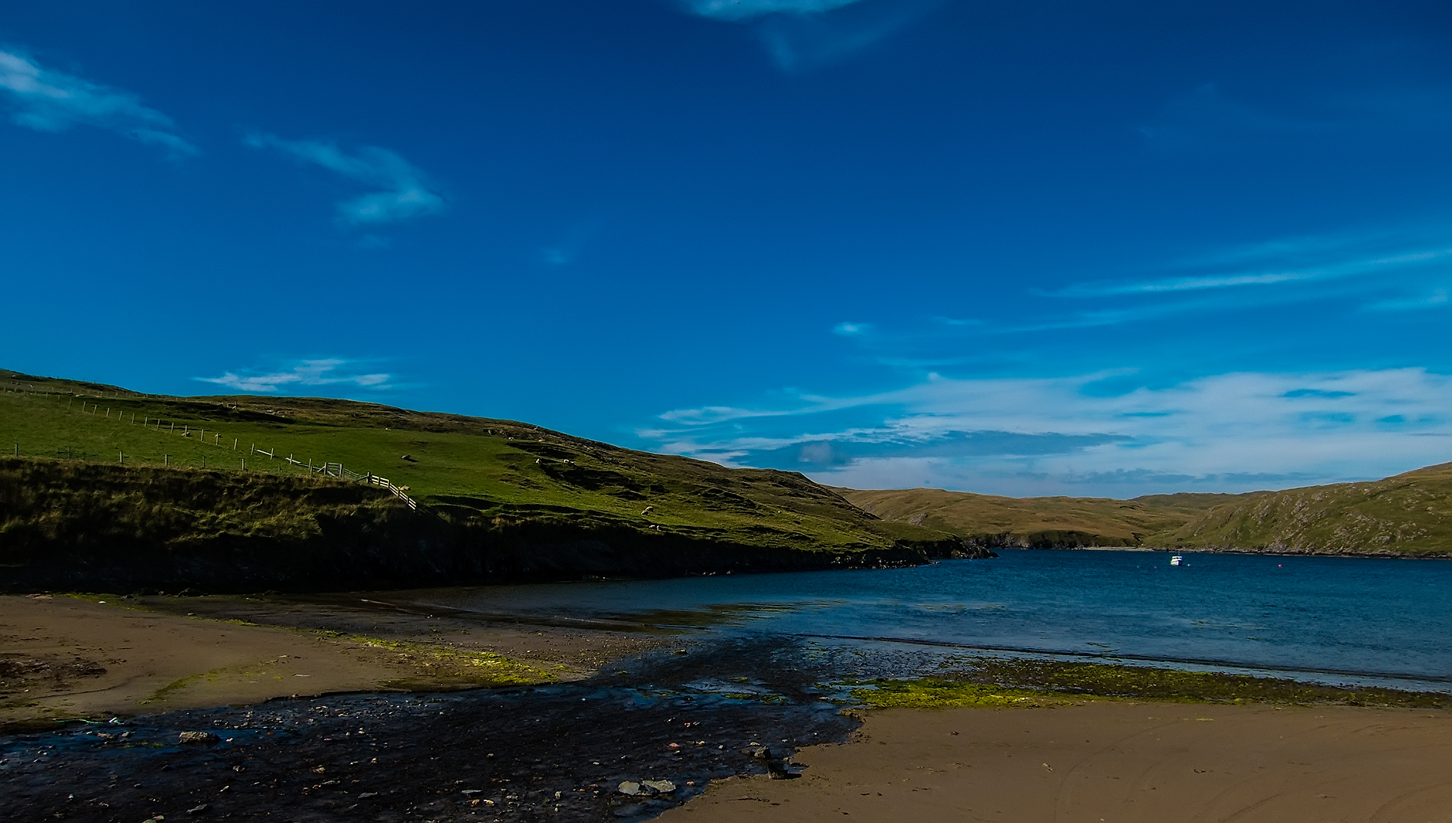
sand voe 01
Walls Boundary Fault, Ollaberry IMG_7382

Limnellia quadrata
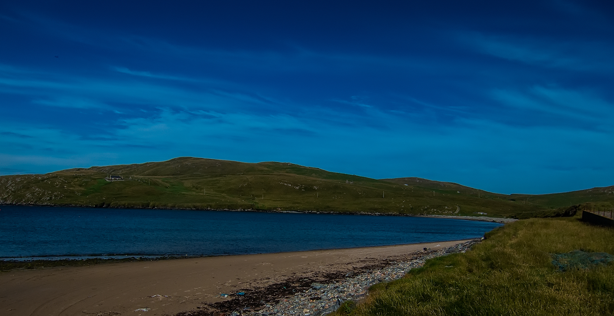
sand voe 03
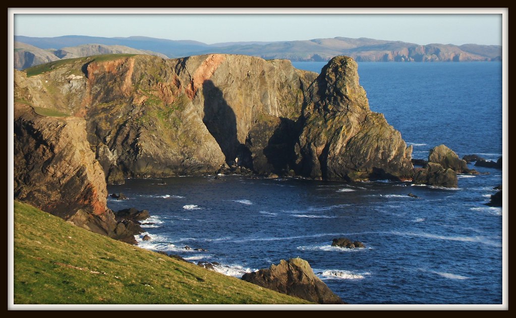
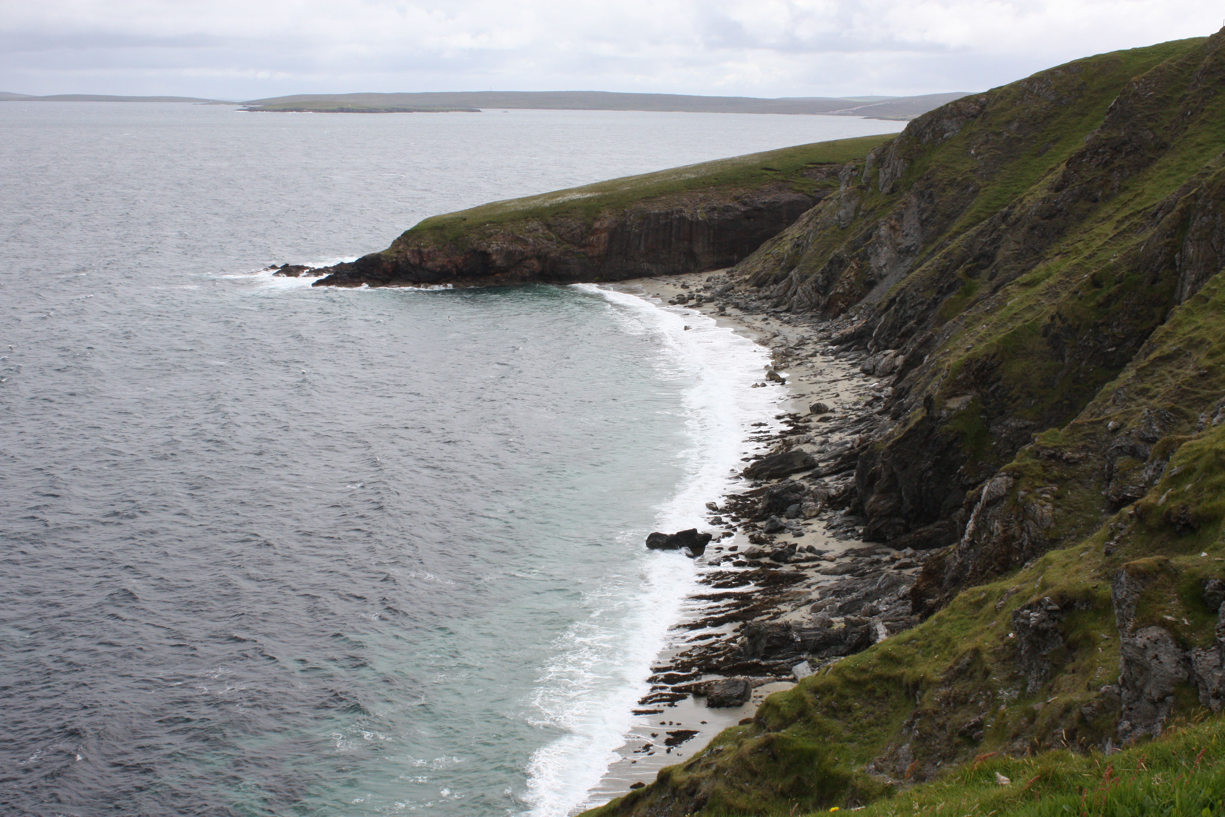
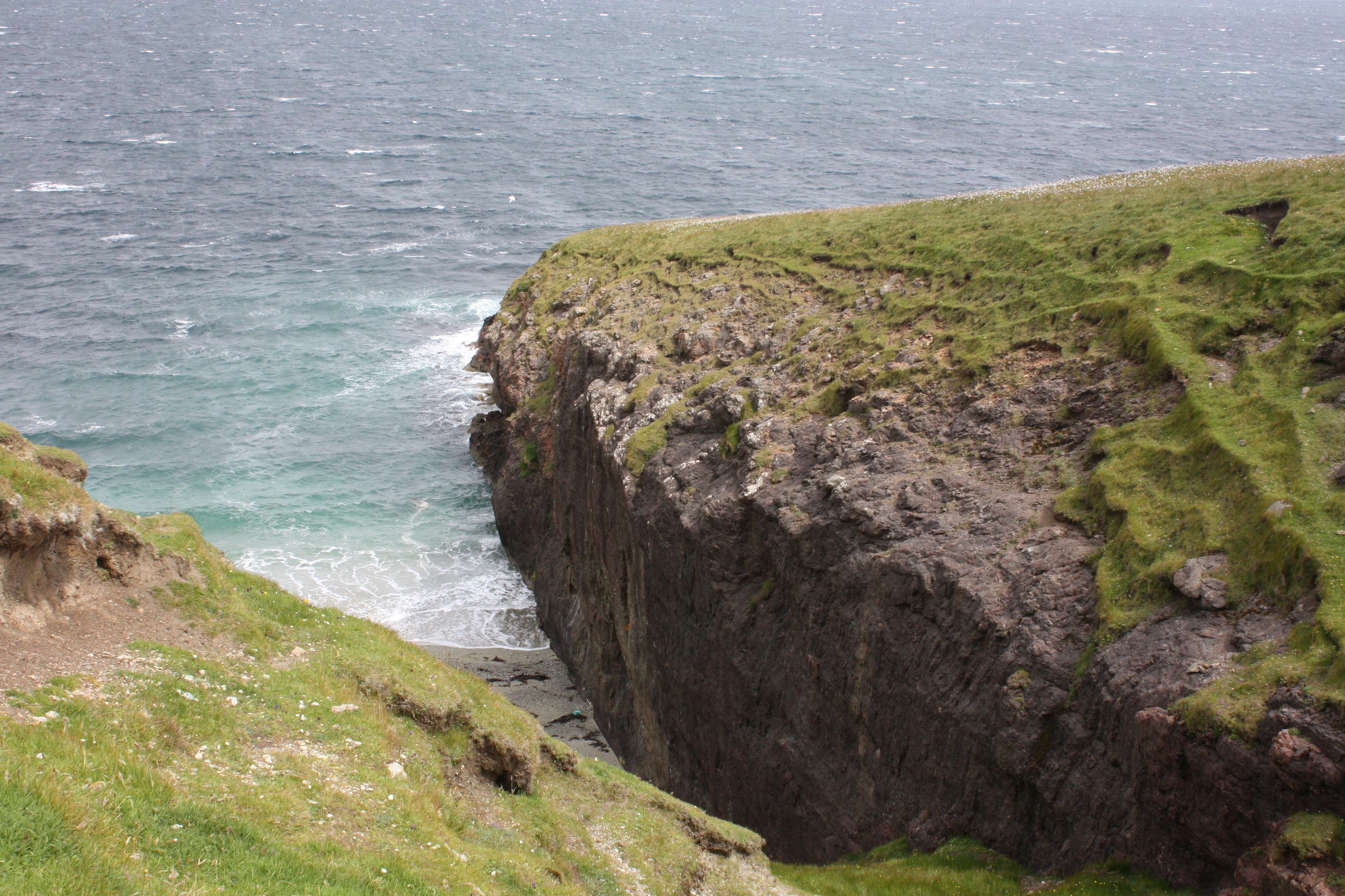
Gordi Stack on Ness of Hillswick
Topographic Map of Shetland Islands, UK
Find elevation by address:

Places in Shetland Islands, UK:
Ulsta
Whalsay
Virkie
Lerwick
Shetland
Sandwick
Brae
St Ninians Isle
North Roe
Ze2
Ronas Hill
Scalloway
Hoofields
Ze2 9ey
Sullom Voe Oil Terminal
Places near Shetland Islands, UK:
North Roe
Ulsta
1 Chalets, Ulsta, Yell, Shetland ZE2 9BD, UK
Hermaness National Nature Reserve Car Park
Recent Searches:
- Elevation of Corso Fratelli Cairoli, 35, Macerata MC, Italy
- Elevation of Tallevast Rd, Sarasota, FL, USA
- Elevation of 4th St E, Sonoma, CA, USA
- Elevation of Black Hollow Rd, Pennsdale, PA, USA
- Elevation of Oakland Ave, Williamsport, PA, USA
- Elevation of Pedrógão Grande, Portugal
- Elevation of Klee Dr, Martinsburg, WV, USA
- Elevation of Via Roma, Pieranica CR, Italy
- Elevation of Tavkvetili Mountain, Georgia
- Elevation of Hartfords Bluff Cir, Mt Pleasant, SC, USA