Elevation of Sherwood Forest, Texarkana, TX, USA
Location: United States > Texas > Bowie County > Texarkana >
Longitude: -94.150624
Latitude: 33.3534504
Elevation: 83m / 272feet
Barometric Pressure: 100KPa
Elevation Map:
Satellite Map:
Related Photos:

Old Bankhead Highway just west of Redwater
job huntin' #downtownTXK

IMG_3406.jpg
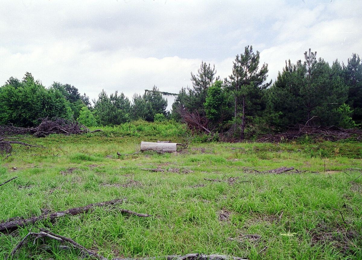
Peaceful hillside
blue 2

IMG_3420-Edit.jpg
T-town Sunset

IMG_3423.jpg

IMG_3413.jpg

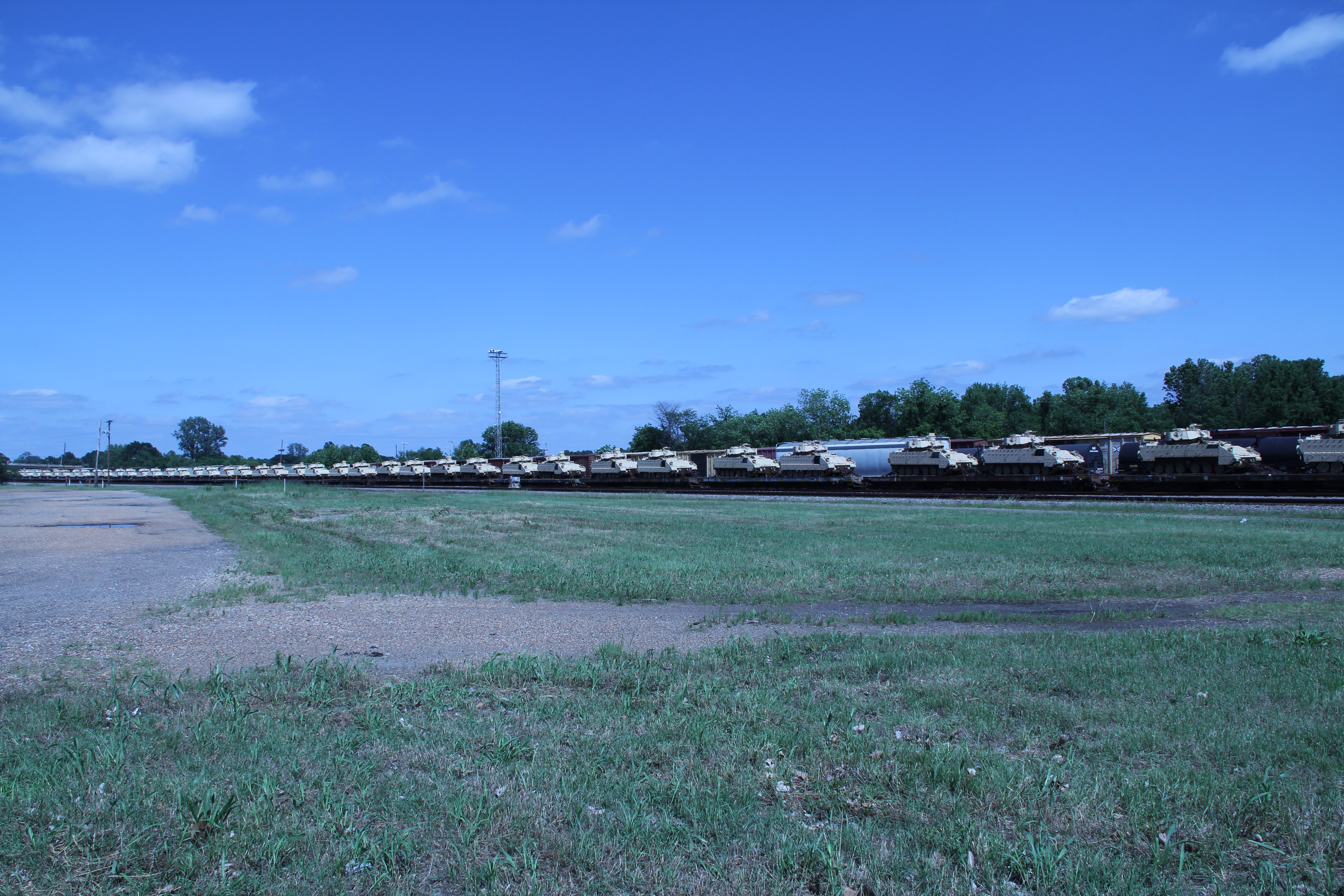
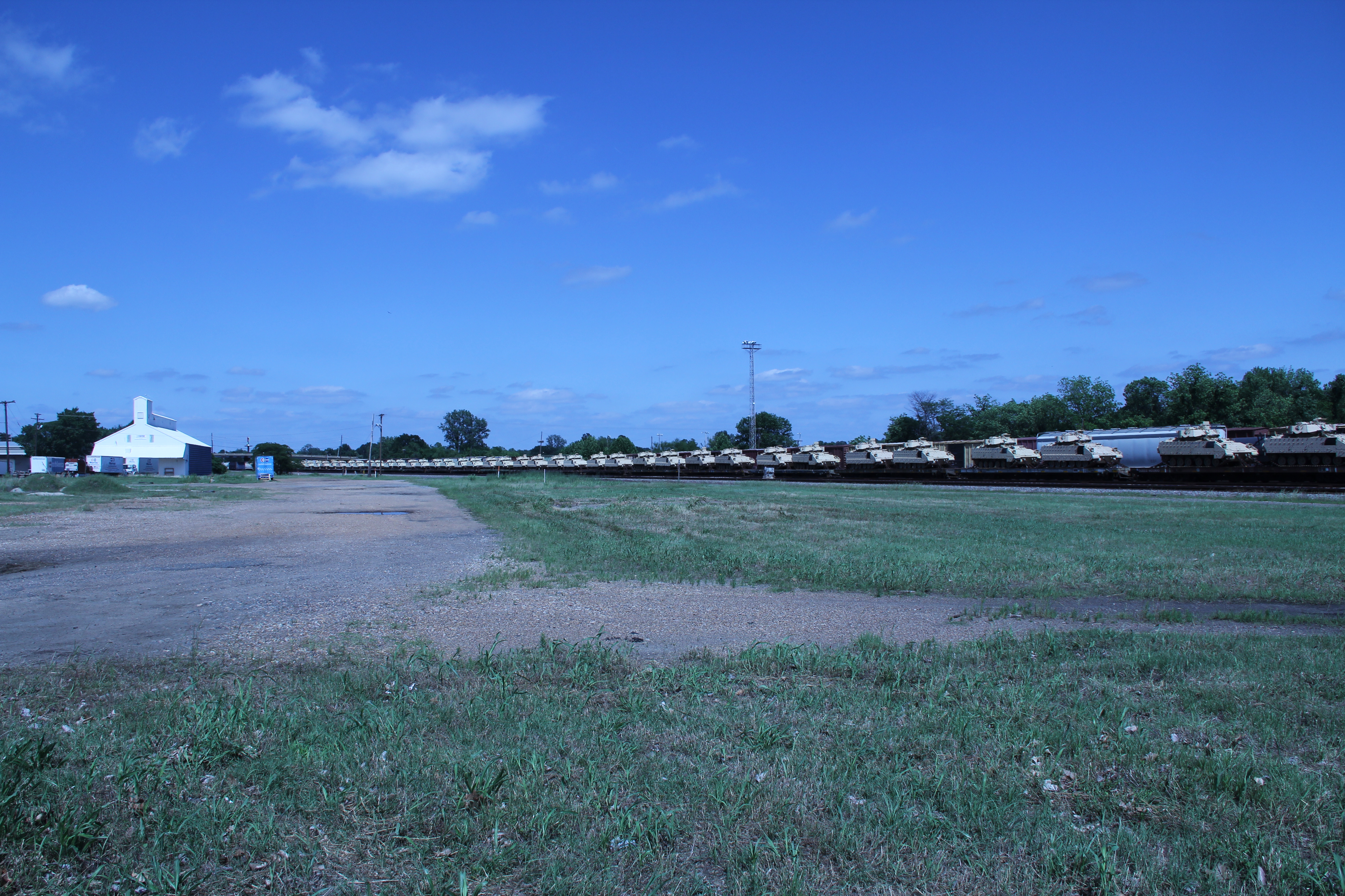
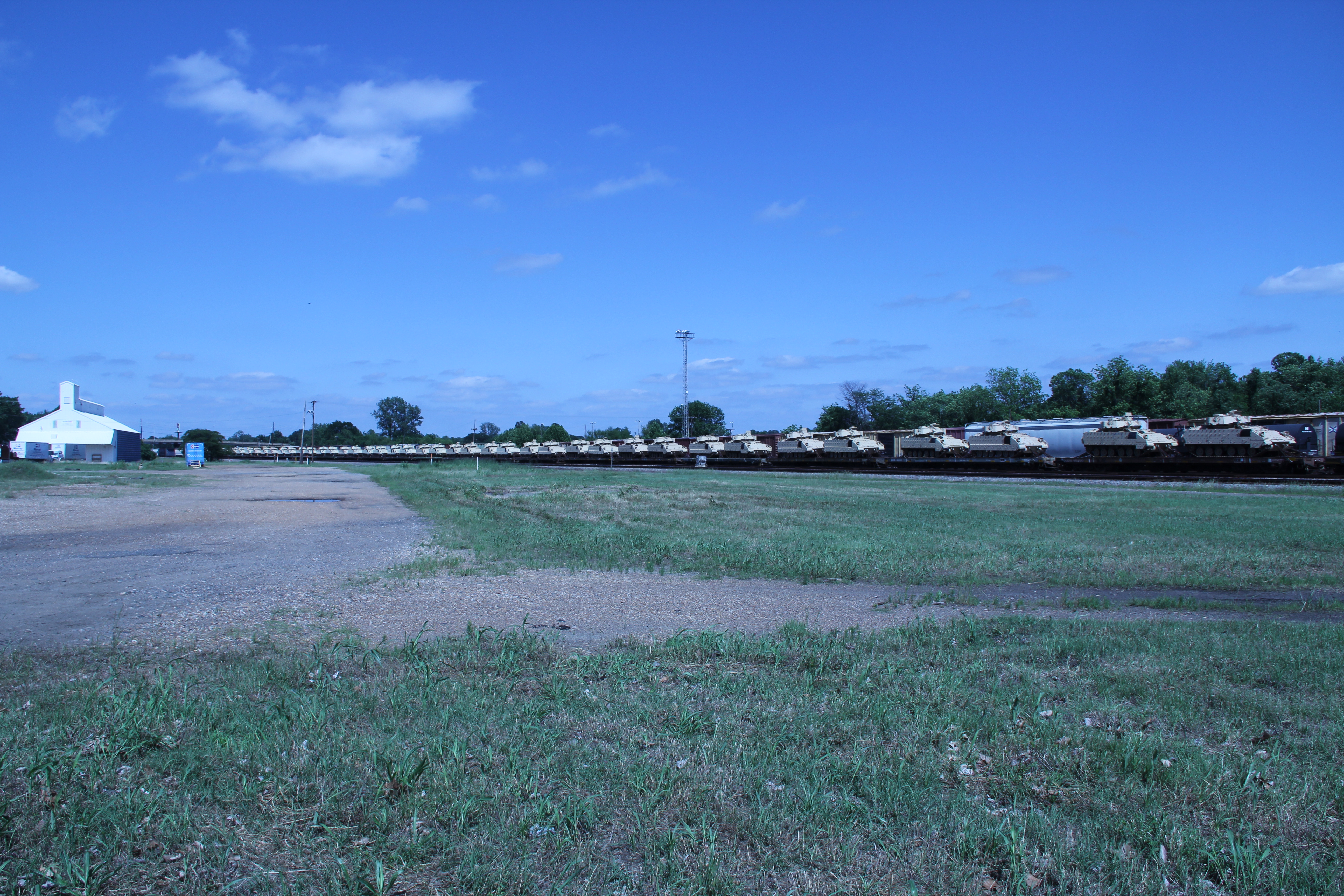
Downtown Railyard HDR

IMG_3410.jpg

Kissy kissy

Joy's Cinema City 6
Joy's Cinema City 6
IMG_0448.JPG
IMG_0453.JPG
IMG_0452.JPG
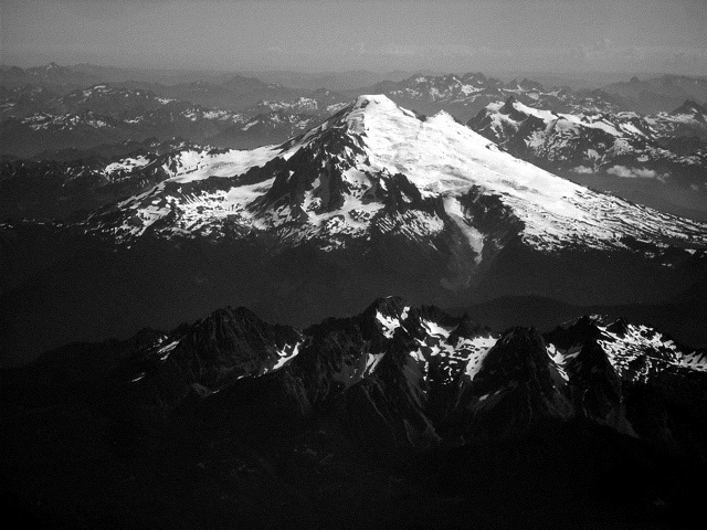
Mount Baker
Topographic Map of Sherwood Forest, Texarkana, TX, USA
Find elevation by address:

Places near Sherwood Forest, Texarkana, TX, USA:
295 Knottingham St
US-59, Texarkana, TX, USA
Texarkana, TX, USA
325 Inwood Rd
300 S Lake Dr
Farm Rd N, Texarkana, TX, USA
S State Line Ave, Texarkana, AR, USA
3310 Pleasant Grove Rd
W New Boston Rd, Hooks, TX, USA
Leary
Texarkana
2521 Olive St
College Hill
Texarkana
Potato Patch
2805 Forest Ave
Days Creek Township
County Road 444
7106 Gunstock Rd
Wamba
Recent Searches:
- Elevation of Corso Fratelli Cairoli, 35, Macerata MC, Italy
- Elevation of Tallevast Rd, Sarasota, FL, USA
- Elevation of 4th St E, Sonoma, CA, USA
- Elevation of Black Hollow Rd, Pennsdale, PA, USA
- Elevation of Oakland Ave, Williamsport, PA, USA
- Elevation of Pedrógão Grande, Portugal
- Elevation of Klee Dr, Martinsburg, WV, USA
- Elevation of Via Roma, Pieranica CR, Italy
- Elevation of Tavkvetili Mountain, Georgia
- Elevation of Hartfords Bluff Cir, Mt Pleasant, SC, USA