Elevation of Sherburn, MN, USA
Location: United States > Minnesota > Martin County > Jay Township >
Longitude: -94.769158
Latitude: 43.6533057
Elevation: 396m / 1299feet
Barometric Pressure: 97KPa
Elevation Map:
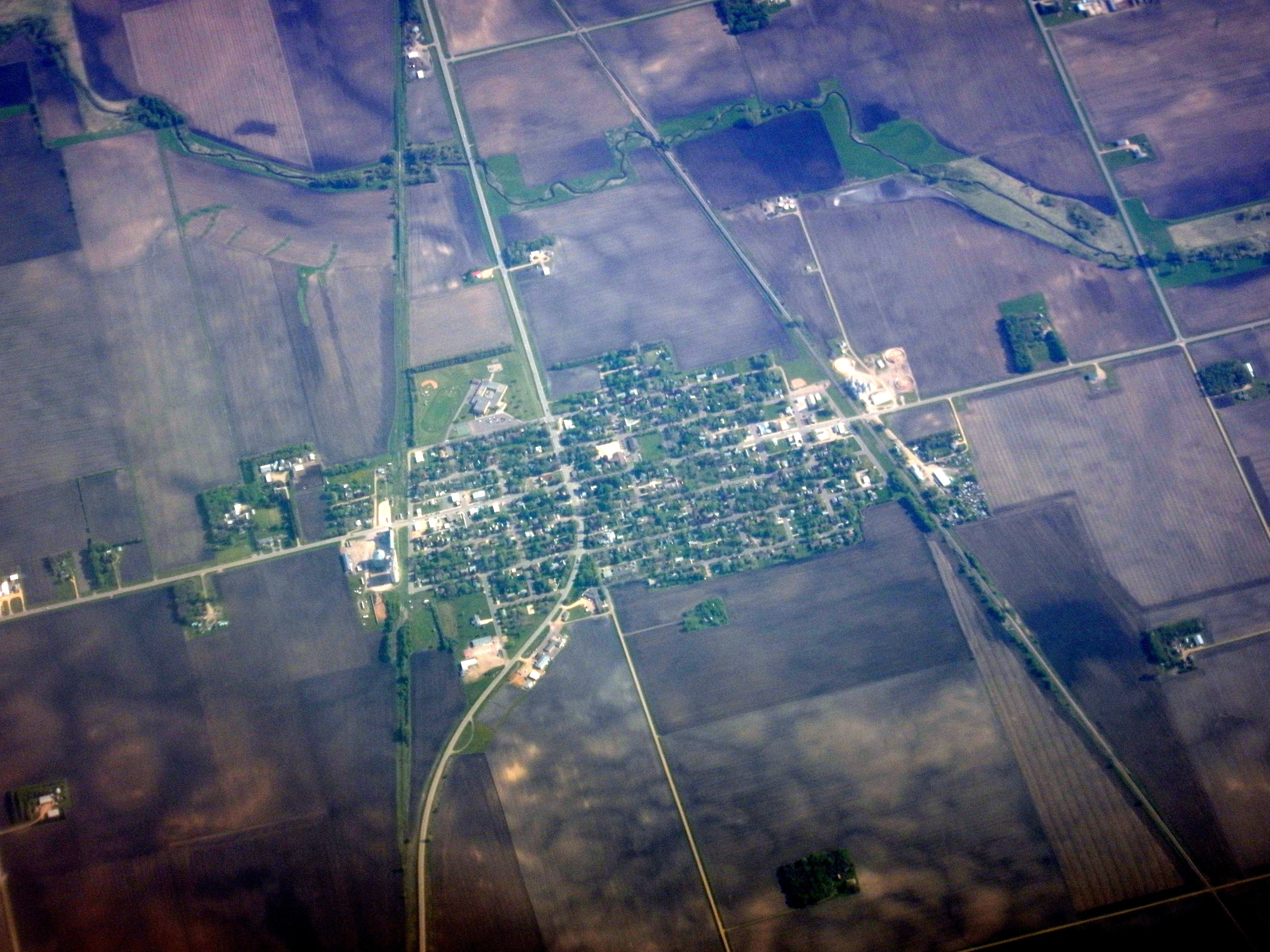
Satellite Map:
Related Photos:
Trimont, MN

Big GEs On Top

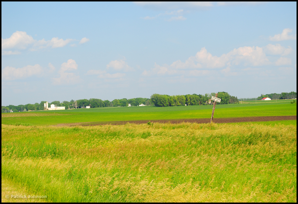
Wind, Prairie
STATION ONE MILE - Sherburn, MN
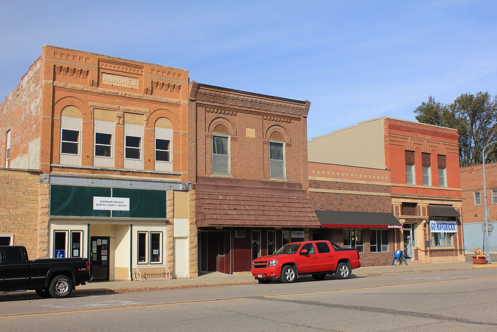
Downtown Buildings - Sherburn, MN
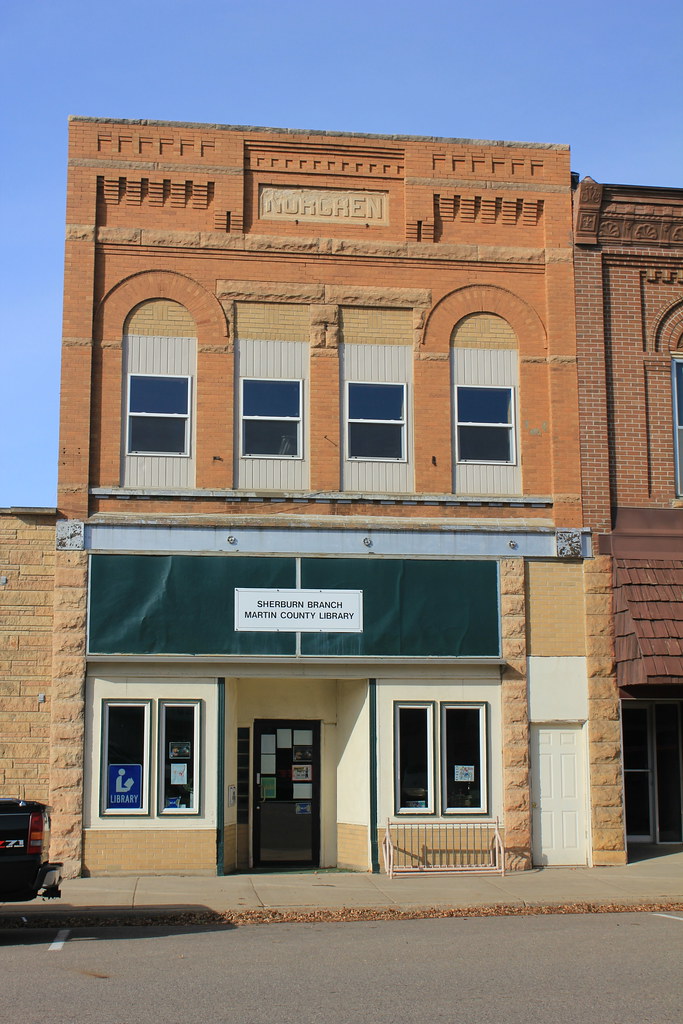
Norgren Building - Sherburn, MN
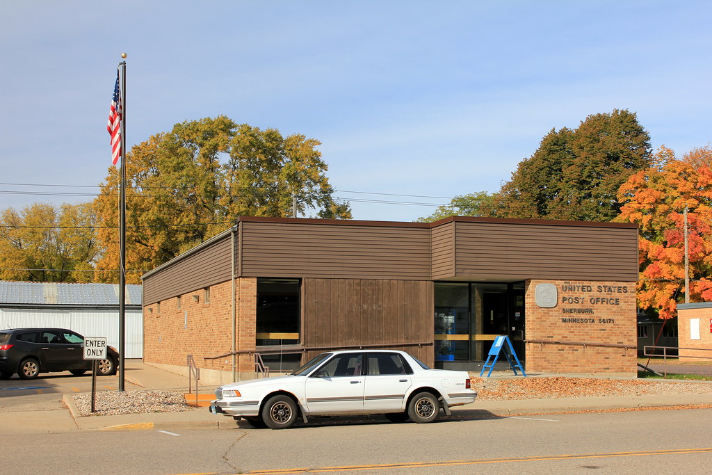
Post Office - Sherburn, MN
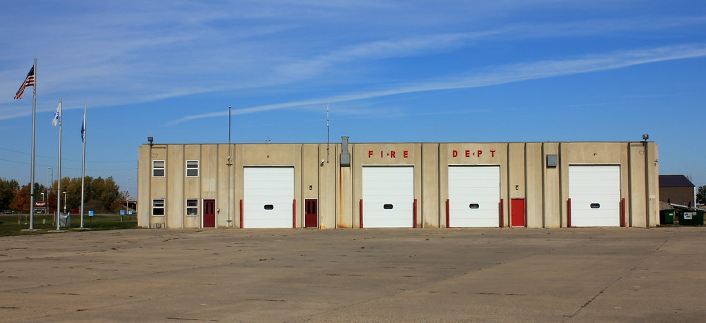
Fire Station - Sherburn, MN
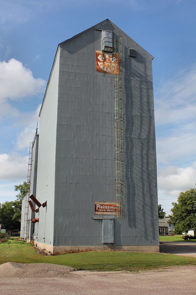
Farmers Cooperative Feed Mill - Sherburn, MN
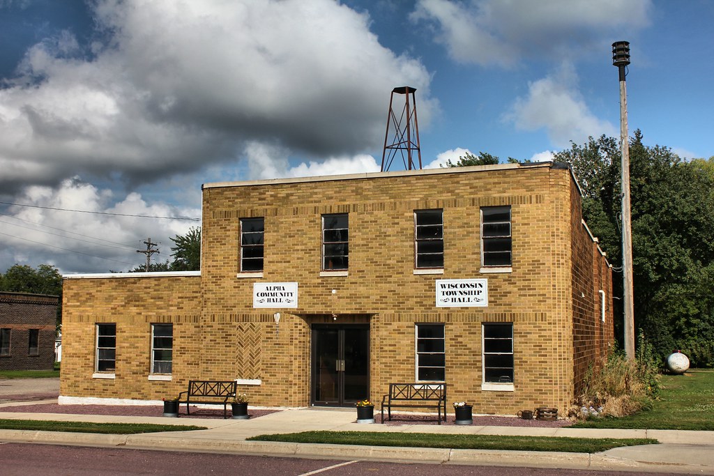
Alpha Community Hall - Alpha, MN

Independent Order of Odd Fellows

Sherburn Historic District

Sherburn Historic District

Sherburn Historic District
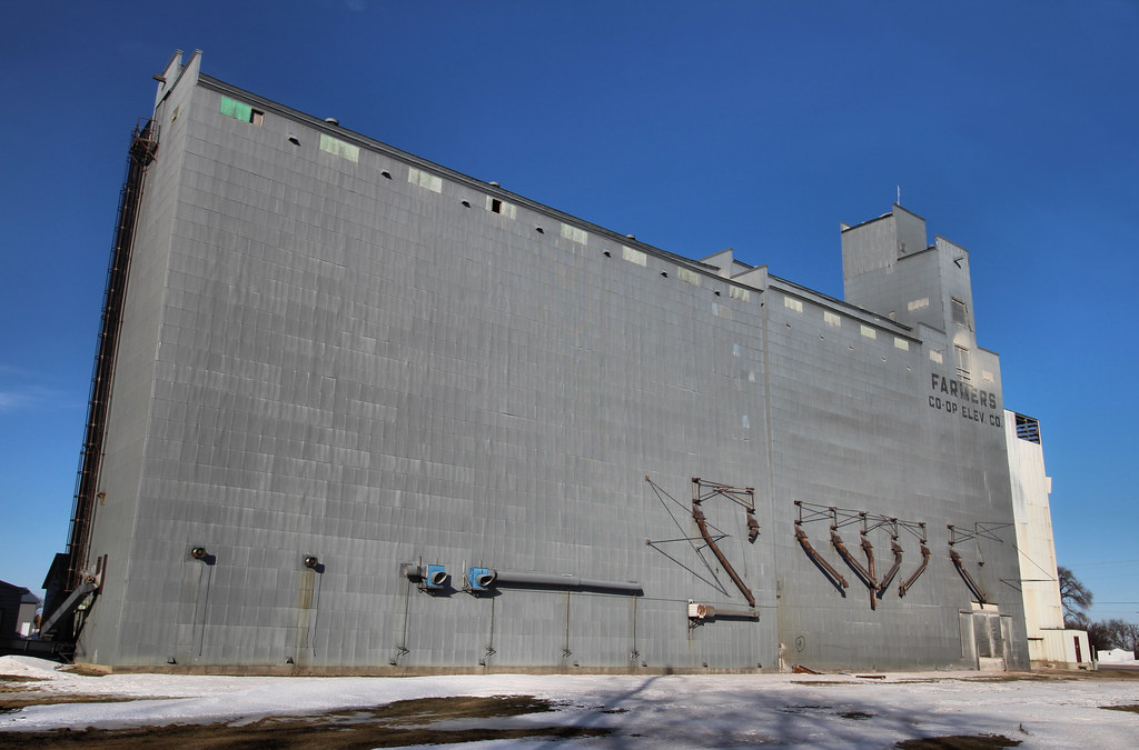
Farmers Co-Op Elevator - Trimont, MN
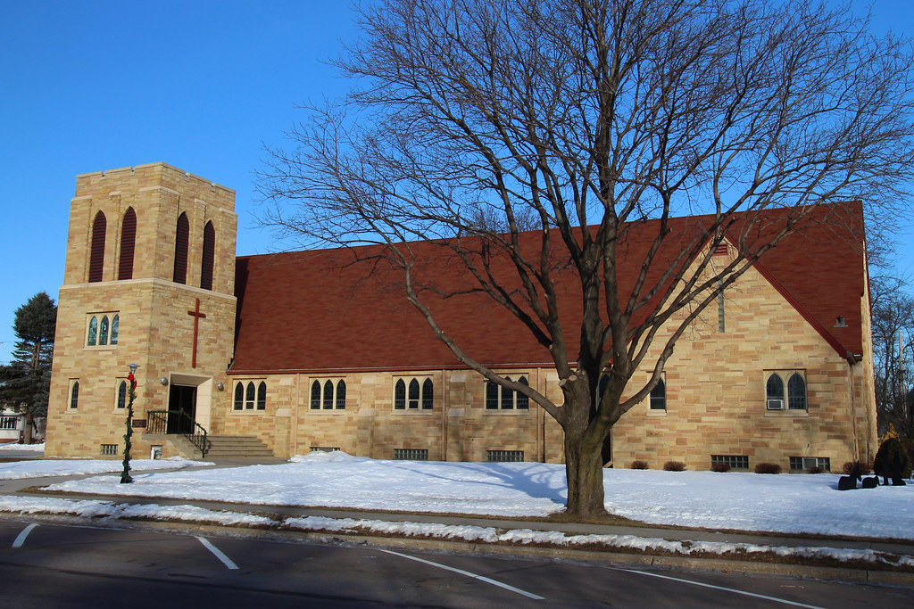
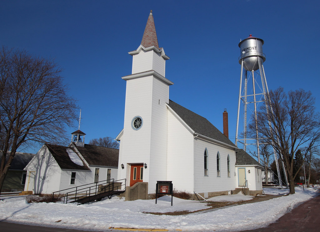
Trinity Lutheran Church - Trimont, MN
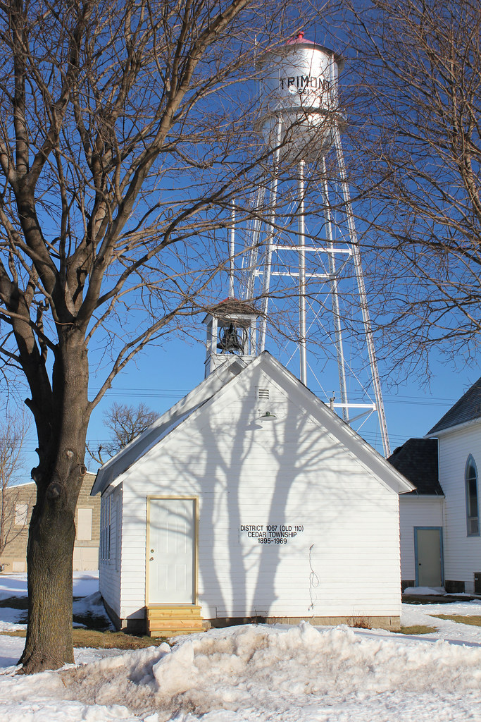
District 110 School - Trimont, MN
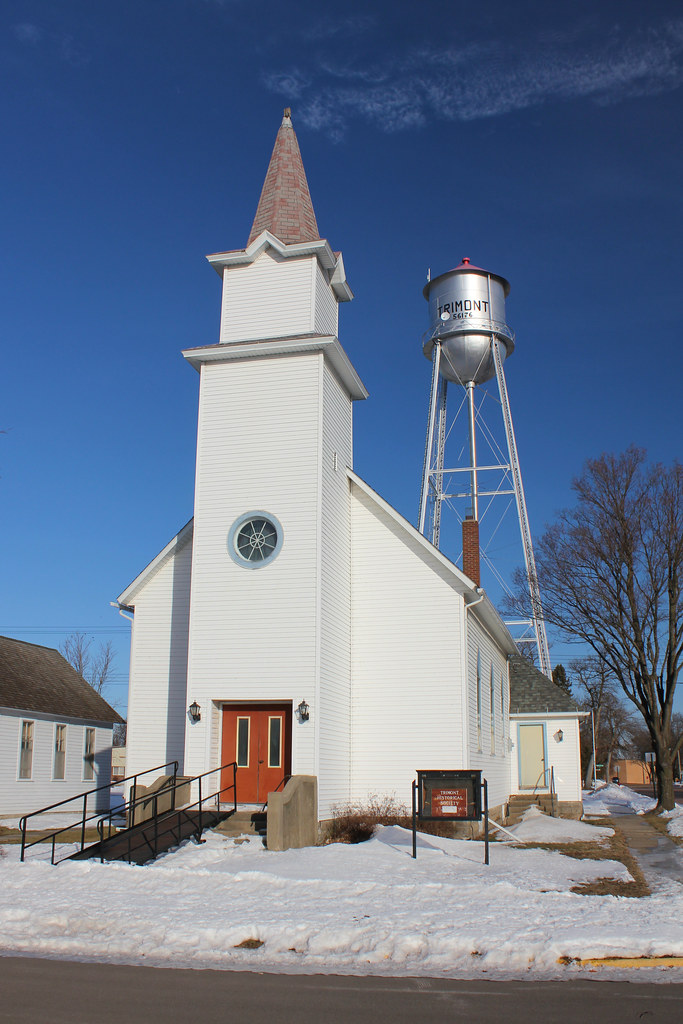
St. Joseph's Catholic Church (Former) - Trimont, MN
St. Joseph's Catholic Church (Former) - Trimont, MN
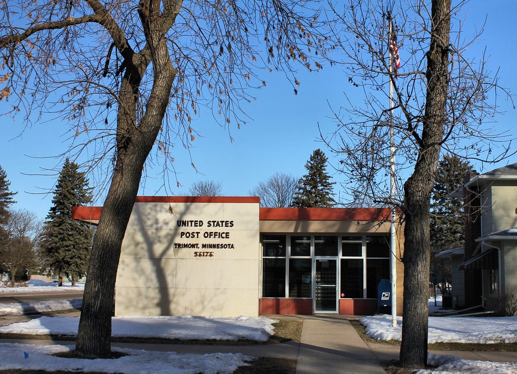
Post Office - Trimont, MN
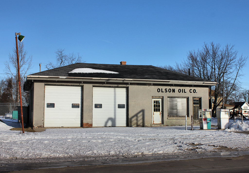
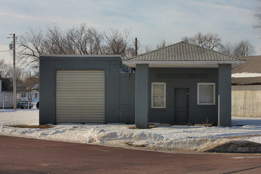
Olson Oil Co. - Trimont, MN
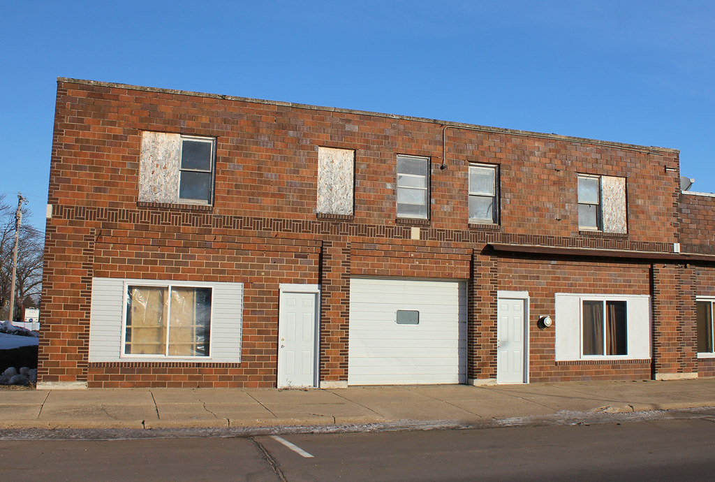
Downtown Building - Trimont, MN
Gas Station - Trimont, MN
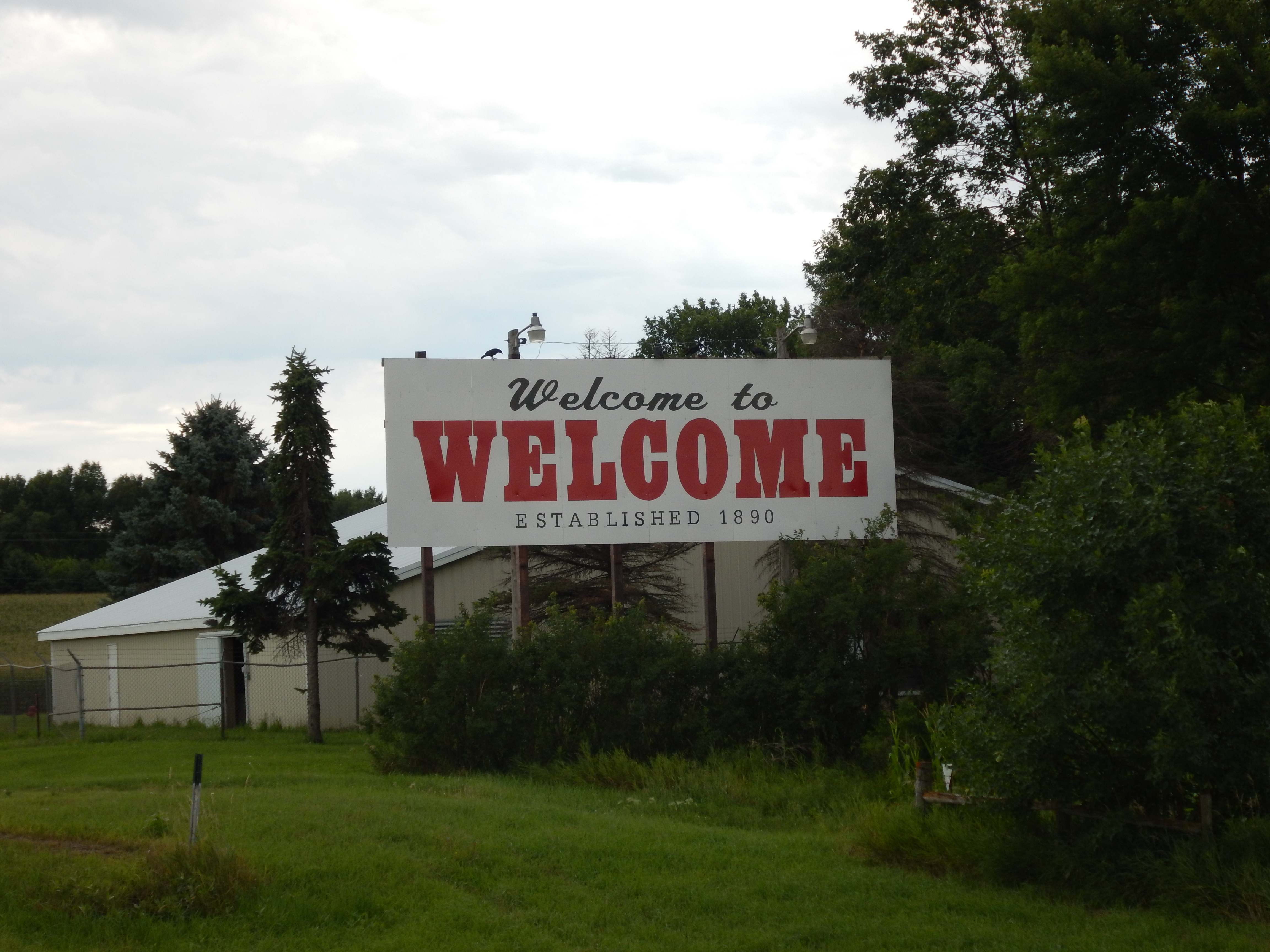
Welcome to Welcome
Topographic Map of Sherburn, MN, USA
Find elevation by address:

Places near Sherburn, MN, USA:
Jay Township
White Ave E, Alpha, MN, USA
Alpha
351 Ash St E
Trimont
560th Avenue
Main St, Ormsby, MN, USA
Odin
W Ashley St, Jackson, MN, USA
Jackson
Jackson Koa Journey
th St, Windom, MN, USA
Martin County
Christiania Township
1000 N State St
Peters Myrna
2 W Ken Rue Ln, Fairmont, MN, USA
Mountain Lake
10th St N, Mountain Lake, MN, USA
680th Avenue
Recent Searches:
- Elevation of Corso Fratelli Cairoli, 35, Macerata MC, Italy
- Elevation of Tallevast Rd, Sarasota, FL, USA
- Elevation of 4th St E, Sonoma, CA, USA
- Elevation of Black Hollow Rd, Pennsdale, PA, USA
- Elevation of Oakland Ave, Williamsport, PA, USA
- Elevation of Pedrógão Grande, Portugal
- Elevation of Klee Dr, Martinsburg, WV, USA
- Elevation of Via Roma, Pieranica CR, Italy
- Elevation of Tavkvetili Mountain, Georgia
- Elevation of Hartfords Bluff Cir, Mt Pleasant, SC, USA