Elevation of Shell Knob, MO, USA
Location: United States > Missouri > Barry County > Shell Knob Township >
Longitude: -93.617538
Latitude: 36.6088329
Elevation: 303m / 994feet
Barometric Pressure: 98KPa
Elevation Map:
Satellite Map:
Related Photos:
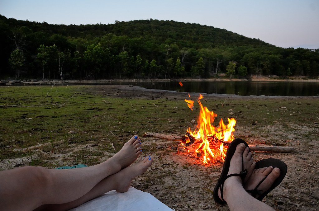
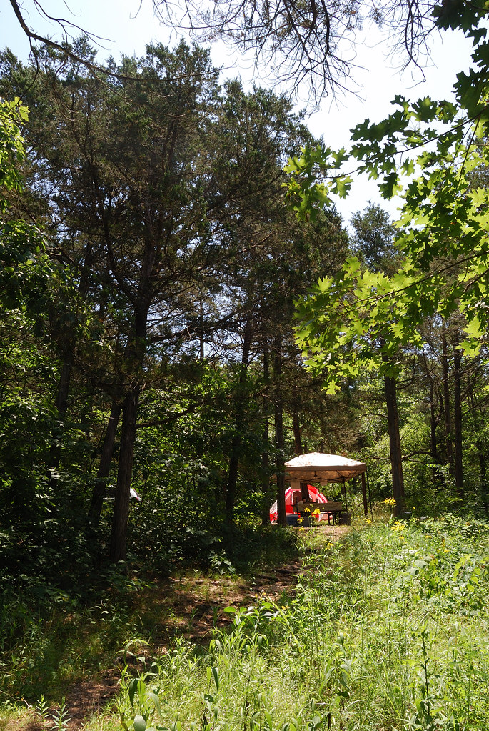
Piney Creek Wilderness - Campfire
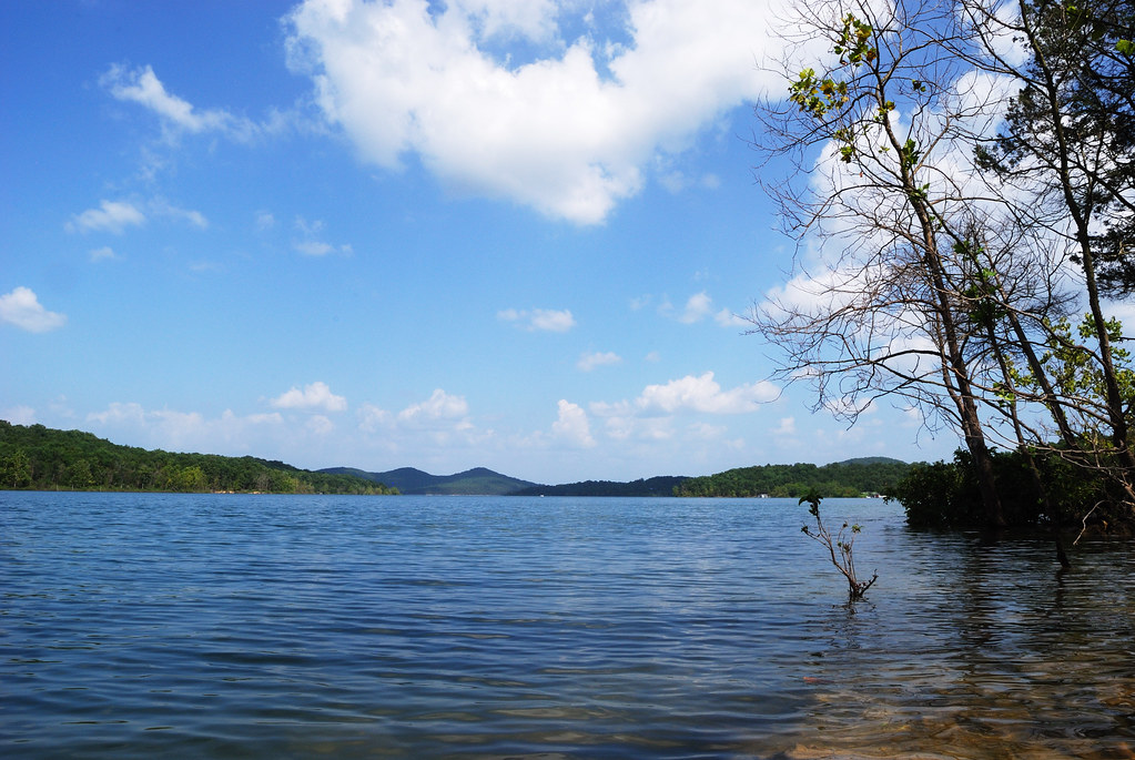
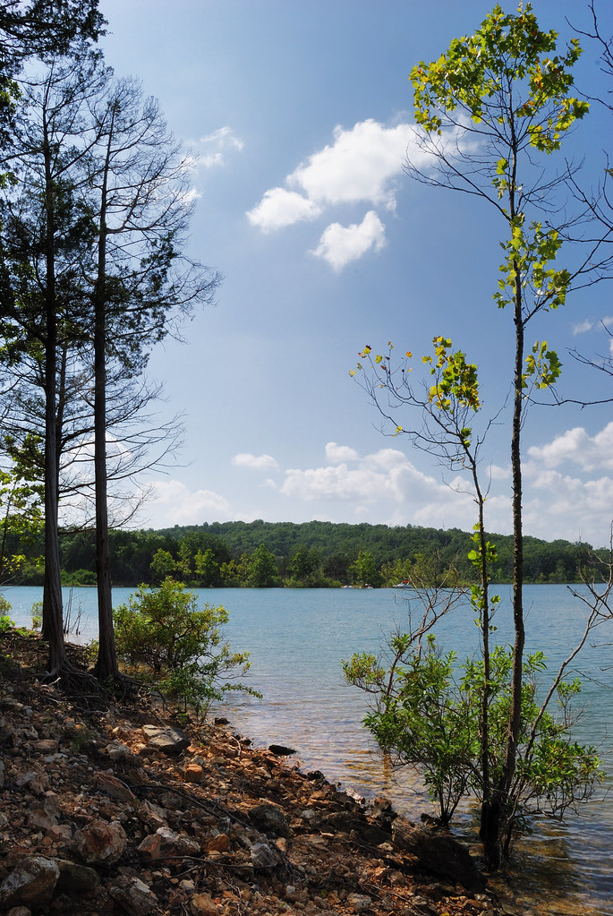
Table Rock Lake, Missouri

Big Bay Campground, Campsite No. 27 view to the east over Table Rock Lake
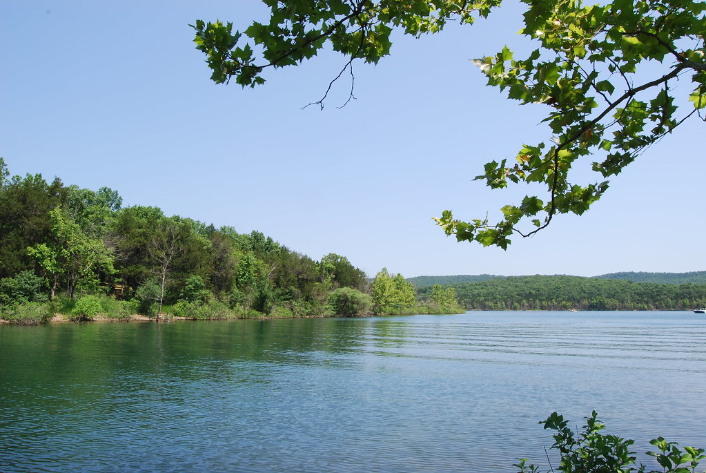
Table Rock Lake from Big Bay Campsite
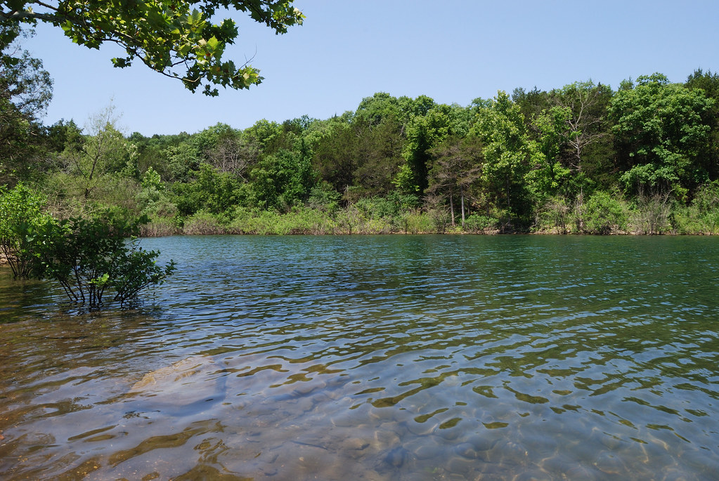
Table Rock Lake from Big Bay Campsite
Big Bay campground runs all around the ridge to the right.
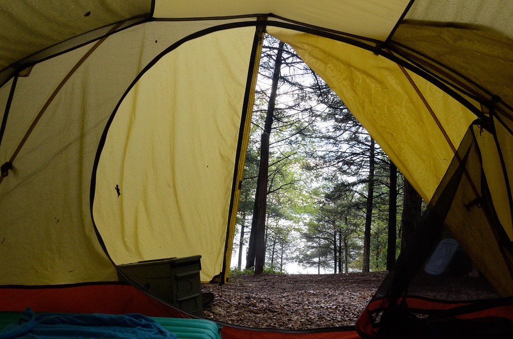
View from the Tent - Big Bay Campground
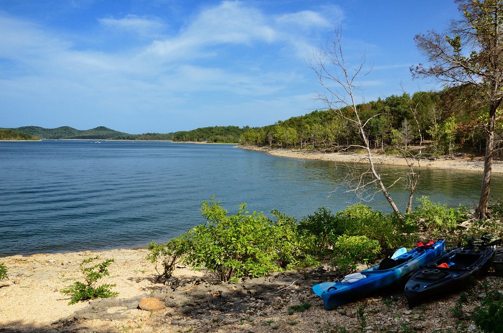
Big Bay Campground, Campsite #27 view to the east over Table Rock Lake

view from the house. our own personal lake area :)

Piney Creek Wilderness - Campfire
Big Bay Campground, Campsite #27 view to the east over Table Rock Lake
Looking up the hill
View from parent's lake house via iPhone 4
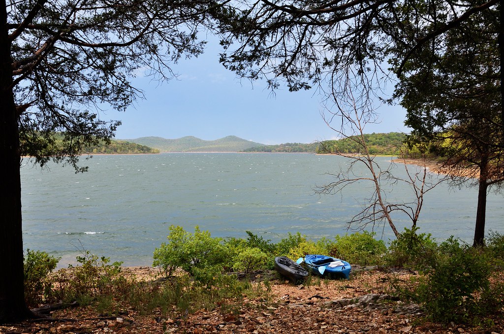
Big Bay Campground, Campsite No. 27 view to the east over Table Rock Lake
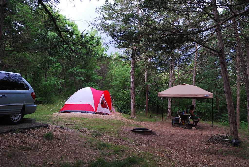
Camping at Big Bay Recreation Area area

Stonewater Cove Lodge
Path to the lakeside

Big Bay campground runs all around the ridge to the right.

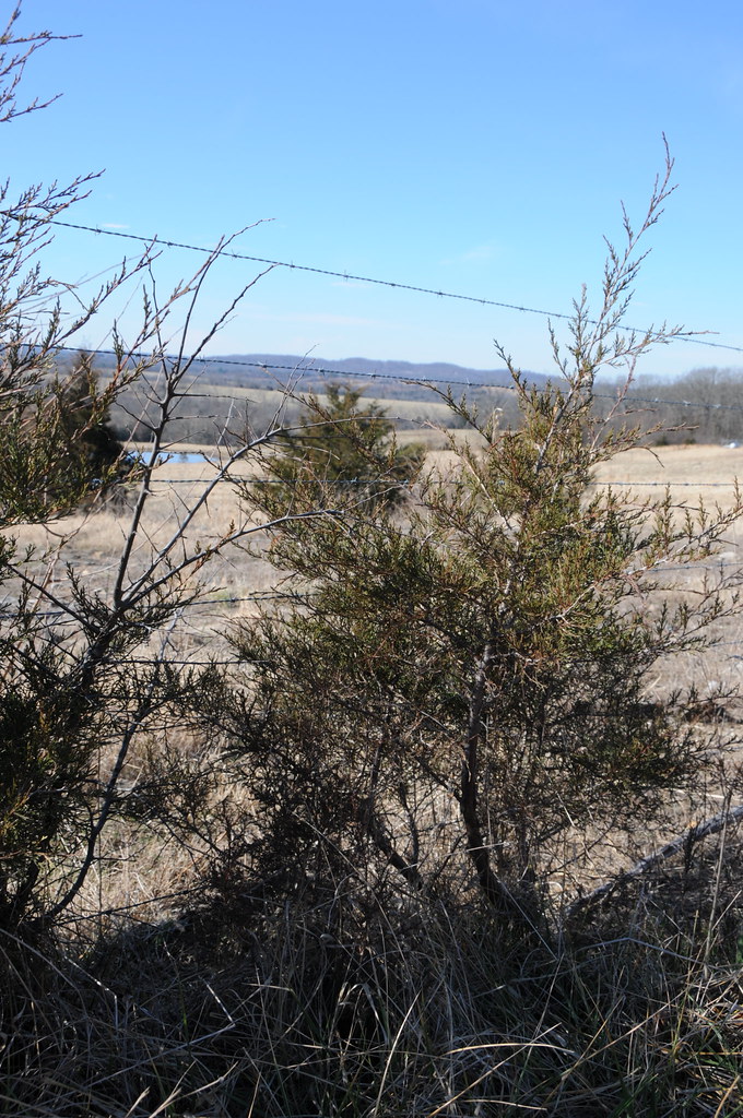
The rather inconspicuous (and unmarked) entrance to the Piney Creek Tower (Pine View) Trailhead
Tree with a View
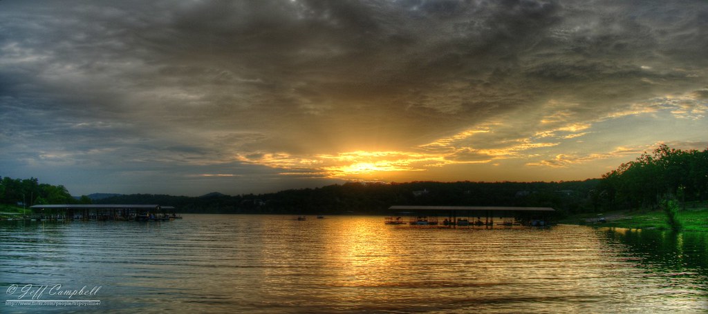
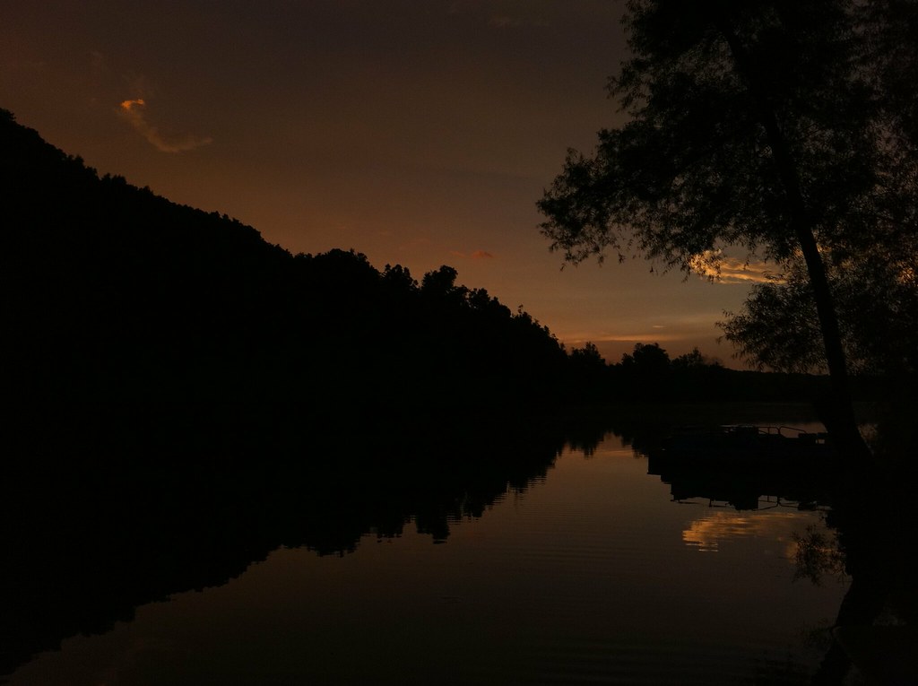
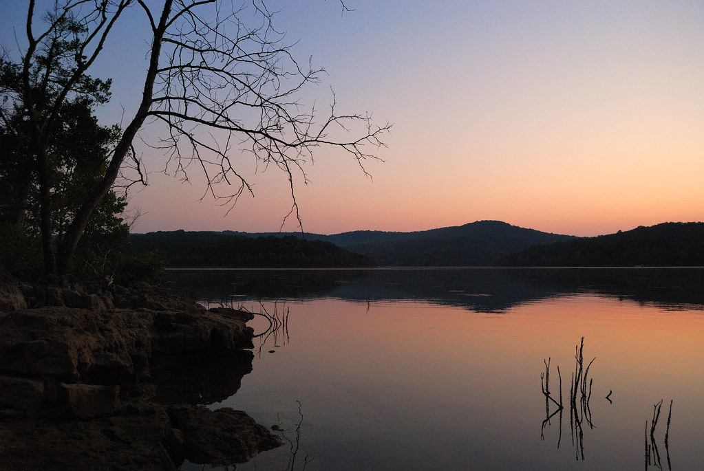
Sunset over Table Rock Lake
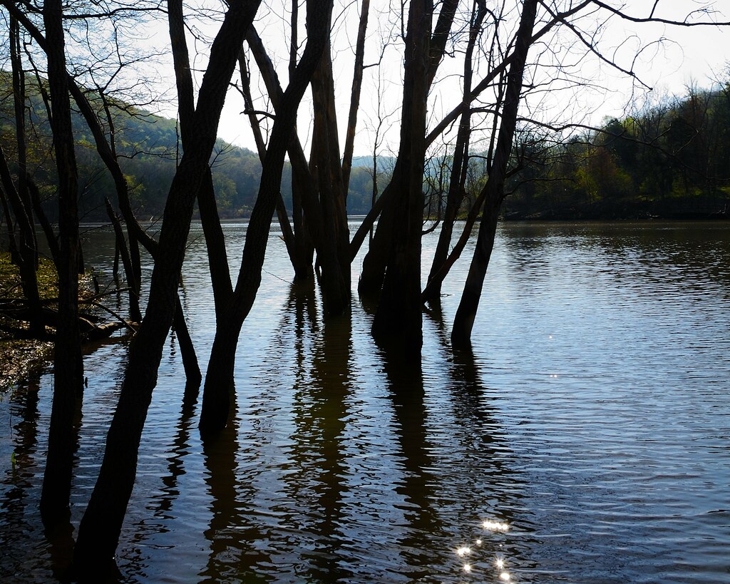
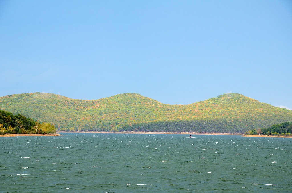
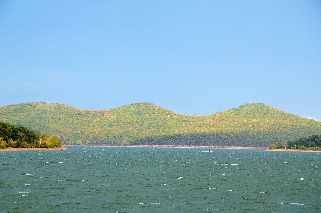
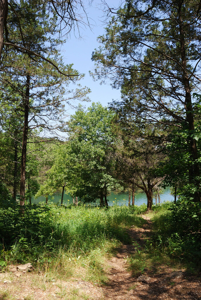
Table Rock Lake at Piney Creek Wilderness

Sunrise at Lake
Pre-dawn on Table Rock Lake at the Big Bay Recreation Area
Big Bay, Table Rock Lake, Missouri

Relaxing and fishing at Table Rock Lake
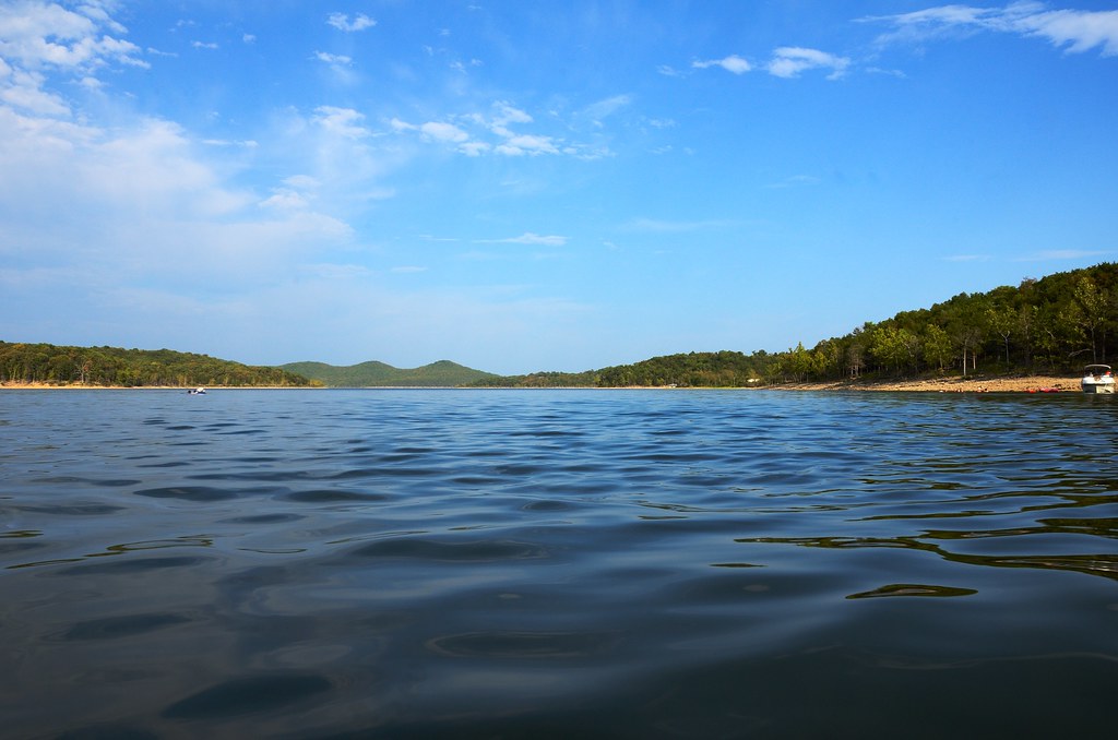
Table Rock Lake, Big Bay Campground
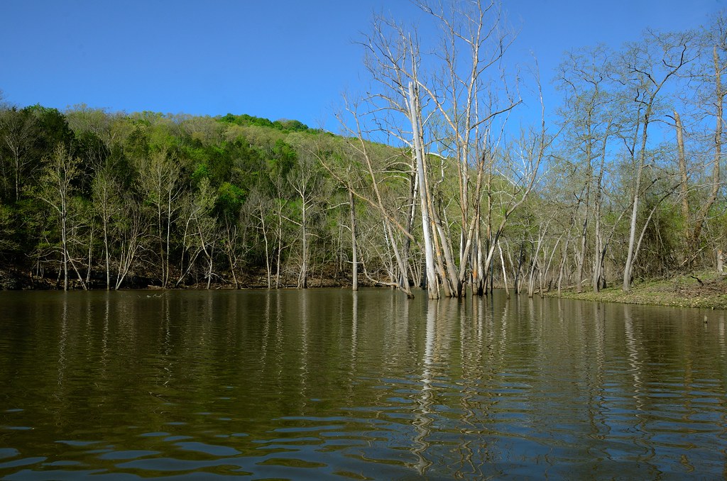
Table Rock Lake at Piney Creek Wilderness

Roaring River State Park

A Quick Drink

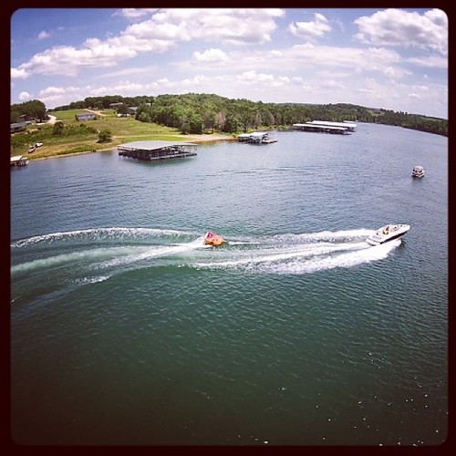
Big Bay at Table Rock Lake Missouri
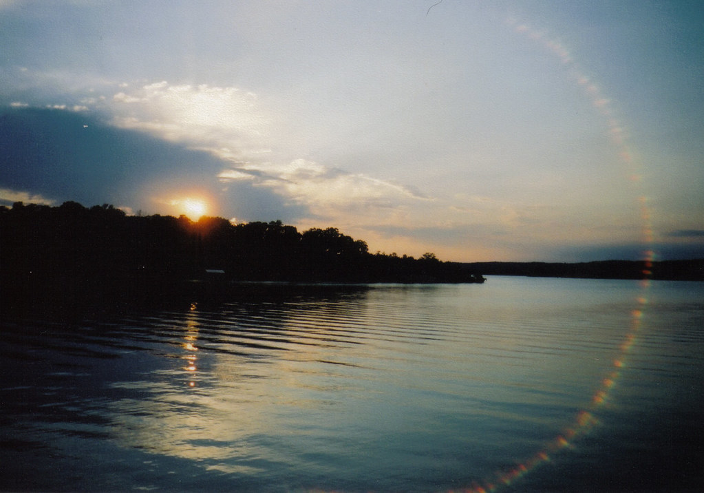
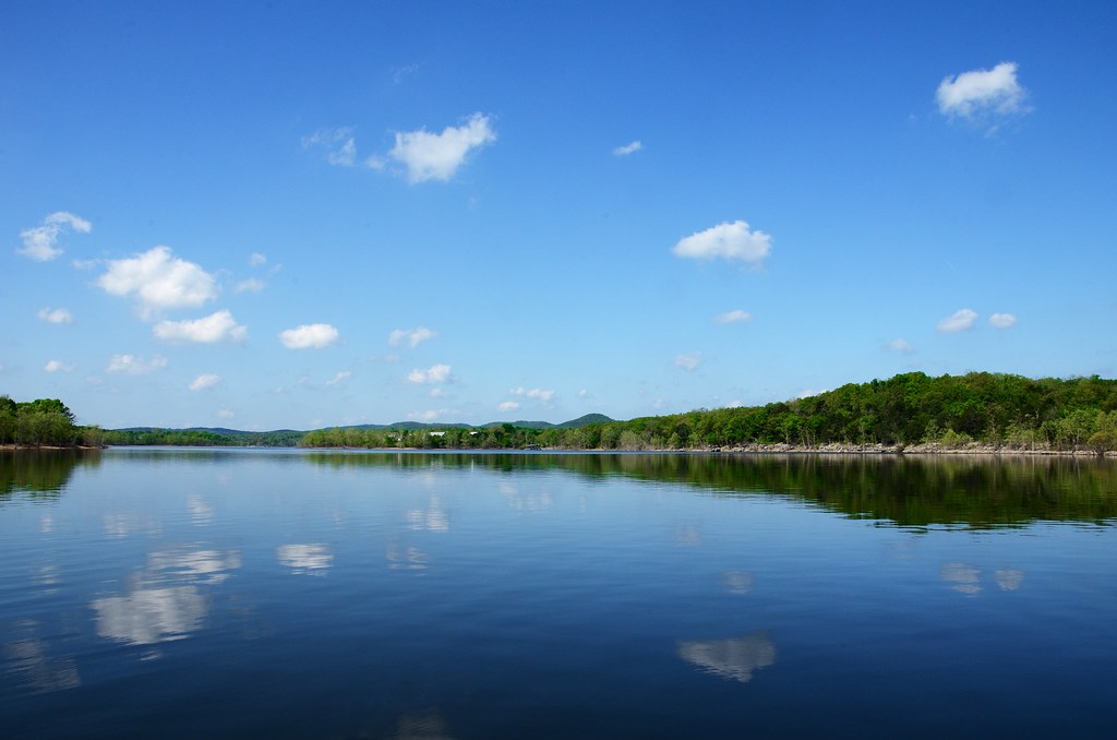
Table Rock Lake

Table Rock Lake at Piney Creek Wilderness

Big Bay at Table Rock Lake Missouri
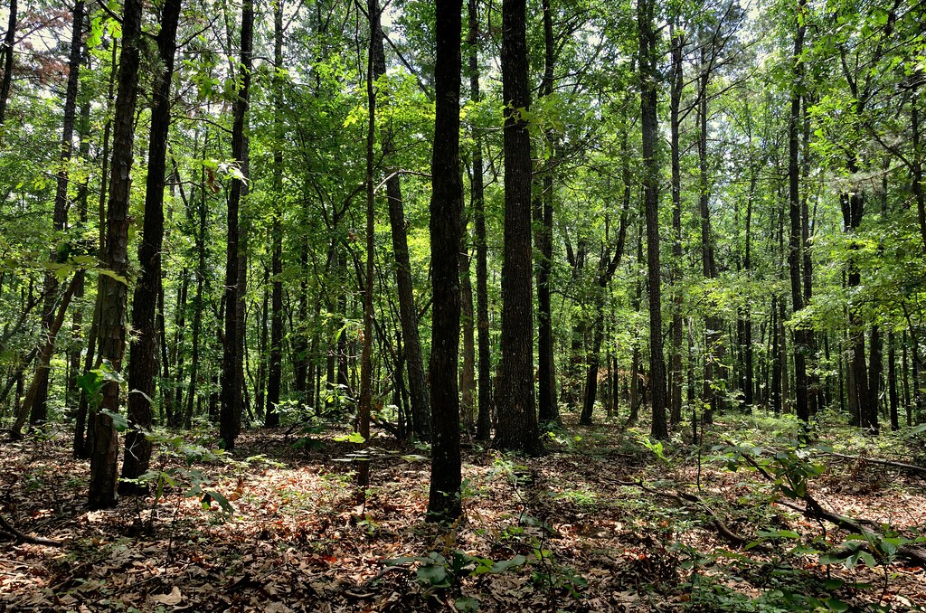
Piney Creek Wilderness - Off Tar Kiln Trail
Fishing on Table Rock Lake
Hard at work on this Friday afternoon... #dji #phantom
Topographic Map of Shell Knob, MO, USA
Find elevation by address:

Places in Shell Knob, MO, USA:
Places near Shell Knob, MO, USA:
Farm Road 1240
25075 Stallion Bluff Rd
MO-39, Shell Knob, MO, USA
Harbor Lane
389 16th St
Shell Knob Township
18557 Fr 1240
Cedar Falls Road
103 Rustic Ridge Dr
8556 Stallion Bluff Rd
Crystal Beach Circle
407 Eagles Point Ln
17164 Mo-39
282 Cool Water Cove Rd
Mineral Township
65 Cristin Ln
Roaring River Township
Eagle Rock Quarry
14093 Farm Rd 2200
Barry County
Recent Searches:
- Elevation of Corso Fratelli Cairoli, 35, Macerata MC, Italy
- Elevation of Tallevast Rd, Sarasota, FL, USA
- Elevation of 4th St E, Sonoma, CA, USA
- Elevation of Black Hollow Rd, Pennsdale, PA, USA
- Elevation of Oakland Ave, Williamsport, PA, USA
- Elevation of Pedrógão Grande, Portugal
- Elevation of Klee Dr, Martinsburg, WV, USA
- Elevation of Via Roma, Pieranica CR, Italy
- Elevation of Tavkvetili Mountain, Georgia
- Elevation of Hartfords Bluff Cir, Mt Pleasant, SC, USA