Elevation of Shell Creek Road, Shell Creek Rd, Minong, WI, USA
Location: United States > Wisconsin > Washburn County > Minong >
Longitude: -91.840544
Latitude: 46.107211
Elevation: 327m / 1073feet
Barometric Pressure: 97KPa
Elevation Map:
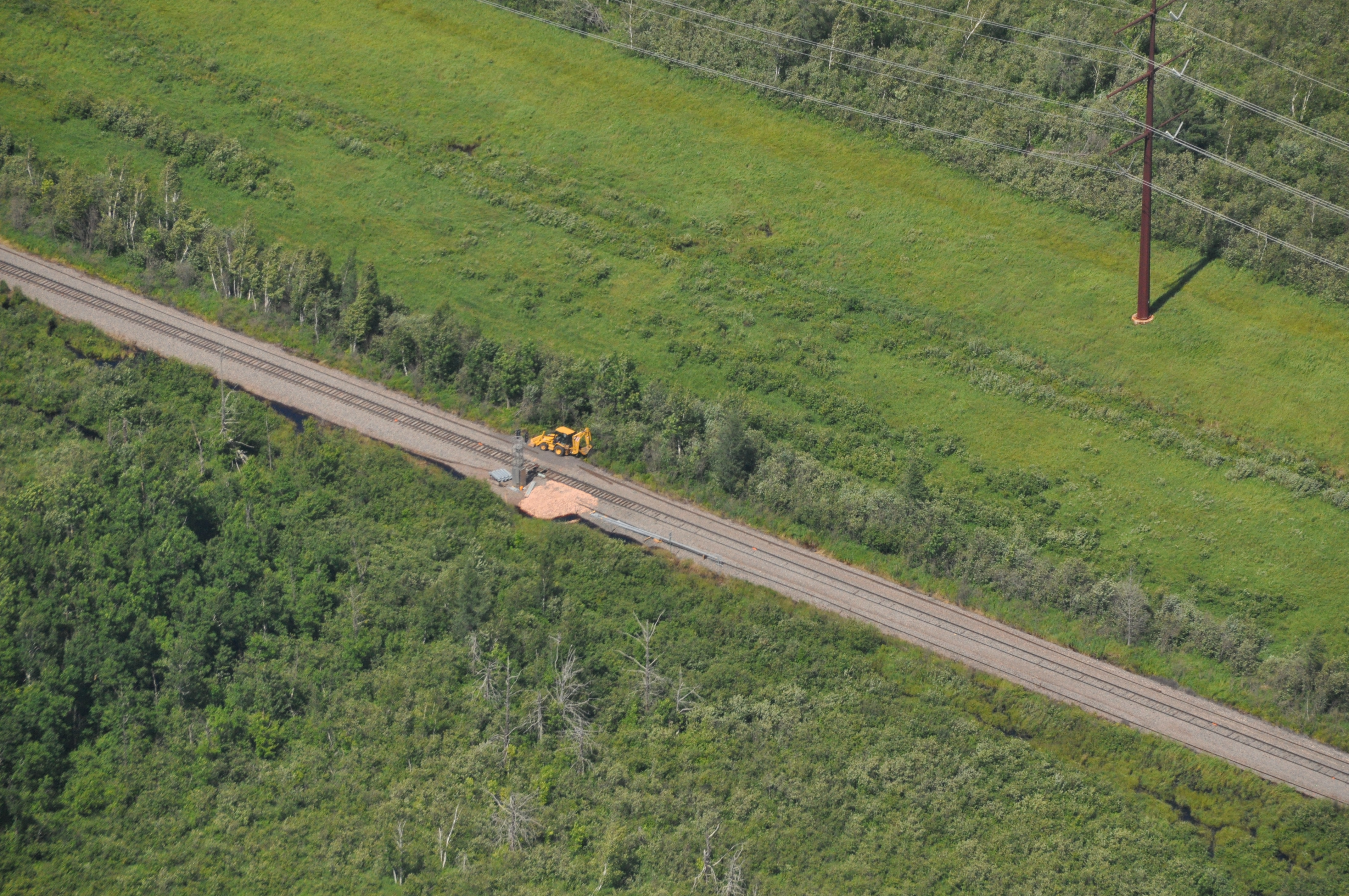
Satellite Map:
Related Photos:

Yard lakeside

Where the blueberries grow

Swing!

Camera Roll-259

All quiet and alone.

Clouds and sunsets.

Sunset at Camp

Pokegama Sunset.

DSC_6067.jpg

DSC_6046.jpg

CAP_1453_000accee-eb7d-4974-9a64-bc8b7e8bf43f
DSC_1183_3b41cd55-384c-41c0-9c93-03e7e2f61c4f

DSC_1192_bd080653-c5cb-4549-b973-b542f4c61a6b

DSC_1202_40467632-46ae-4add-875e-b03df87101ae
Topographic Map of Shell Creek Road, Shell Creek Rd, Minong, WI, USA
Find elevation by address:

Places near Shell Creek Road, Shell Creek Rd, Minong, WI, USA:
US-53, Minong, WI, USA
Minong
E Community Church Rd, Minong, WI, USA
Minong
Washburn County
Trego
Springbrook
W5662
Trego
W4484 Friday St
Springbrook
Douglas County
Crystal Mountain Road
E Nyquist Rd, Solon Springs, WI, USA
Crystal
Sykes Road
Scott
29273 Pine Knoll Ln
Great Bear Pass
Hayward
Recent Searches:
- Elevation of Corso Fratelli Cairoli, 35, Macerata MC, Italy
- Elevation of Tallevast Rd, Sarasota, FL, USA
- Elevation of 4th St E, Sonoma, CA, USA
- Elevation of Black Hollow Rd, Pennsdale, PA, USA
- Elevation of Oakland Ave, Williamsport, PA, USA
- Elevation of Pedrógão Grande, Portugal
- Elevation of Klee Dr, Martinsburg, WV, USA
- Elevation of Via Roma, Pieranica CR, Italy
- Elevation of Tavkvetili Mountain, Georgia
- Elevation of Hartfords Bluff Cir, Mt Pleasant, SC, USA