Elevation of Sheffield, South Yorkshire, UK
Location: United Kingdom > England > South Yorkshire > Sheffield District >
Longitude: -1.4700850
Latitude: 53.3811289
Elevation: 90m / 295feet
Barometric Pressure: 100KPa
Elevation Map:
Satellite Map:
Related Photos:
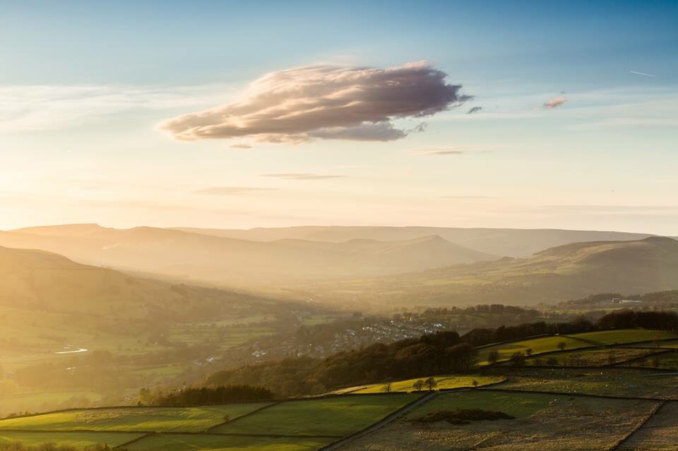
Just before sunset at te top of Surprise View

Overlooking Rotherham

A Few Ducks and Geese
Something for the weekend
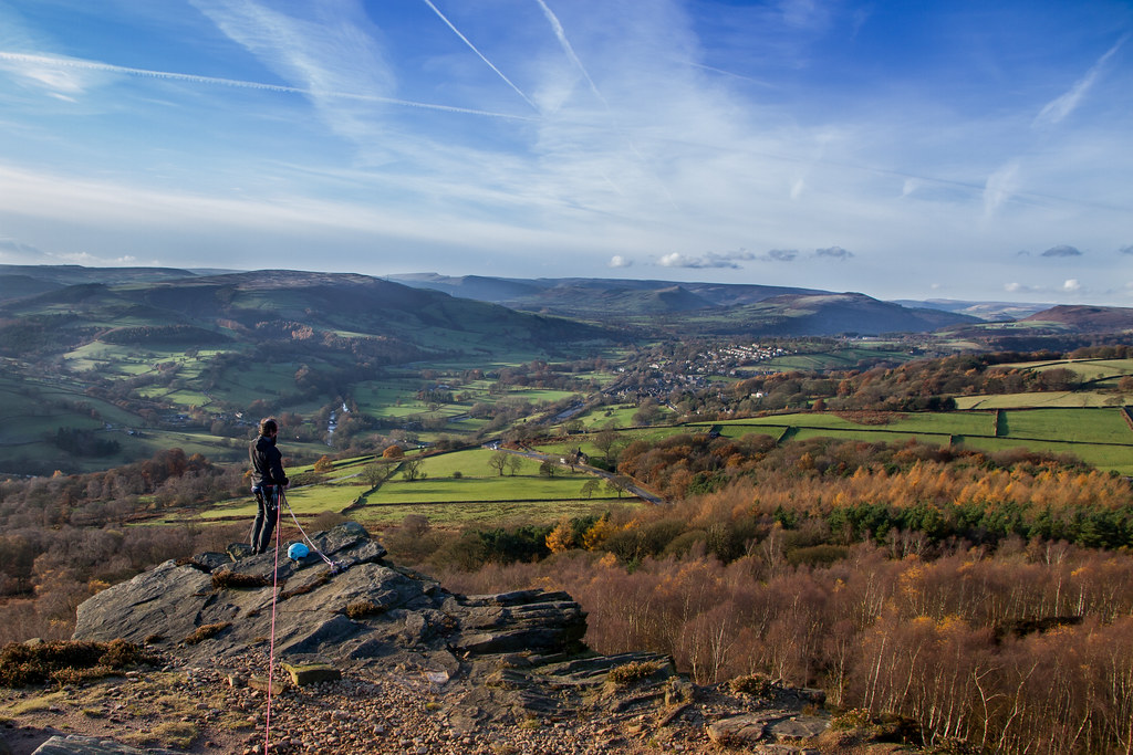
View from Over Owler Tor
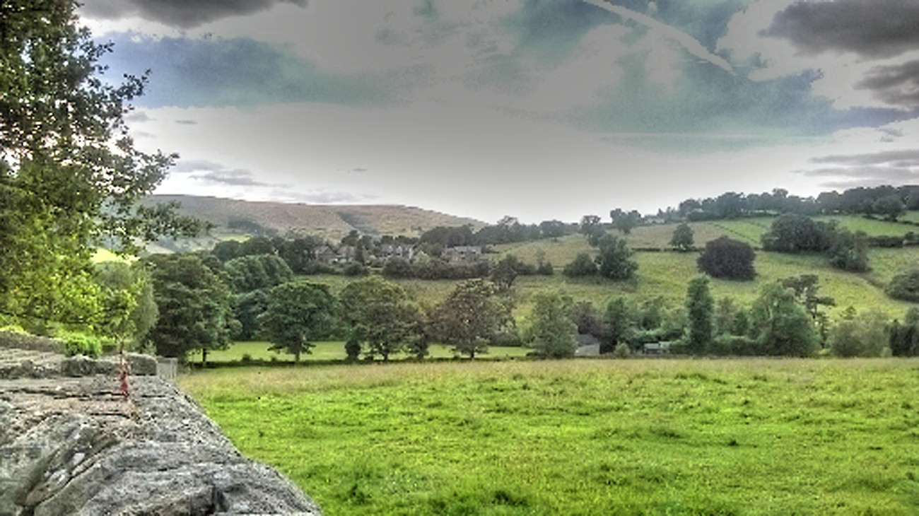
View from Hathersage
HIGH MOOR & KILLAMARSH, DERBYSHIRE_DSC_6913_LR.60
View from the Grouse Inn, Longshaw
Rivelin Needle Sheffield

Wentworth Landscape

View over Yonder
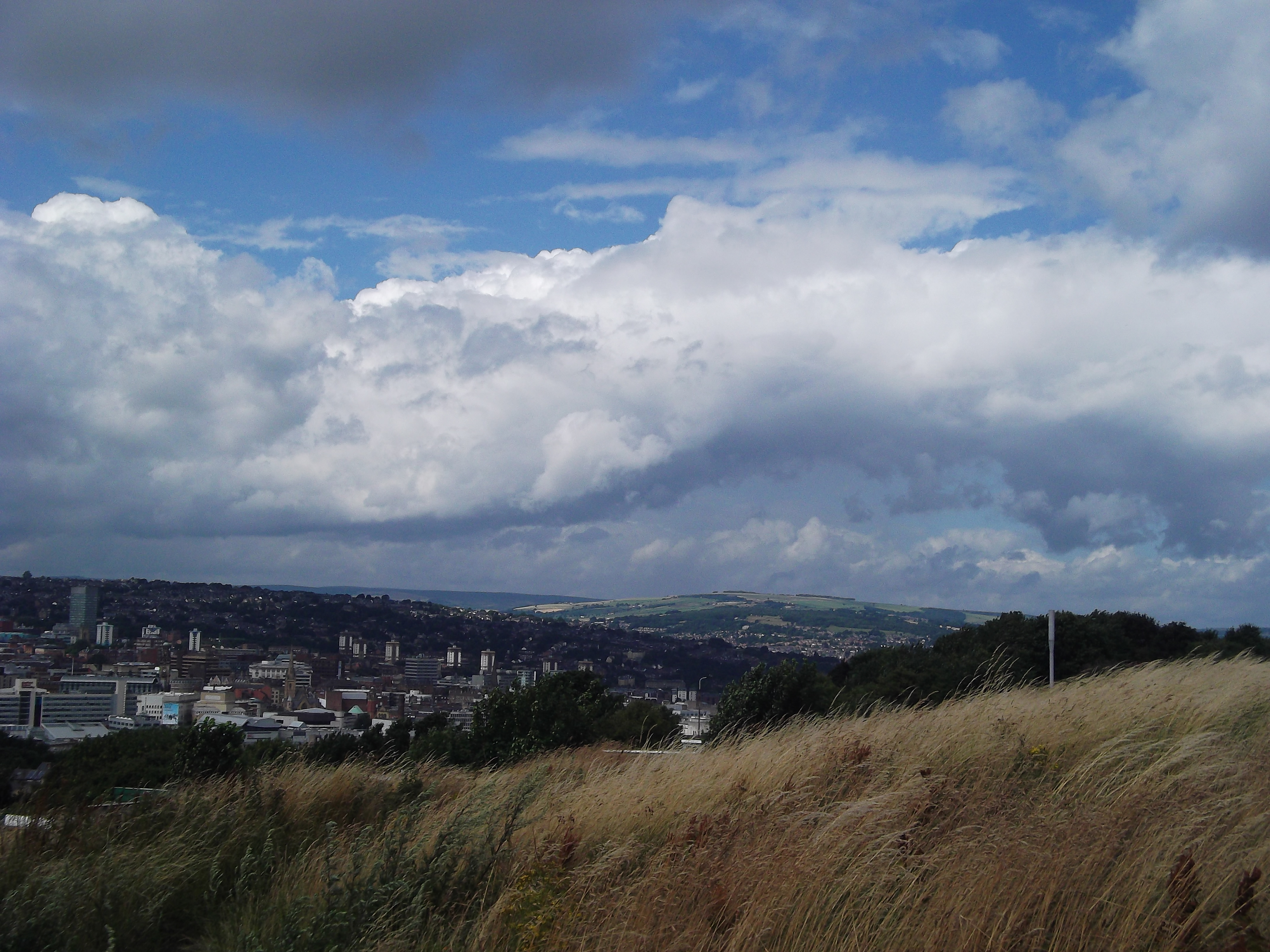
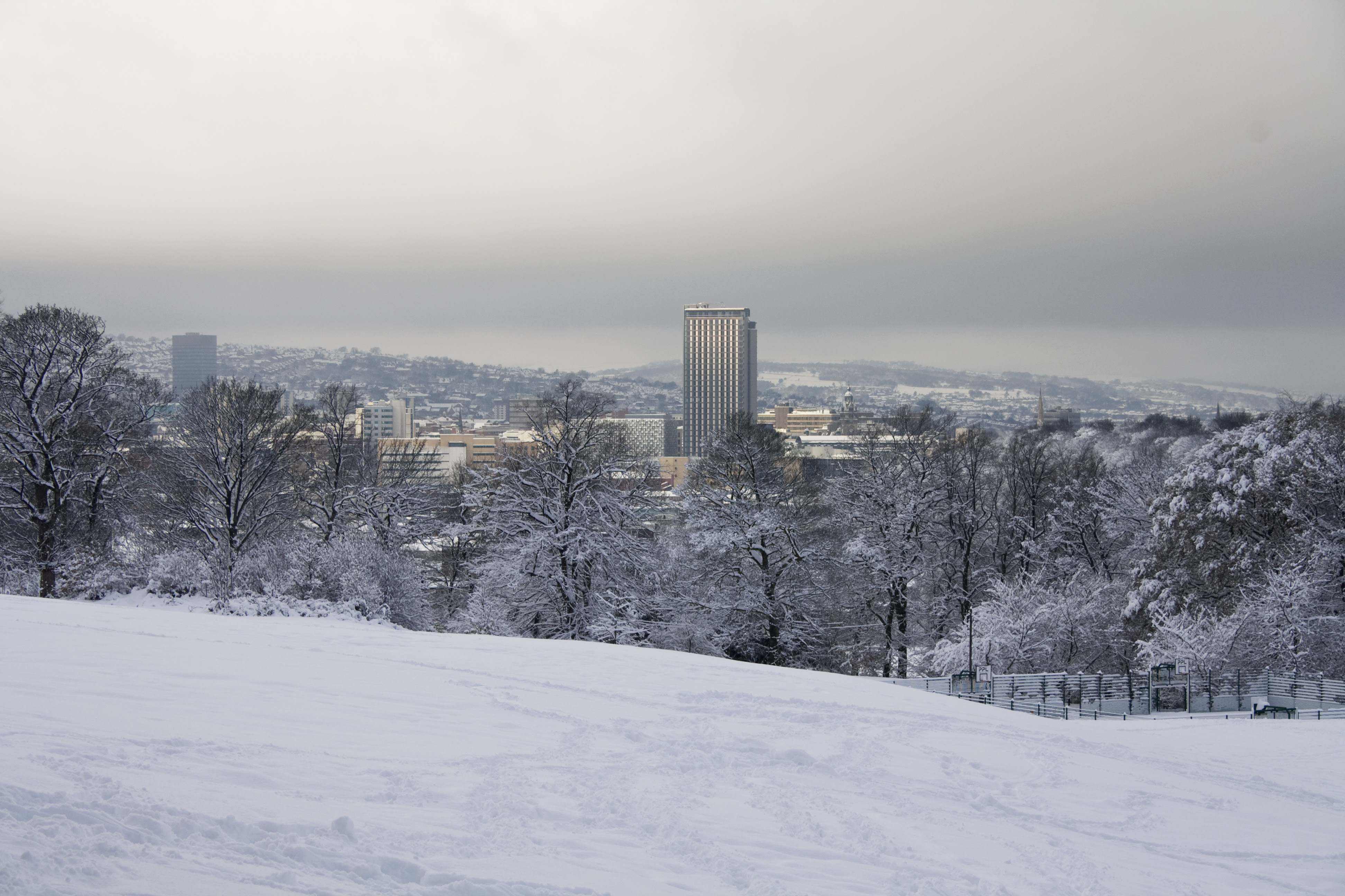
Sheffield viewed from Skyedge

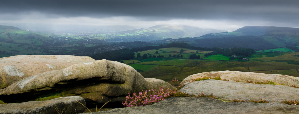
Curbar Edge #2

Way Down

The Day After
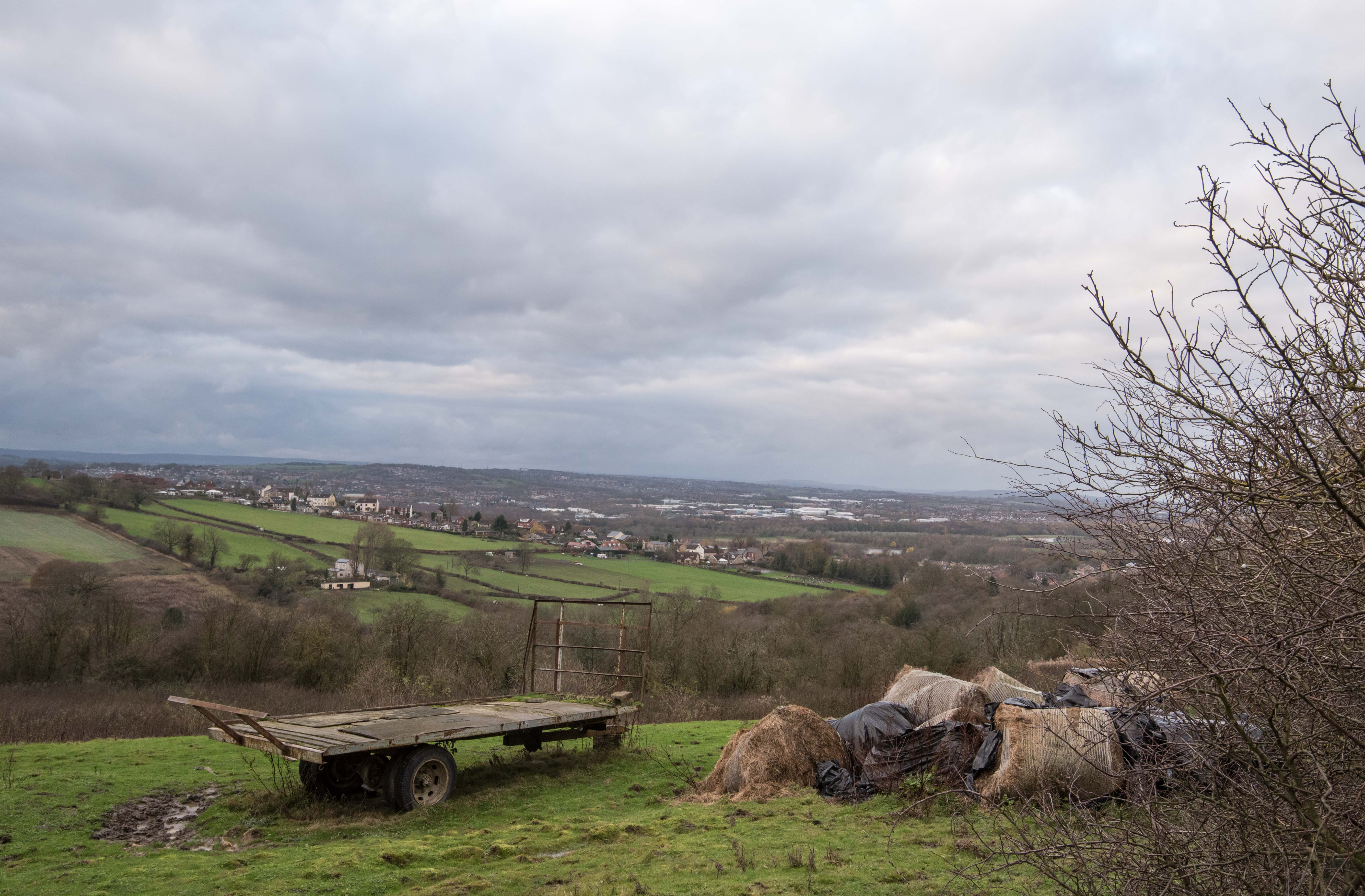
Sheffield, a view from Nolfork Park

Down to The Third Dam

Curbar Edge #4

Peak district landscape

Cubar Edge #5

Curbar Edge #6
Topographic Map of Sheffield, South Yorkshire, UK
Find elevation by address:

Places in Sheffield, South Yorkshire, UK:
Stannington
79 Greystones Dr, Sheffield S11 7JS, UK
30 Crispin Dr, Sheffield S12 2NE, UK
3 Maple Croft Rd, Sheffield S9 1DP, UK
Attercliffe Rd, Sheffield S9 3QP, UK
46 Rosamond Ave, Sheffield S17 4LT, UK
Queen Mary Rd, Sheffield S2 1HX, UK
397a
232-236
26 Cross Dr, Sheffield S13 7LT, UK
S1 1aa
Burngreave
S6 1fe
Places near Sheffield, South Yorkshire, UK:
Pinstone Street
Sheffield City Centre
Howard Street
West Street
S1 1wb
S3 7ah
S1 1aa
Bramall Lane
Bramall Lane
Bramall Lane
Highfield
S11 8al
Burngreave
Bolsover Street
Arts Tower
Dart Square
Dart Square
S10 2tn
Sharrow
S7 1hb
Recent Searches:
- Elevation of Corso Fratelli Cairoli, 35, Macerata MC, Italy
- Elevation of Tallevast Rd, Sarasota, FL, USA
- Elevation of 4th St E, Sonoma, CA, USA
- Elevation of Black Hollow Rd, Pennsdale, PA, USA
- Elevation of Oakland Ave, Williamsport, PA, USA
- Elevation of Pedrógão Grande, Portugal
- Elevation of Klee Dr, Martinsburg, WV, USA
- Elevation of Via Roma, Pieranica CR, Italy
- Elevation of Tavkvetili Mountain, Georgia
- Elevation of Hartfords Bluff Cir, Mt Pleasant, SC, USA