Elevation of Sheep Mountain, Wyoming, USA
Location: United States > Wyoming > Albany County > Laramie >
Longitude: -106.0005618
Latitude: 41.2066406
Elevation: 2708m / 8884feet
Barometric Pressure: 0KPa
Related Photos:
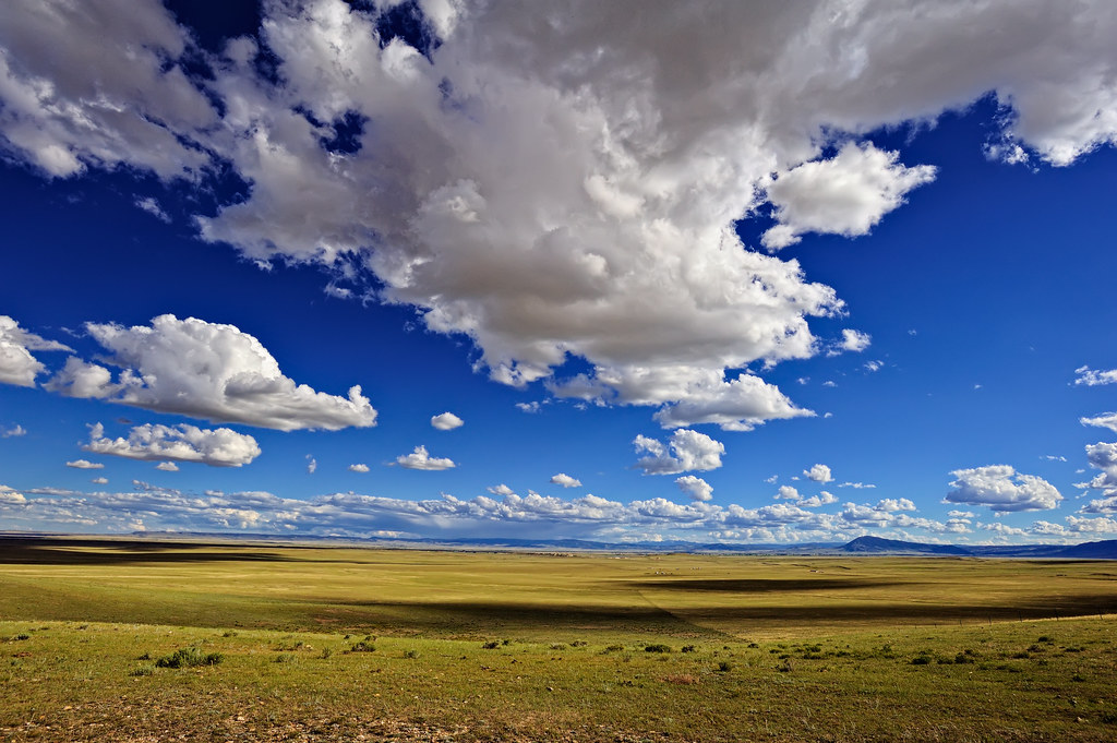
Welcome to the Wide Open West!
Topographic Map of Sheep Mountain, Wyoming, USA
Find elevation by address:

Places near Sheep Mountain, Wyoming, USA:
Sheep Mountain North
Woods Landing-jelm
694 Fox Creek Rd
Vee Bar Ranch Road
57 Wy-10
Jelm Mountain
7 Forest Rd 540
1148 Wy-11
1148 Wy-11
Albany
Harmony
Lake Mountain
Ring Mountain
Mountain View Historic Hotel & Cafe
2758 Wy-130
Centennial
Muddy Mountain
129 E North Fork Rd
Centennial Ridge
Foxpark
Recent Searches:
- Elevation map of Greenland, Greenland
- Elevation of Sullivan Hill, New York, New York, 10002, USA
- Elevation of Morehead Road, Withrow Downs, Charlotte, Mecklenburg County, North Carolina, 28262, USA
- Elevation of 2800, Morehead Road, Withrow Downs, Charlotte, Mecklenburg County, North Carolina, 28262, USA
- Elevation of Yangbi Yi Autonomous County, Yunnan, China
- Elevation of Pingpo, Yangbi Yi Autonomous County, Yunnan, China
- Elevation of Mount Malong, Pingpo, Yangbi Yi Autonomous County, Yunnan, China
- Elevation map of Yongping County, Yunnan, China
- Elevation of North 8th Street, Palatka, Putnam County, Florida, 32177, USA
- Elevation of 107, Big Apple Road, East Palatka, Putnam County, Florida, 32131, USA
- Elevation of Jiezi, Chongzhou City, Sichuan, China
- Elevation of Chongzhou City, Sichuan, China
- Elevation of Huaiyuan, Chongzhou City, Sichuan, China
- Elevation of Qingxia, Chengdu, Sichuan, China
- Elevation of Corso Fratelli Cairoli, 35, Macerata MC, Italy
- Elevation of Tallevast Rd, Sarasota, FL, USA
- Elevation of 4th St E, Sonoma, CA, USA
- Elevation of Black Hollow Rd, Pennsdale, PA, USA
- Elevation of Oakland Ave, Williamsport, PA, USA
- Elevation of Pedrógão Grande, Portugal