Elevation map of Shebalinsky District, Altai Republic, Russia
Location: Russia > Altai Republic >
Longitude: 85.4002911
Latitude: 51.3589851
Elevation: 1454m / 4770feet
Barometric Pressure: 85KPa
Elevation Map:
Satellite Map:
Related Photos:

The village of Arbaita surroundings

The village of Arbaita surroundings

2016-04-30 10.57.49

2016-04-30 11.07.55

2016-04-30 11.07.16

2016-04-30 16.51.28

2016-04-30 16.51.21

2016-04-30 10.57.47

2016-04-30 10.57.41

Pump house
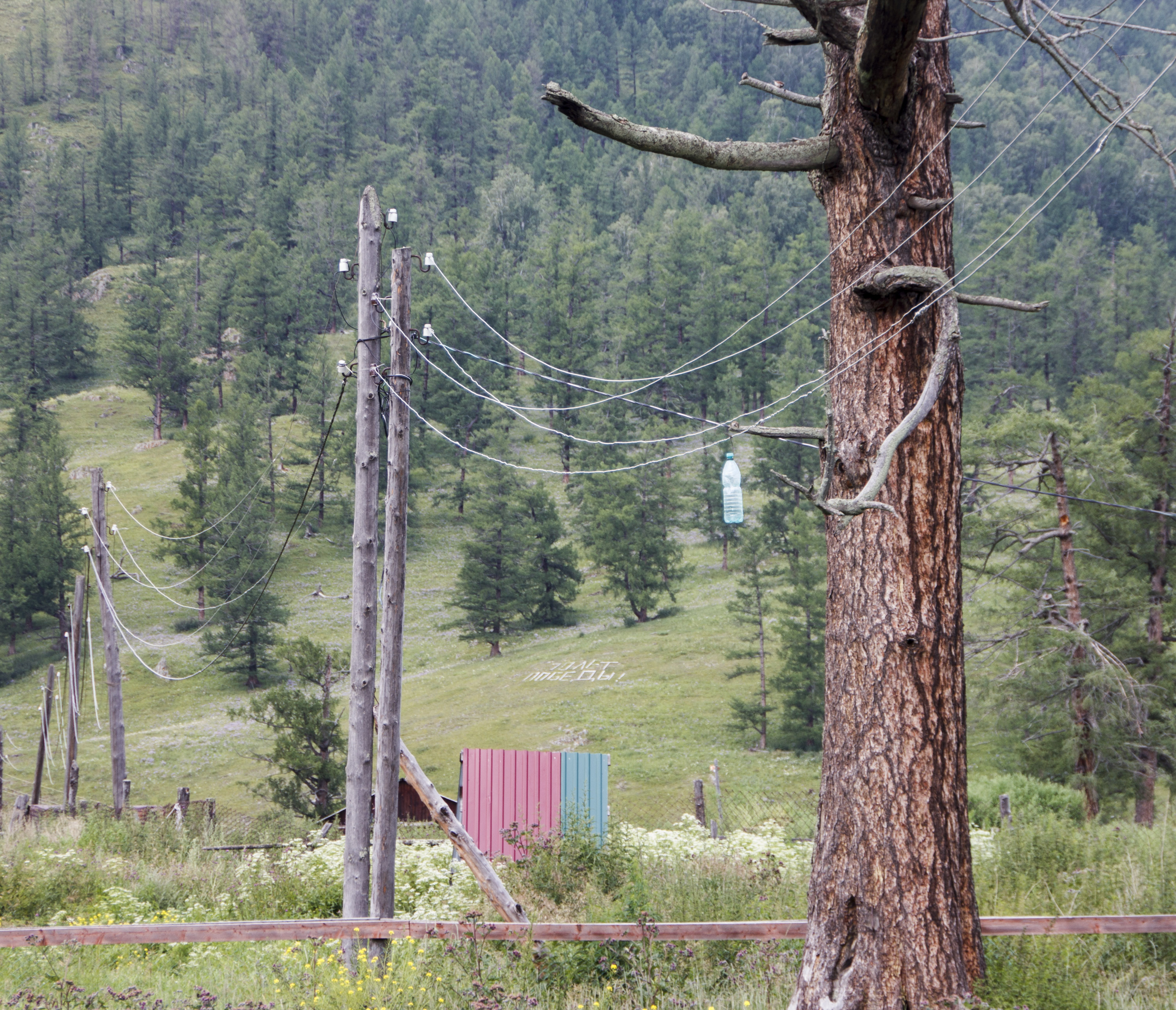
Power line
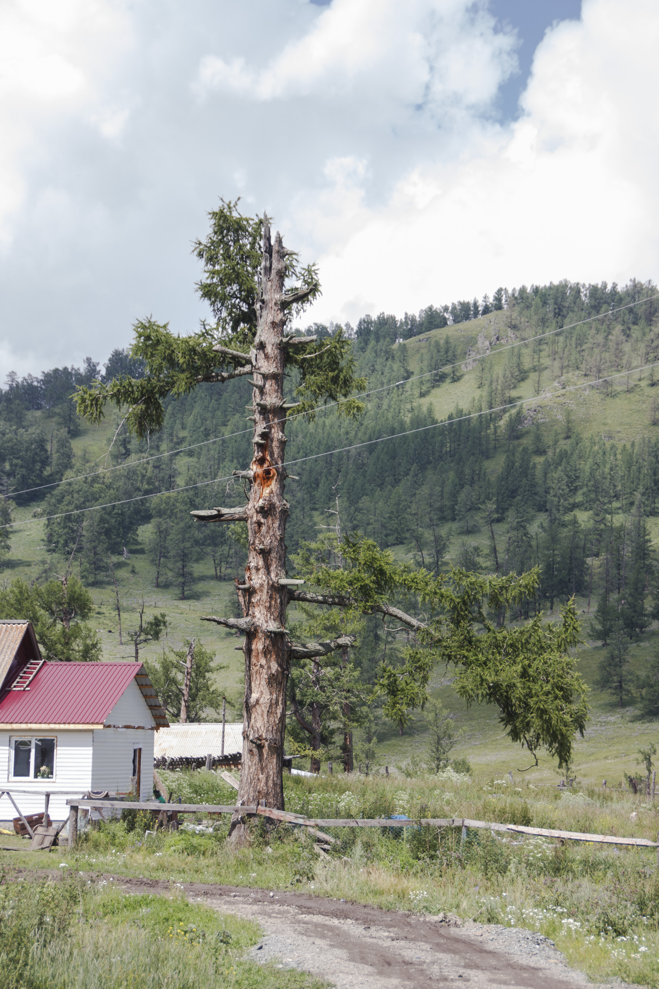
Old tree

Old tree

2016-04-30 10.58.02

2016-04-30 10.58.06

2016-04-30 11.07.33

2016-04-30 11.07.51

2016-04-30 20.18.51

Барагаш

Здесь ночью будет город
Topographic Map of Shebalinsky District, Altai Republic, Russia
Find elevation by address:

Recent Searches:
- Elevation of Corso Fratelli Cairoli, 35, Macerata MC, Italy
- Elevation of Tallevast Rd, Sarasota, FL, USA
- Elevation of 4th St E, Sonoma, CA, USA
- Elevation of Black Hollow Rd, Pennsdale, PA, USA
- Elevation of Oakland Ave, Williamsport, PA, USA
- Elevation of Pedrógão Grande, Portugal
- Elevation of Klee Dr, Martinsburg, WV, USA
- Elevation of Via Roma, Pieranica CR, Italy
- Elevation of Tavkvetili Mountain, Georgia
- Elevation of Hartfords Bluff Cir, Mt Pleasant, SC, USA