Elevation of Sharkey Planting Co, Buck Horn Rd, Holly Bluff, MS, USA
Location: United States > Mississippi > Yazoo County > Yazoo City >
Longitude: -90.7186
Latitude: 32.817
Elevation: 30m / 98feet
Barometric Pressure: 101KPa
Elevation Map:
Satellite Map:
Related Photos:

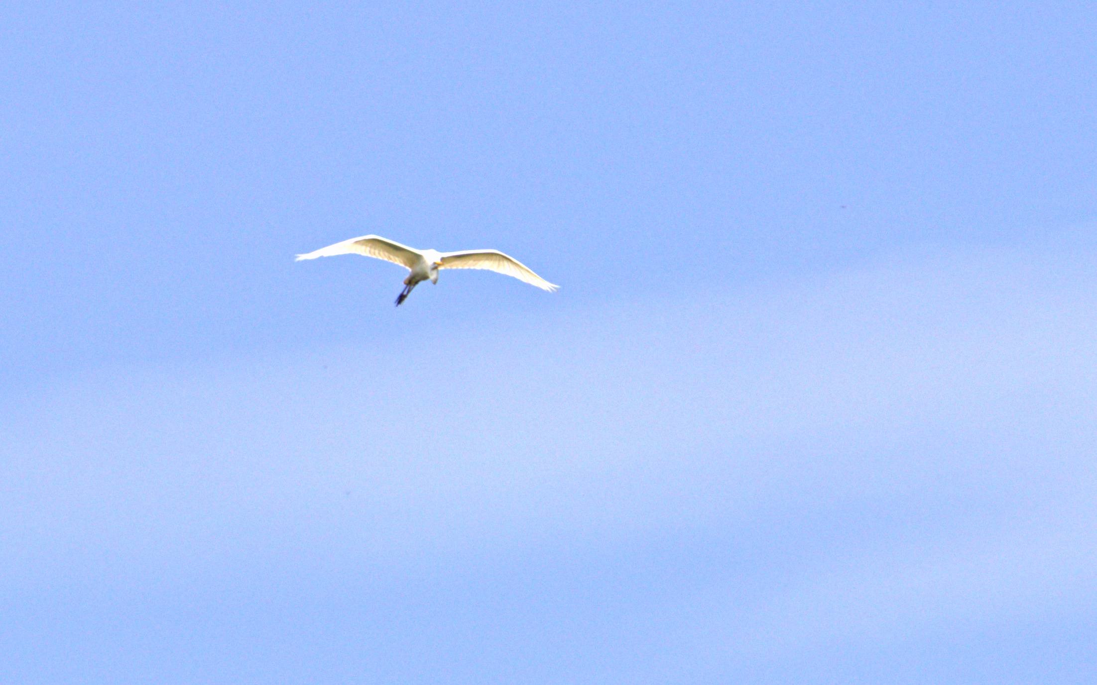
American bald eagle

Panther Swamp 12

Panther Swamp 13
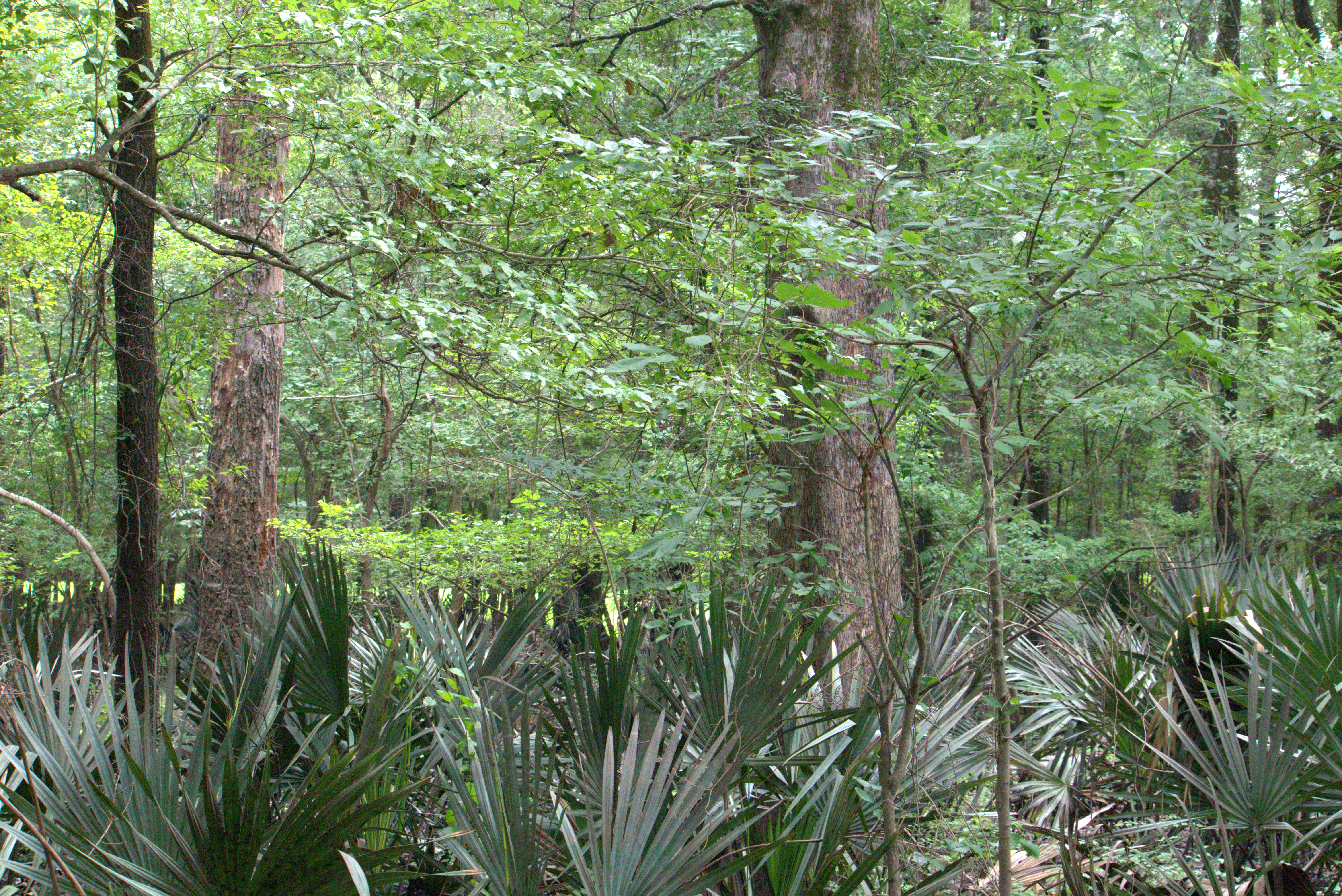
Panther Swamp 14
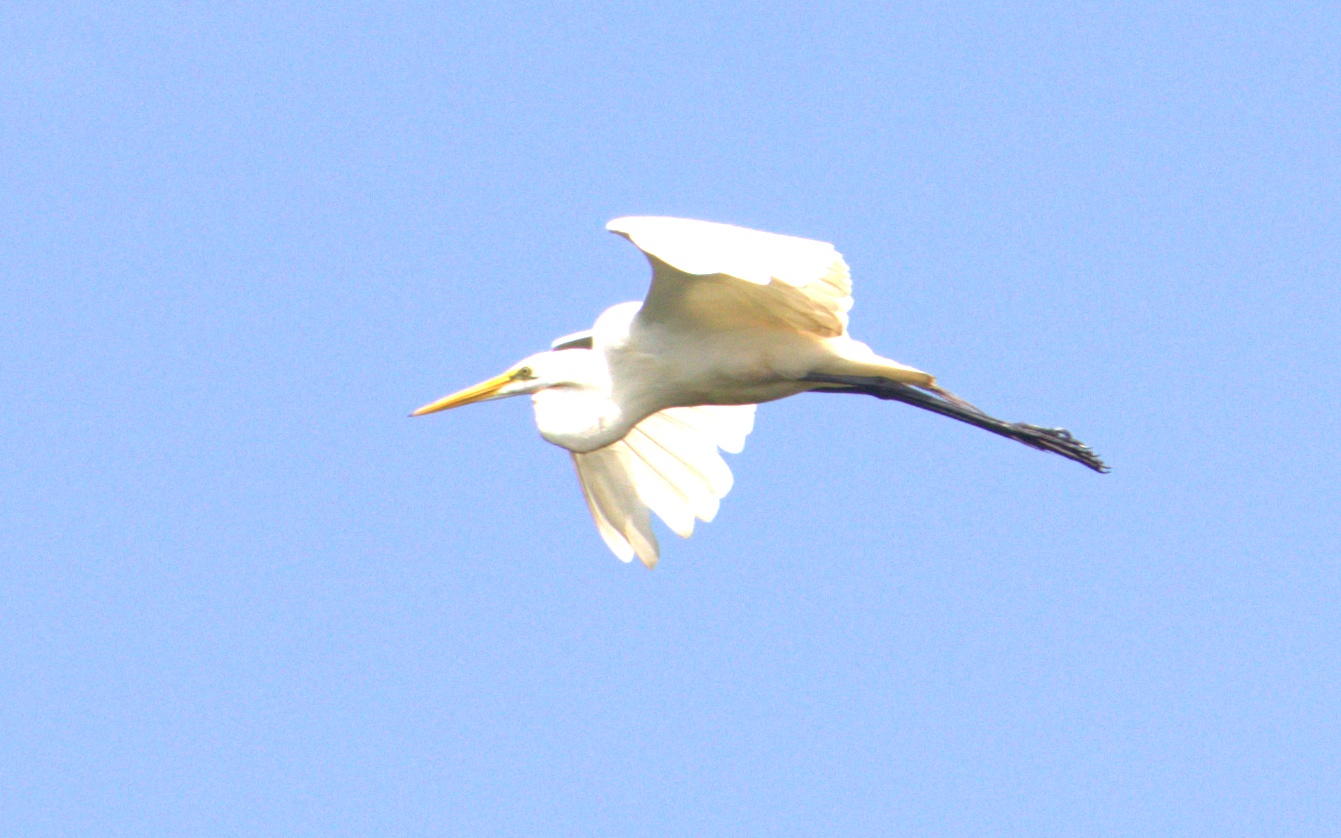
Panther Swamp 16
Panther Swamp 20
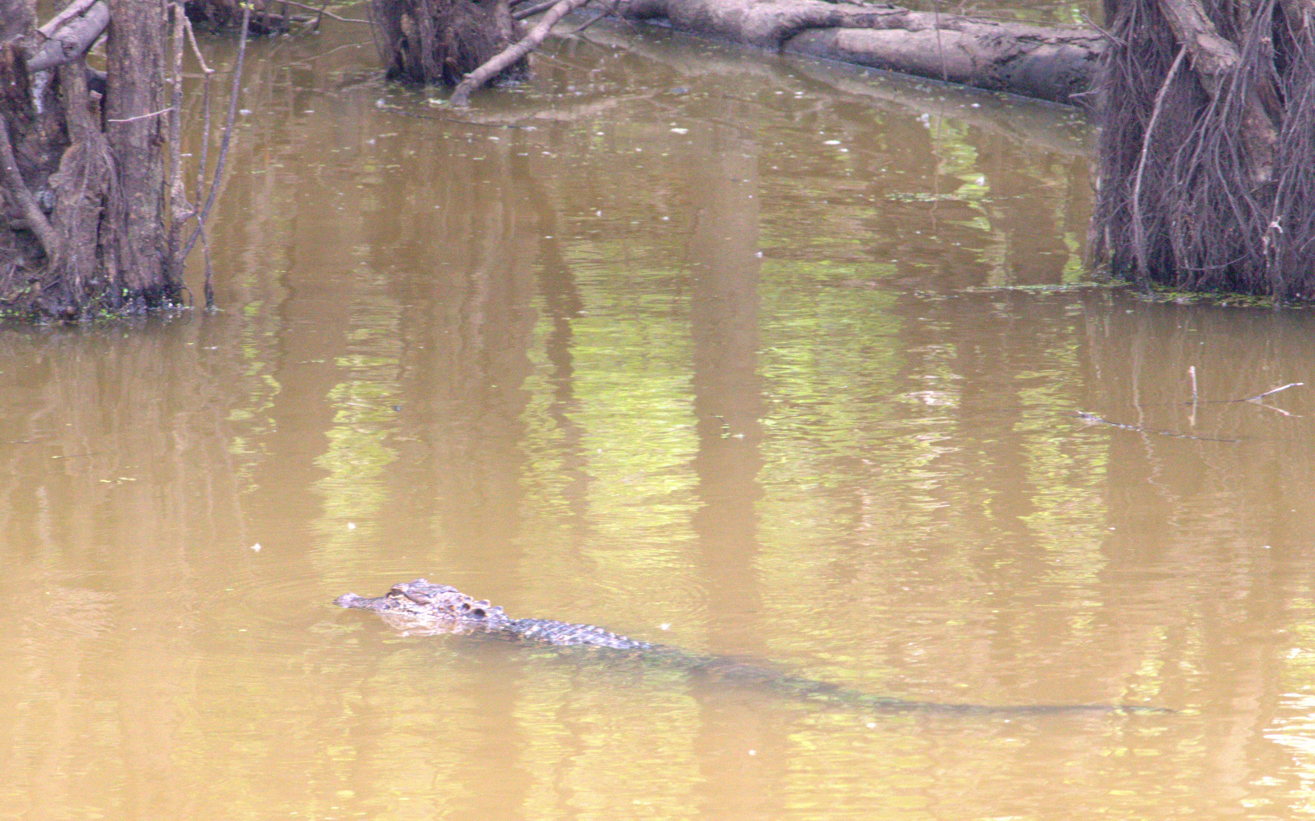
Panther Swamp 22
Panther Swamp 27
Panther Swamp 28
Panther Swamp 29

Vicksburg - Bears ? Where ?

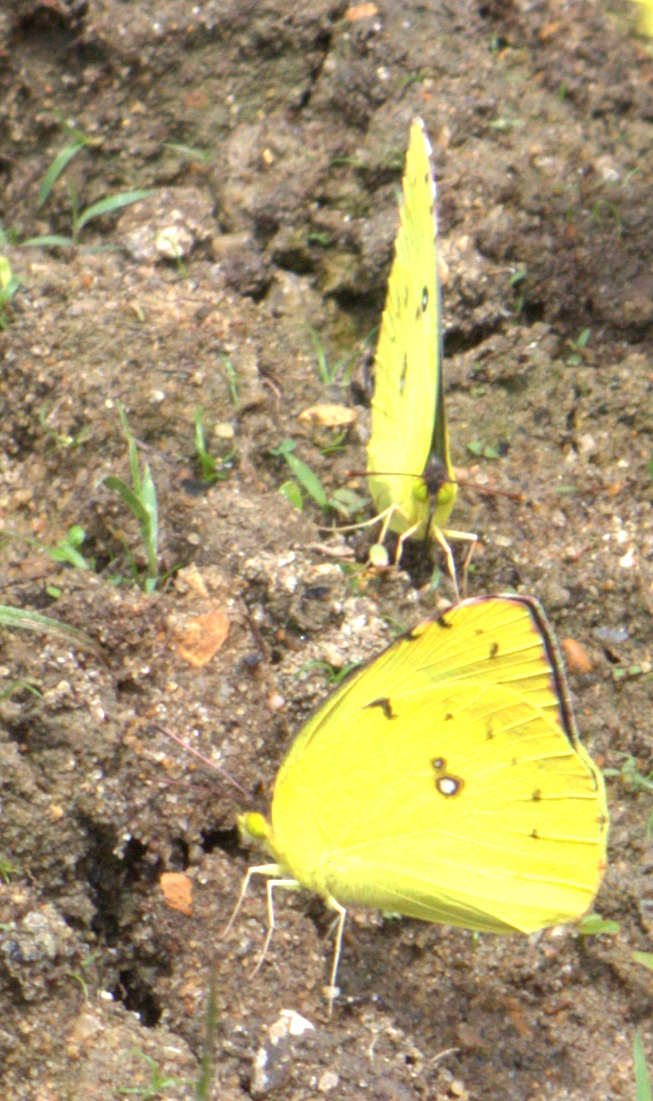
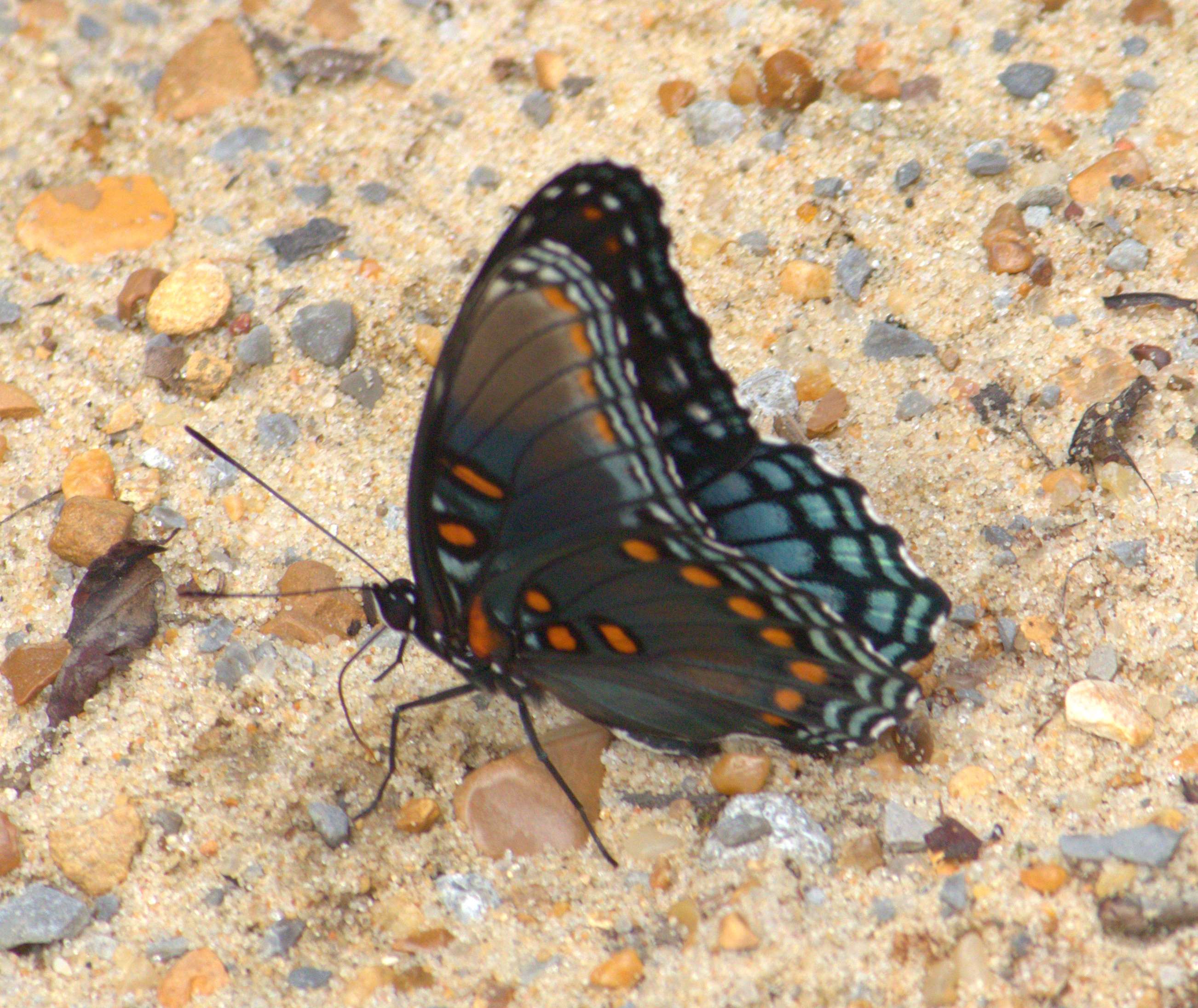
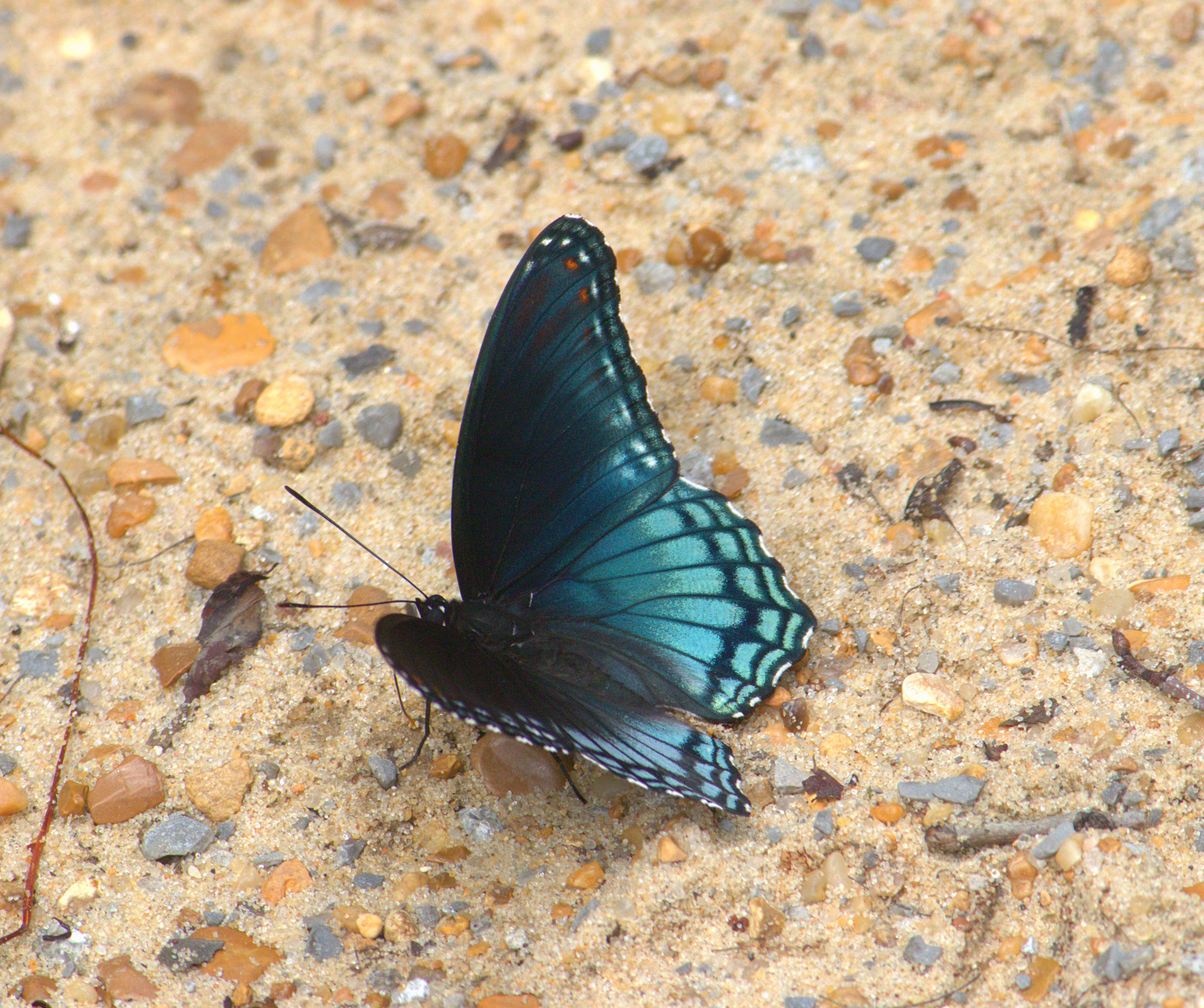
Butterflies and thistles
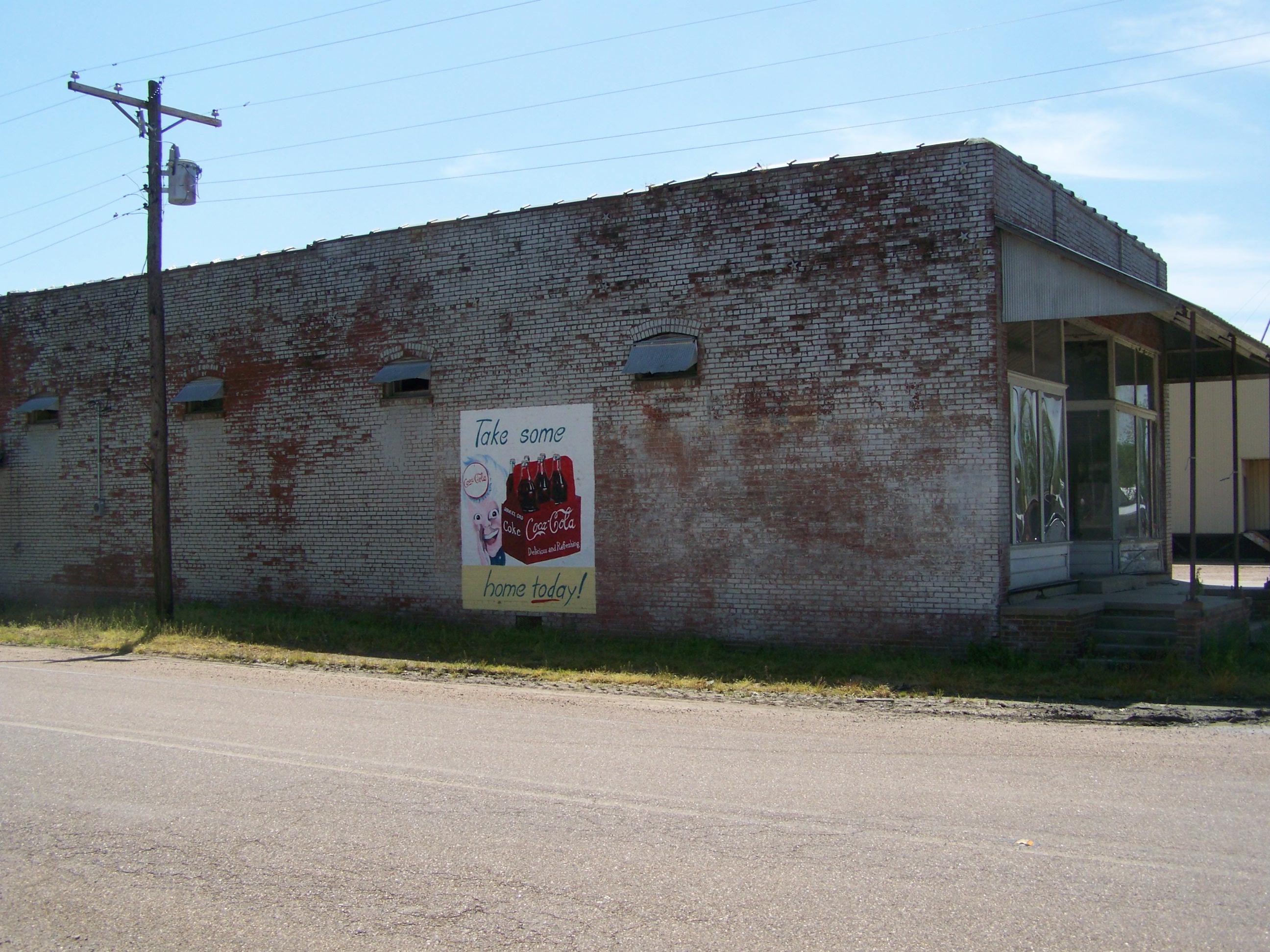
Holly Bluff MS

Holly Bluff MS (1)
Topographic Map of Sharkey Planting Co, Buck Horn Rd, Holly Bluff, MS, USA
Find elevation by address:

Places near Sharkey Planting Co, Buck Horn Rd, Holly Bluff, MS, USA:
Holly Bluff
Campbellville Road
150 Holly Bluff Gin Rd
3975 Spanish Fort Rd
Spanish Fort Rd, Holly Bluff, MS, USA
7047 Spanish Fort Rd
7047 Spanish Fort Rd
7047 Spanish Fort Rd
650 12 Mile Bayou Rd
Sandy Bayou Rd, Anguilla, MS, USA
Race Street & East Street
Rolling Fork
134 Carter Dr
134 6th St
Anguilla
US-61, Rolling Fork, MS, USA
Sharkey County
Cary
Louise
Dixie Road
Recent Searches:
- Elevation of Corso Fratelli Cairoli, 35, Macerata MC, Italy
- Elevation of Tallevast Rd, Sarasota, FL, USA
- Elevation of 4th St E, Sonoma, CA, USA
- Elevation of Black Hollow Rd, Pennsdale, PA, USA
- Elevation of Oakland Ave, Williamsport, PA, USA
- Elevation of Pedrógão Grande, Portugal
- Elevation of Klee Dr, Martinsburg, WV, USA
- Elevation of Via Roma, Pieranica CR, Italy
- Elevation of Tavkvetili Mountain, Georgia
- Elevation of Hartfords Bluff Cir, Mt Pleasant, SC, USA