Elevation of Sharjah-Kalba Road, S - Sharjah - United Arab Emirates
Location: United Arab Emirates > Sharjah > Maleha >
Longitude: 55.7998332
Latitude: 25.1676266
Elevation: 147m / 482feet
Barometric Pressure: 100KPa
Elevation Map:
Satellite Map:
Related Photos:
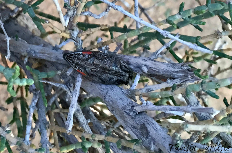
Jewel Beetle - ventral view

What a Day!

Fossil Rock sunset

Golden Evening

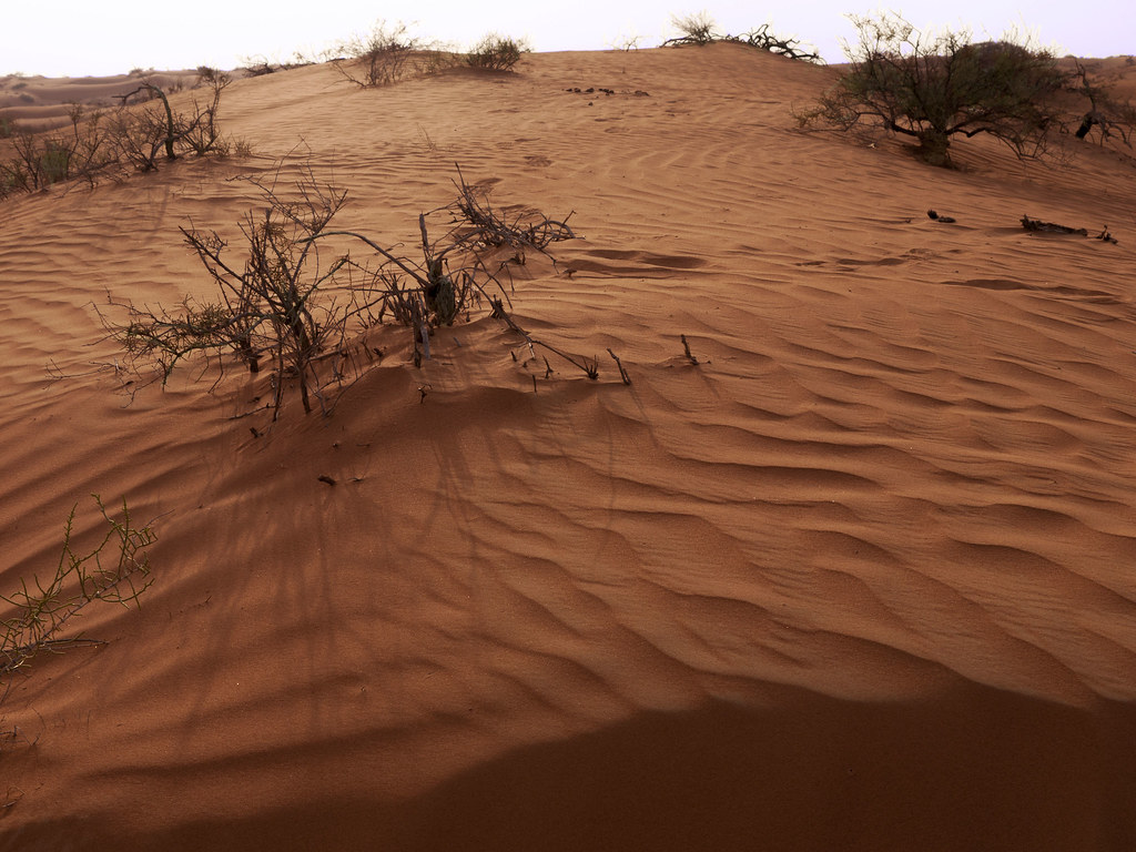
Golden Sand
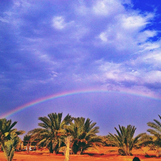
تنعومة = Rainbow

Dubai Desert

Ass Party

SunRise in Desert

Desert Safari!

Dubai desert safari, UAE
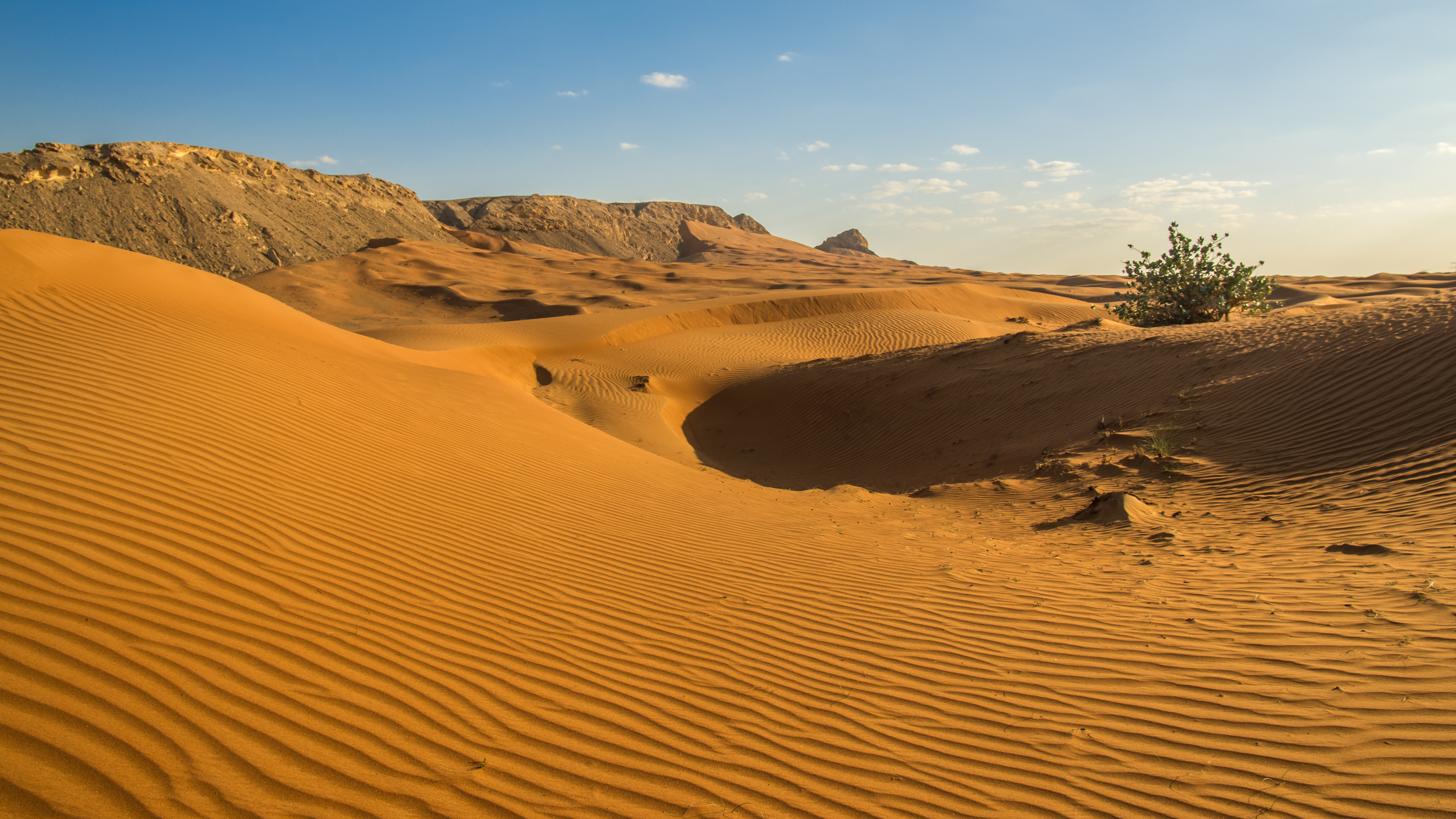
Arabian Desert 3

Wüste

Dubai desert safari, UAE

Dubai Desert

Fossil Rock

Sand everywhere
IMGP0027.jpg

Hatta 1280x720-003

Jay in't desert

Dubai - _DSC0218.JPG

Before the setting sun
Topographic Map of Sharjah-Kalba Road, S - Sharjah - United Arab Emirates
Find elevation by address:

Places near Sharjah-Kalba Road, S - Sharjah - United Arab Emirates:
Maleha
Sharjah
Jebel Buhais
Fili
Al Aweer
American University Of Sharjah
Mushrif Park
Sharjah Academy Of Astronomy, Space Sciences & Technology
Algeria Street
The Myriad - Dubai
Mirdif
Heriot-watt University Dubai
Industrial Area
City Centre Mirdif
Academic City
Sayh Mudayrah
Dubai
Al Qusais
Dubai Festival City
Masfoot
Recent Searches:
- Elevation of Corso Fratelli Cairoli, 35, Macerata MC, Italy
- Elevation of Tallevast Rd, Sarasota, FL, USA
- Elevation of 4th St E, Sonoma, CA, USA
- Elevation of Black Hollow Rd, Pennsdale, PA, USA
- Elevation of Oakland Ave, Williamsport, PA, USA
- Elevation of Pedrógão Grande, Portugal
- Elevation of Klee Dr, Martinsburg, WV, USA
- Elevation of Via Roma, Pieranica CR, Italy
- Elevation of Tavkvetili Mountain, Georgia
- Elevation of Hartfords Bluff Cir, Mt Pleasant, SC, USA