Elevation of Shanivarasanthe, Karnataka, India
Location: India > Karnataka > Kodagu >
Longitude: 75.8897029
Latitude: 12.726713
Elevation: 962m / 3156feet
Barometric Pressure: 90KPa
Elevation Map:
Satellite Map:
Related Photos:

the lone trekker

Near Sakleshpur

Near Sakleshpur
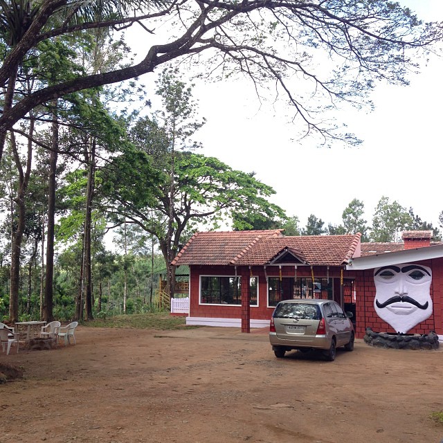
#igoor #house

Dodda Mane. #bighouse

In the elements.

@nikhilballal potting some.
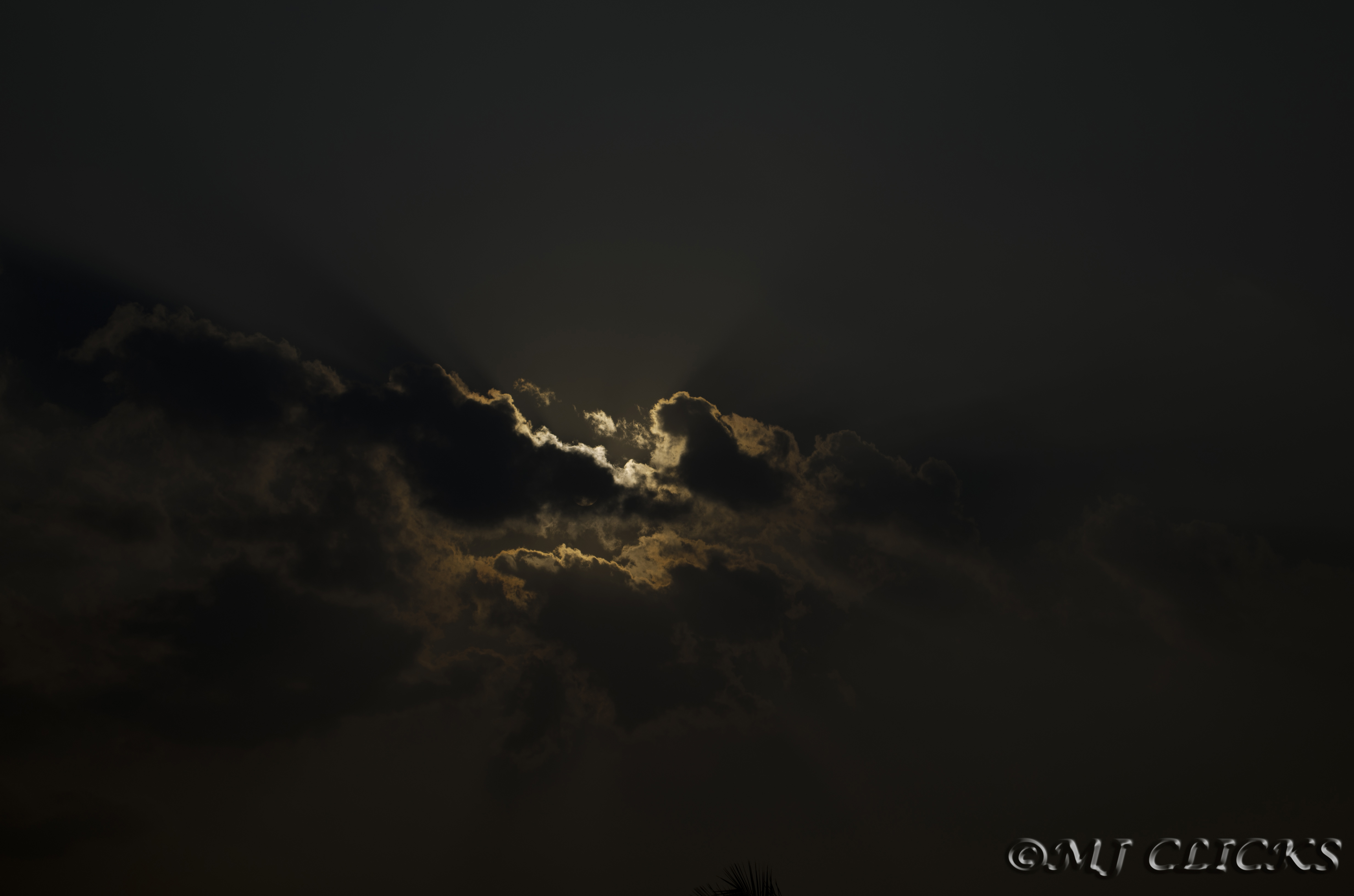
clouds of COORG

Aggigade - the Nature's Treat

New Day..

Aggigade - Greate place to relaz
Topographic Map of Shanivarasanthe, Karnataka, India
Find elevation by address:

Places near Shanivarasanthe, Karnataka, India:
Kumarahalli
State Highway 85
Malemane
Mallalli Waterfalls
Sakleshpur
State Highway 85
Kukke Subramanya Temple Arch
Belur
Mudigere
The Hidden Valley
Kottigehara
Yelagudige
Kambalakaad Holiday Home
Dharmasthala
Ardavalli
Kemmanagundi Homestay
Coffee Tranquil
Chickmagaluru
Naraganahalli
Silver Palm Retreat
Recent Searches:
- Elevation of Corso Fratelli Cairoli, 35, Macerata MC, Italy
- Elevation of Tallevast Rd, Sarasota, FL, USA
- Elevation of 4th St E, Sonoma, CA, USA
- Elevation of Black Hollow Rd, Pennsdale, PA, USA
- Elevation of Oakland Ave, Williamsport, PA, USA
- Elevation of Pedrógão Grande, Portugal
- Elevation of Klee Dr, Martinsburg, WV, USA
- Elevation of Via Roma, Pieranica CR, Italy
- Elevation of Tavkvetili Mountain, Georgia
- Elevation of Hartfords Bluff Cir, Mt Pleasant, SC, USA