Elevation of Shake Ridge Road & Gold Creek Trail, Shake Ridge Rd & Gold Creek Trail, California, USA
Location: United States > California > Amador County > Volcano >
Longitude: -120.58890
Latitude: 38.4891399
Elevation: 1002m / 3287feet
Barometric Pressure: 90KPa
Elevation Map:
Satellite Map:
Related Photos:

Magic Shroom Beetle

Shadow Ranch, Winery view

View across the canyon from Omo Ranch Road

View from Omo Road - Tahoe National Forest

Tahoe Forest - View across the canyon Omo Ranch Road

Tahoe Forest - View across the canyon Omo Ranch Road

Tahoe Forest - View across the canyon Omo Ranch Road

Tahoe Forest - View across the canyon Omo Ranch Road

Tahoe Forest - View across the canyon Omo Ranch Road

Miwok Ceremonial Roundhouse, 6 of 6

Indian Grinding Rock
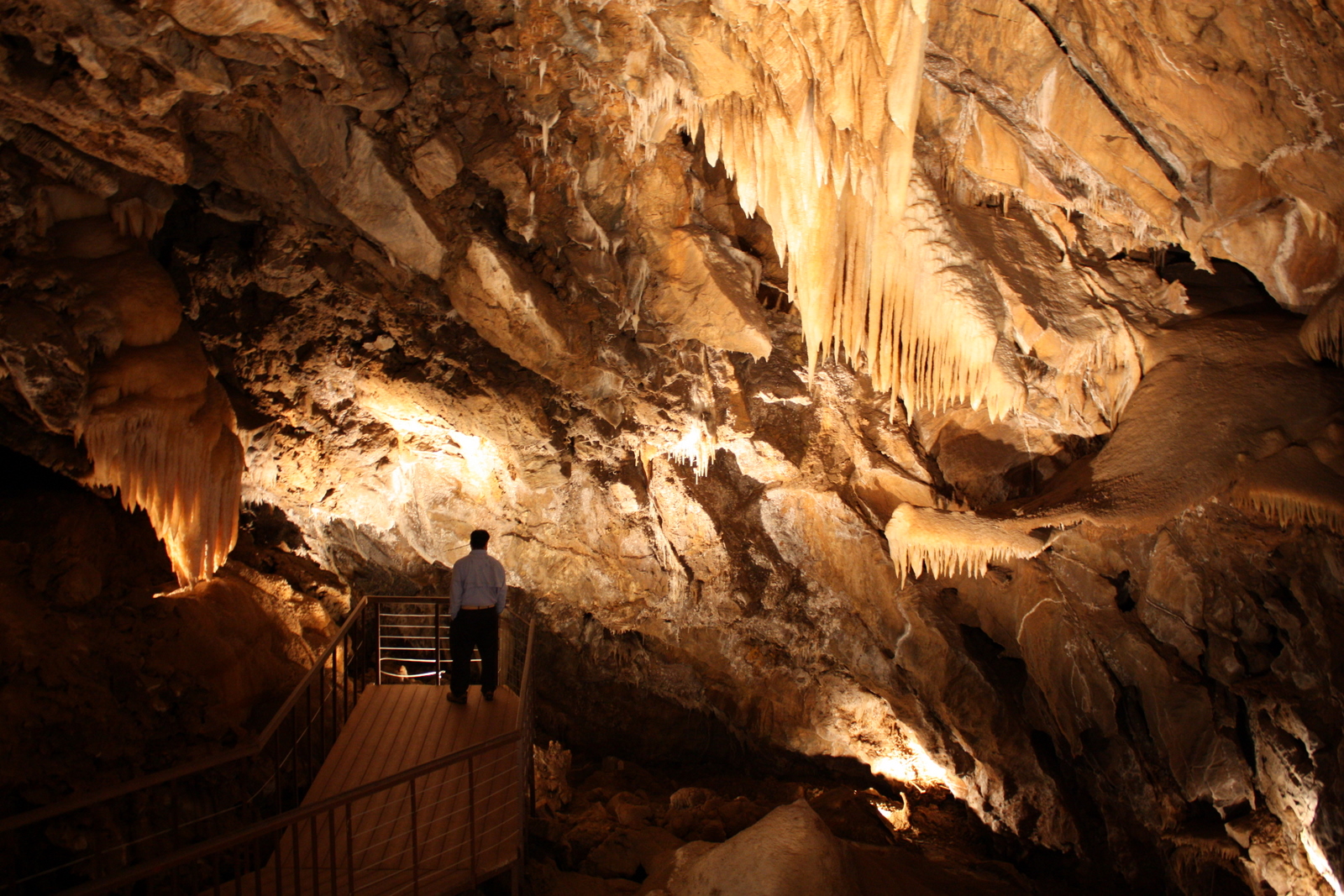
Black Chasm Cavern

Miwok Ceremonial Roundhouse, 4 of 6

Miwok Ceremonial Roundhouse, 5 of 6
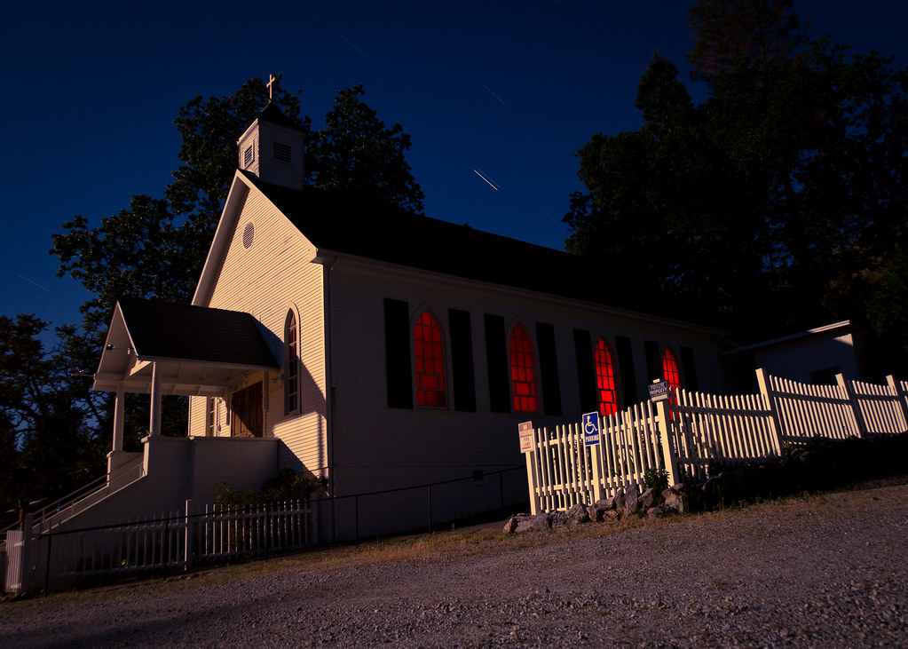
St. Bernard's Church

Miwok Ceremonial Roundhouse, 2 of 6

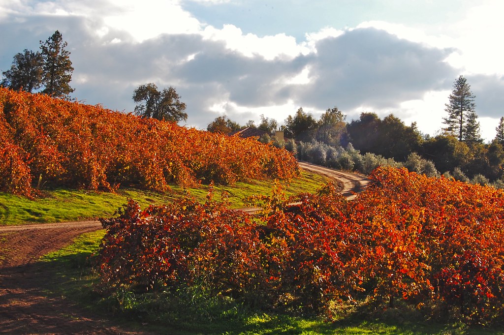
Sobon Estates view

Mt. Aukum fall views

Sobon Estates view
Patio views Il Gioiello tasting room

Patio views Il Gioiello tasting room

Fiery sunset

Saturday night

California Foothill Terrain, at it's best !!

Walking along the Road

Stalactites in Black Chasm Cavern, Volcano, California
PiPi 2008 037

Black Chasm Caverns

Black Chasm Cavern

Black Chasm Caverns

Black Chasm Caverns

Black Chasm Caverns

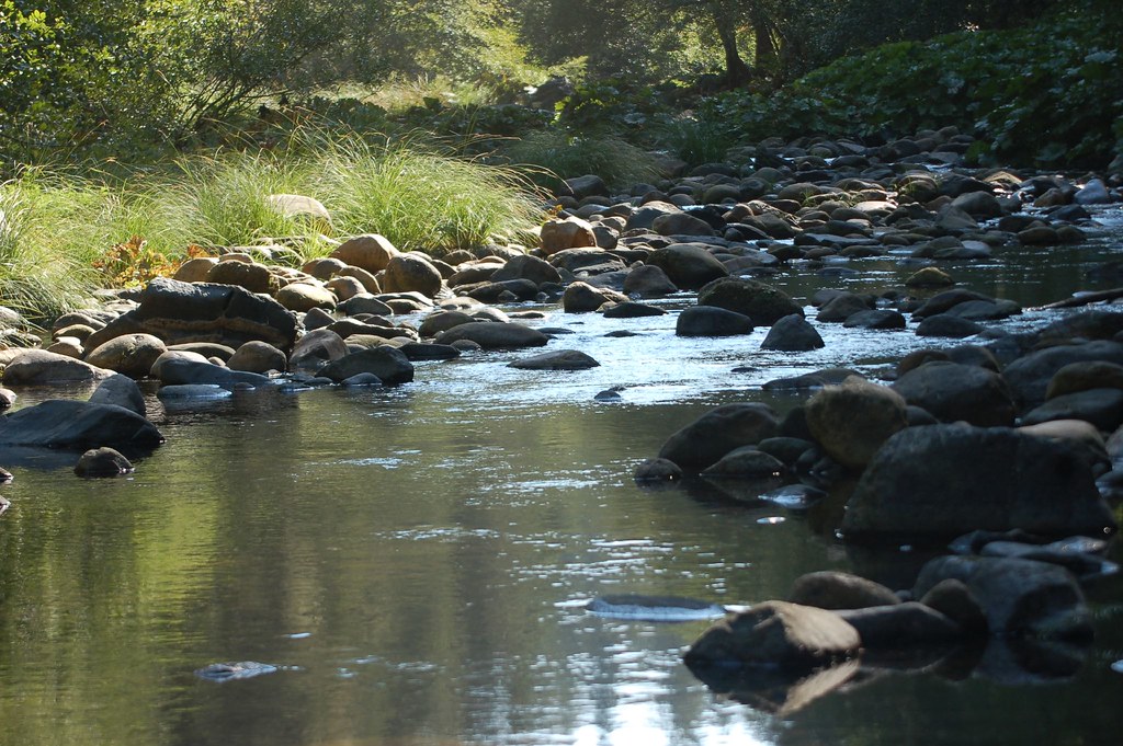
Tabeaud Lake

u’macha (bark house)

Driven, Winery

cloud & glass

chaw’se

winter skies

Protected by the shadows

Black Chasm Cave Tour
Topographic Map of Shake Ridge Road & Gold Creek Trail, Shake Ridge Rd & Gold Creek Trail, California, USA
Find elevation by address:

Places near Shake Ridge Road & Gold Creek Trail, Shake Ridge Rd & Gold Creek Trail, California, USA:
Shake Ridge Road & Gold Creek Trail
Shake Ridge Road & Gold Creek Trail
Shake Ridge Road & Gold Creek Trail
Shake Ridge Road & Gold Creek Trail
Gold Creek Trail & Shake Ridge Road
23522 Shake Ridge Rd
23531 Shake Ridge Rd
19300 Gold Creek Trail
23590 Shake Ridge Rd
Shake Ridge Road & Golden Meadow Drive
19200 Gold Creek Trail
23370 Lark Ln
19101 Gold Creek Trail
Lockwood Fire Protection District - Station 1
23140 Shake Ridge Rd
22960 Shake Ridge Rd
17770 Gold Creek Trail
Shake Ridge Road & Cad Clara Road
Shake Ridge Road & Cad Clara Road
19750 Markley Mine Rd
Recent Searches:
- Elevation of East W.T. Harris Boulevard, E W.T. Harris Blvd, Charlotte, NC, USA
- Elevation of West Sugar Creek, Charlotte, NC, USA
- Elevation of Wayland, NY, USA
- Elevation of Steadfast Ct, Daphne, AL, USA
- Elevation of Lagasgasan, X+CQH, Tiaong, Quezon, Philippines
- Elevation of Rojo Ct, Atascadero, CA, USA
- Elevation of Flagstaff Drive, Flagstaff Dr, North Carolina, USA
- Elevation of Avery Ln, Lakeland, FL, USA
- Elevation of Woolwine, VA, USA
- Elevation of Lumagwas Diversified Farmers Multi-Purpose Cooperative, Lumagwas, Adtuyon, RV32+MH7, Pangantucan, Bukidnon, Philippines