Elevation of Shahrekord, Chaharmahal and Bakhtiari Province, Iran
Location: Iran > Chaharmahal And Bakhtiari >
Longitude: 50.8768541
Latitude: 32.3282386
Elevation: 2076m / 6811feet
Barometric Pressure: 79KPa
Elevation Map:
Satellite Map:
Related Photos:
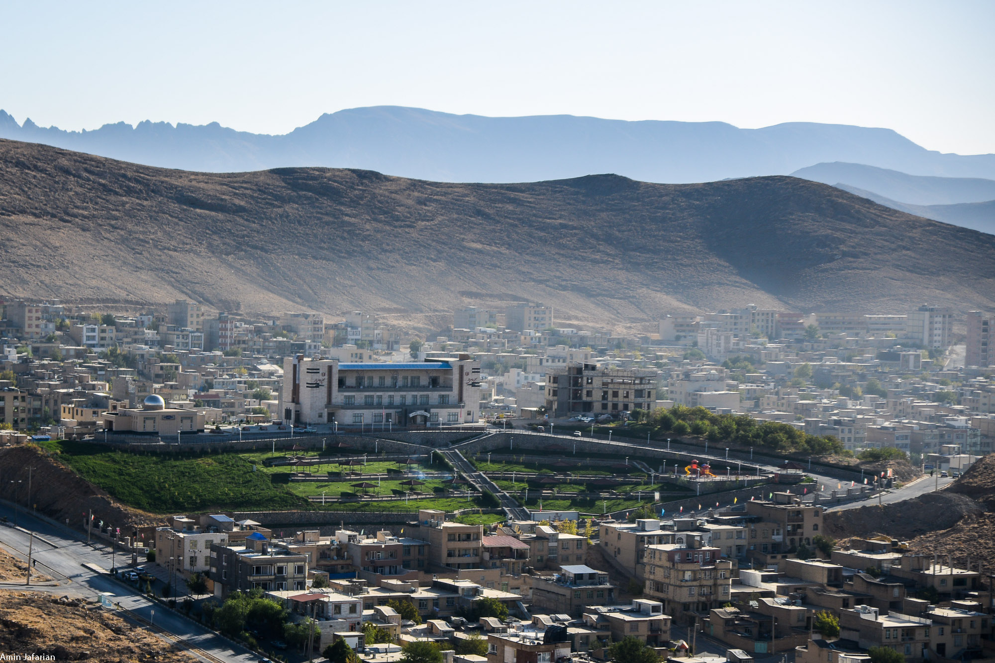
AJJ_5240
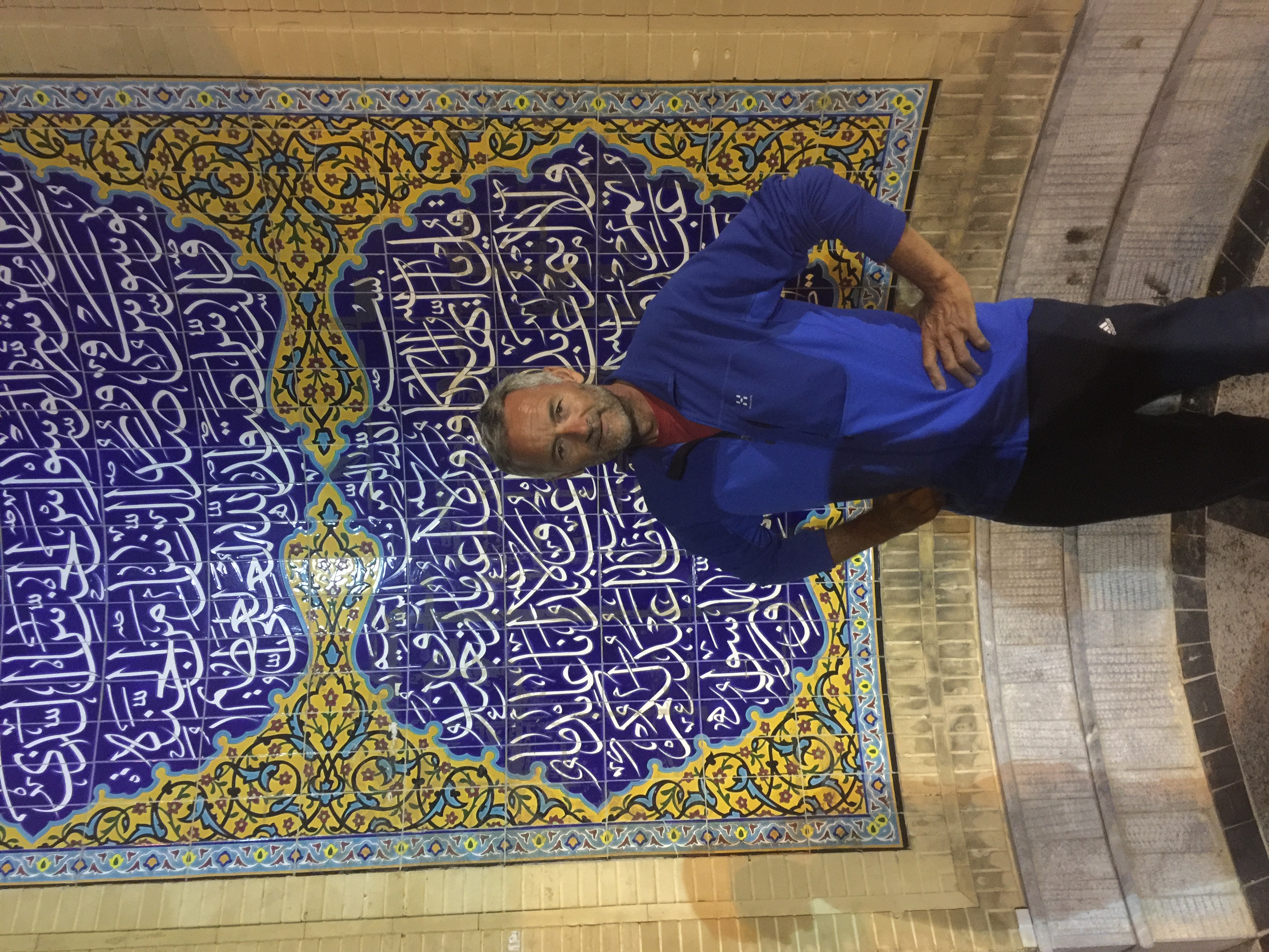
Sightseeing with Mehdi and his Nephew

Falafel cooking
Topographic Map of Shahrekord, Chaharmahal and Bakhtiari Province, Iran
Find elevation by address:

Places near Shahrekord, Chaharmahal and Bakhtiari Province, Iran:
Farrokhshahr
Shalamzar
Chaharmahal And Bakhtiari
Ardal
Boroujen
Mobarakeh
Lordegan
Dehaghan
Dehaghan
Shahreza
Semirom
سندگان
Qarah
Lordegan Petrochemical
Zagros Mountains
Semirom
Khafr
Kuh-e Dinar
Recent Searches:
- Elevation of Corso Fratelli Cairoli, 35, Macerata MC, Italy
- Elevation of Tallevast Rd, Sarasota, FL, USA
- Elevation of 4th St E, Sonoma, CA, USA
- Elevation of Black Hollow Rd, Pennsdale, PA, USA
- Elevation of Oakland Ave, Williamsport, PA, USA
- Elevation of Pedrógão Grande, Portugal
- Elevation of Klee Dr, Martinsburg, WV, USA
- Elevation of Via Roma, Pieranica CR, Italy
- Elevation of Tavkvetili Mountain, Georgia
- Elevation of Hartfords Bluff Cir, Mt Pleasant, SC, USA