Elevation map of Shahinshahr va Meymeh, Isfahan Province, Iran
Location: Iran > Isfahan >
Longitude: 51.5150077
Latitude: 33.1271852
Elevation: 1698m / 5571feet
Barometric Pressure: 83KPa
Elevation Map:
Satellite Map:
Related Photos:
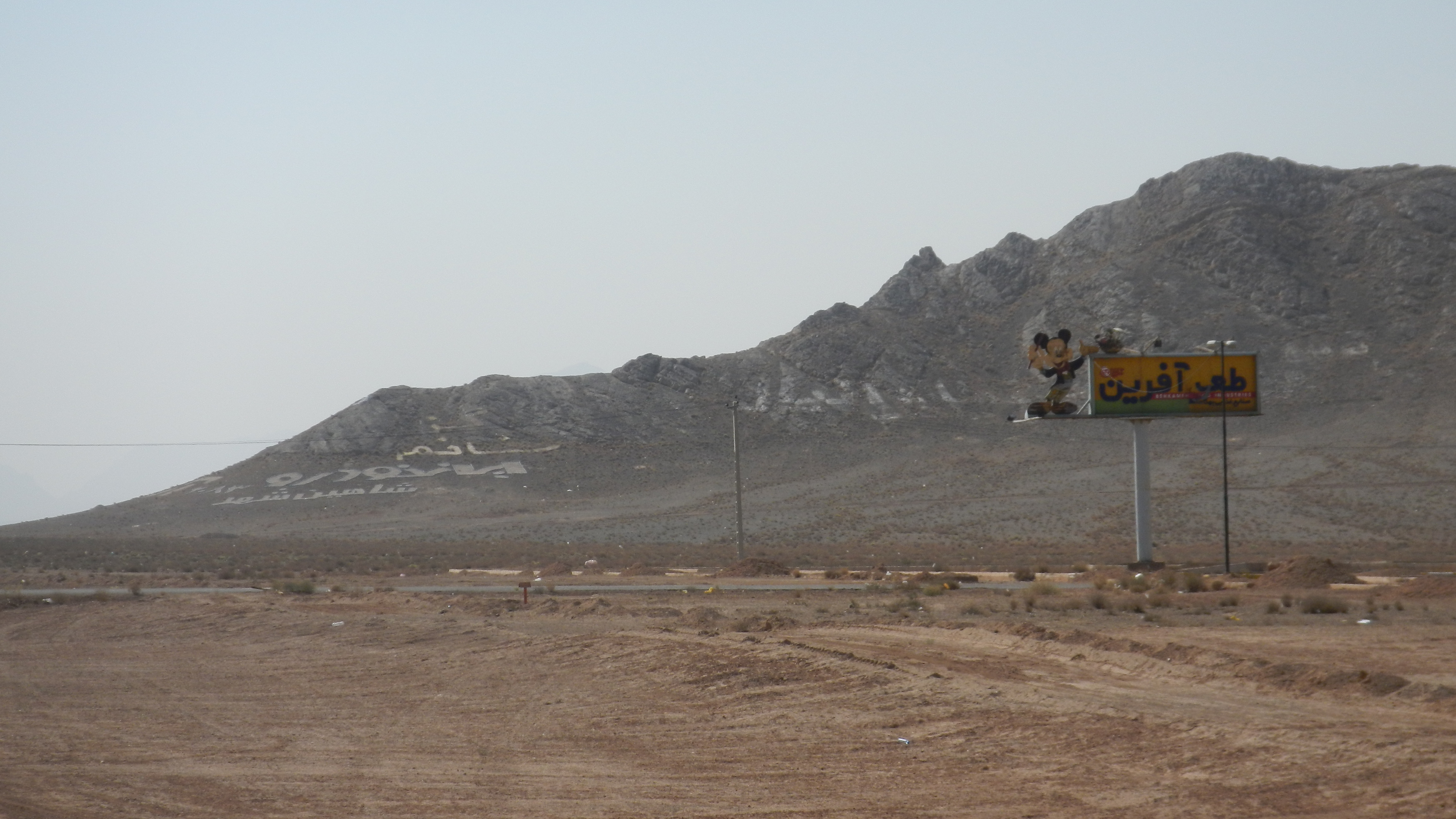
la montagne de Mickey

DSC_7915.NEF

DSC_7912.NEF

IRAN-2016-10031850

Caravanseray de la Madre del Sha. Isfahan. Irán
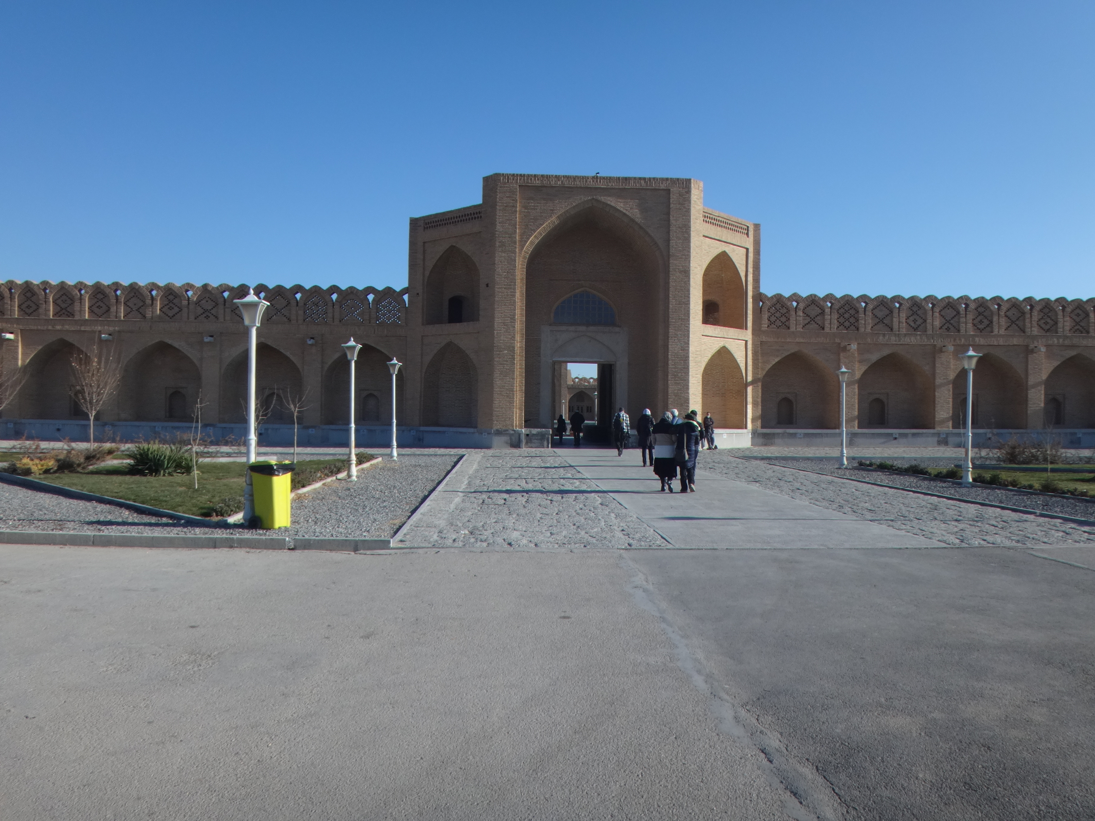
Caravanseray de la Madre del Sha. Isfahan. Irán

Caravanseray de la Madre del Sha. Isfahan. Irán

DSC_7911.NEF
Topographic Map of Shahinshahr va Meymeh, Isfahan Province, Iran
Find elevation by address:

Places in Shahinshahr va Meymeh, Isfahan Province, Iran:
Places near Shahinshahr va Meymeh, Isfahan Province, Iran:
Shahin Shahr
Borkhar
Khomeyni Shahr
Rehnan
Abyaneh
Khomeini Shahr
Najaf Abad
Isfahan
Siose Pol Bridge
Ferdowsi
Najafabad
Khajoo Square
Dorcheh
Mohammad Abad
Isfahan International Airport
Khorasgan
Natanz
Wastewater Treatment Plant Of Isfahan
Amarzideh Abad
Natanz
Recent Searches:
- Elevation of Corso Fratelli Cairoli, 35, Macerata MC, Italy
- Elevation of Tallevast Rd, Sarasota, FL, USA
- Elevation of 4th St E, Sonoma, CA, USA
- Elevation of Black Hollow Rd, Pennsdale, PA, USA
- Elevation of Oakland Ave, Williamsport, PA, USA
- Elevation of Pedrógão Grande, Portugal
- Elevation of Klee Dr, Martinsburg, WV, USA
- Elevation of Via Roma, Pieranica CR, Italy
- Elevation of Tavkvetili Mountain, Georgia
- Elevation of Hartfords Bluff Cir, Mt Pleasant, SC, USA