Elevation of Shady Oaks Campground, Fairgrounds St, Garden City, MN, USA
Location: United States > Minnesota > Blue Earth County > Garden City Township > Garden City >
Longitude: -94.159698
Latitude: 44.0468979
Elevation: 279m / 915feet
Barometric Pressure: 98KPa
Elevation Map:
Satellite Map:
Related Photos:
Twice Fallen
The view up
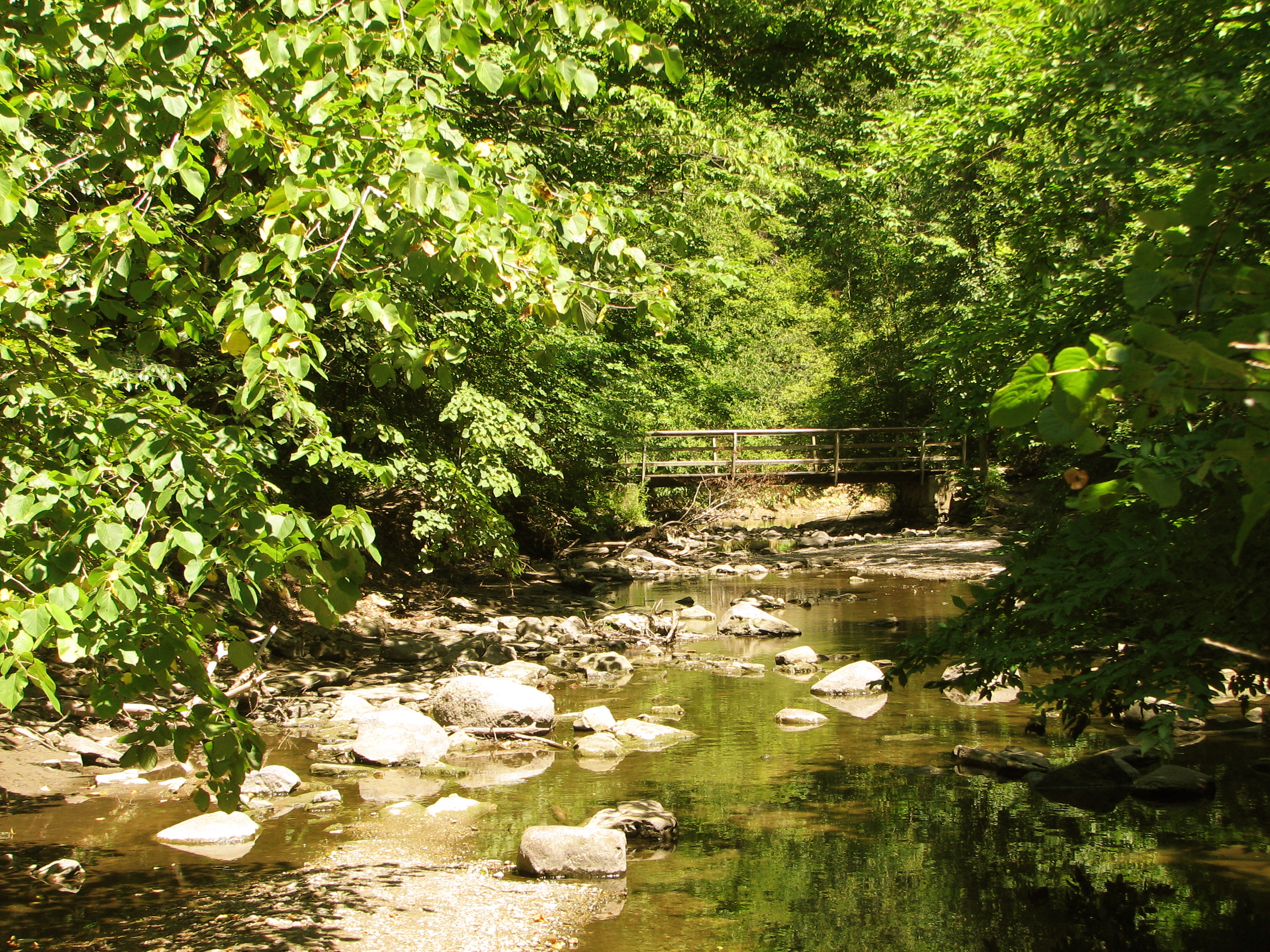
On the bridge view
Chad's view
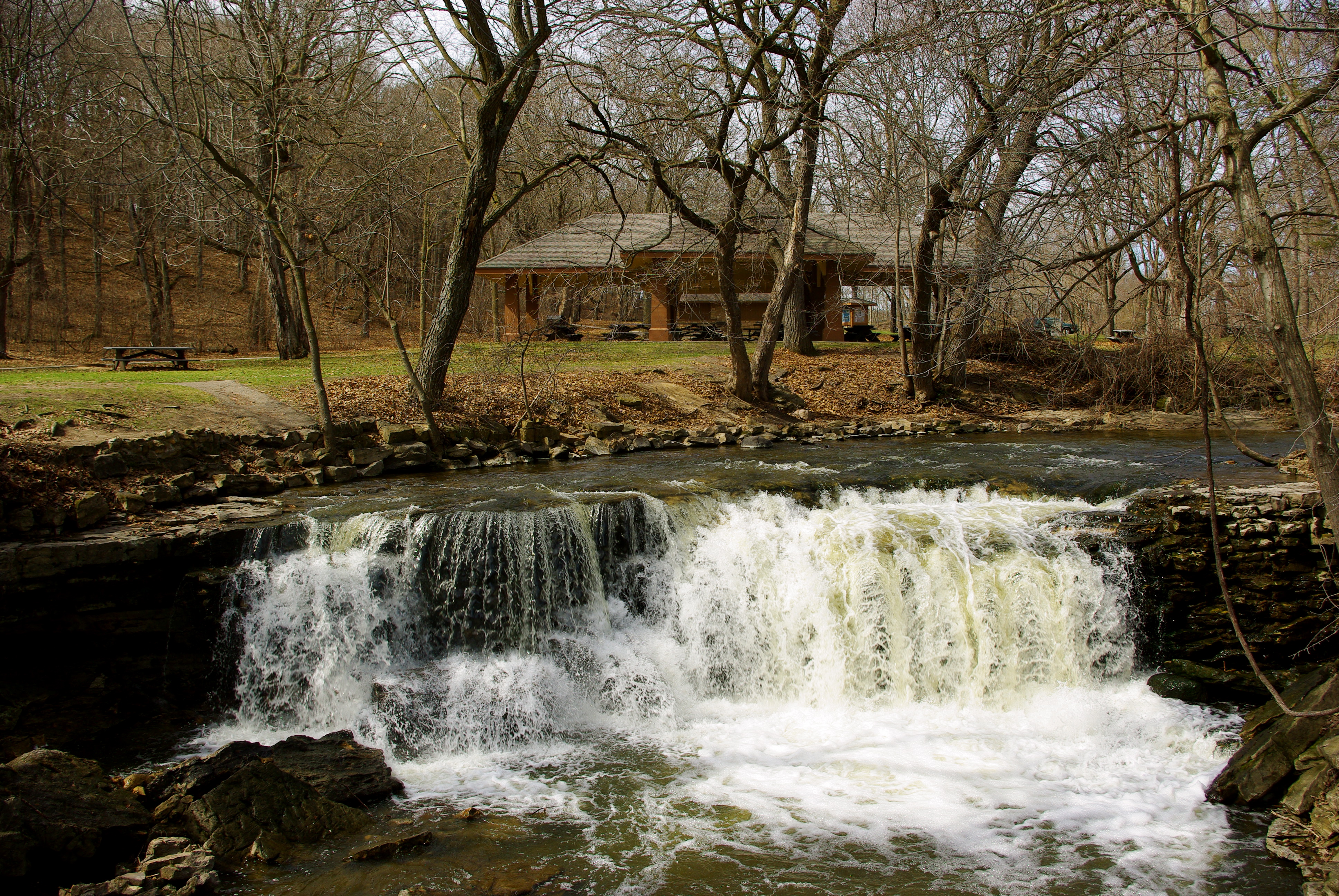
Upper Falls
view of the 2nd bridge
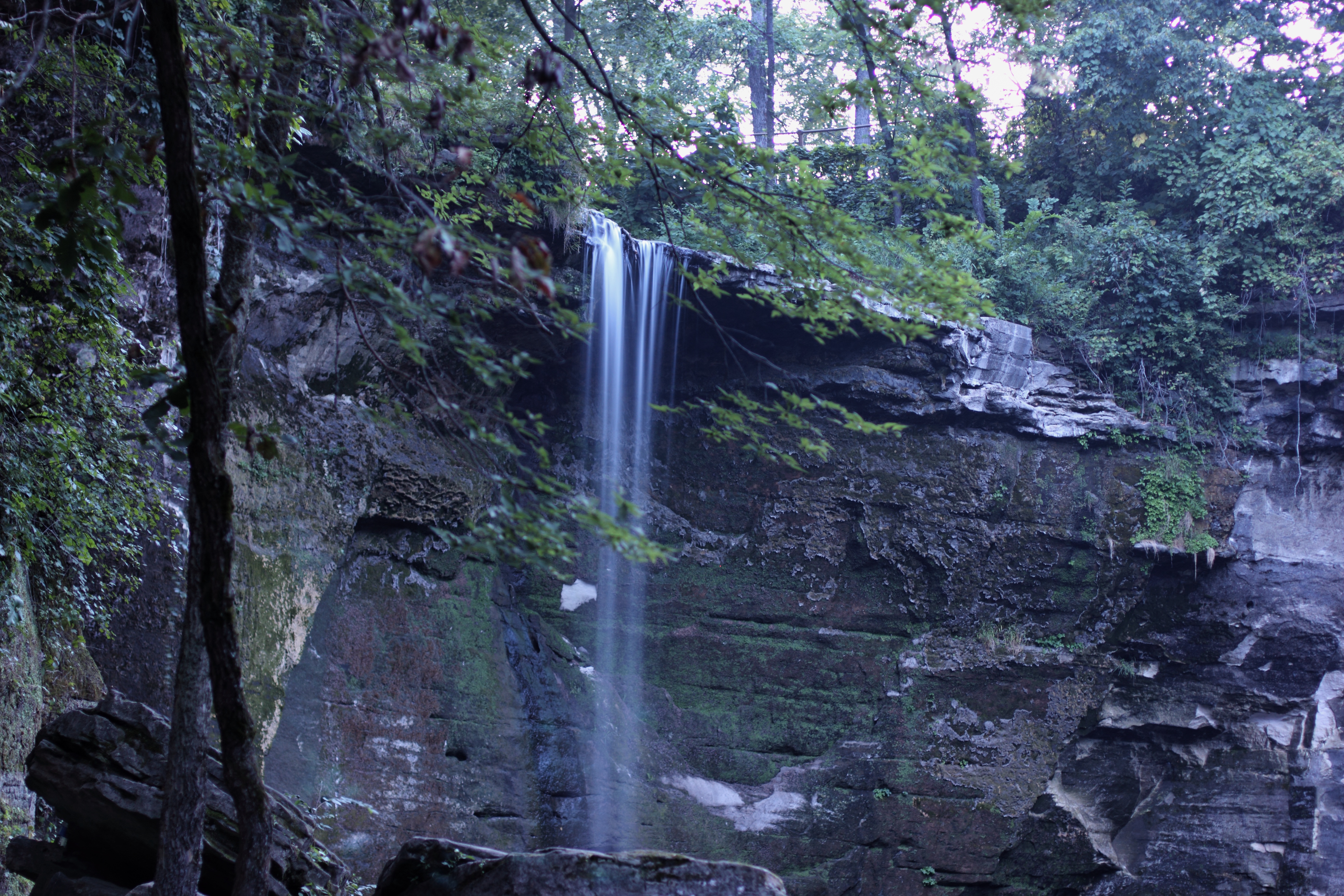
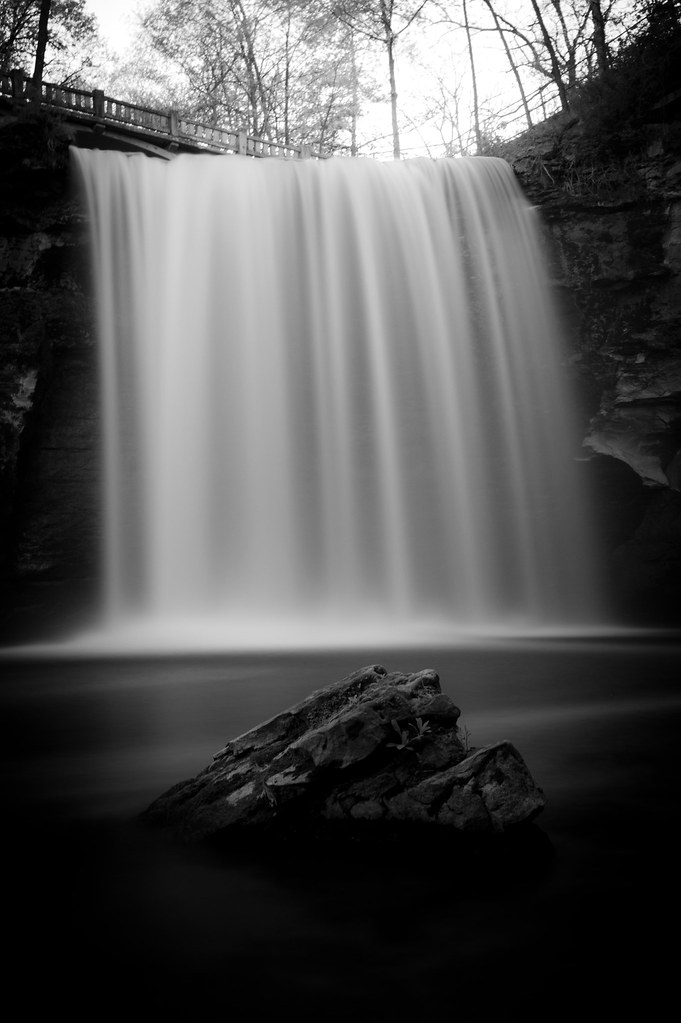
Minneopa Falls
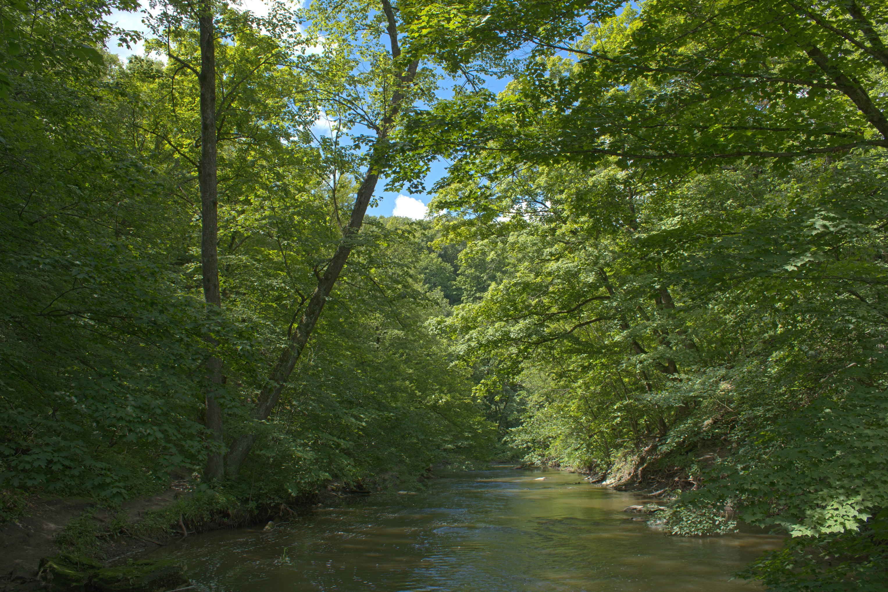
Summertime in Minneopa

First waterfall
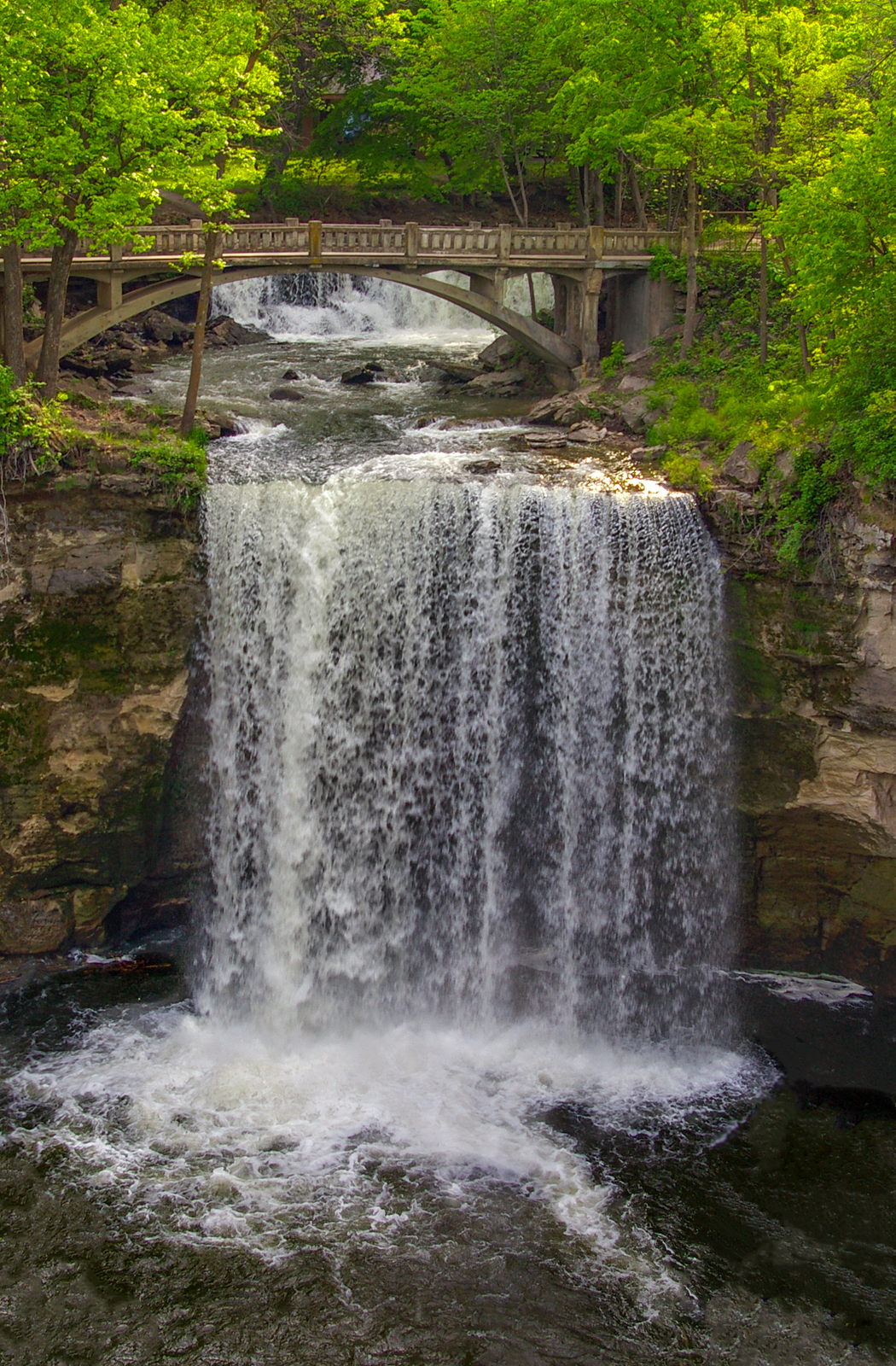
Minneopa Falls

Chad's view in fall

The view down

View from trestle
Topographic Map of Shady Oaks Campground, Fairgrounds St, Garden City, MN, USA
Find elevation by address:

Places near Shady Oaks Campground, Fairgrounds St, Garden City, MN, USA:
Garden City
Washington St, Garden City, MN, USA
Garden City Township
th St, Mankato, MN, USA
South Bend Township
55856 River Fort Dr
227 Lyd Blvd
44432 Judson Bottom Rd
43161 520th St
E Maine St, Amboy, MN, USA
Amboy
Skyline
th Ave, Amboy, MN, USA
Krbi-fm
North Mankato
1113 Sunrise Dr
Nicollet Township
Sharon Dr, North Mankato, MN, USA
Shaubut Street
215 James Ave
Recent Searches:
- Elevation of Corso Fratelli Cairoli, 35, Macerata MC, Italy
- Elevation of Tallevast Rd, Sarasota, FL, USA
- Elevation of 4th St E, Sonoma, CA, USA
- Elevation of Black Hollow Rd, Pennsdale, PA, USA
- Elevation of Oakland Ave, Williamsport, PA, USA
- Elevation of Pedrógão Grande, Portugal
- Elevation of Klee Dr, Martinsburg, WV, USA
- Elevation of Via Roma, Pieranica CR, Italy
- Elevation of Tavkvetili Mountain, Georgia
- Elevation of Hartfords Bluff Cir, Mt Pleasant, SC, USA