Elevation of Seterdalen, Geilo, Norway
Location: Norway > Buskerud > Hol >
Longitude: 8.224547
Latitude: 60.3842931
Elevation: 1037m / 3402feet
Barometric Pressure: 89KPa
Elevation Map:
Satellite Map:
Related Photos:
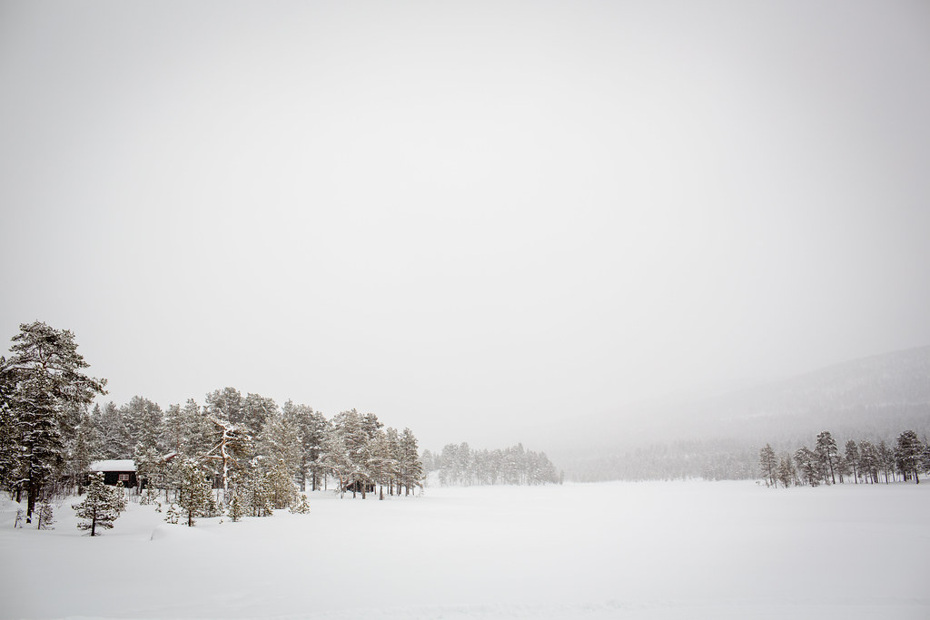
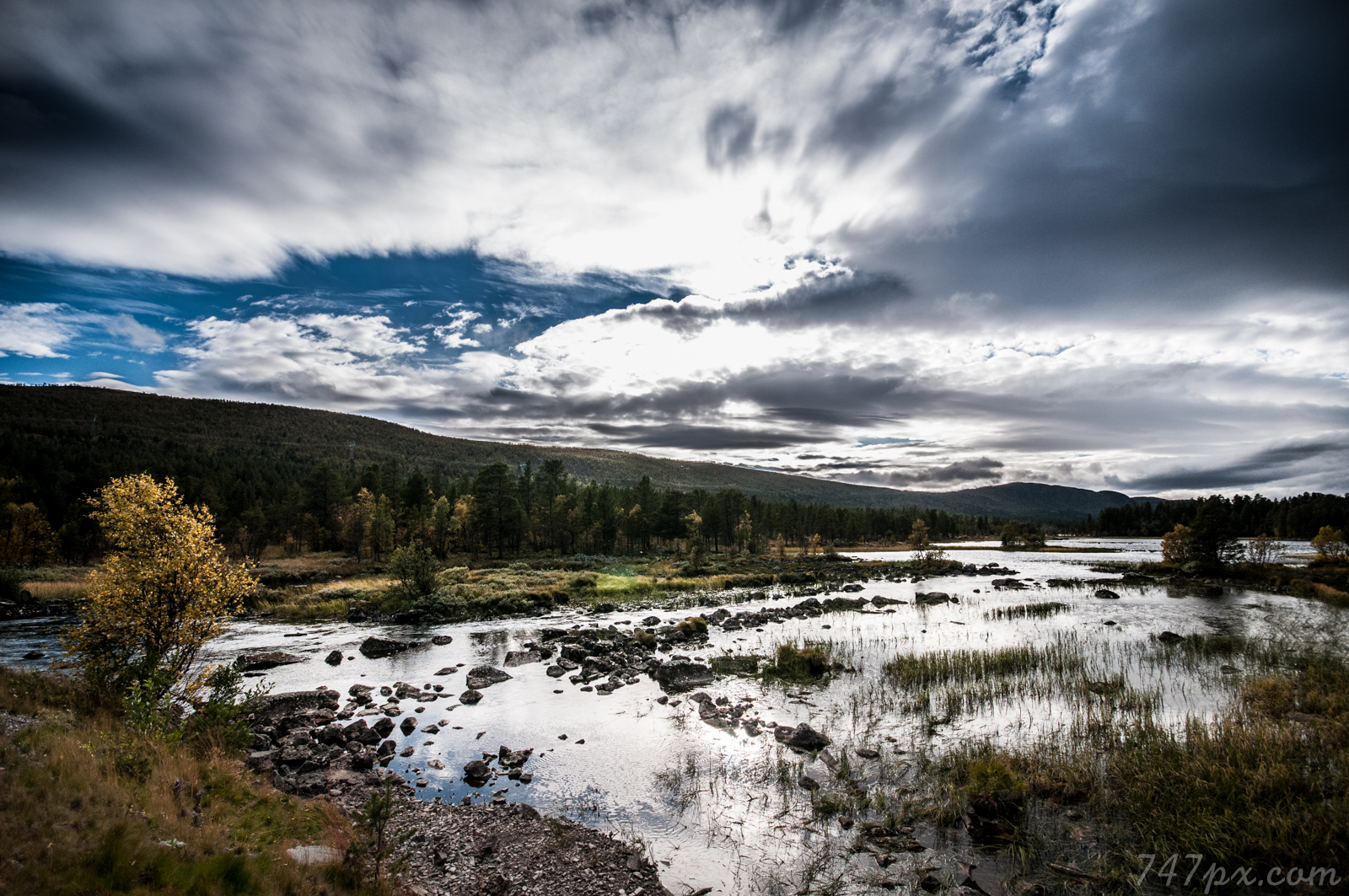
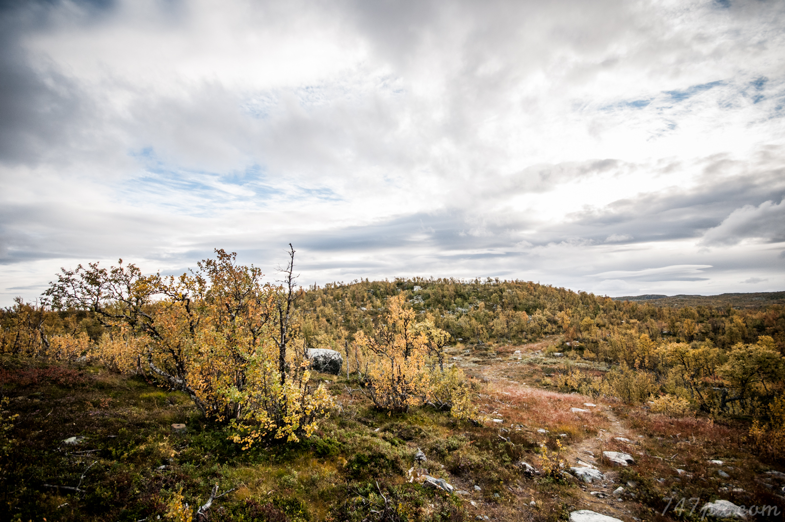
Winter Landscape
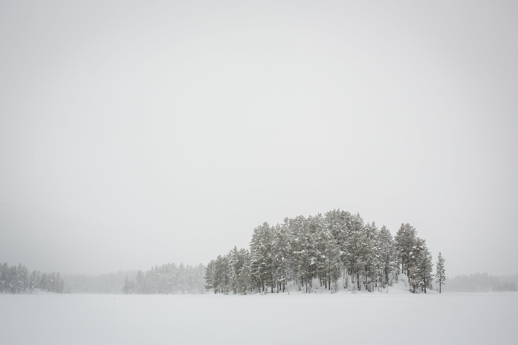
Winter Landscape
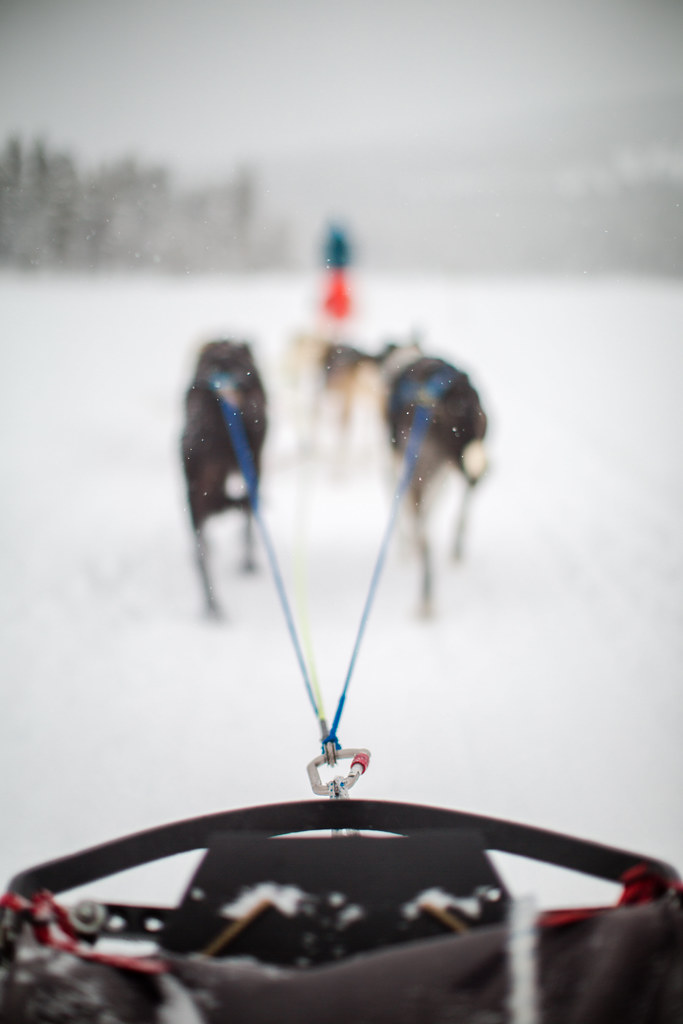
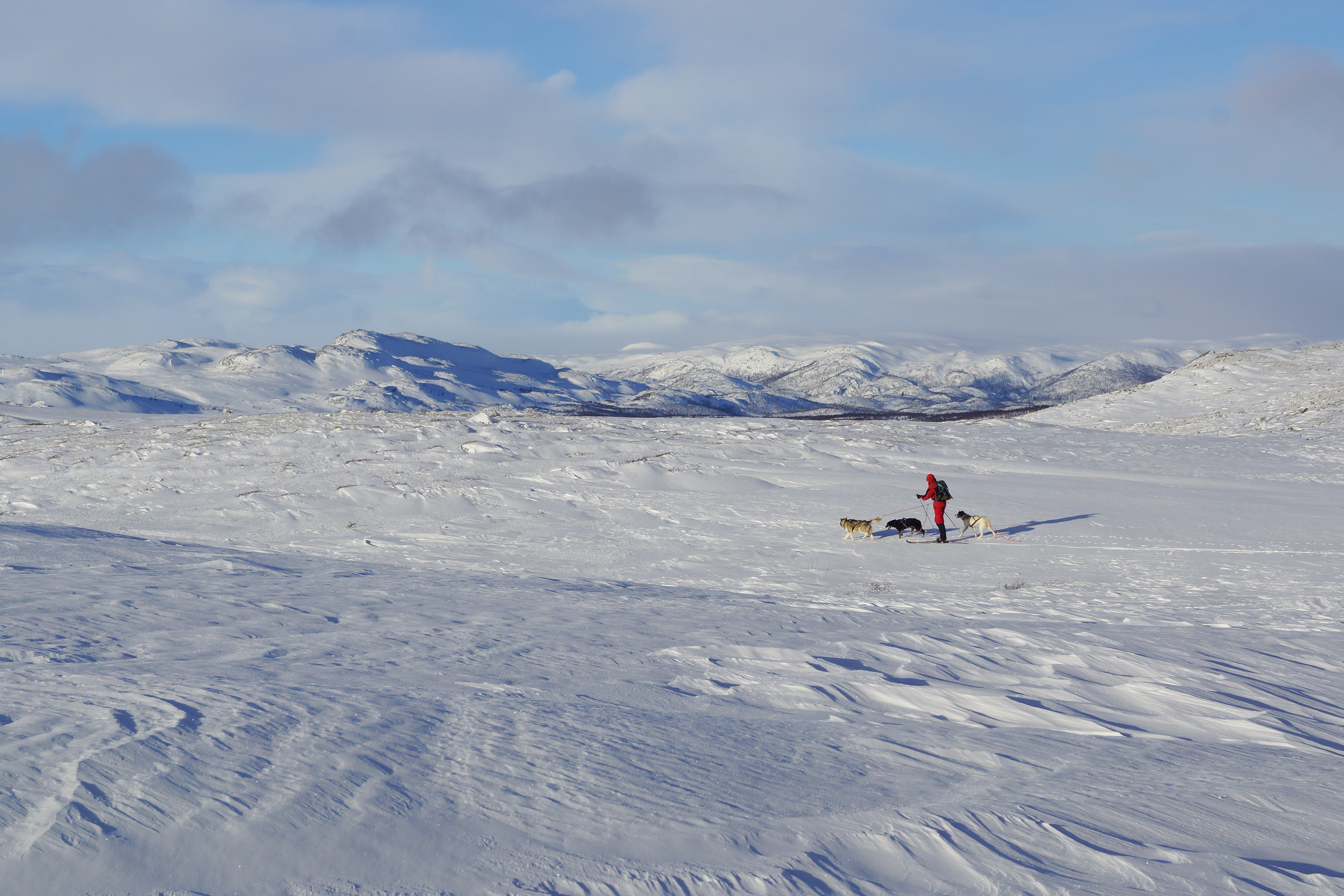
Dog Sleigh
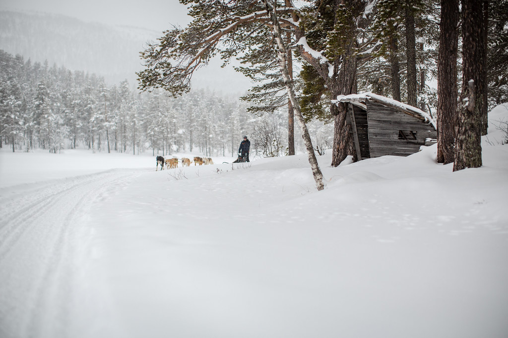
Dog Sleigh
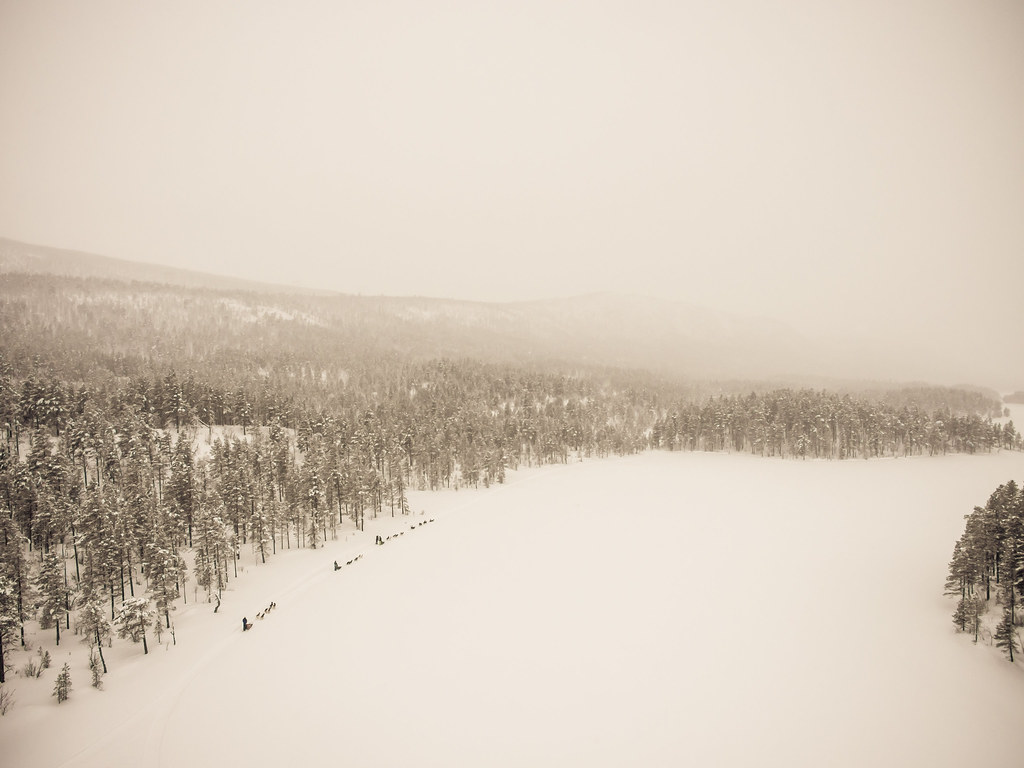
Dog Sleigh
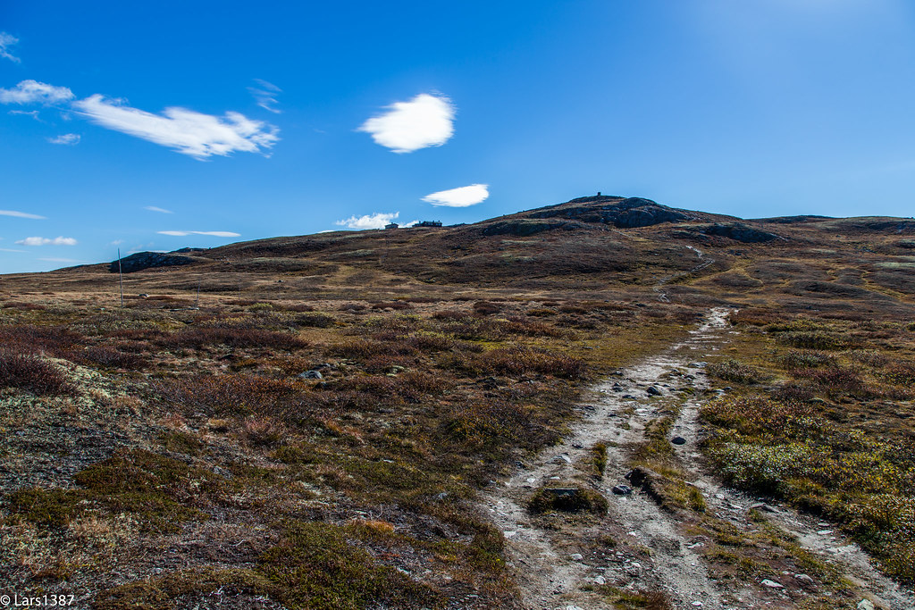
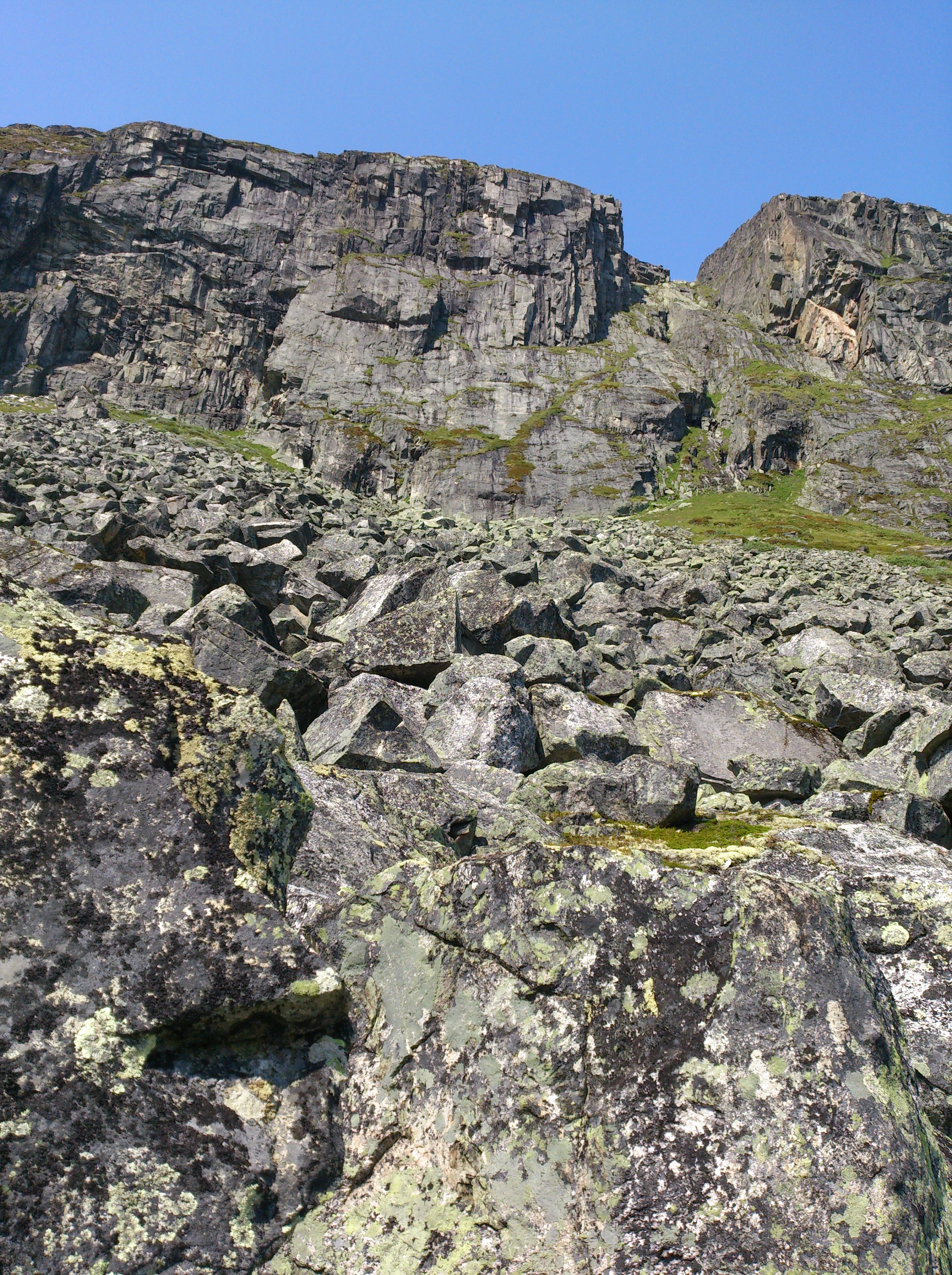
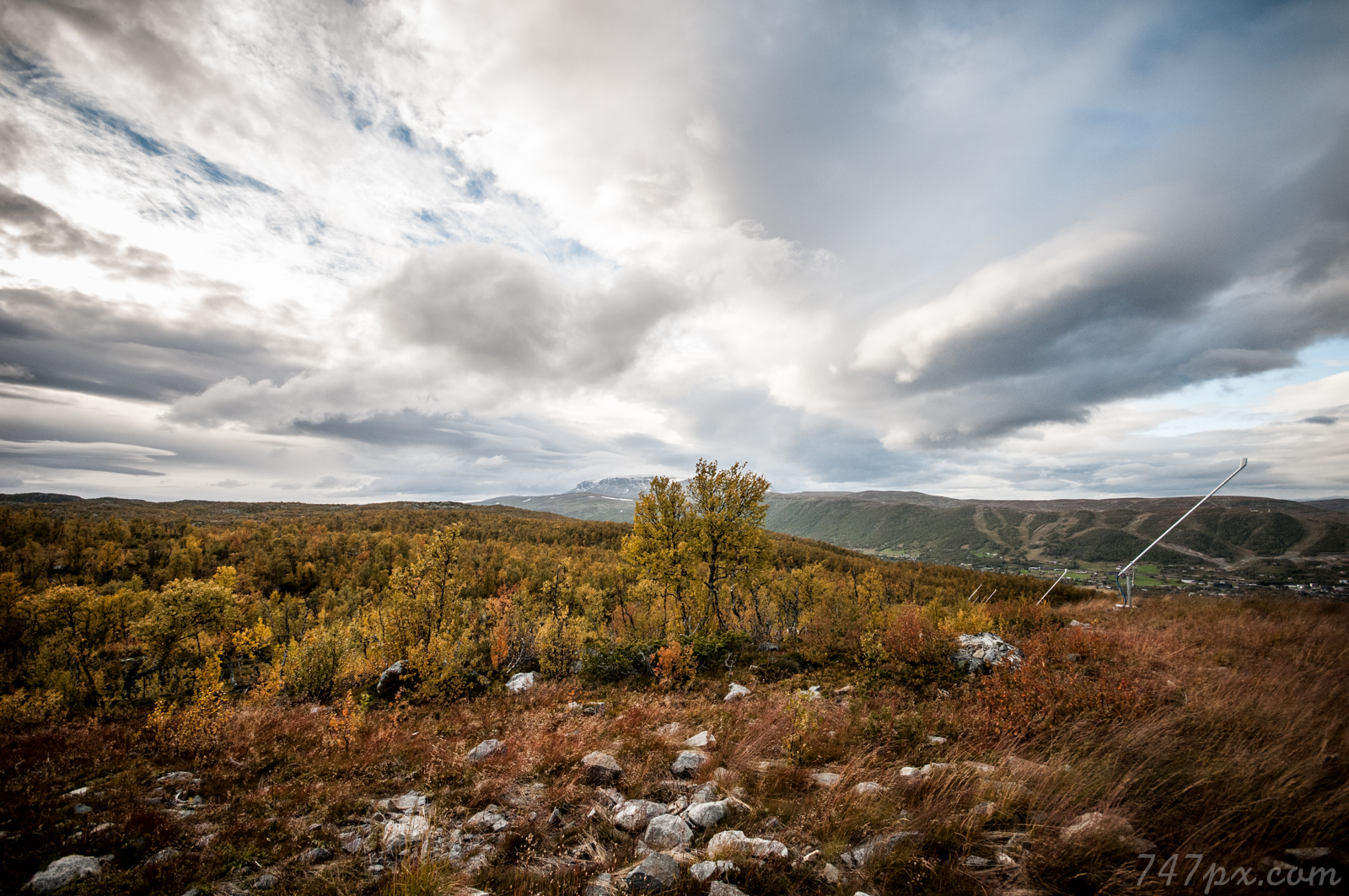
The View Up
The View Down
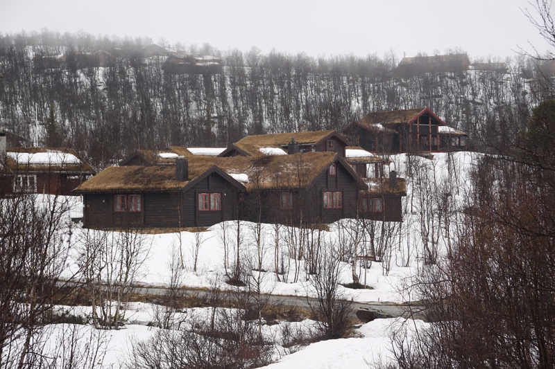
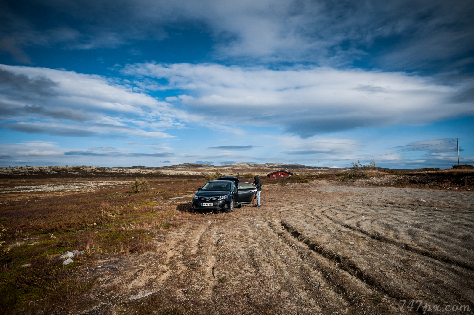
Norway house
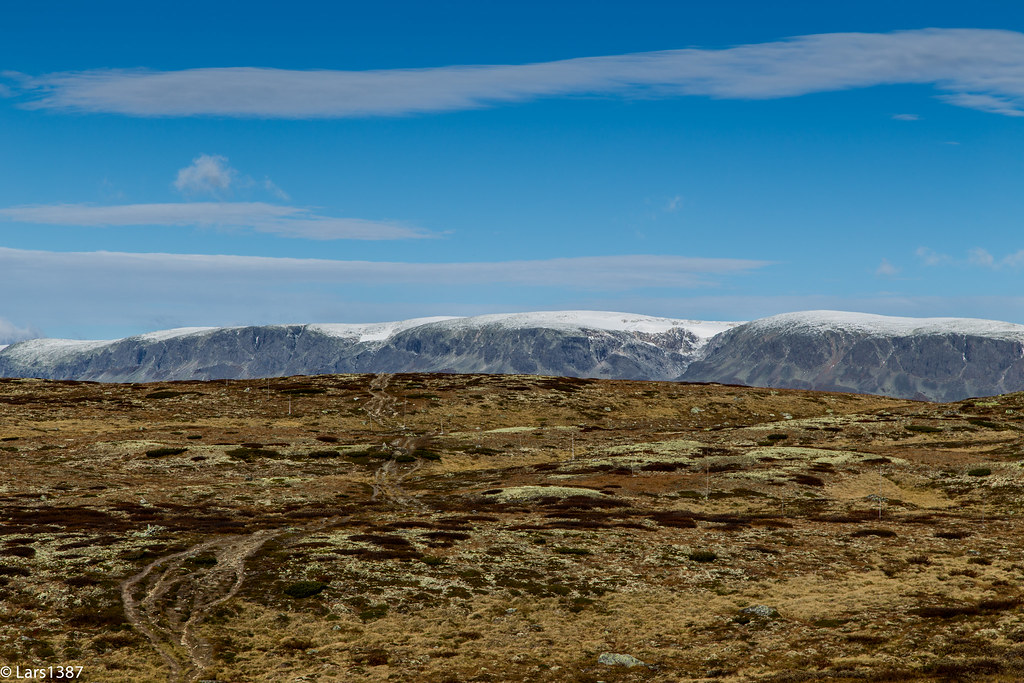
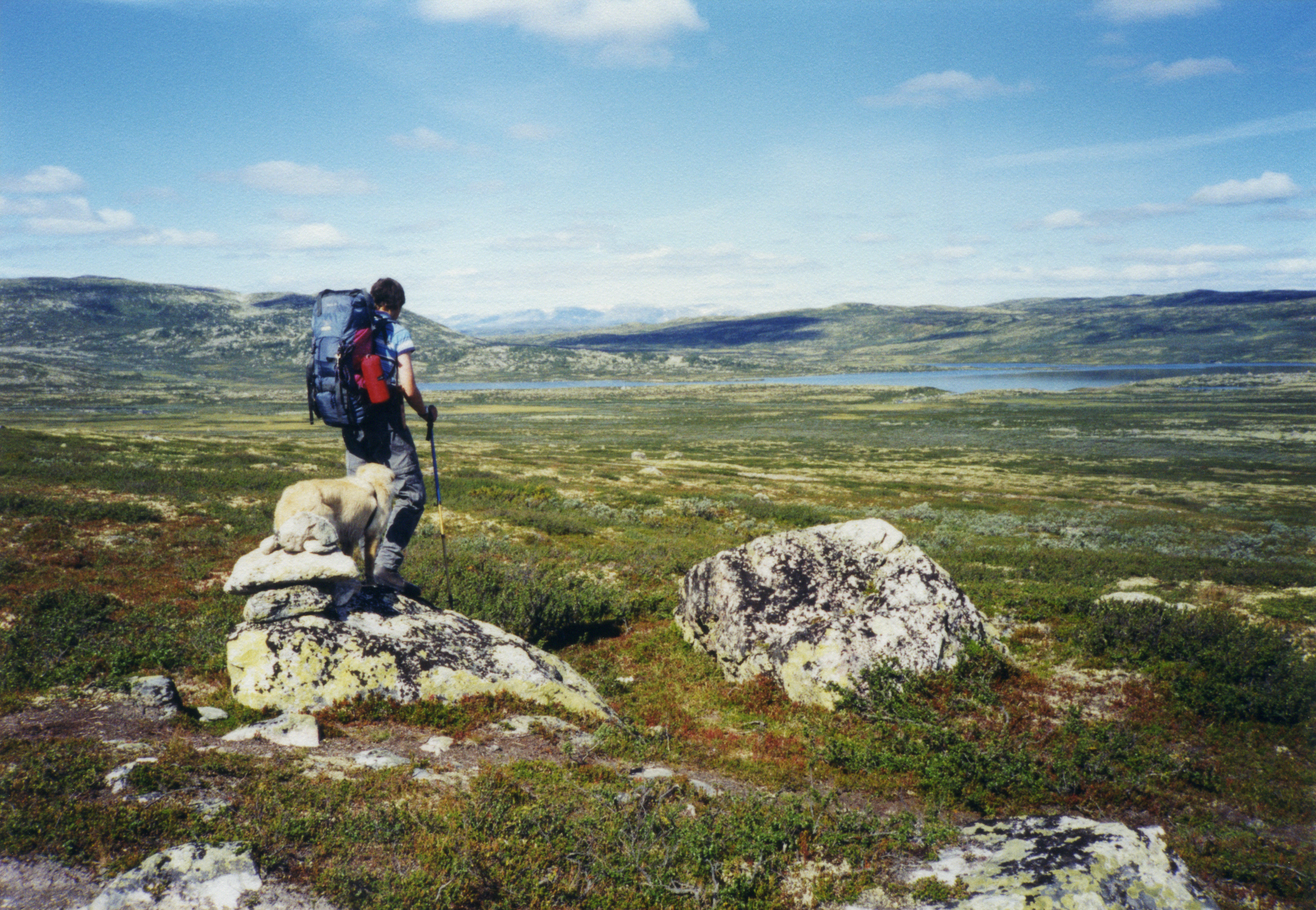
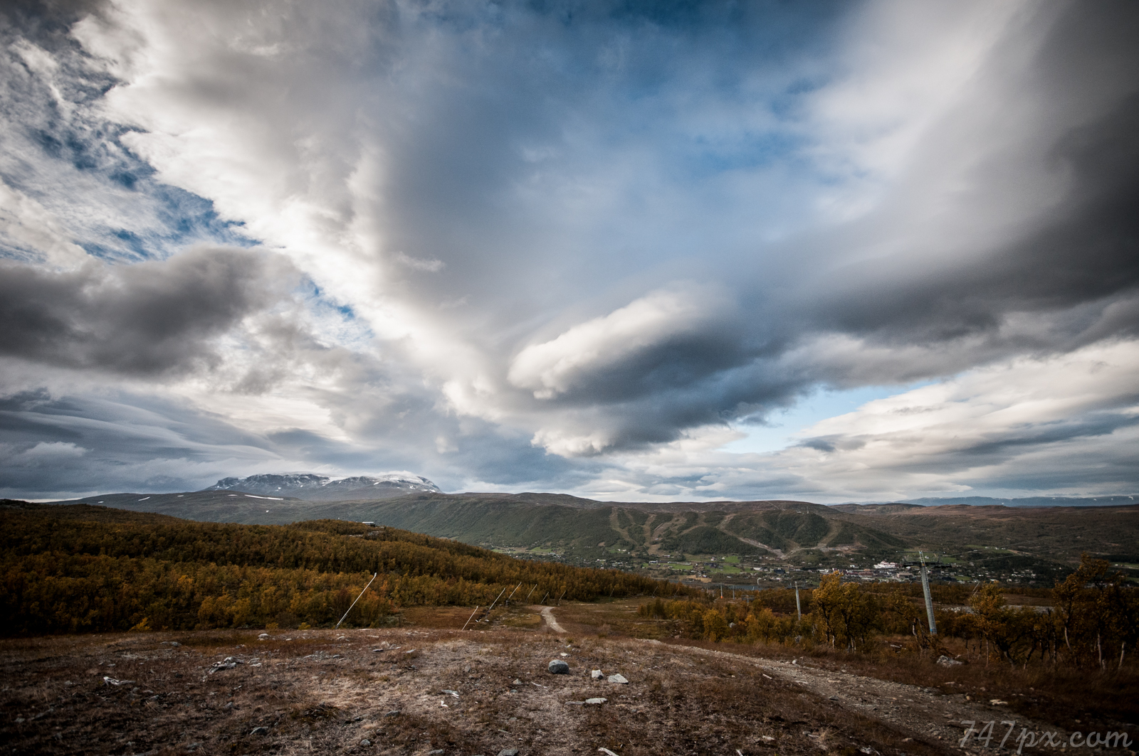
Rallarvegen view
a retrospective view
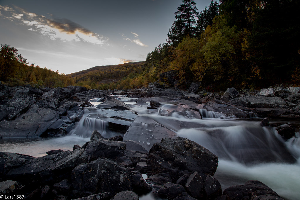
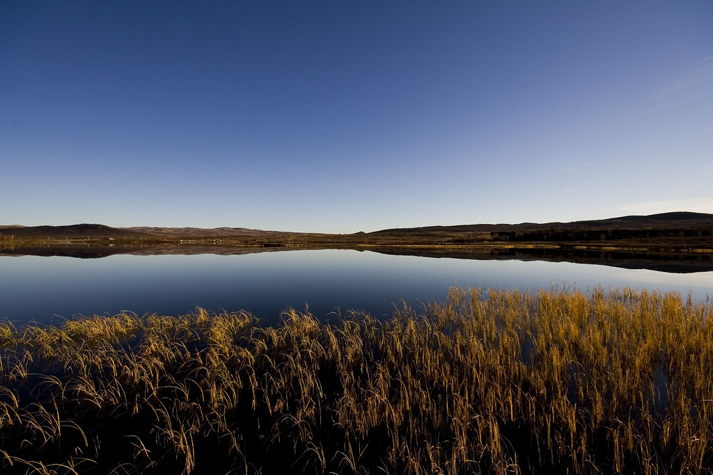
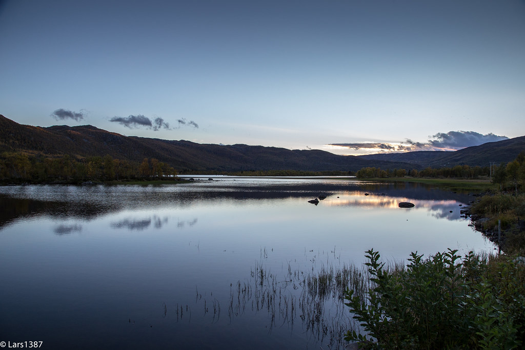
Ustedøla
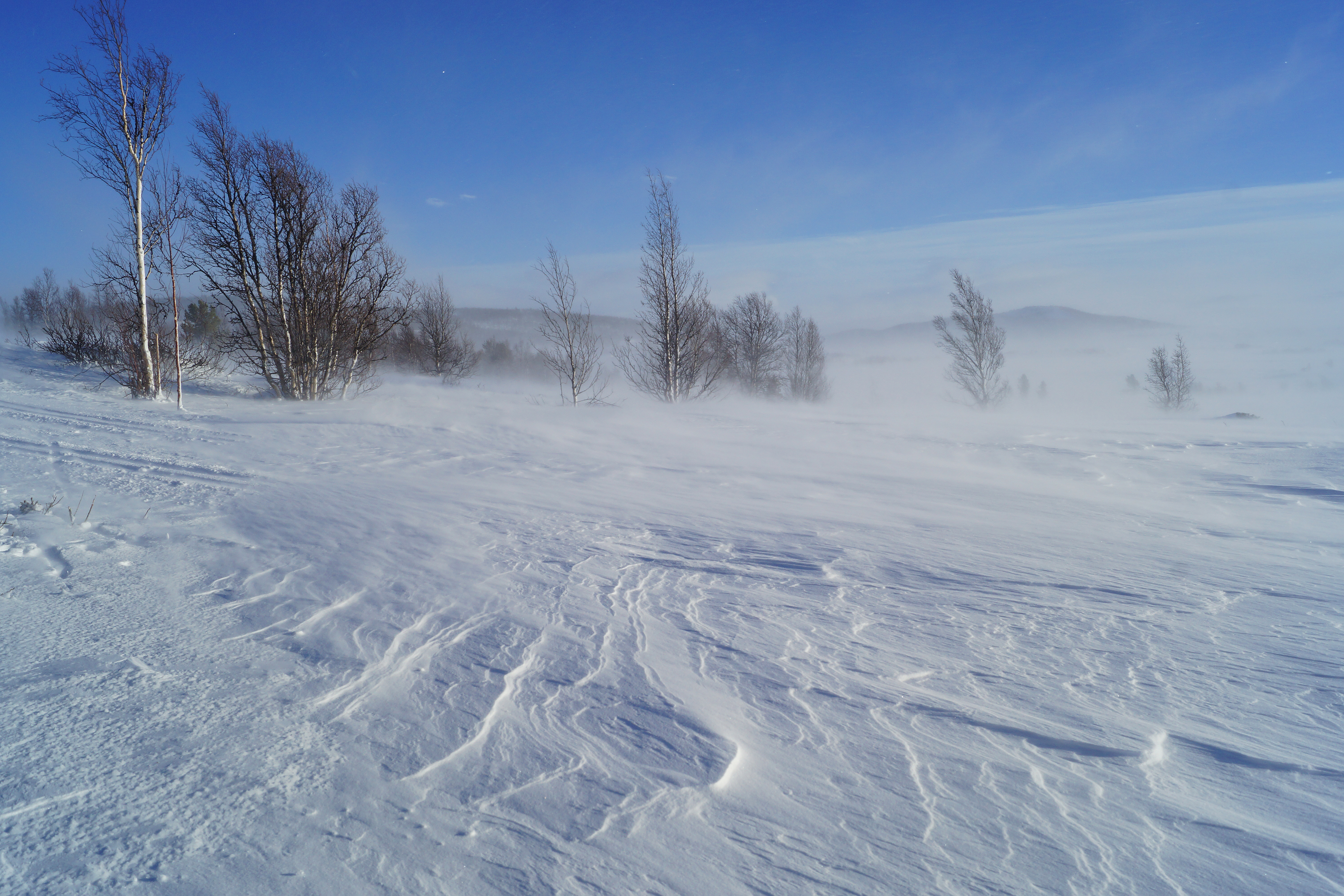
Wind & snow & sunshine
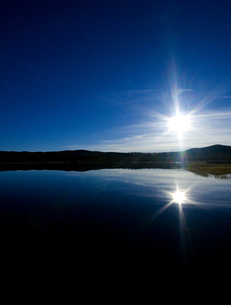
Fall of the Sun
Skiing at Dagalifjell
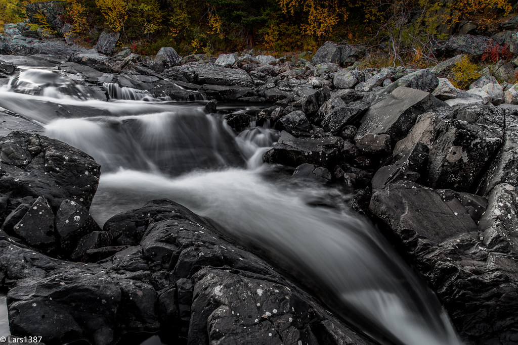
Still perfect
Ustedøla II
20120913[171045].jpg
Veslefjorden - Geilo
20120913[174242].jpg
20120913[164002].jpg

20120913[164231].jpg
20120913[174340].jpg
20120913[163936].jpg
20120913[170859].jpg
20120913[174631].jpg

20120913[163804].jpg

For en fantastisk innspurt på #påsken2014 #Barisvær både idag og igår! #solbrent #dnt #ut #tuva
20120913[174352].jpg
20120913[174342].jpg
Topographic Map of Seterdalen, Geilo, Norway
Find elevation by address:

Places near Seterdalen, Geilo, Norway:
Nore Og Uvdal
Fv 24, Rauland, Norway
Rauland Ski Center
Vinje
Seljord
Rauland
Rauland
Dyranut
Rv 30, Rauland, Norway
Dyranut Turisthytta
Dyranut Fjellstova
Rv 10, Rauland, Norway
Selstadgrendi 19, Flatdal, Norway
Hardangervidda National Park
Eidfjord
Maurset
Haukeli
Eidsborg
Dalen
Vøringfossen
Recent Searches:
- Elevation of Corso Fratelli Cairoli, 35, Macerata MC, Italy
- Elevation of Tallevast Rd, Sarasota, FL, USA
- Elevation of 4th St E, Sonoma, CA, USA
- Elevation of Black Hollow Rd, Pennsdale, PA, USA
- Elevation of Oakland Ave, Williamsport, PA, USA
- Elevation of Pedrógão Grande, Portugal
- Elevation of Klee Dr, Martinsburg, WV, USA
- Elevation of Via Roma, Pieranica CR, Italy
- Elevation of Tavkvetili Mountain, Georgia
- Elevation of Hartfords Bluff Cir, Mt Pleasant, SC, USA