Elevation of Serranía del Perijá, Colombia
Location: Colombia >
Longitude: -72.957778
Latitude: 10.016389
Elevation: 3023m / 9918feet
Barometric Pressure: 70KPa
Elevation Map:
Satellite Map:
Related Photos:
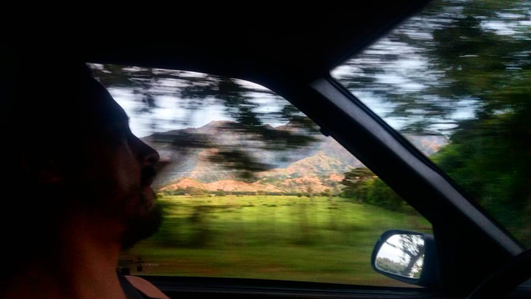
Regresando a Bogota desde la Samaria
Topographic Map of Serranía del Perijá, Colombia
Find elevation by address:

Places near Serranía del Perijá, Colombia:
Recent Searches:
- Elevation of Corso Fratelli Cairoli, 35, Macerata MC, Italy
- Elevation of Tallevast Rd, Sarasota, FL, USA
- Elevation of 4th St E, Sonoma, CA, USA
- Elevation of Black Hollow Rd, Pennsdale, PA, USA
- Elevation of Oakland Ave, Williamsport, PA, USA
- Elevation of Pedrógão Grande, Portugal
- Elevation of Klee Dr, Martinsburg, WV, USA
- Elevation of Via Roma, Pieranica CR, Italy
- Elevation of Tavkvetili Mountain, Georgia
- Elevation of Hartfords Bluff Cir, Mt Pleasant, SC, USA