Elevation of Sembulichanpatti, Tamil Nadu, India
Location: India > Tamil Nadu > Tiruchirappalli >
Longitude: 78.6591988
Latitude: 11.2566386
Elevation: 723m / 2372feet
Barometric Pressure: 93KPa
Elevation Map:
Satellite Map:
Related Photos:

IMG_0805
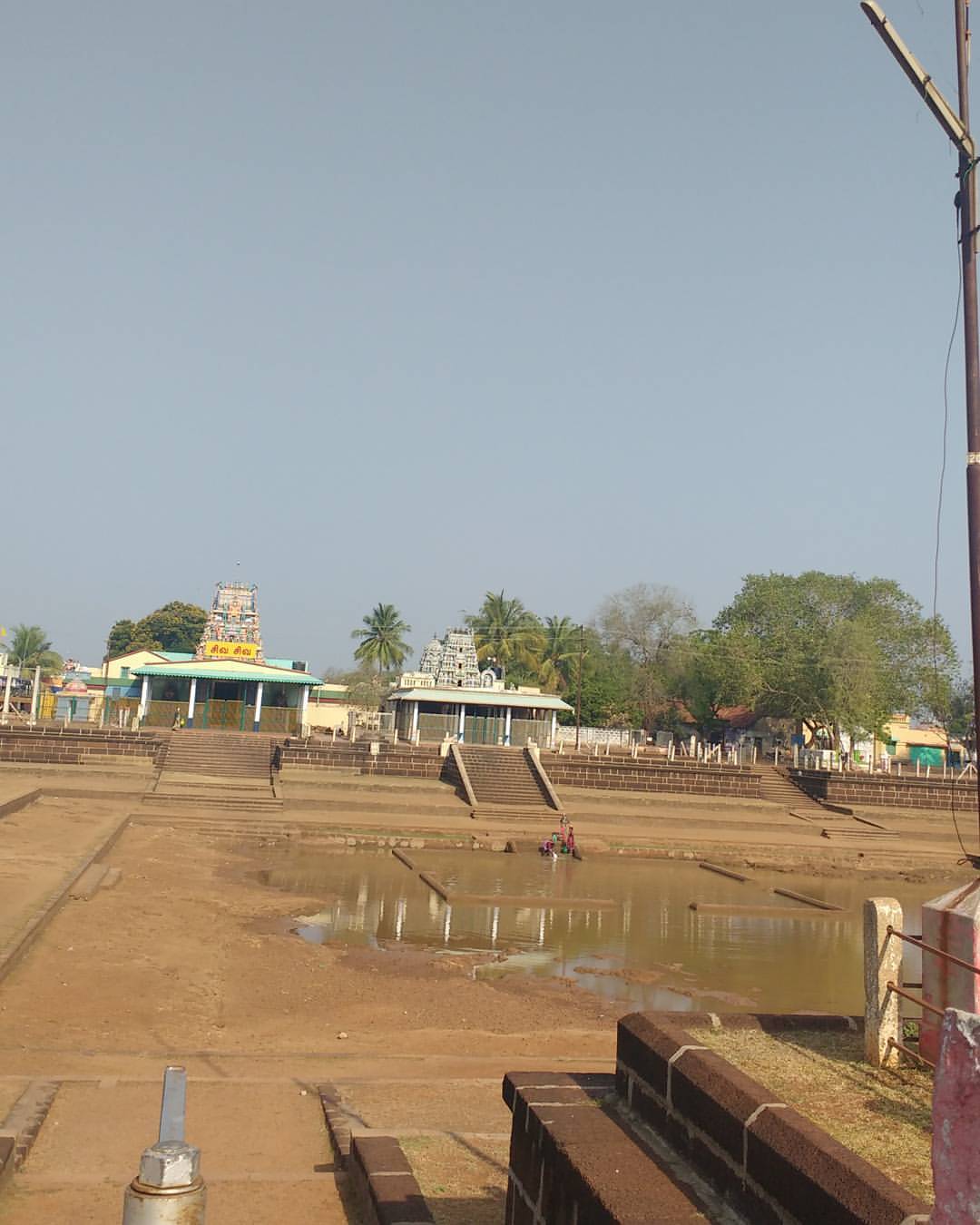
Sivan koil

IN-CS-00095

My hostel....

Afternoon nap
Topographic Map of Sembulichanpatti, Tamil Nadu, India
Find elevation by address:

Places near Sembulichanpatti, Tamil Nadu, India:
Valaiyur R.f.
Vannadu
Sengattur R.f.
Koraiyaru Falls
Karrupankaduthittu R.f.
Kaliamman Koil Thittu R.f.
Mayil Ootru Waterfalls
Malayappatti
Top Sengattupatti
Solamathi R.f.
Mangalam Water Falls
Methagam View Point, Pachamalai
Pachamalai
Pachamalai Hill
Kanapadikannimar-sholai R.f.
Kokkuvarai View Point
Shri Perumal Temple,punavarai
Neivasal Malai Perumal Temple
Sobanapuram
T.kanapadi R.f.
Recent Searches:
- Elevation of Corso Fratelli Cairoli, 35, Macerata MC, Italy
- Elevation of Tallevast Rd, Sarasota, FL, USA
- Elevation of 4th St E, Sonoma, CA, USA
- Elevation of Black Hollow Rd, Pennsdale, PA, USA
- Elevation of Oakland Ave, Williamsport, PA, USA
- Elevation of Pedrógão Grande, Portugal
- Elevation of Klee Dr, Martinsburg, WV, USA
- Elevation of Via Roma, Pieranica CR, Italy
- Elevation of Tavkvetili Mountain, Georgia
- Elevation of Hartfords Bluff Cir, Mt Pleasant, SC, USA