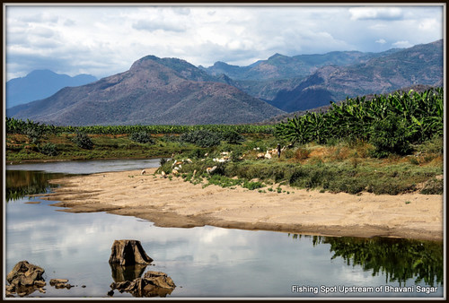
Elevation of Sellappavpalayam, Tamil Nadu, India
Location: India > Tamil Nadu > Coimbatore >
Longitude: 77.1470783
Latitude: 11.3143016
Elevation: 334m / 1096feet
Barometric Pressure: 97KPa
Related Photos:
Topographic Map of Sellappavpalayam, Tamil Nadu, India
Find elevation by address:

Places near Sellappavpalayam, Tamil Nadu, India:
Nambiyur
Odanthurai R.f.
Nambiyur
Bhavanisagar View Point
Palapatti View Point
Mettupalayam
Sathyamangalam
Sathyamangalam Bridge
Kadinamala
Mettupalayam View Point
Vanamala Farm
Odanthurai
Kunjappanai Post Office
Kotagiri Checkpost
Sholurmattam Main Bazzar
Sholurmattam
Maamaram
Banari
Denad
Kil Kotagiri
Recent Searches:
- Elevation of Corso Fratelli Cairoli, 35, Macerata MC, Italy
- Elevation of Tallevast Rd, Sarasota, FL, USA
- Elevation of 4th St E, Sonoma, CA, USA
- Elevation of Black Hollow Rd, Pennsdale, PA, USA
- Elevation of Oakland Ave, Williamsport, PA, USA
- Elevation of Pedrógão Grande, Portugal
- Elevation of Klee Dr, Martinsburg, WV, USA
- Elevation of Via Roma, Pieranica CR, Italy
- Elevation of Tavkvetili Mountain, Georgia
- Elevation of Hartfords Bluff Cir, Mt Pleasant, SC, USA


