Elevation of Sekolah Kebangsaan Magandai, Kota Marudu, Sabah, Malaysia
Location: Malaysia > Sabah > Kota Marudu >
Longitude: 117.047472
Latitude: 6.4333581
Elevation: 258m / 846feet
Barometric Pressure: 98KPa
Elevation Map:
Satellite Map:
Related Photos:

Mt. Kinabalu Nationalpark

Mt. Kinabalu Nationalpark
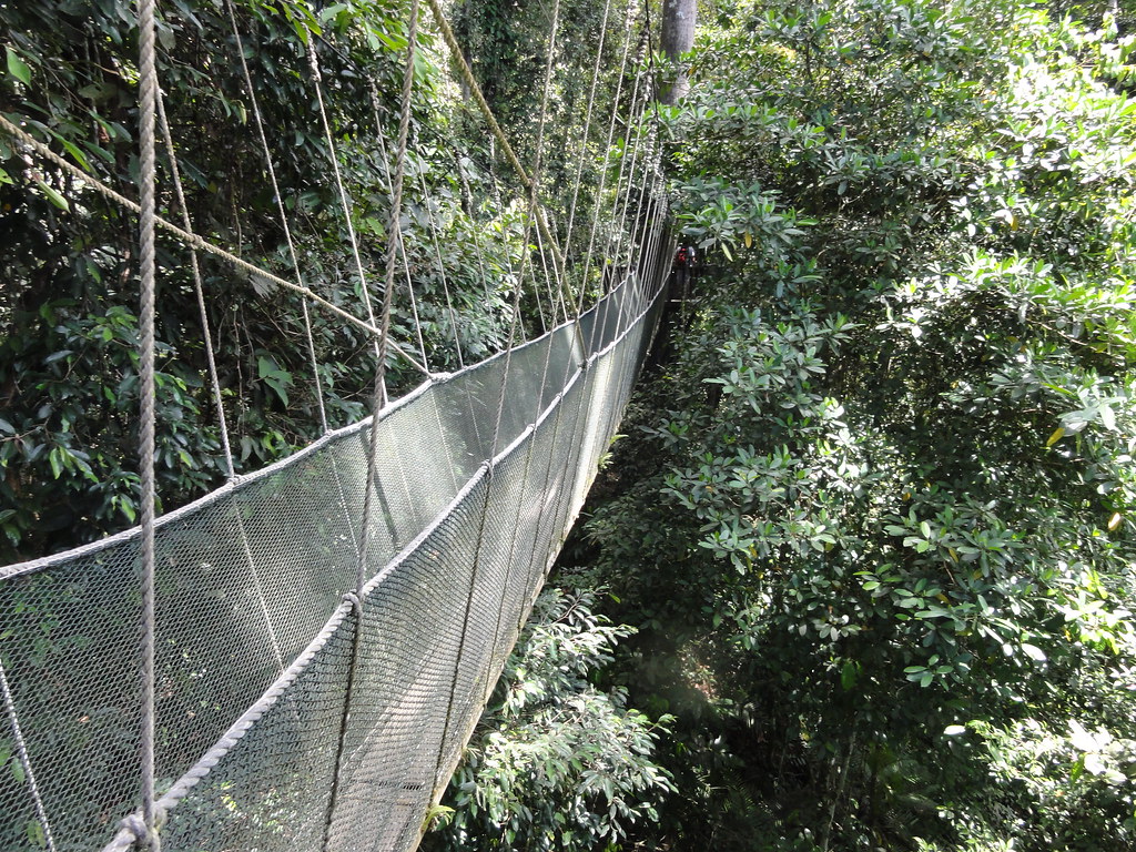
Mt. Kinabalu Nationalpark

Sapi Island
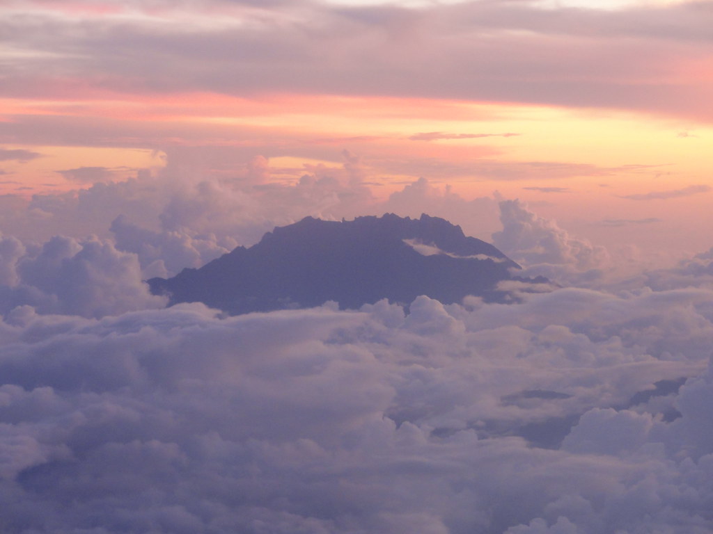
Mt. Kinabalu
Topographic Map of Sekolah Kebangsaan Magandai, Kota Marudu, Sabah, Malaysia
Find elevation by address:

Places near Sekolah Kebangsaan Magandai, Kota Marudu, Sabah, Malaysia:
Sungai Bengkoka
Kota Marudu
Kudat
Sabah Tea Resort Cottage
Beluran
Sk Batu 16 Gum-gum
Sepilok Forest Reserve
Sandakan Memorial Park
7509, Jalan Karamunting
Tm Bukit Trig, Sandakan
Jalan Bukit Trig
Sandakan
Bahagian Sandakan
Sandakan
Recent Searches:
- Elevation of Corso Fratelli Cairoli, 35, Macerata MC, Italy
- Elevation of Tallevast Rd, Sarasota, FL, USA
- Elevation of 4th St E, Sonoma, CA, USA
- Elevation of Black Hollow Rd, Pennsdale, PA, USA
- Elevation of Oakland Ave, Williamsport, PA, USA
- Elevation of Pedrógão Grande, Portugal
- Elevation of Klee Dr, Martinsburg, WV, USA
- Elevation of Via Roma, Pieranica CR, Italy
- Elevation of Tavkvetili Mountain, Georgia
- Elevation of Hartfords Bluff Cir, Mt Pleasant, SC, USA