Elevation of Seattle, WA, USA
Location: United States > Washington > King County >
Longitude: -122.33207
Latitude: 47.6062095
Elevation: 56m / 184feet
Barometric Pressure: 101KPa
Elevation Map:
Satellite Map:
Related Photos:
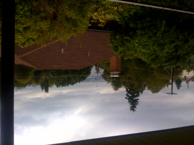
Seattle from the Columbia Tower

University of Washington Medical Center
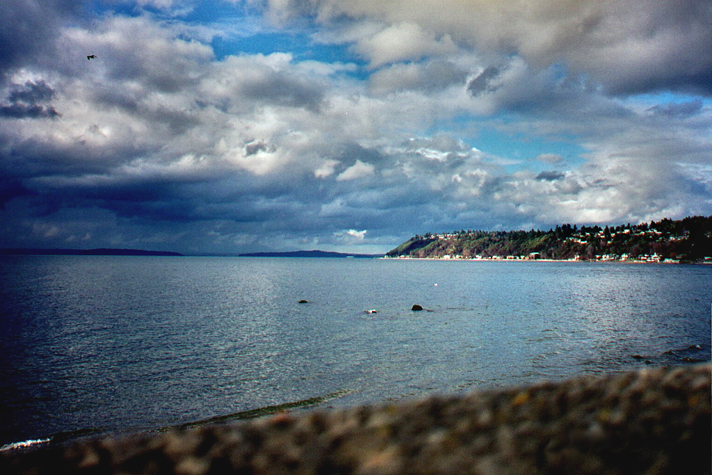
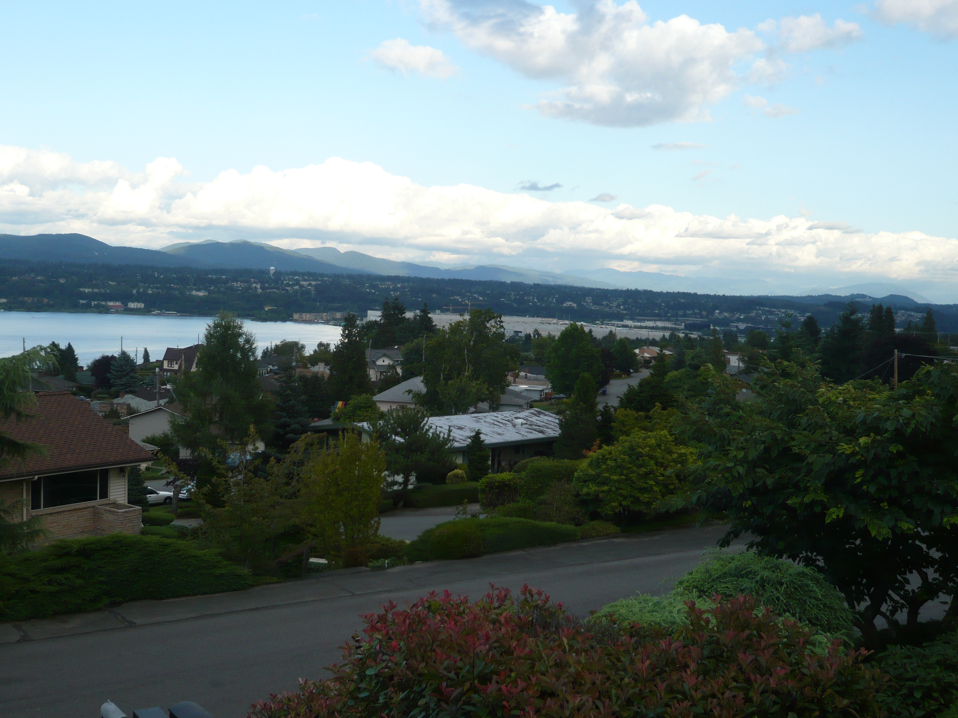
Puget Sound from Seahurst Park

The View @ Alki Beach Park

McMahon Balcony Panorama
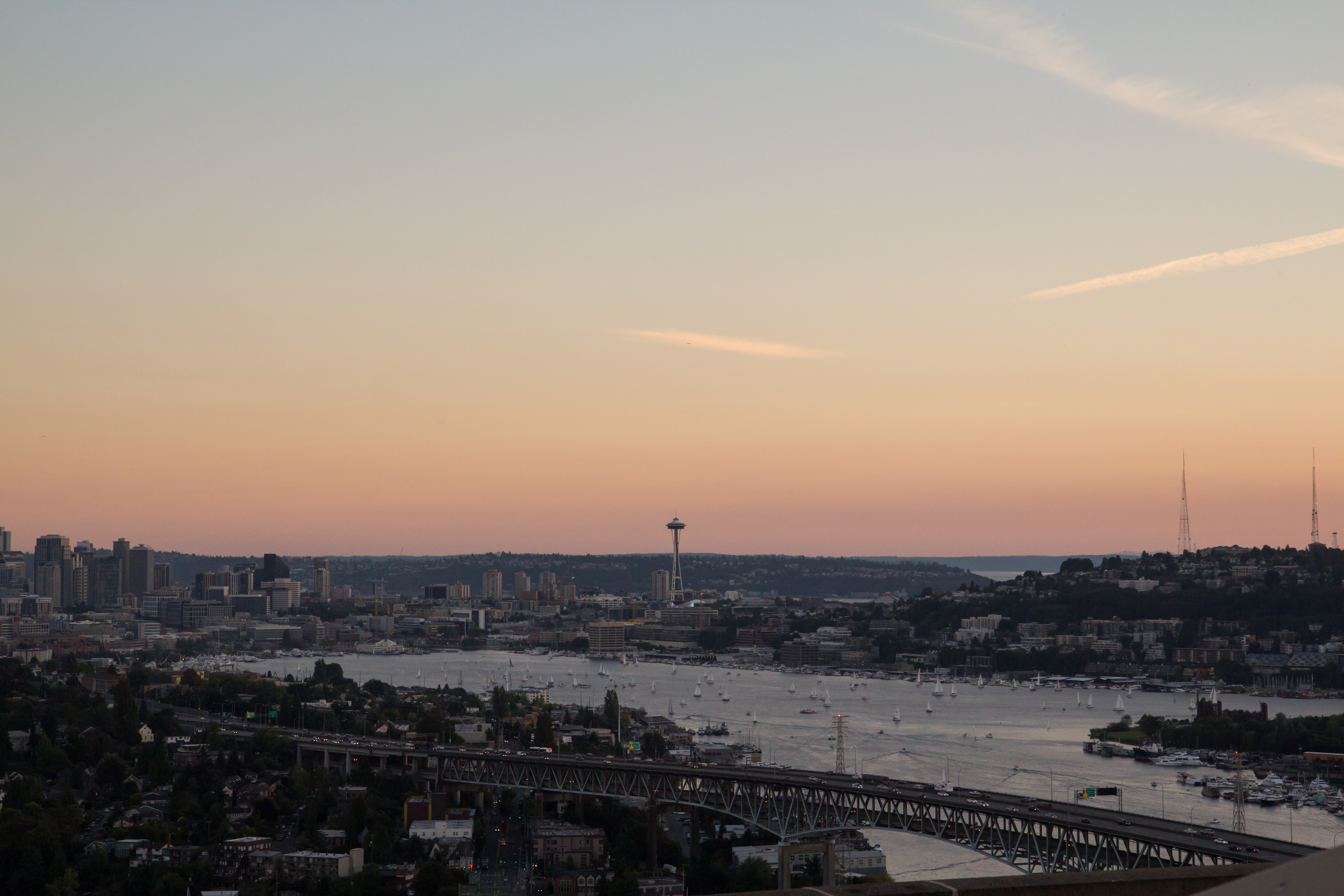
Lake Union Sunset
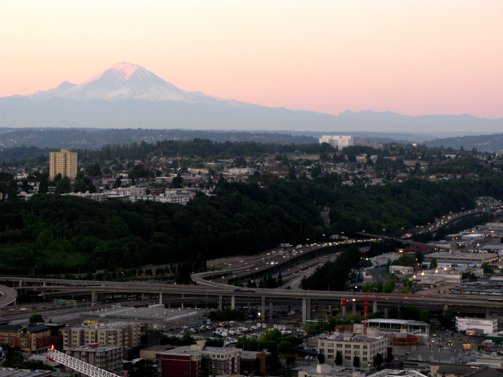
Mt Rainier and Beacon Hill
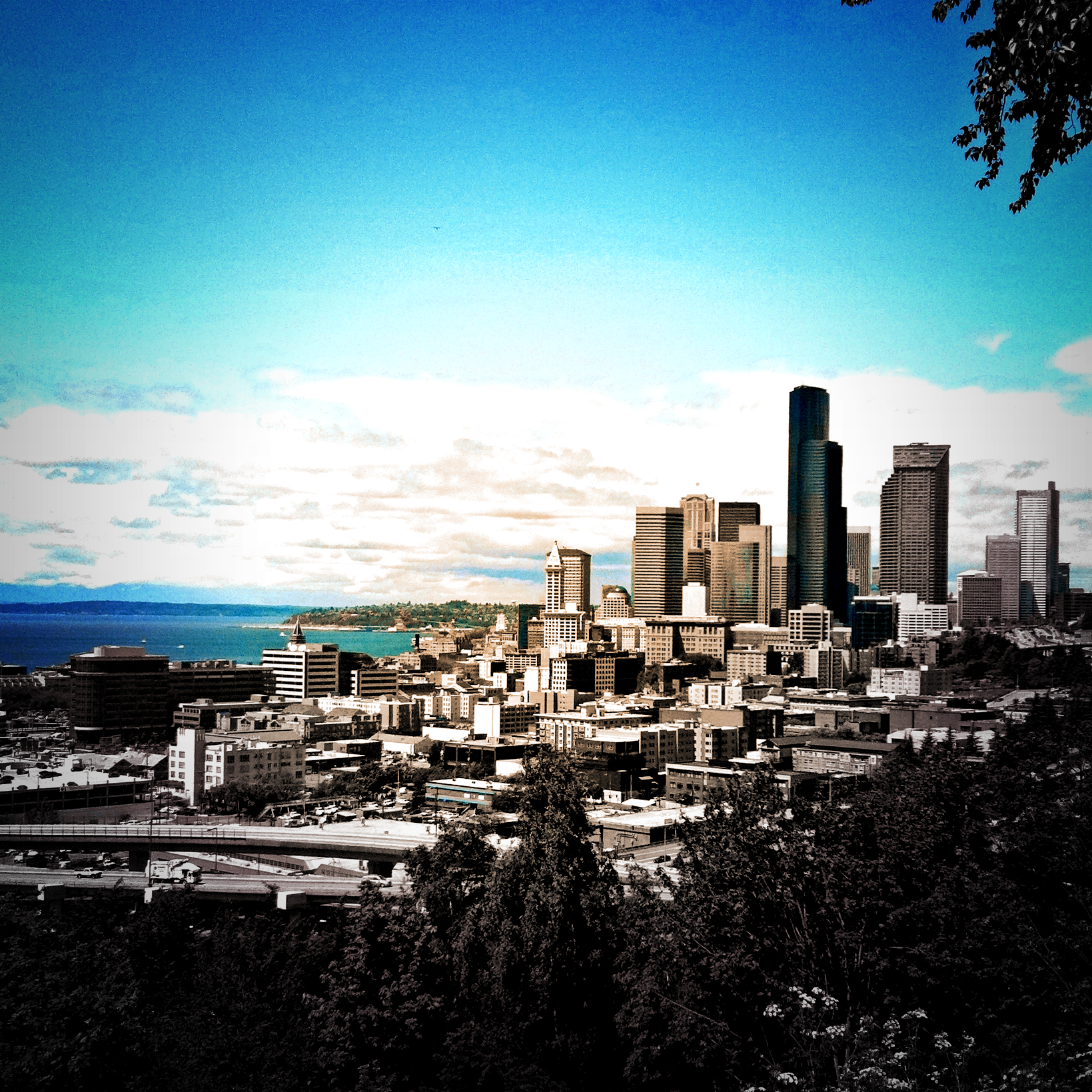
View of Downtown Seattle From Kerry Park, 04.14.13

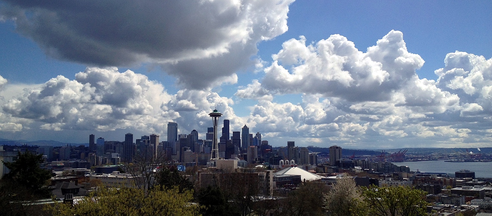
The Seattle Skyline

Seattle at sunset
View from Kerry Park
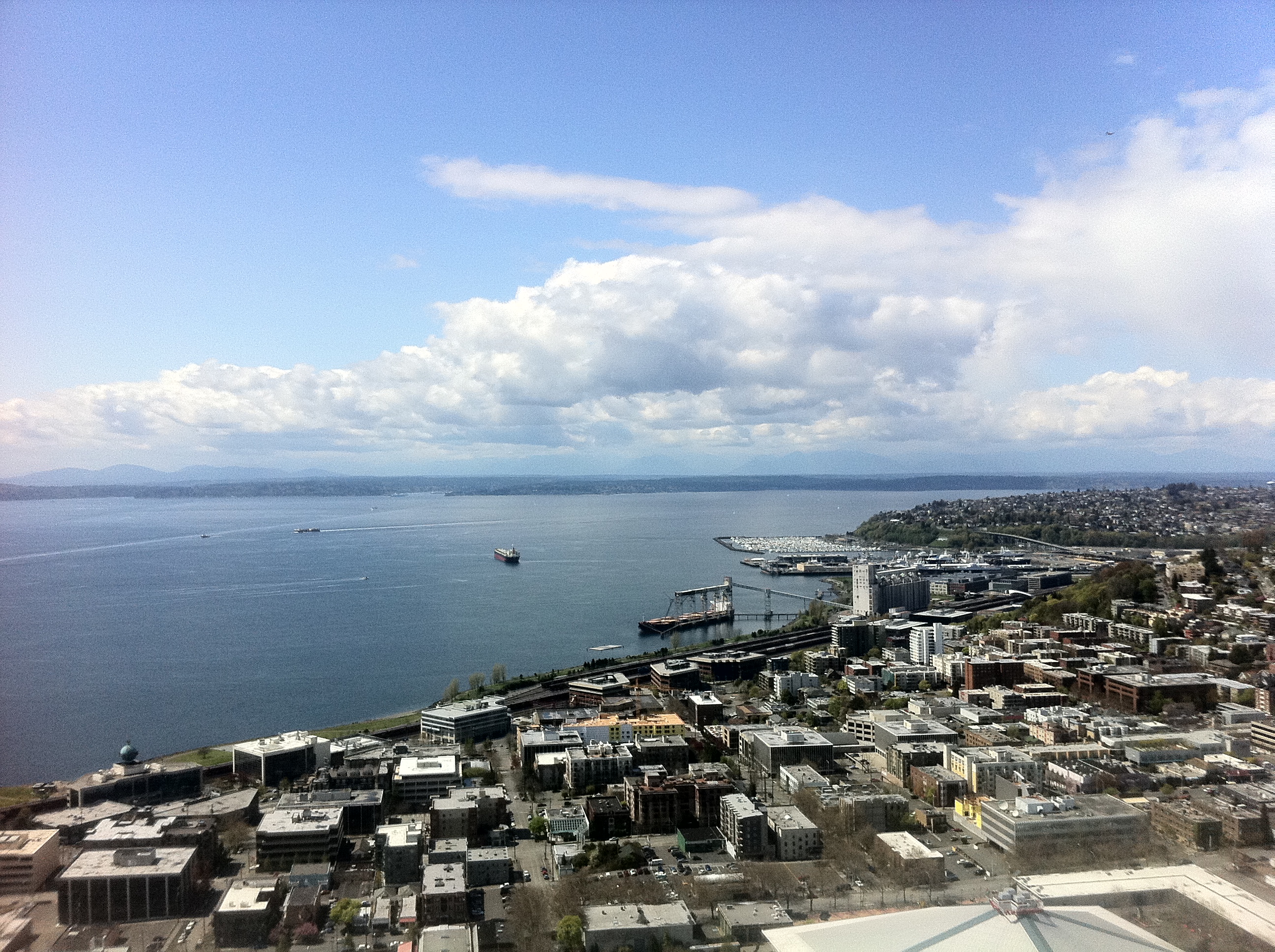
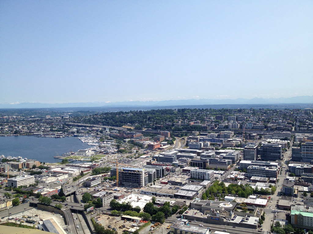
View from the Space Needle

DSC_0654.jpg
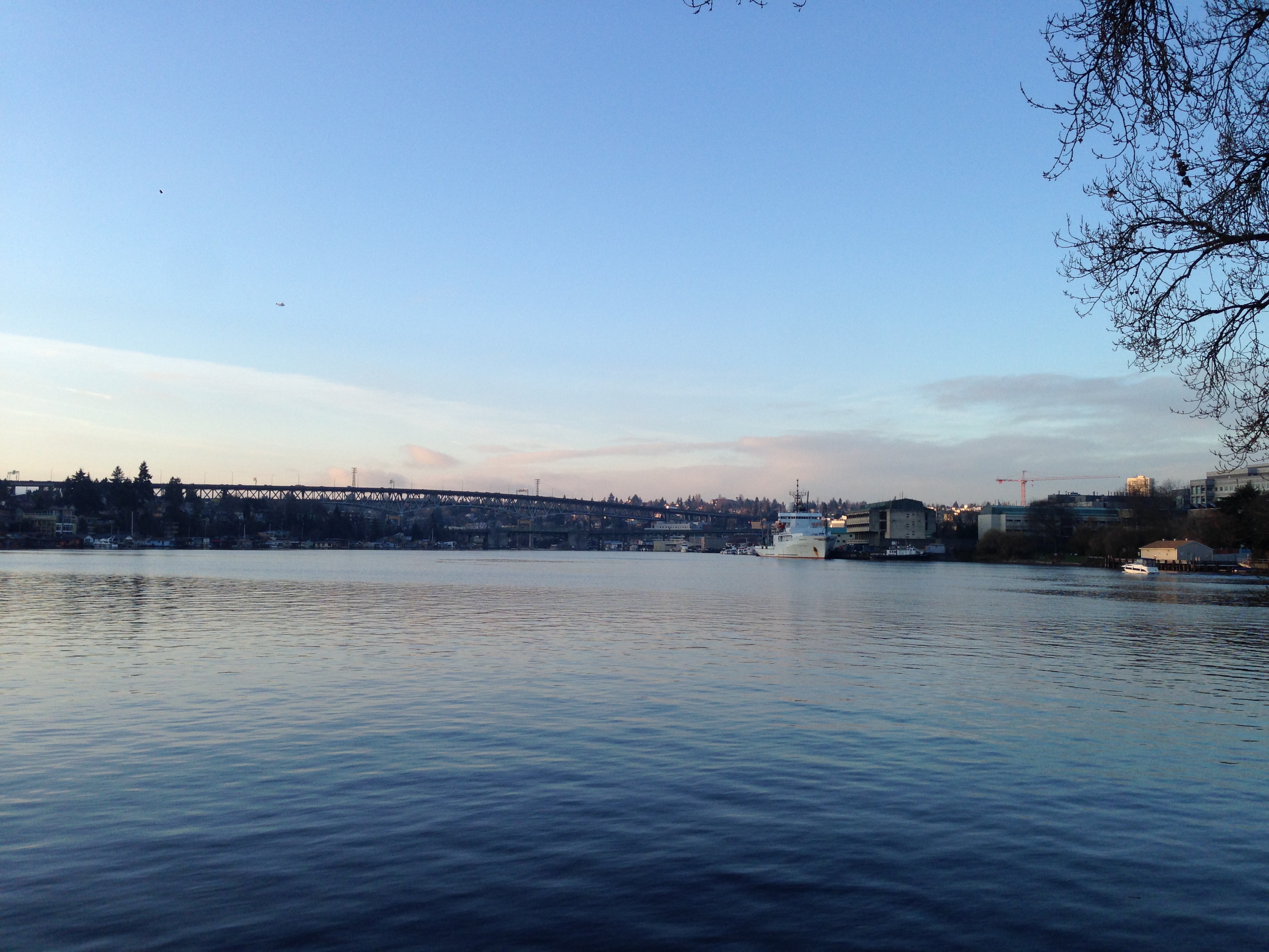
Portage Bay View
Rizal View
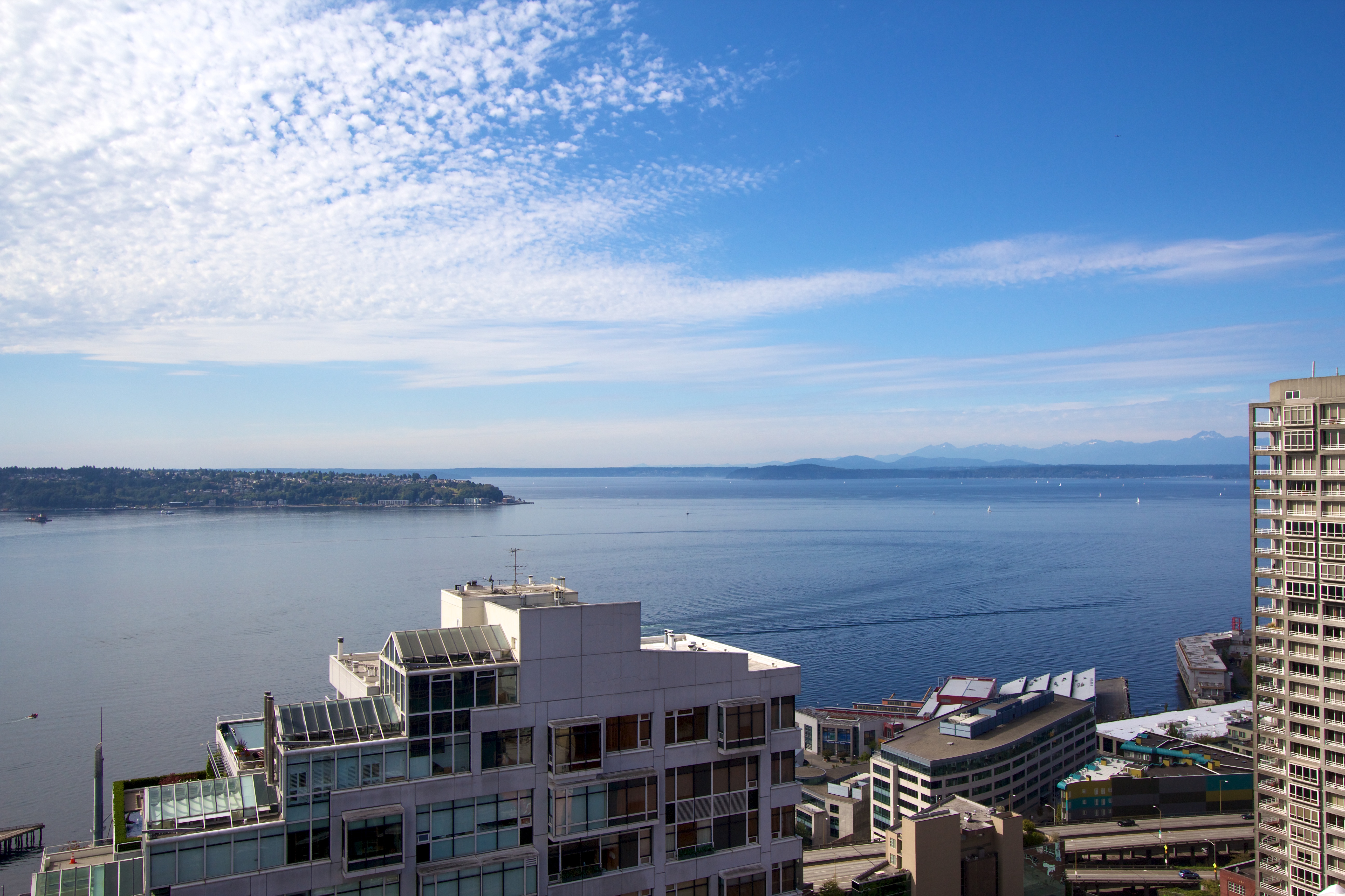
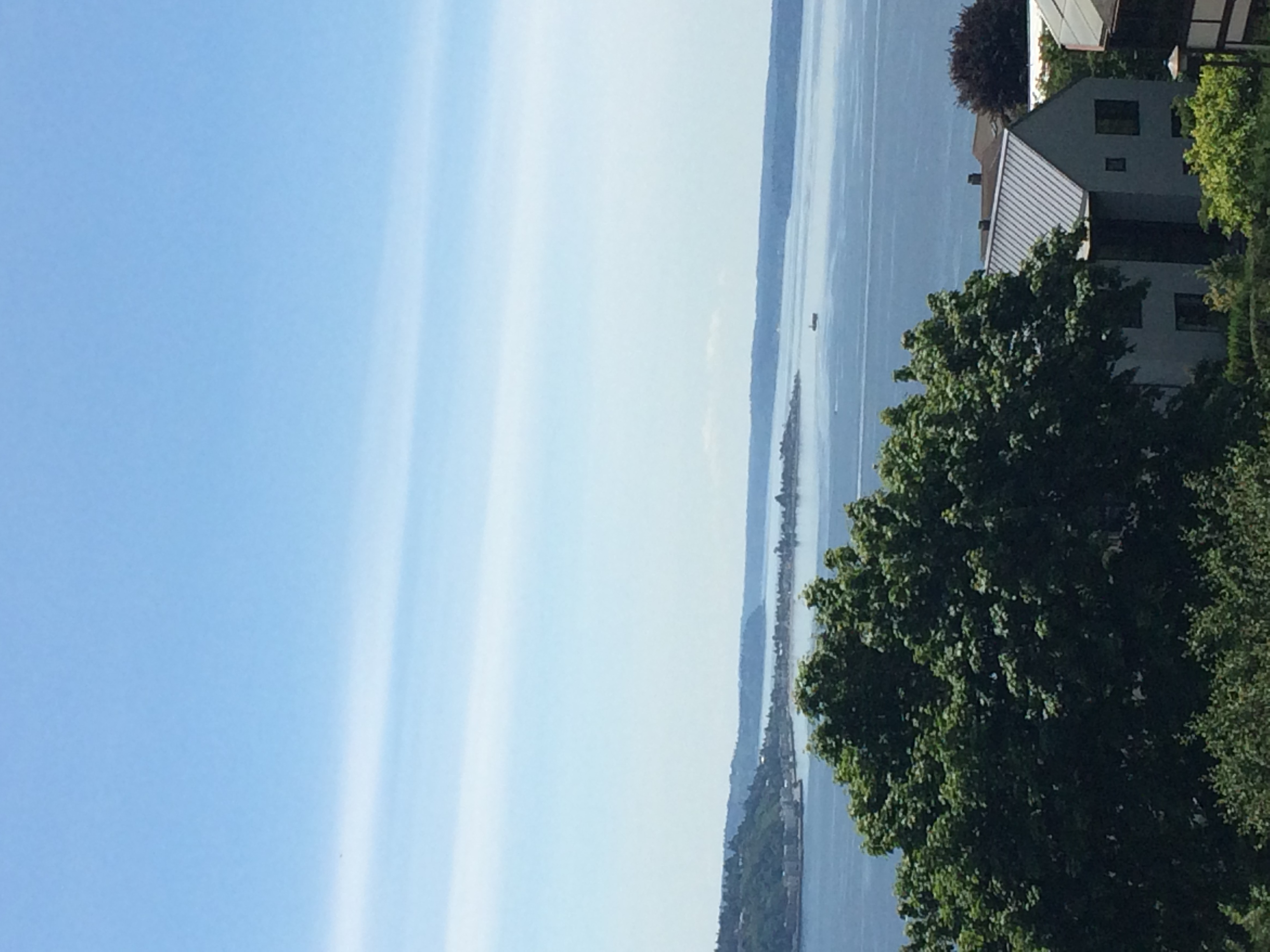
Puget Sound
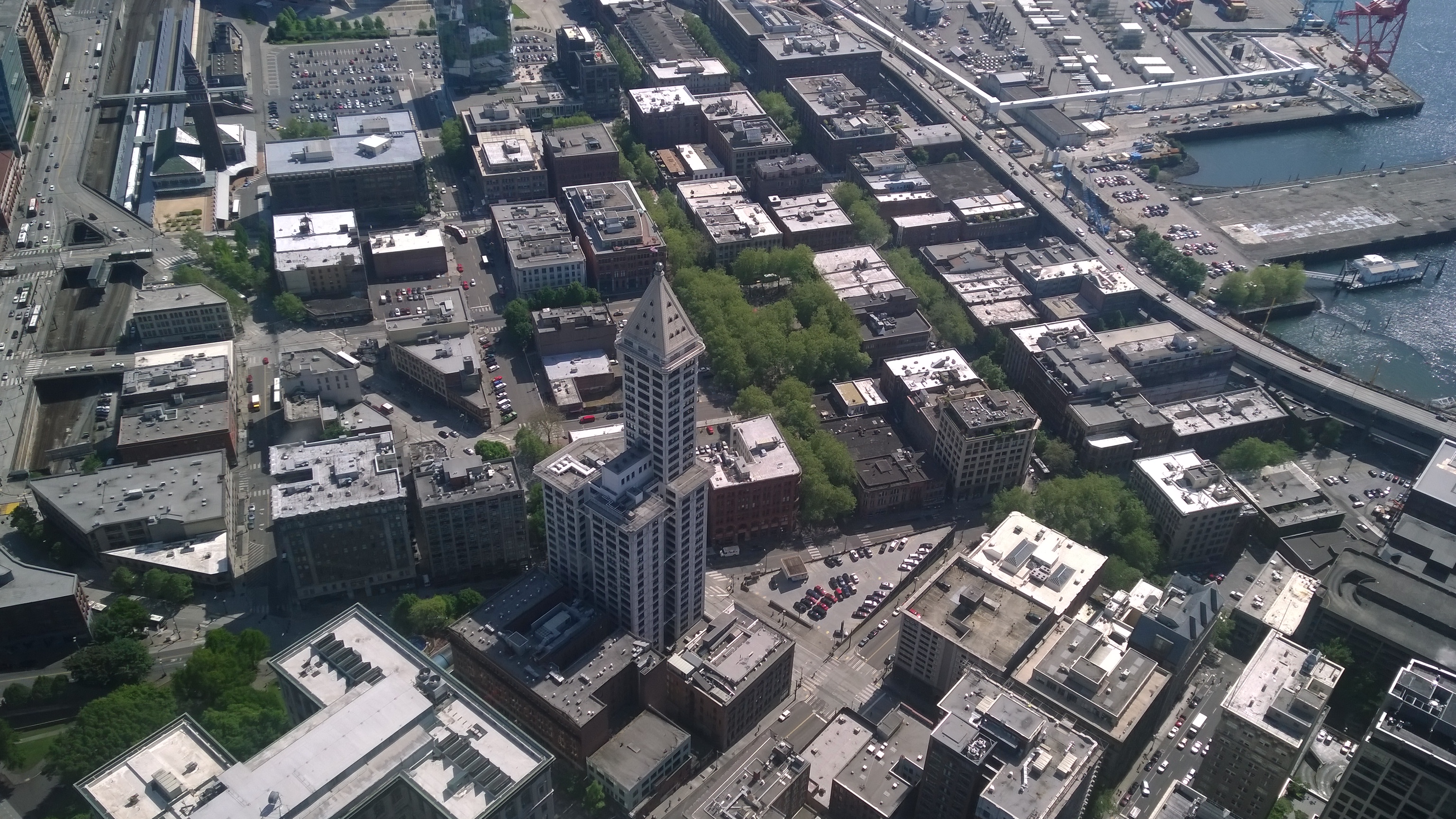
Seattle from the Columbia Tower
View from deck, Seattle

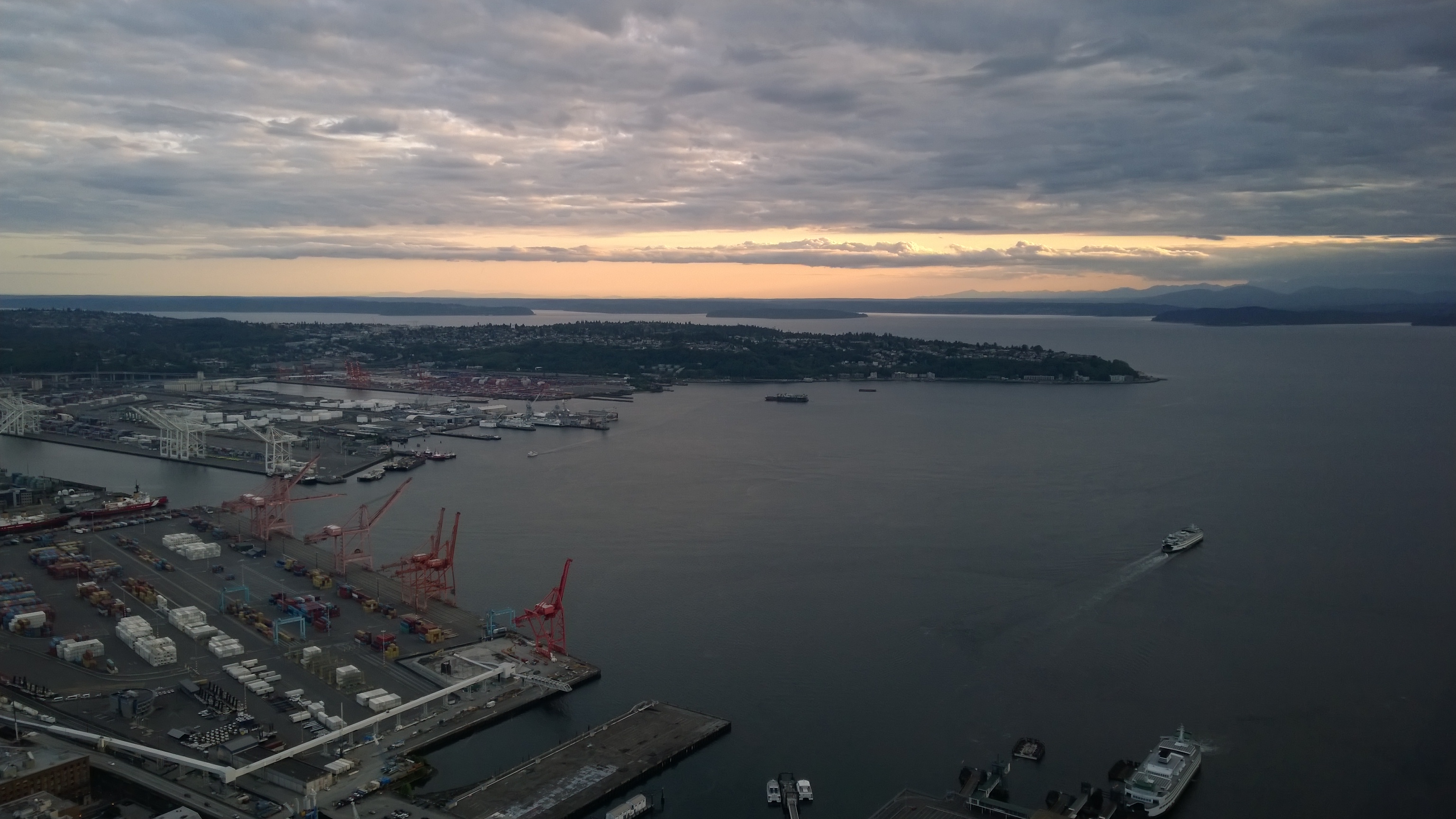
Seattle from the Columbia Tower
Our new view
Visiting the Seattle Space Needle
Topographic Map of Seattle, WA, USA
Find elevation by address:

Places in Seattle, WA, USA:
Northeast Seattle
North Admiral
Downtown
Maple Leaf
Phinney Ridge
Seward Park
Hillman City
Highline
Lower Queen Anne
East Queen Anne
North Beach/ Blue Ridge
Madison Park
Broadview
Gatewood
Matthews Beach
Wallingford
South Lake Union
Minor
West Queen Anne
Hilltop
South Delridge
Haller Lake
Queen Anne
Green Lake
Belltown
Greenwood
High Point
Fauntleroy
Pike Pine Retail Core
Licton Springs
Ravenna
Portage Bay
Victory Heights
Mount Baker
Columbia City
Westlake
Laurelhurst
Northgate
Highland Park
Roxhill
Pinehurst
North Delridge
Harrison/denny-blaine
Fremont
Rainier Beach
Old Ballard
Central Business District
Briarcliff
Meadowbrook
Sodo
Bitter Lake
Stevens
West Woodland
Capitol Hill
Ballard
Fairmount Park
Atlantic
Industrial District West
North Queen Anne
Federal Ave E, Seattle, WA, USA
S Lakeridge Dr, Seattle, WA, USA
61st Ave NE, Seattle, WA, USA
28th Ave NE, Seattle, WA, USA
S Holly Pl, Seattle, WA, USA
26 Harrison St, Seattle, WA, USA
Wedgwood
Seattle Ferry Terminal
Pike Place Market
Alki Beach
Pioneer Square
Eastlake
Madrona
Beacon Hill
West Commodore Way
South Park
Pike/pine
First Hill
Riverview
North Beacon Hill
Loyal Heights
Georgetown
Seattle Waterfront
Mann
Arbor Heights
Alki
Olympic Hills
Junction
Judkins Park
Magnolia
Seaview
Rainier View
Miller Park
Places near Seattle, WA, USA:
5th & Madison Condos
Seattle Public Library-central Library
920 5th Ave
Renaissance Seattle Hotel
1201 5th Ave
Wells Fargo Center
1114 4th Ave
Seattle Municipal Tower
Downtown
Seattle City Council
Central Business District
The 5th Avenue Theatre
1201 Third Avenue
Cortina
1191 2nd Ave
1215 2nd Ave
600 7th Ave
Pioneer Square
1100 9th Ave
425 Pike St
Recent Searches:
- Elevation of Corso Fratelli Cairoli, 35, Macerata MC, Italy
- Elevation of Tallevast Rd, Sarasota, FL, USA
- Elevation of 4th St E, Sonoma, CA, USA
- Elevation of Black Hollow Rd, Pennsdale, PA, USA
- Elevation of Oakland Ave, Williamsport, PA, USA
- Elevation of Pedrógão Grande, Portugal
- Elevation of Klee Dr, Martinsburg, WV, USA
- Elevation of Via Roma, Pieranica CR, Italy
- Elevation of Tavkvetili Mountain, Georgia
- Elevation of Hartfords Bluff Cir, Mt Pleasant, SC, USA