Elevation of Seaside Rd, Machipongo, VA, USA
Location: United States > Virginia > Northampton County > > Machipongo >
Longitude: -75.900172
Latitude: 37.383534
Elevation: 11m / 36feet
Barometric Pressure: 101KPa
Elevation Map:
Satellite Map:
Related Photos:
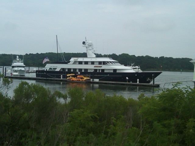
In our rear view
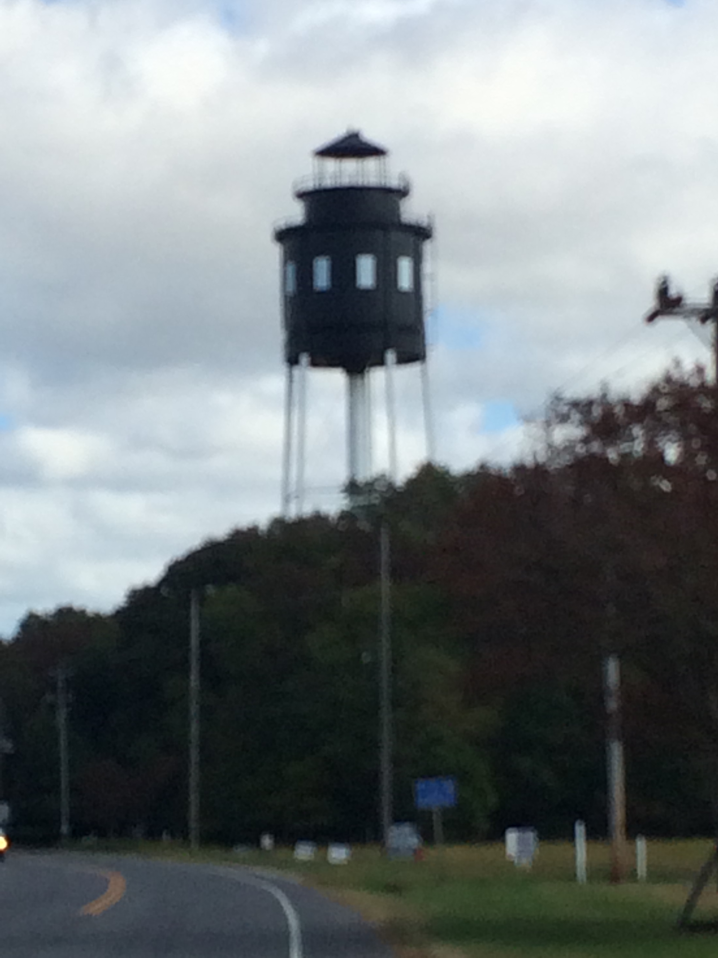
Cape Charles Lighthouse

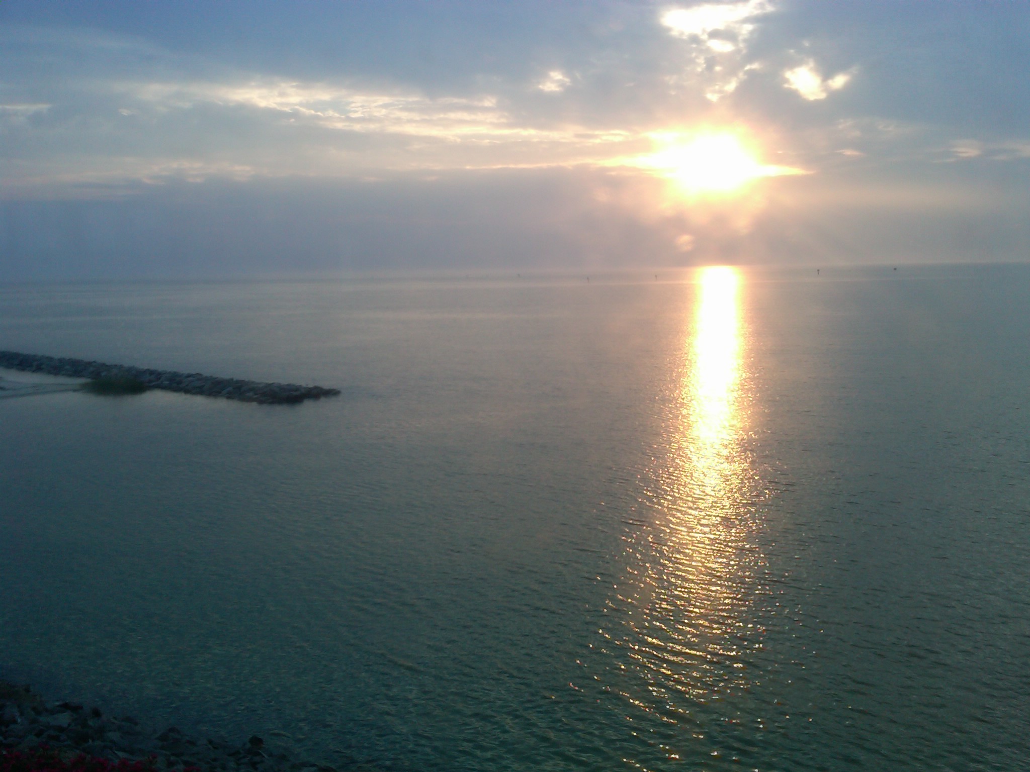
Silver Beach Sunset over the Chesapeake
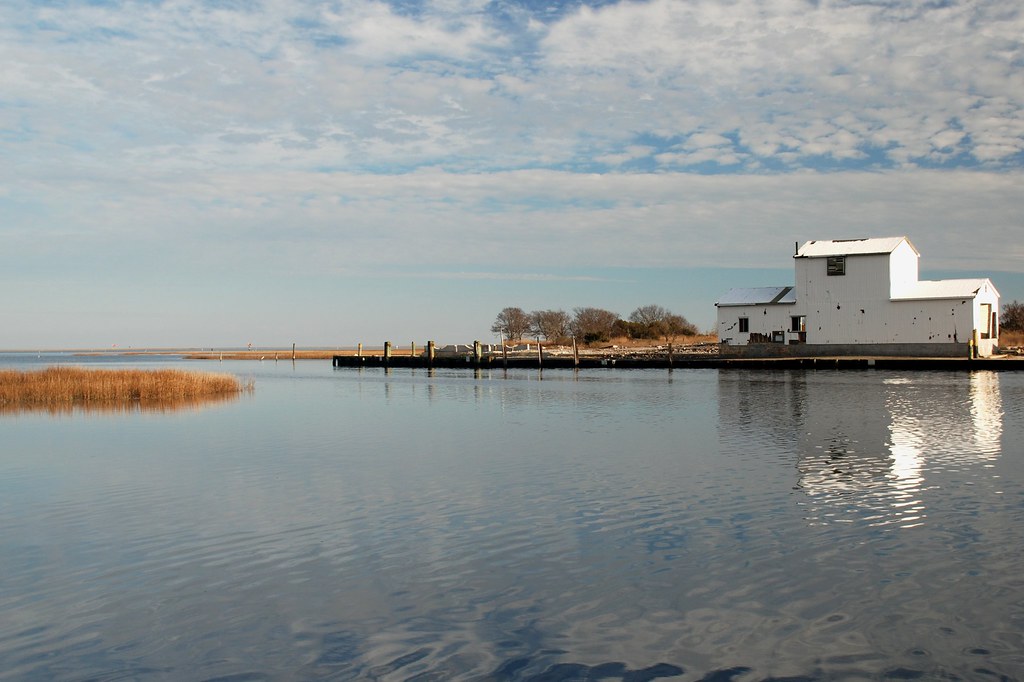
Creek out of Oyster
District 4-20120504-00442
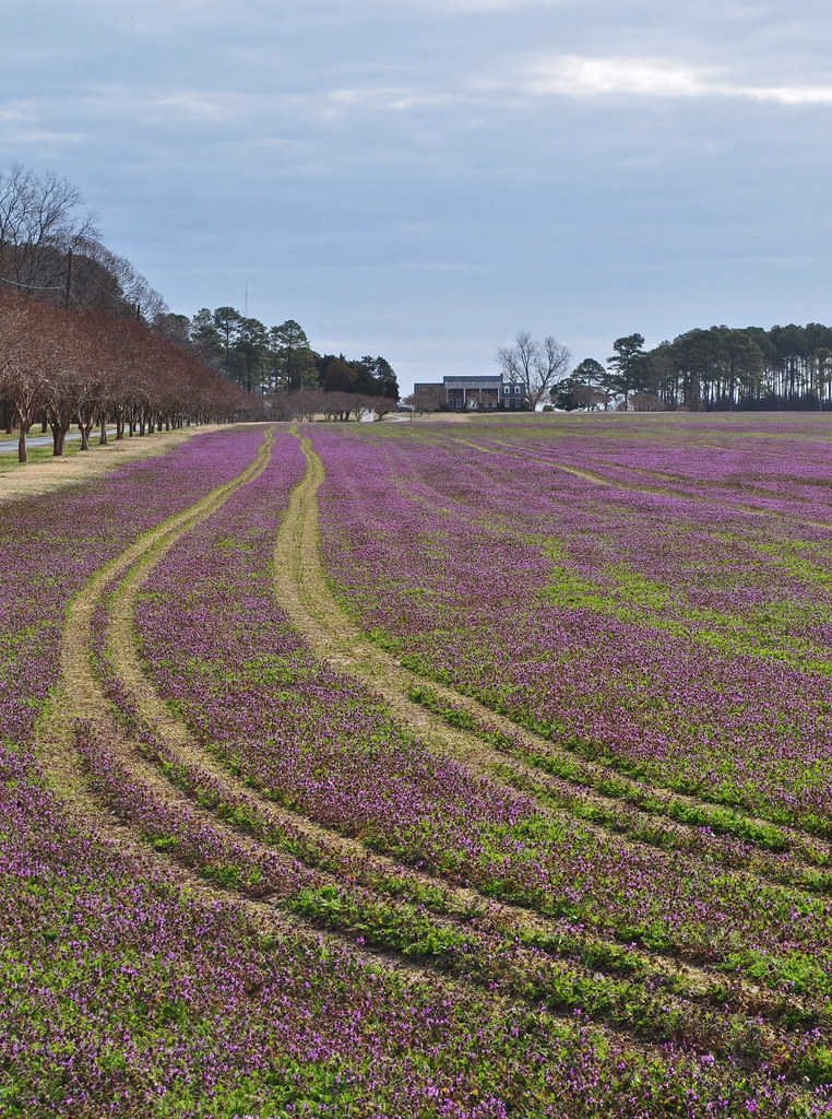
Lamium amplexicaule (11)
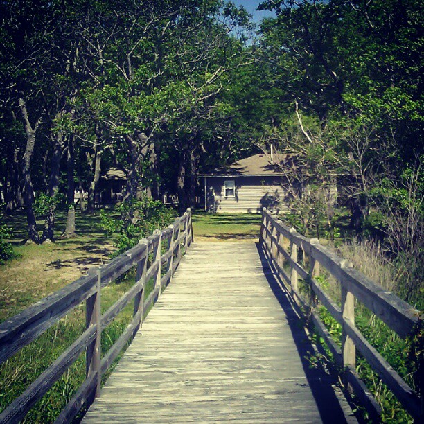
#nature #bridge
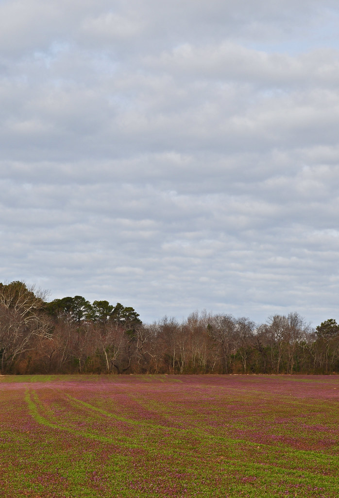
Lamium amplexicaule (3)

GBM- Cherrystone

GBM- Cherrystone
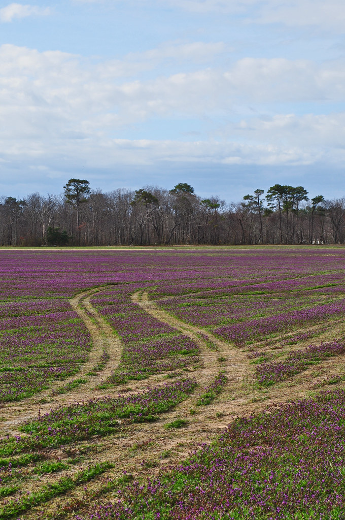
Lamium amplexicaule (15)

GBM- Cherrystone
Topographic Map of Seaside Rd, Machipongo, VA, USA
Find elevation by address:

Places near Seaside Rd, Machipongo, VA, USA:
Machipongo
Vincent Lane
U.s. 13
U.s. 13
9221 Thoreau Dr
Birdsnest
8265 Birdsnest Dr
Bayside Rd, Machipongo, VA, USA
Red Bank Rd, Birdsnest, VA, USA
Marionville
Seaside Rd, Cape Charles, VA, USA
Broadwater Cir, Cape Charles, VA, USA
Nassawadox
21247 Seaside Rd
Pine Tree Rd, Exmore, VA, USA
5, VA, USA
Jamesville
Jamesville Rd, Exmore, VA, USA
Unnamed Road
6506 Occohannock Neck Rd
Recent Searches:
- Elevation of Corso Fratelli Cairoli, 35, Macerata MC, Italy
- Elevation of Tallevast Rd, Sarasota, FL, USA
- Elevation of 4th St E, Sonoma, CA, USA
- Elevation of Black Hollow Rd, Pennsdale, PA, USA
- Elevation of Oakland Ave, Williamsport, PA, USA
- Elevation of Pedrógão Grande, Portugal
- Elevation of Klee Dr, Martinsburg, WV, USA
- Elevation of Via Roma, Pieranica CR, Italy
- Elevation of Tavkvetili Mountain, Georgia
- Elevation of Hartfords Bluff Cir, Mt Pleasant, SC, USA