Elevation of Sea Island Dr, Vicksburg, MS, USA
Location: United States > Mississippi > Warren County > Vicksburg >
Longitude: -91.043335
Latitude: 32.532178
Elevation: 28m / 92feet
Barometric Pressure: 101KPa
Elevation Map:
Satellite Map:
Related Photos:
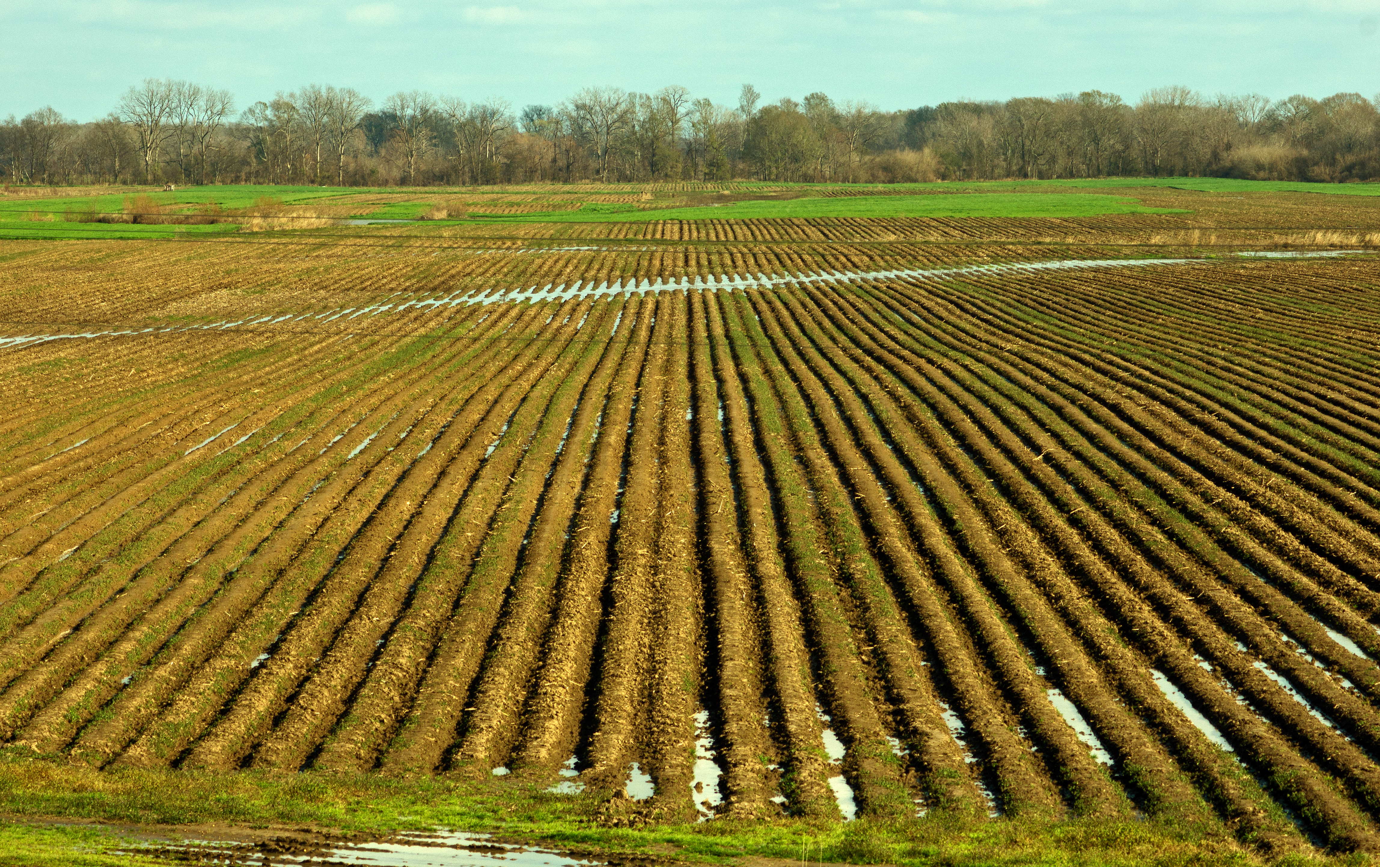
IMG_7802

DSCF2454
DSCF2452
IMG_7800
IMG_7804
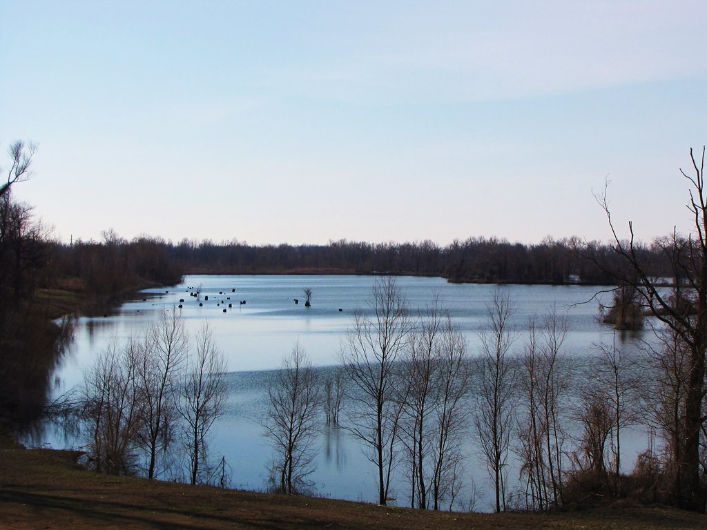
\Shot from the levee
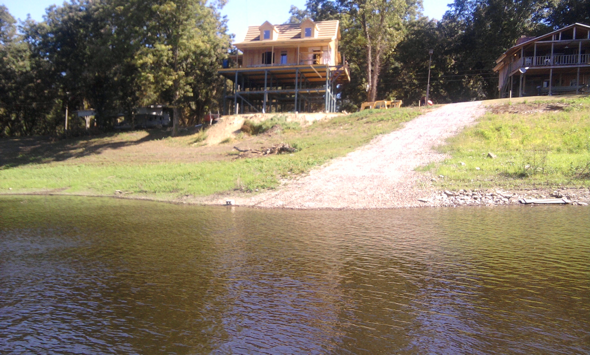
gravel landing upper end of albermarle lake
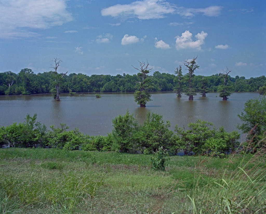
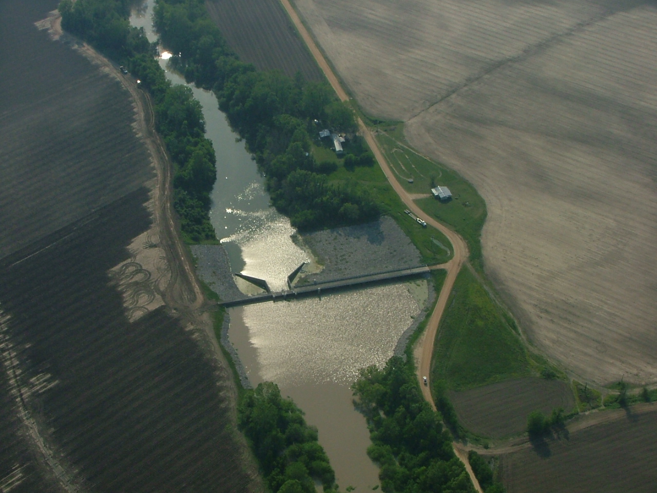
Steele's Bayou barrow pit
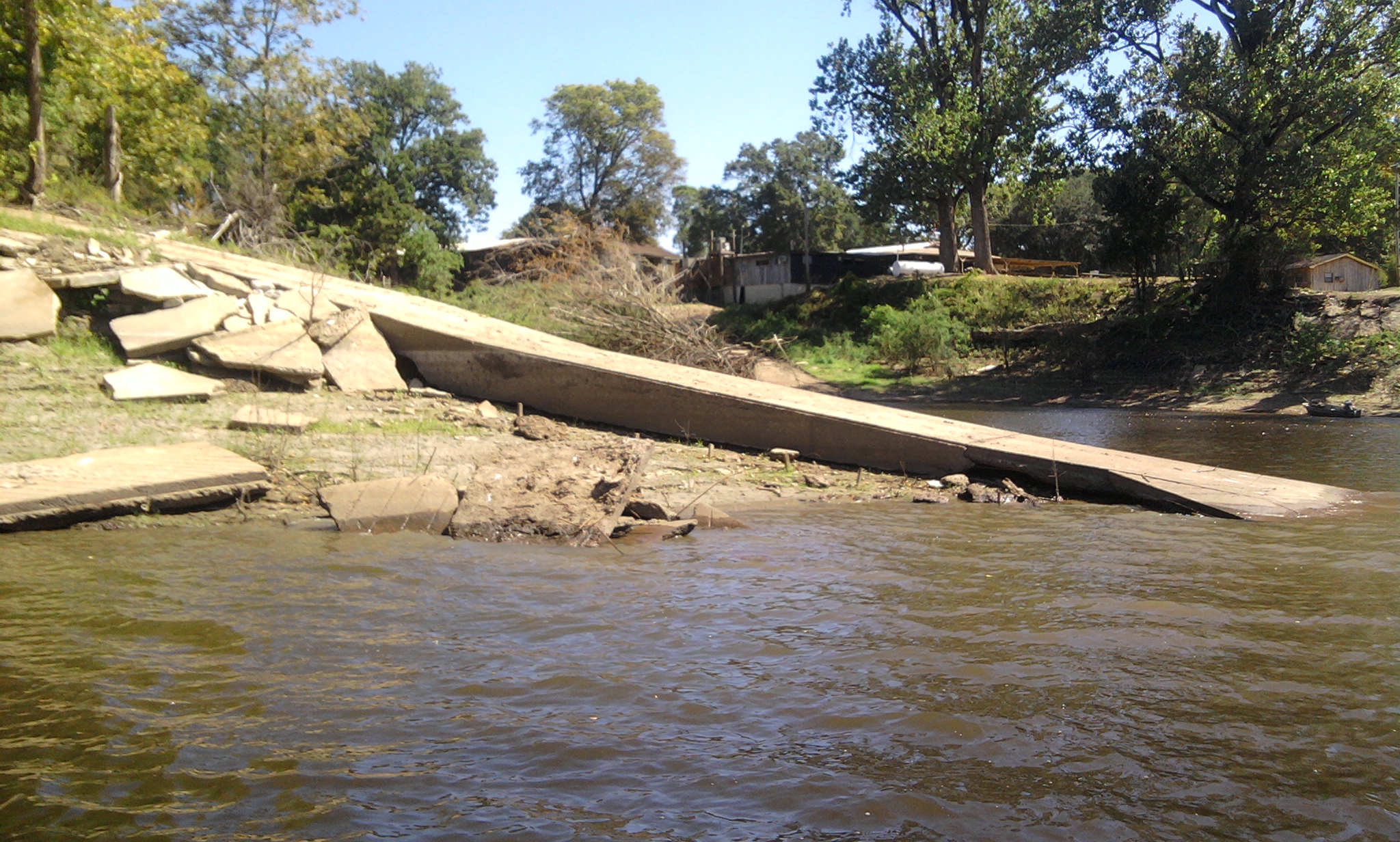
concrete ramp at albermarle shoot

Angle to Key West
Topographic Map of Sea Island Dr, Vicksburg, MS, USA
Find elevation by address:

Places near Sea Island Dr, Vicksburg, MS, USA:
MS-, Vicksburg, MS, USA
Eagle Lake Shore Road
Lo-sto Road
2738 Eagle Lake Shore Rd
2735 Eagle Lake Shore Rd
15481 Ms-465
15481 Ms-465
15481 Ms-465
121 Belle Island Dr
381 Melanie Ln
231 Belle Island Dr
233 Belle Island Dr
1308 Eagle Lake Shore Rd
1272 Eagle Lake Shore Rd
109 Hanging Moss Rd
55 Ramsey Ln
Eagle Lake, Ms
Thomastown Rd, Tallulah, LA, USA
Vicksburg, MS, USA
Merle Gustafson Road
Recent Searches:
- Elevation of Corso Fratelli Cairoli, 35, Macerata MC, Italy
- Elevation of Tallevast Rd, Sarasota, FL, USA
- Elevation of 4th St E, Sonoma, CA, USA
- Elevation of Black Hollow Rd, Pennsdale, PA, USA
- Elevation of Oakland Ave, Williamsport, PA, USA
- Elevation of Pedrógão Grande, Portugal
- Elevation of Klee Dr, Martinsburg, WV, USA
- Elevation of Via Roma, Pieranica CR, Italy
- Elevation of Tavkvetili Mountain, Georgia
- Elevation of Hartfords Bluff Cir, Mt Pleasant, SC, USA