Elevation of SE th St, Kent, WA, USA
Location: United States > Washington > King County > Kent >
Longitude: -122.14858
Latitude: 47.3685909
Elevation: 134m / 440feet
Barometric Pressure: 100KPa
Elevation Map:
Satellite Map:
Related Photos:

embracing the sun...
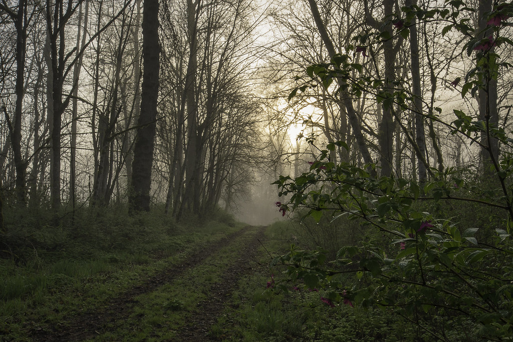
Spring is in the Air

Swept Away
Restaruant carpet, dog's eye view.
Chairs... 20170708_2384
Within a Sea of Weeds

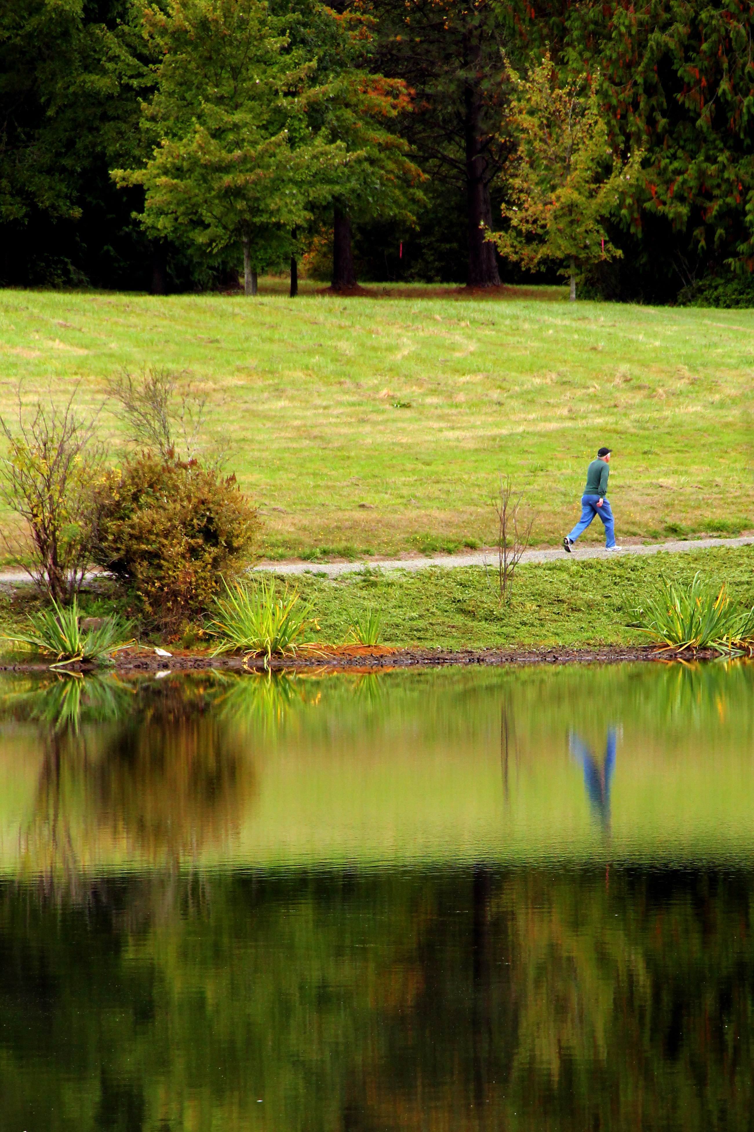
Pieces of Autumn
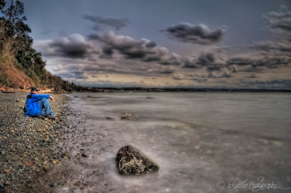
Made it to the beach!
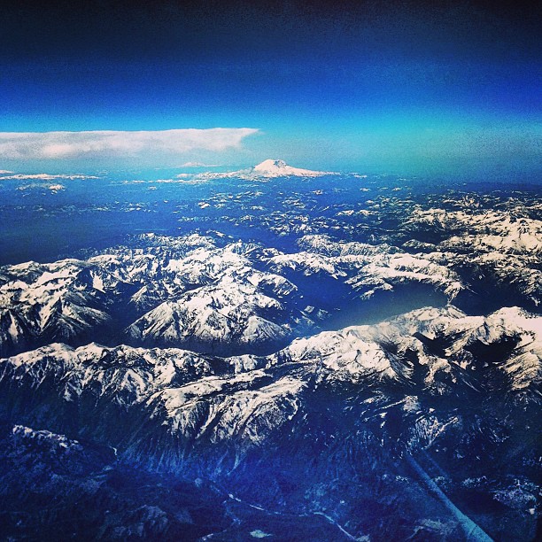
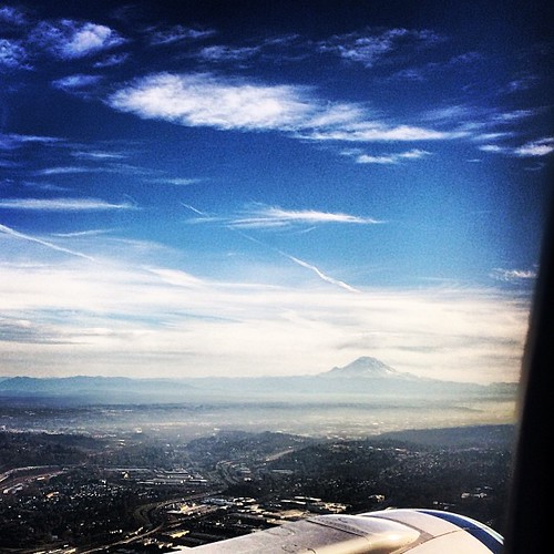
Flying into #Seattle #mountains #snow #view #fromtheplane #mountrainier
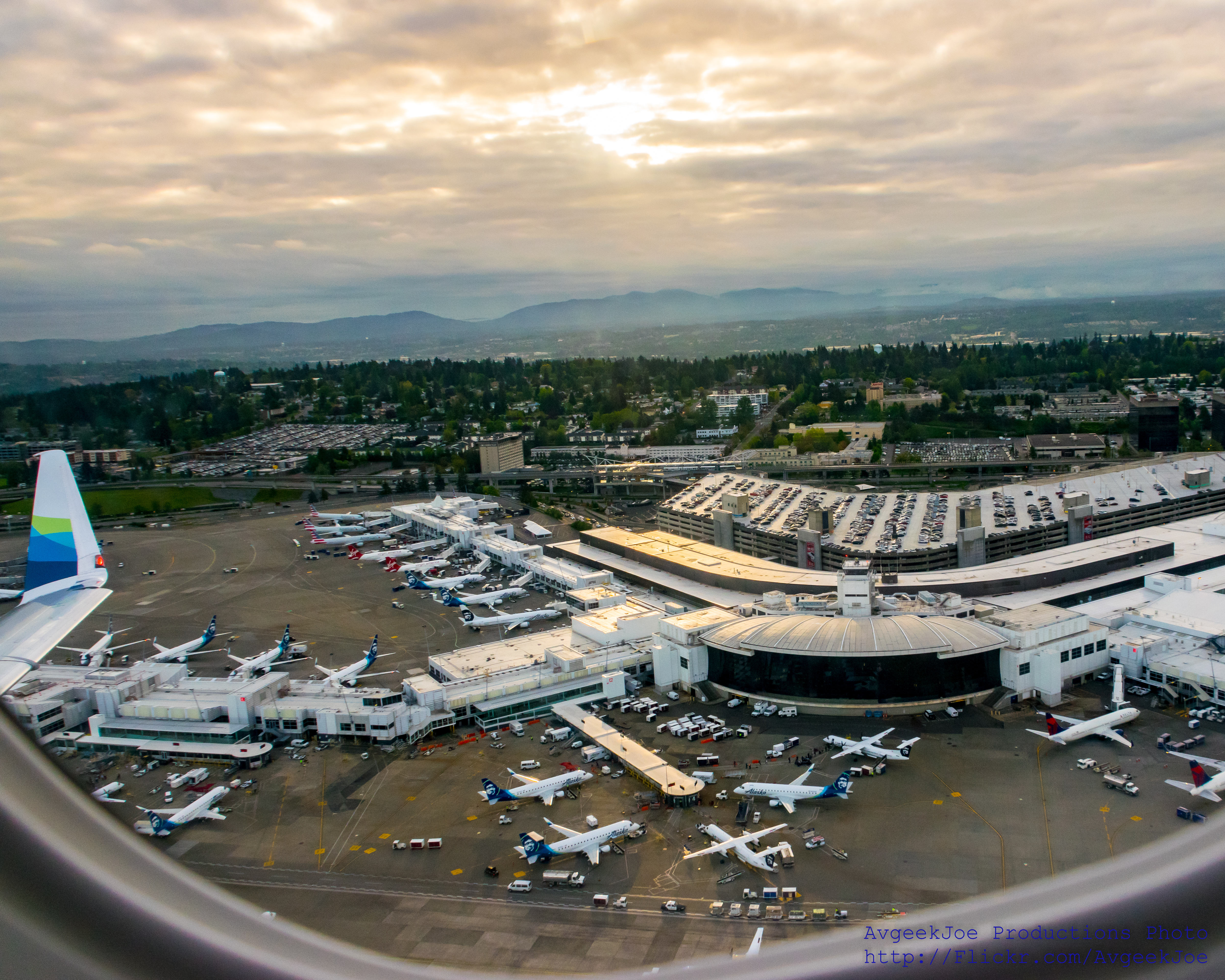
SEA-TAC (KSEA) UNDER THE WING... #IFlyAlaska

Mmmm... Acorns!

May Valley Horses
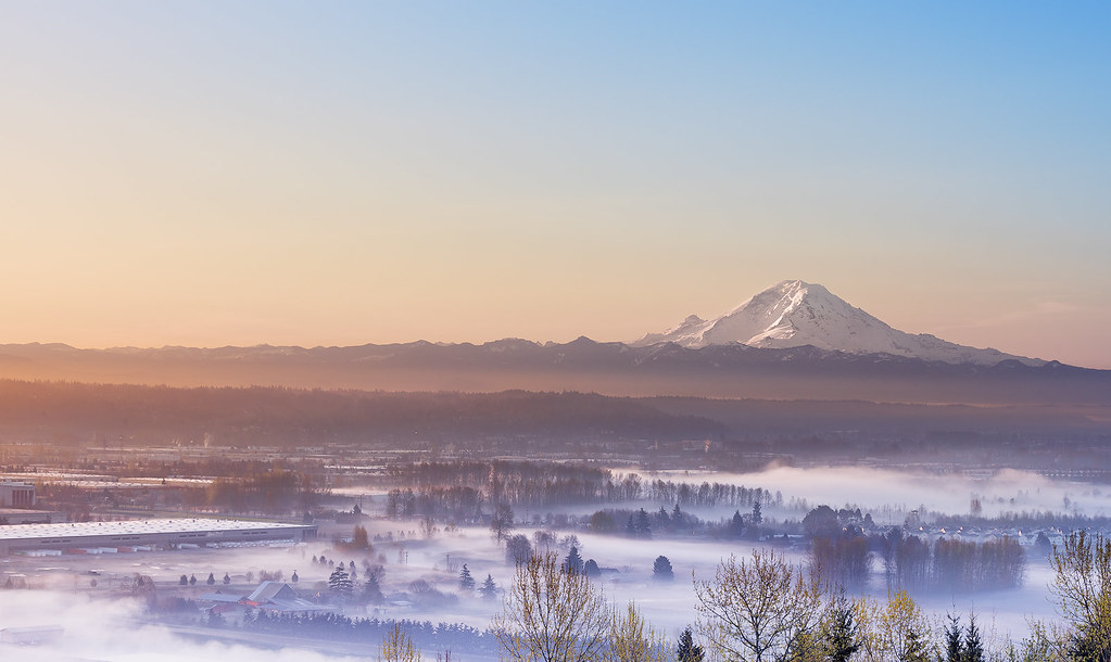
Top view of Seattle! Sun rising ,clouds,fog!
Morning clouds
As we started our #descent into #Seattle #Washington, we looked out the window and saw this view. Of #Mt #StHelens and #Mt #Adams in the #pictures on the #right, in the picture on the #Left we saw #MtRainier. #Absolutely #spectacular

Midnight Sun

Monitor Cleaner

I Got All My Ducks In A Row!!!
Marine View Park1
Happy Otter
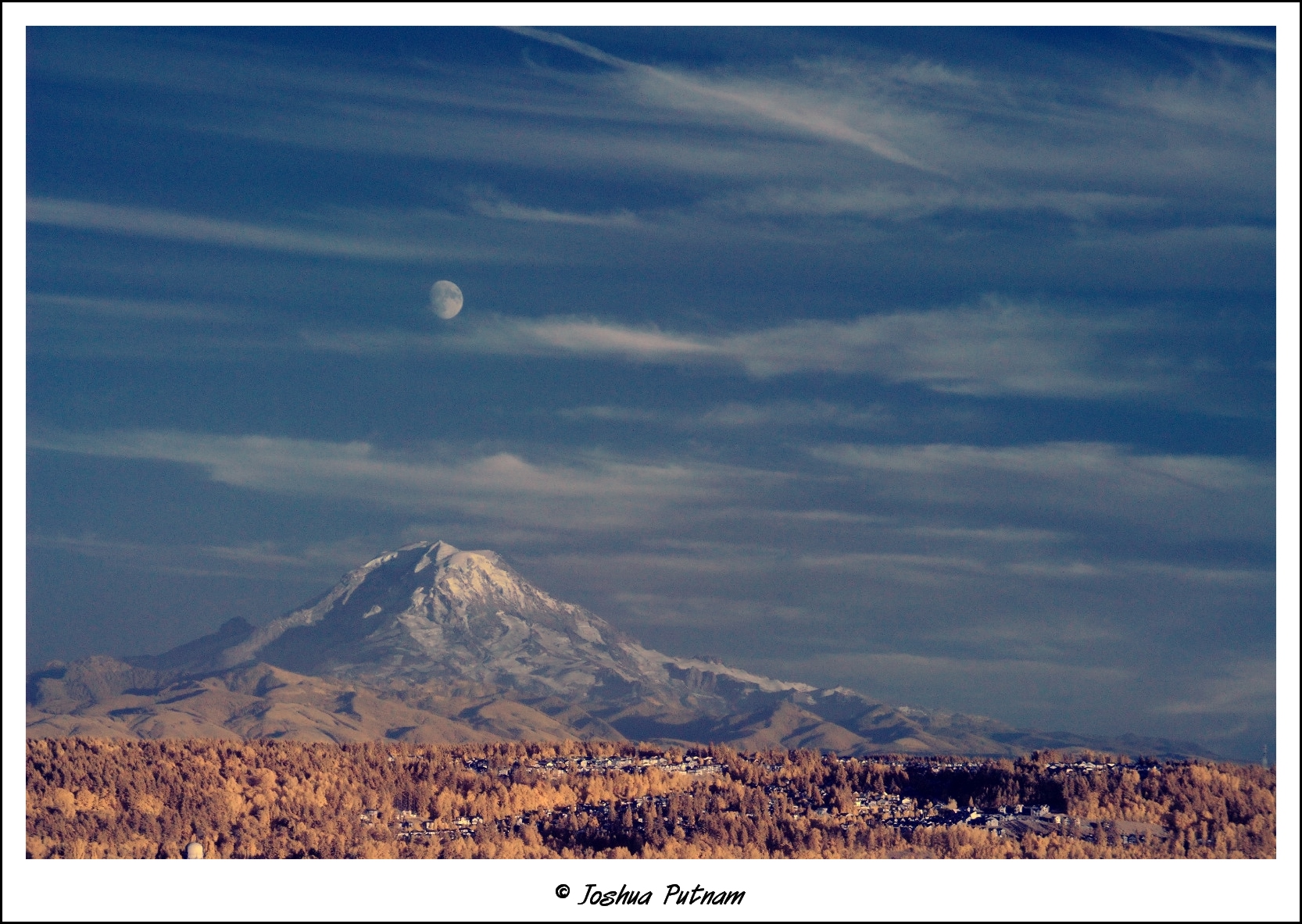
Moonrise over Mount Rainier
Green Valley-8
Almost Touching The Sky
Green Valley-6
Green Valley-7
Mt. Rainier
Mt. Rainier in the distance...
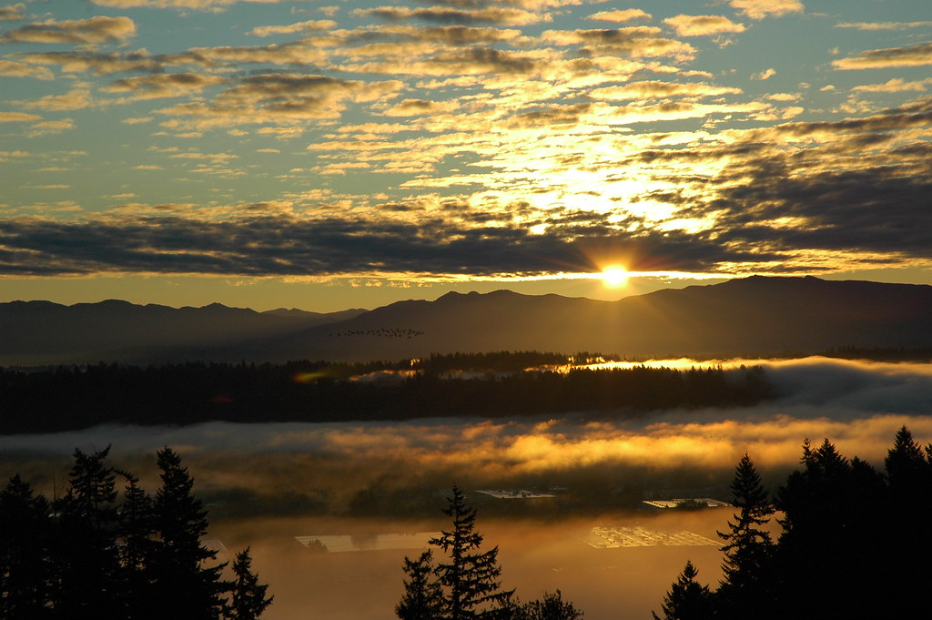
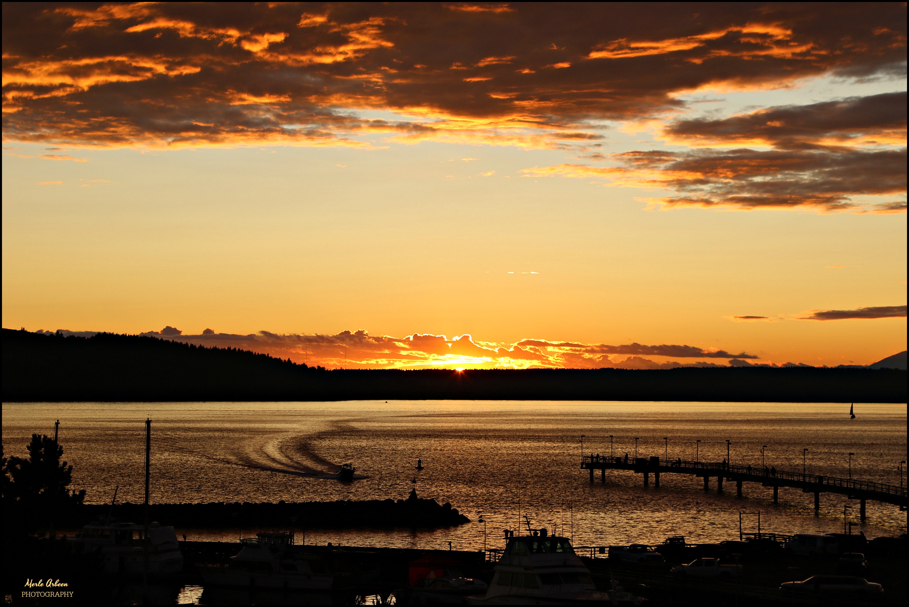
October Sunrise

SEA-TAC

Baby boo.

The calm before the storm this morning in Seattle. 12s, it's about to go down!!!! I have to admit, although I'm confident in my team, it's a nervous confidence. So, what will final score be tomorrow? #gohawks #12thmanarmy #seattle #Seahawks #lob #beastm
Ripples in the Sand
It's All Around
Sunset Glow

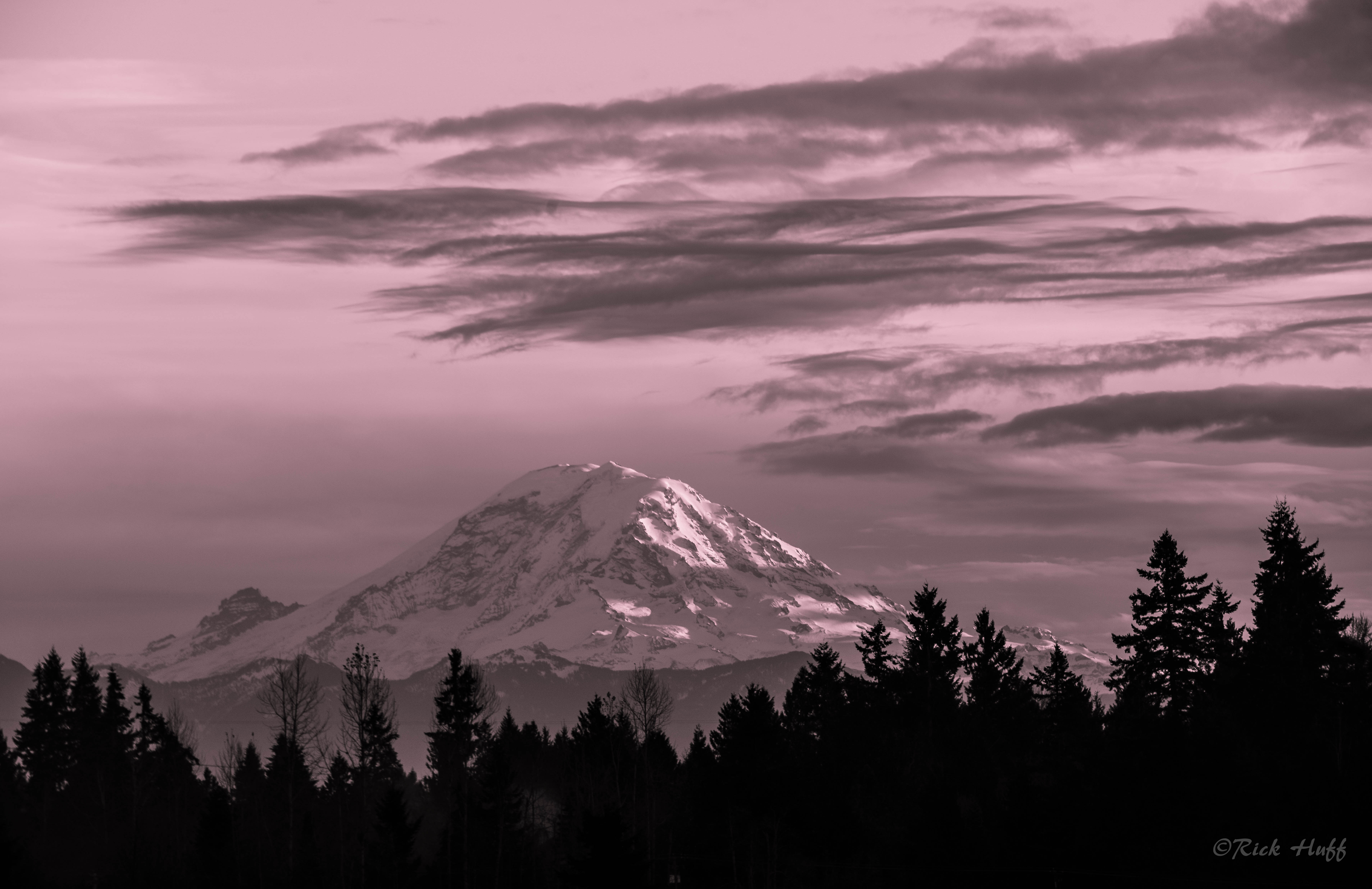
Pretty in Pink
Rainier Clouds
Alone?

Lily Dappled with Misty Rain
the last of the sun...
Good night Washington

Sunset before Snowmageddon
Topographic Map of SE th St, Kent, WA, USA
Find elevation by address:

Places near SE th St, Kent, WA, USA:
14501 Se 260th St
Lake Meridian
14424 Se 252 Pl
14901 Se 272nd St
27328 139th Pl Se
15323 Se 251 St
13536 Se 251 Pl
26005 156th Ave Se
13510 Se 272nd St
26025 157th Ave Se
14606 Se 278th Pl
15212 Se 277th Pl
25718 130th Ave Se
Trader Joe's
27721 154th Pl Se
23836 140th Ln Se
16003 Se 260th St
32905 154th Ave Se
32905 154th Ave Se
32905 154th Ave Se
Recent Searches:
- Elevation of Corso Fratelli Cairoli, 35, Macerata MC, Italy
- Elevation of Tallevast Rd, Sarasota, FL, USA
- Elevation of 4th St E, Sonoma, CA, USA
- Elevation of Black Hollow Rd, Pennsdale, PA, USA
- Elevation of Oakland Ave, Williamsport, PA, USA
- Elevation of Pedrógão Grande, Portugal
- Elevation of Klee Dr, Martinsburg, WV, USA
- Elevation of Via Roma, Pieranica CR, Italy
- Elevation of Tavkvetili Mountain, Georgia
- Elevation of Hartfords Bluff Cir, Mt Pleasant, SC, USA