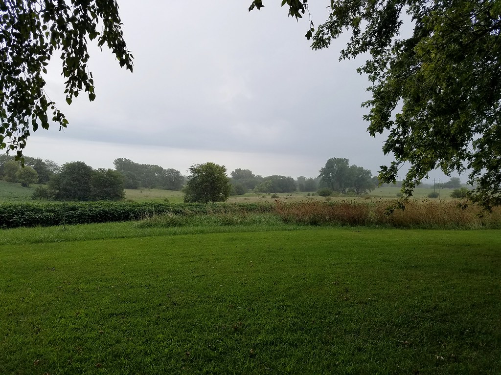
Elevation of SE State Rte E, Agency, MO, USA
Location: United States > Missouri > Buchanan County > Platte Township >
Longitude: -94.679558
Latitude: 39.587612
Elevation: 300m / 984feet
Barometric Pressure: 0KPa
Related Photos:

Bank Block - Dearborn, MO

Random strangers stopping on the road to view the eclipse

Missouri in the fall

Buchanan County Line
Gower, Missouri

Grounded Hope

Praising in the Storm
Topographic Map of SE State Rte E, Agency, MO, USA
Find elevation by address:

Places near SE State Rte E, Agency, MO, USA:
Platte Township
County Road 100th
8201 Se State Rte H
Tremont Township
Agency
Aquila Inc
Gower
Whitney Ave, Gower, MO, USA
Hillyard Rd SE, Easton, MO, USA
SE Taos Rd, Faucett, MO, USA
Barlow Truck Lines Inc
SE U.S. Hwy, St Joseph, MO, USA
13000 I-29 Frontage Rd
901 2nd St Se
Grand Dd SE, Faucett, MO, USA
Faucett
SE State Rte H, Faucett, MO, USA
St. Joseph Sanitary Landfill
Buchanan County
Crawford Township
Recent Searches:
- Elevation map of Greenland, Greenland
- Elevation of Sullivan Hill, New York, New York, 10002, USA
- Elevation of Morehead Road, Withrow Downs, Charlotte, Mecklenburg County, North Carolina, 28262, USA
- Elevation of 2800, Morehead Road, Withrow Downs, Charlotte, Mecklenburg County, North Carolina, 28262, USA
- Elevation of Yangbi Yi Autonomous County, Yunnan, China
- Elevation of Pingpo, Yangbi Yi Autonomous County, Yunnan, China
- Elevation of Mount Malong, Pingpo, Yangbi Yi Autonomous County, Yunnan, China
- Elevation map of Yongping County, Yunnan, China
- Elevation of North 8th Street, Palatka, Putnam County, Florida, 32177, USA
- Elevation of 107, Big Apple Road, East Palatka, Putnam County, Florida, 32131, USA
- Elevation of Jiezi, Chongzhou City, Sichuan, China
- Elevation of Chongzhou City, Sichuan, China
- Elevation of Huaiyuan, Chongzhou City, Sichuan, China
- Elevation of Qingxia, Chengdu, Sichuan, China
- Elevation of Corso Fratelli Cairoli, 35, Macerata MC, Italy
- Elevation of Tallevast Rd, Sarasota, FL, USA
- Elevation of 4th St E, Sonoma, CA, USA
- Elevation of Black Hollow Rd, Pennsdale, PA, USA
- Elevation of Oakland Ave, Williamsport, PA, USA
- Elevation of Pedrógão Grande, Portugal