Elevation of SE Pl, Inglis, FL, USA
Location: United States > Florida > Levy County > Inglis >
Longitude: -82.632454
Latitude: 29.1192358
Elevation: 16m / 52feet
Barometric Pressure: 101KPa
Elevation Map:
Satellite Map:
Related Photos:
View if you sit on the memorial
2100 Views - Inglis, Florida
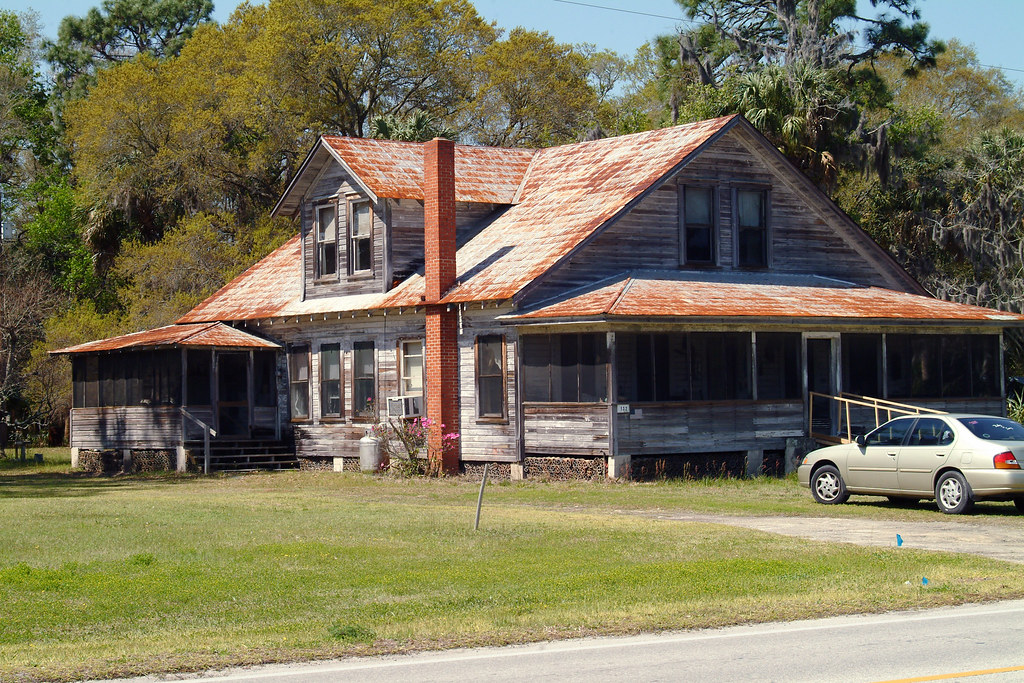
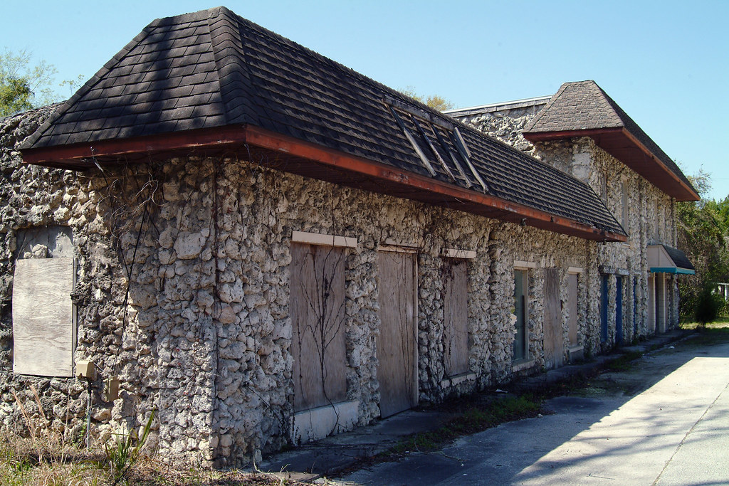
2000+ Views - Old House in Inglis, Florida
Lebanon Station 2
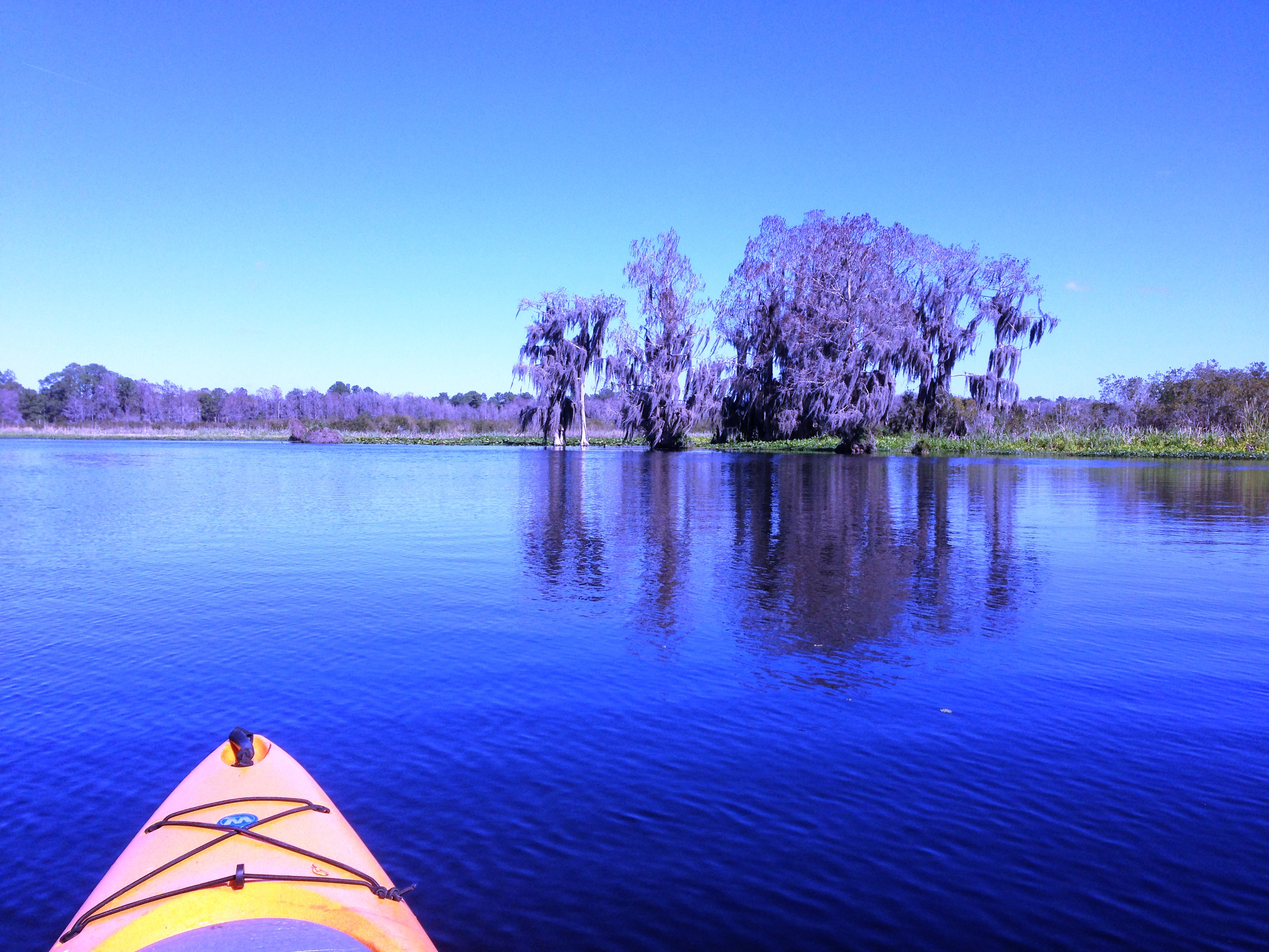
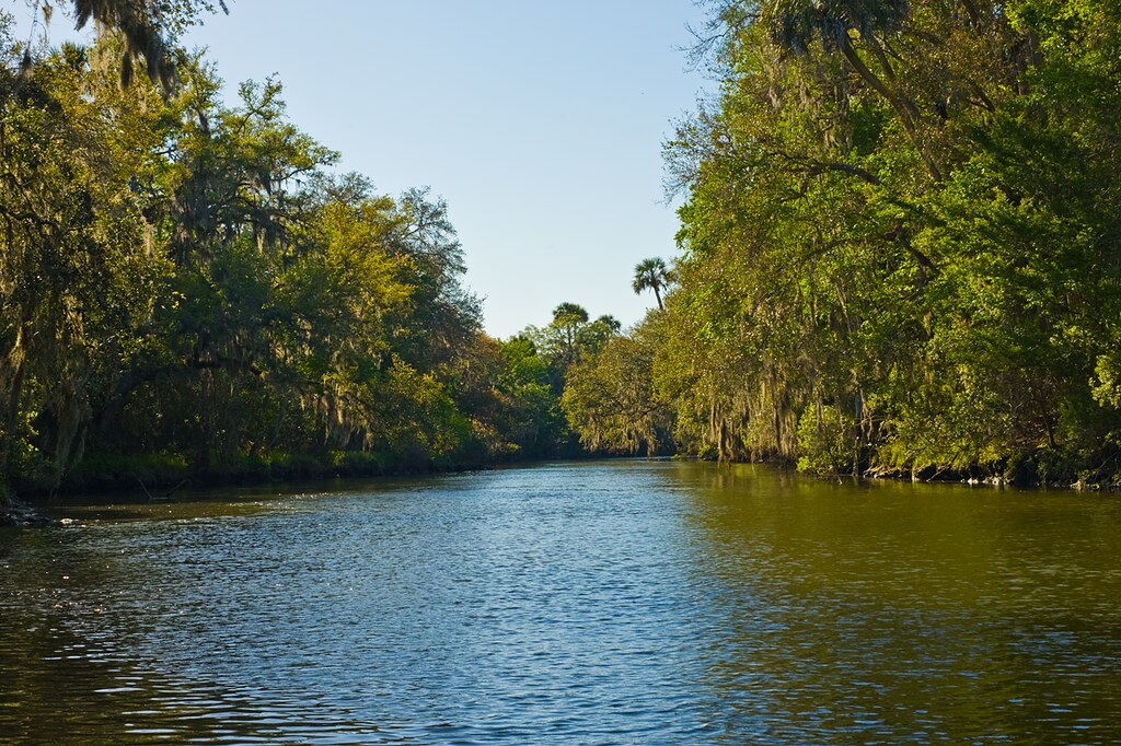
Day 5 Lake Rosseau

Storm 'a Comin'

20110423-DSC_4073

Day 5 Entrances to Lake Rosseau
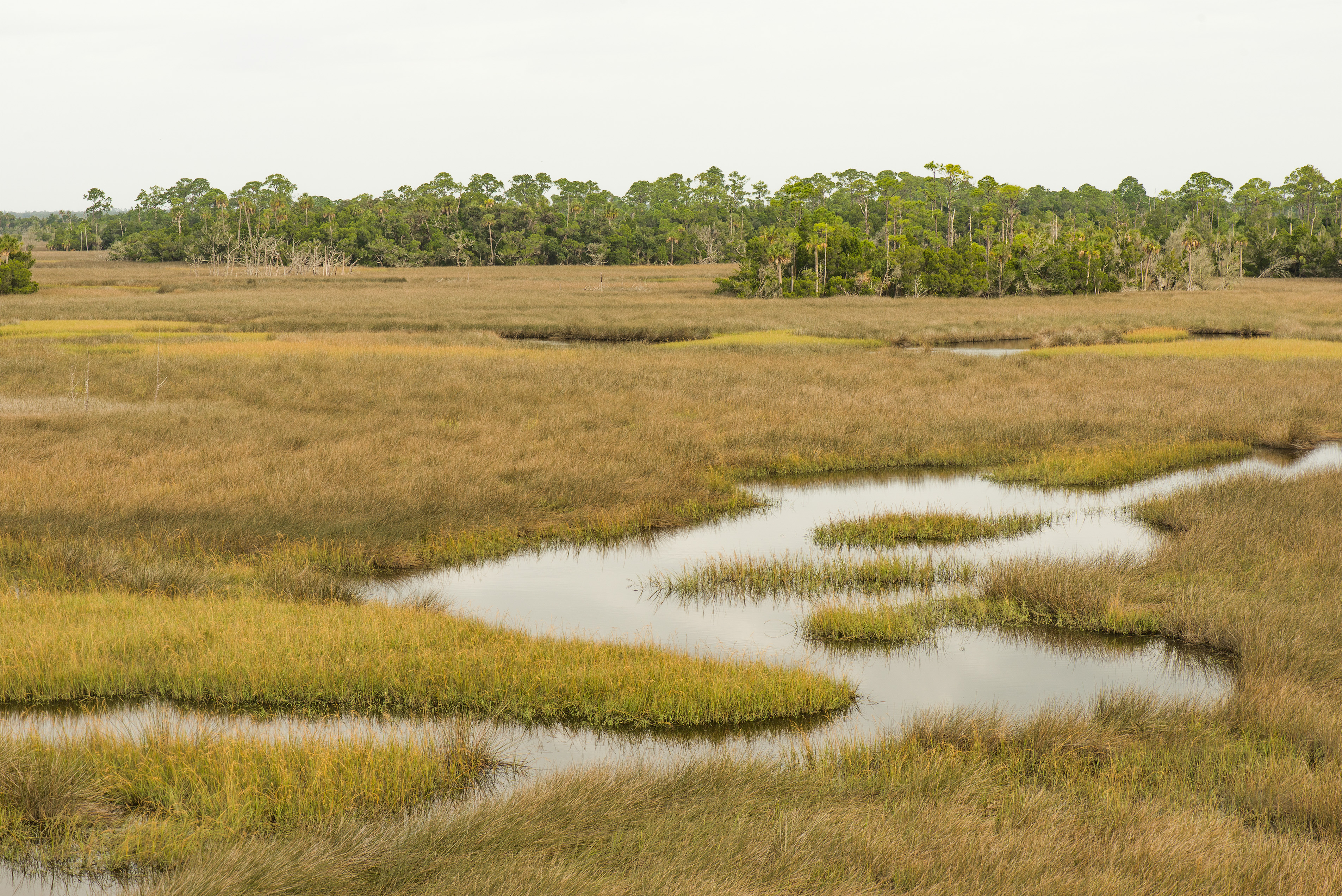
SaltMarshlands001.jpg
The buzz
Topographic Map of SE Pl, Inglis, FL, USA
Find elevation by address:

Places near SE Pl, Inglis, FL, USA:
8030 Se 144 Pl
8431 Se 144 Pl
Florida Sheriff Caruth Camp
7050 Se Butler Rd
3950 Se 180th St
Southeast 170 Street
19631 Debra St
5890 Se 194th St
4851 Se 187th Ln
331 Linda St
10 Marjorie Ln
177 Gladys Ave
17690 35 Terrace
20 Harrison Ave
120 Rachel Ave
70 Shearer St
89 Gladys Ct
Rose Avenue
46 Us-19
17891 32 Terrace
Recent Searches:
- Elevation of Corso Fratelli Cairoli, 35, Macerata MC, Italy
- Elevation of Tallevast Rd, Sarasota, FL, USA
- Elevation of 4th St E, Sonoma, CA, USA
- Elevation of Black Hollow Rd, Pennsdale, PA, USA
- Elevation of Oakland Ave, Williamsport, PA, USA
- Elevation of Pedrógão Grande, Portugal
- Elevation of Klee Dr, Martinsburg, WV, USA
- Elevation of Via Roma, Pieranica CR, Italy
- Elevation of Tavkvetili Mountain, Georgia
- Elevation of Hartfords Bluff Cir, Mt Pleasant, SC, USA