Elevation of Schulstraße 2, Dautphetal, Germany
Location: Germany > Hesse > Giessen > Dautphetal > Holzhausen >
Longitude: 8.5265
Latitude: 50.81353
Elevation: 326m / 1070feet
Barometric Pressure: 97KPa
Elevation Map:
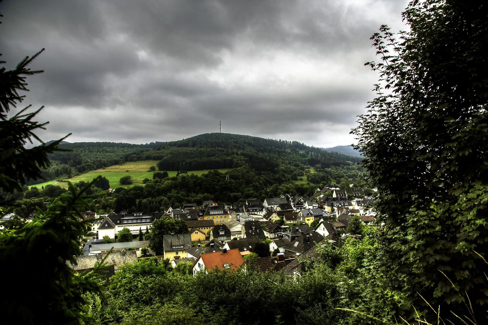
Satellite Map:
Related Photos:
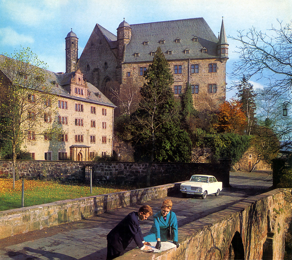
1965 Opel Kadett LS Coupé
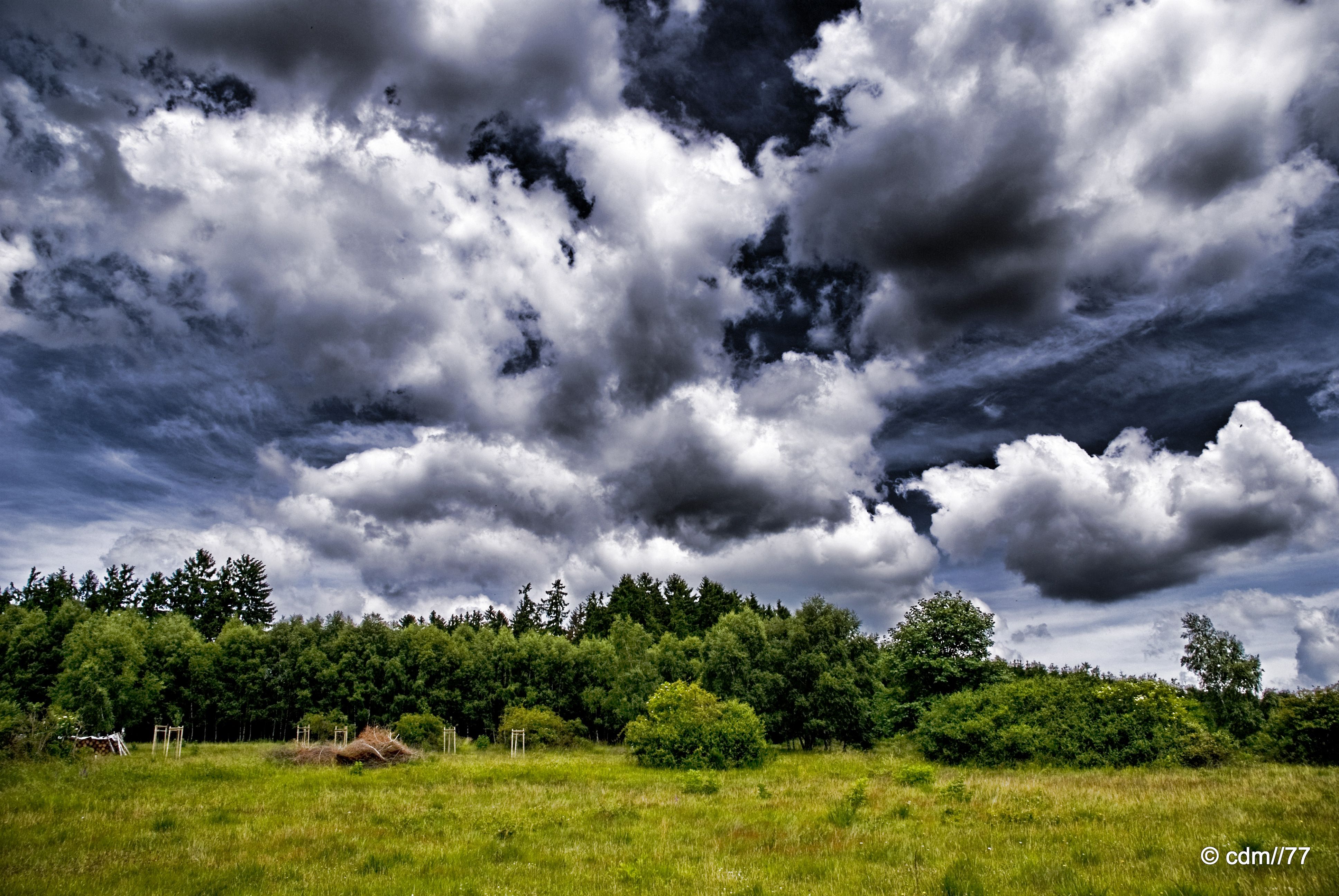
I like dramatic sky

Point of view

Summer cycling
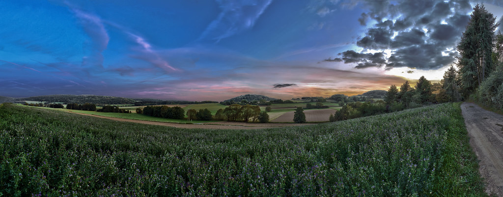
2014 Germany // Hessenweg 5 - Lahn-Dill-Bergland

IMG_4240-1039-1051.jpg

Autumn Wind

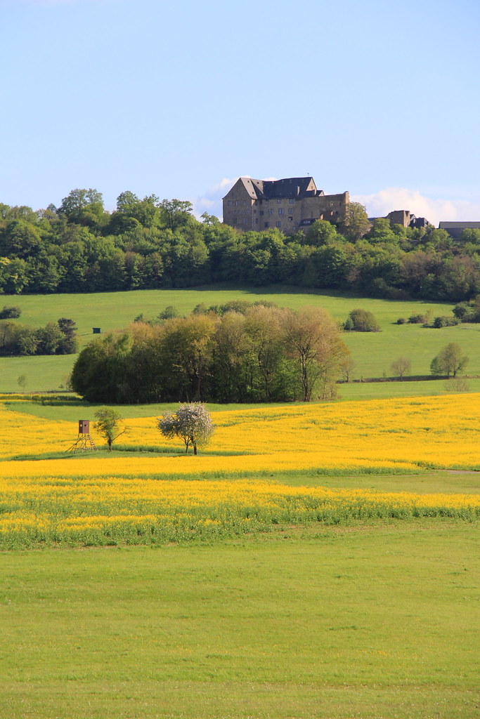
Blick auf den Dünsberg
#Fog #nature #clouds #cloudporn #landscape #loves_hdr #loveroyal3 #l4l #amazing #all_shots #beautiful #bestshot #earth_shotz #follow #follow4follow #gununkaresi #hdrphotos #ig_mood #ig_week #instagood #igworldclub #ig_brilliant #ig_deutschland #ig_photolo
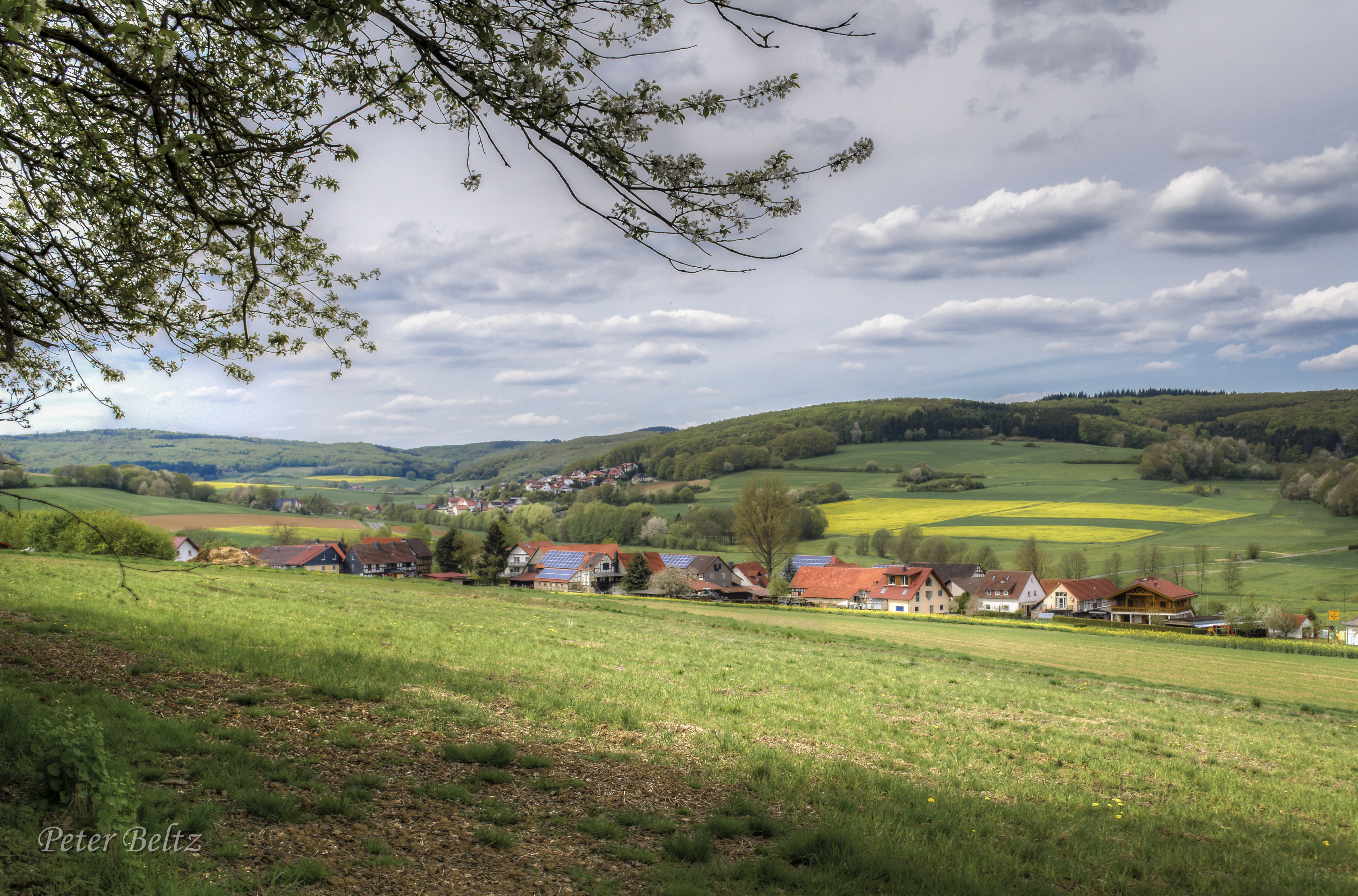
Hohensolms im Mai
Marburger Hinterland
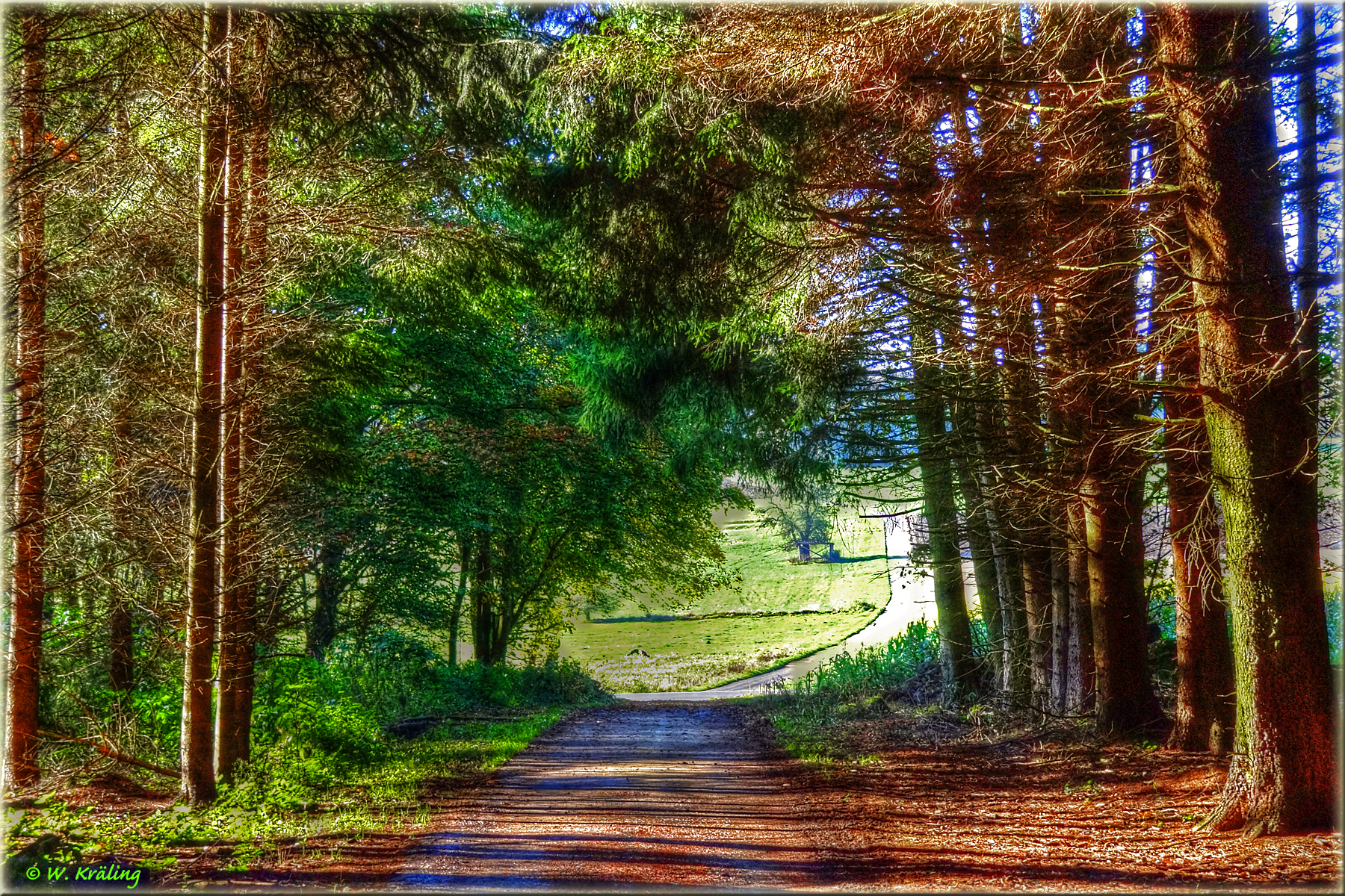
Waldweg bei Bottenhorn / Forest path at Bottenhorn
cdm77-0090
cdm77-0085

.
Spaziergang Ludwigshütte
Ludwigshütte - ehem. Hüttengraben und kleiner Kahn -
Frühlingslandschaft
Brücke Ludwigshütte
Noch ein Spaziergang
cdm77-0091
Light-Flooded

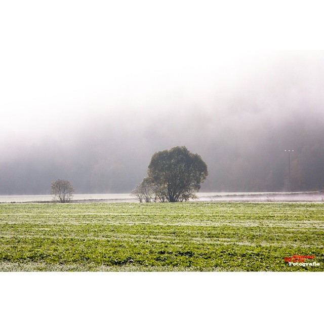
Nebliger Märzmorgen - Lahntal (3/4)
Deutschland (Allemagne) - Bad Laasphe

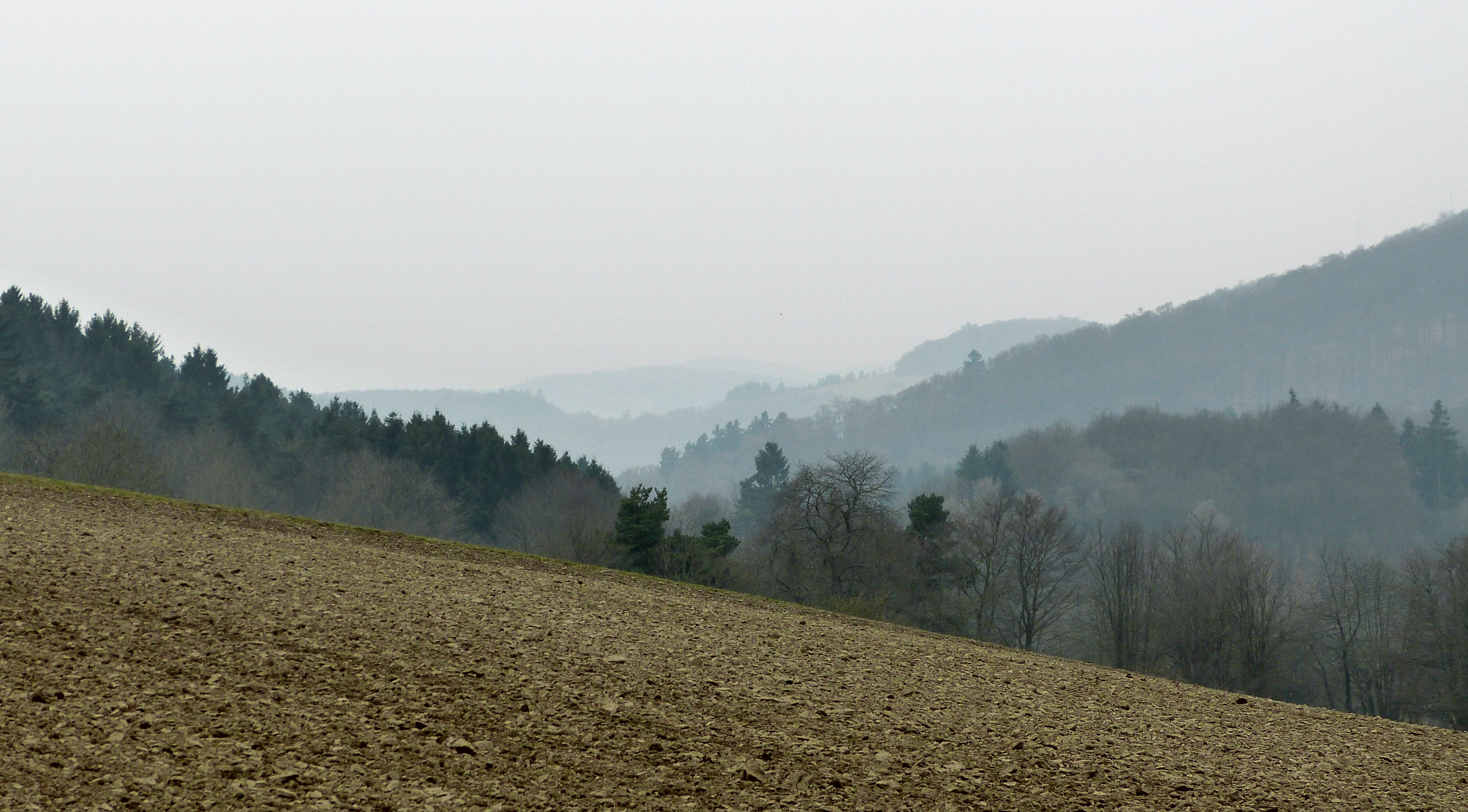
Acker mit Zwischenfrucht bei Bottenhorn
Topographic Map of Schulstraße 2, Dautphetal, Germany
Find elevation by address:

Places near Schulstraße 2, Dautphetal, Germany:
Holzhausen
Amelose
Ameloser Str. 8, Dautphetal, Germany
Dautphetal
Steffenberg
Hörlestraße 24, Steffenberg, Germany
Niederhörlen
Biedenkopf
Wallau
2a
Dexbach
Lahntal
Biedenkopfer Str. 2, Biedenkopf, Germany
Caldern
Klosterbergstraße 25, Lahntal, Germany
Warzenbach
Pfuhlstraße 6, Wetter (Hessen), Germany
Hof Rhoda 5, Hatzfeld (Eder), Germany
Marburg-biedenkopf
Wetter
Recent Searches:
- Elevation of Corso Fratelli Cairoli, 35, Macerata MC, Italy
- Elevation of Tallevast Rd, Sarasota, FL, USA
- Elevation of 4th St E, Sonoma, CA, USA
- Elevation of Black Hollow Rd, Pennsdale, PA, USA
- Elevation of Oakland Ave, Williamsport, PA, USA
- Elevation of Pedrógão Grande, Portugal
- Elevation of Klee Dr, Martinsburg, WV, USA
- Elevation of Via Roma, Pieranica CR, Italy
- Elevation of Tavkvetili Mountain, Georgia
- Elevation of Hartfords Bluff Cir, Mt Pleasant, SC, USA