Elevation of School House Rd, West Burke, VT, USA
Location: United States > Vermont > Caledonia County > Newark > West Burke >
Longitude: -71.966399
Latitude: 44.694859
Elevation: 582m / 1909feet
Barometric Pressure: 95KPa
Elevation Map:
Satellite Map:
Related Photos:
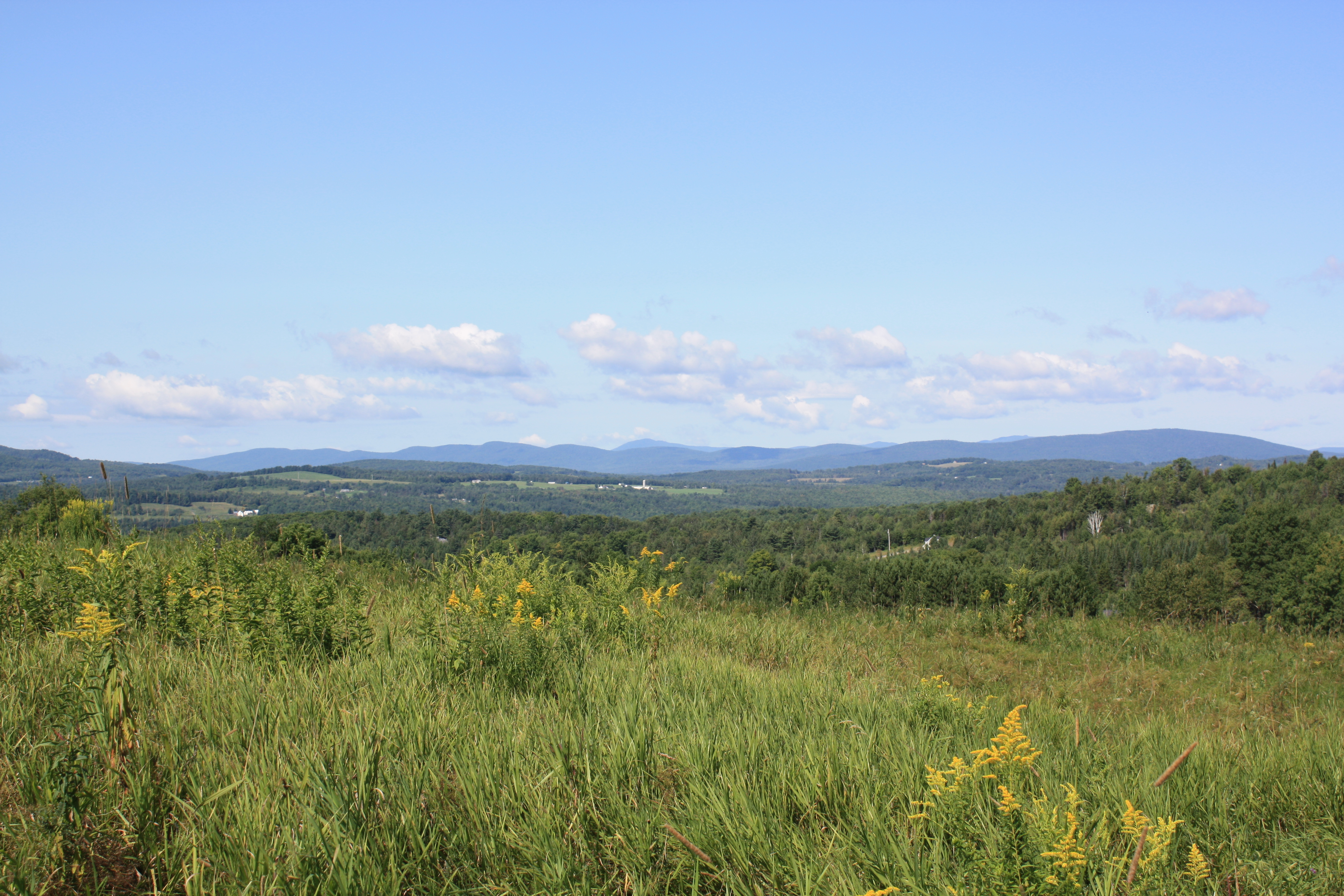
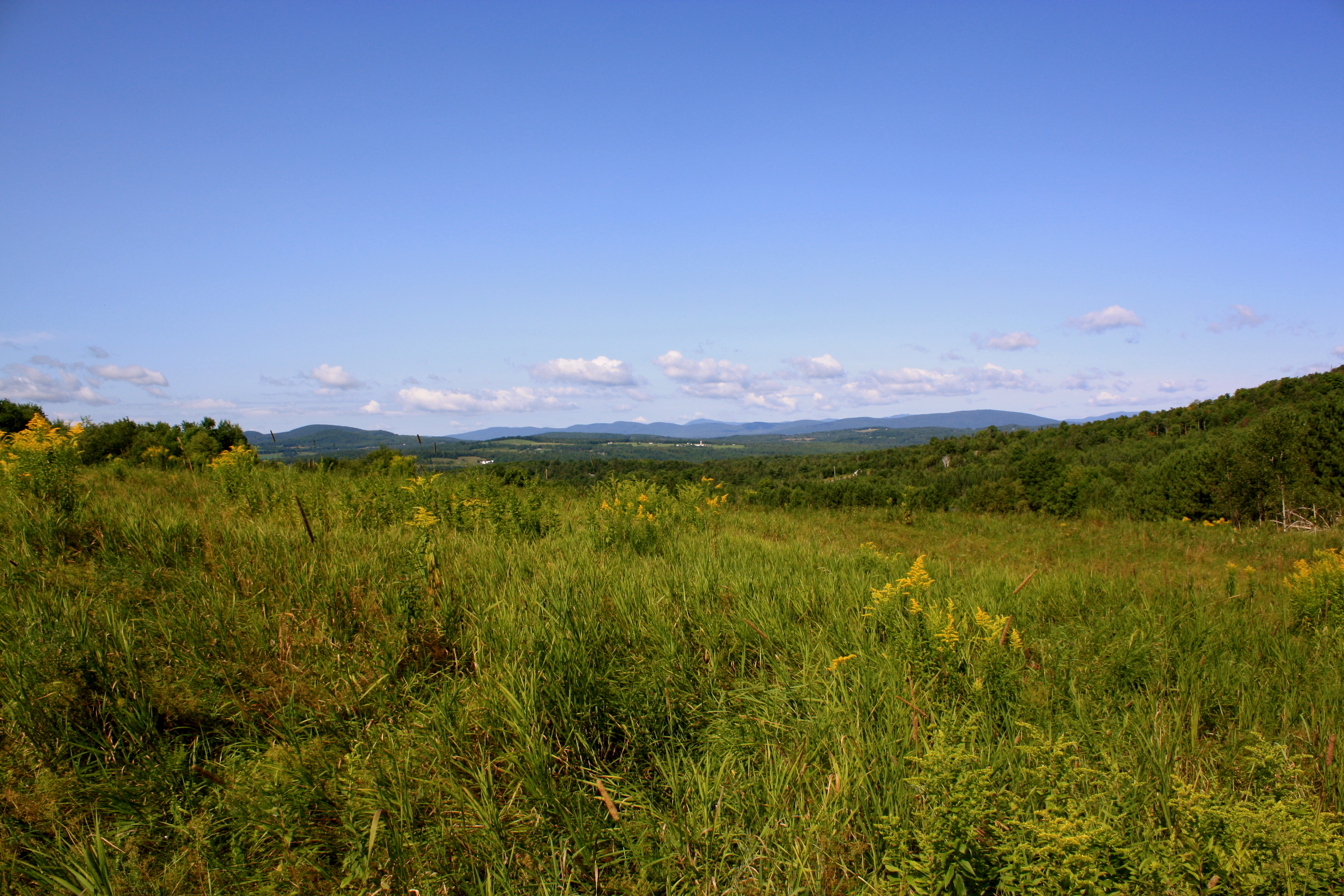
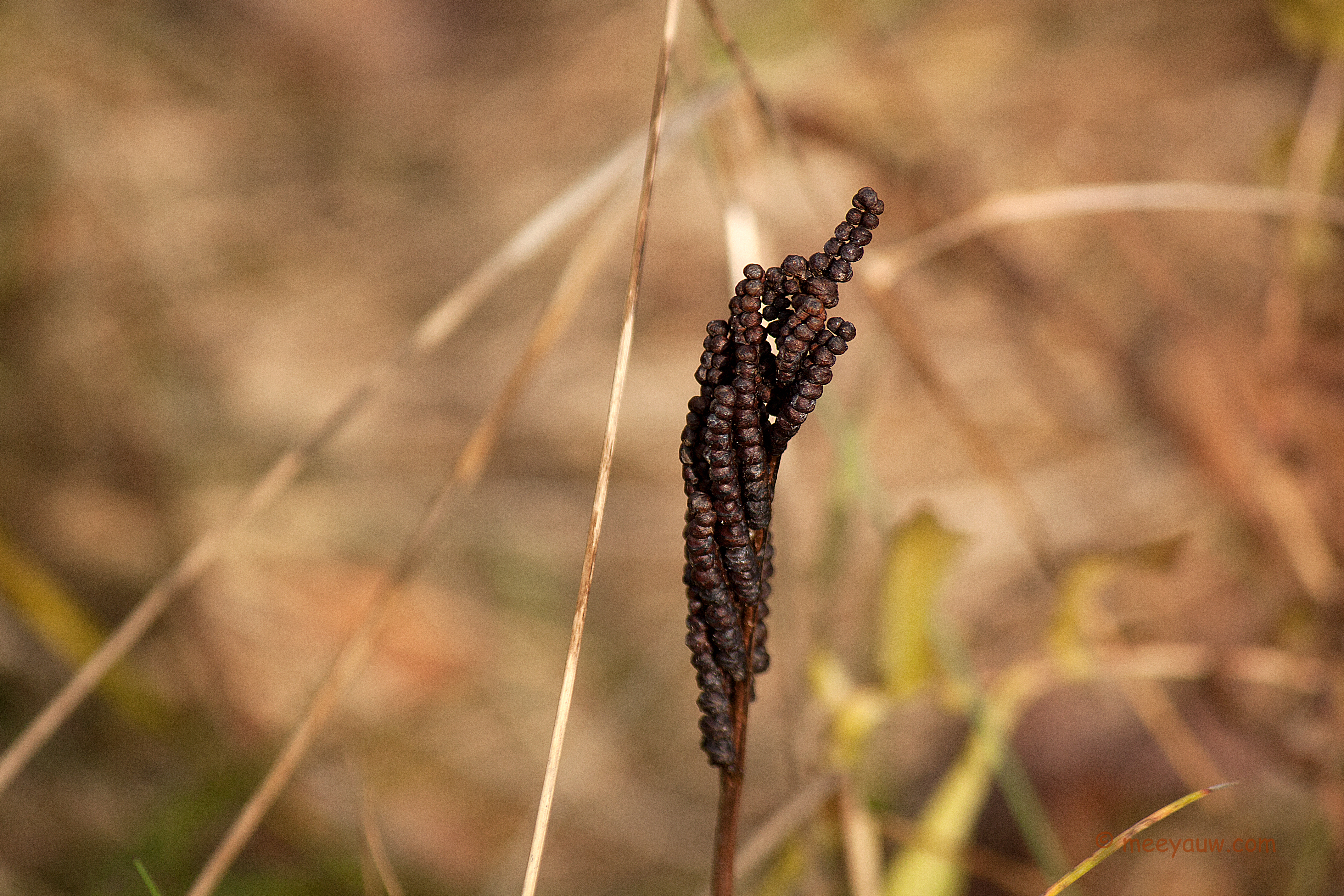
A Gap
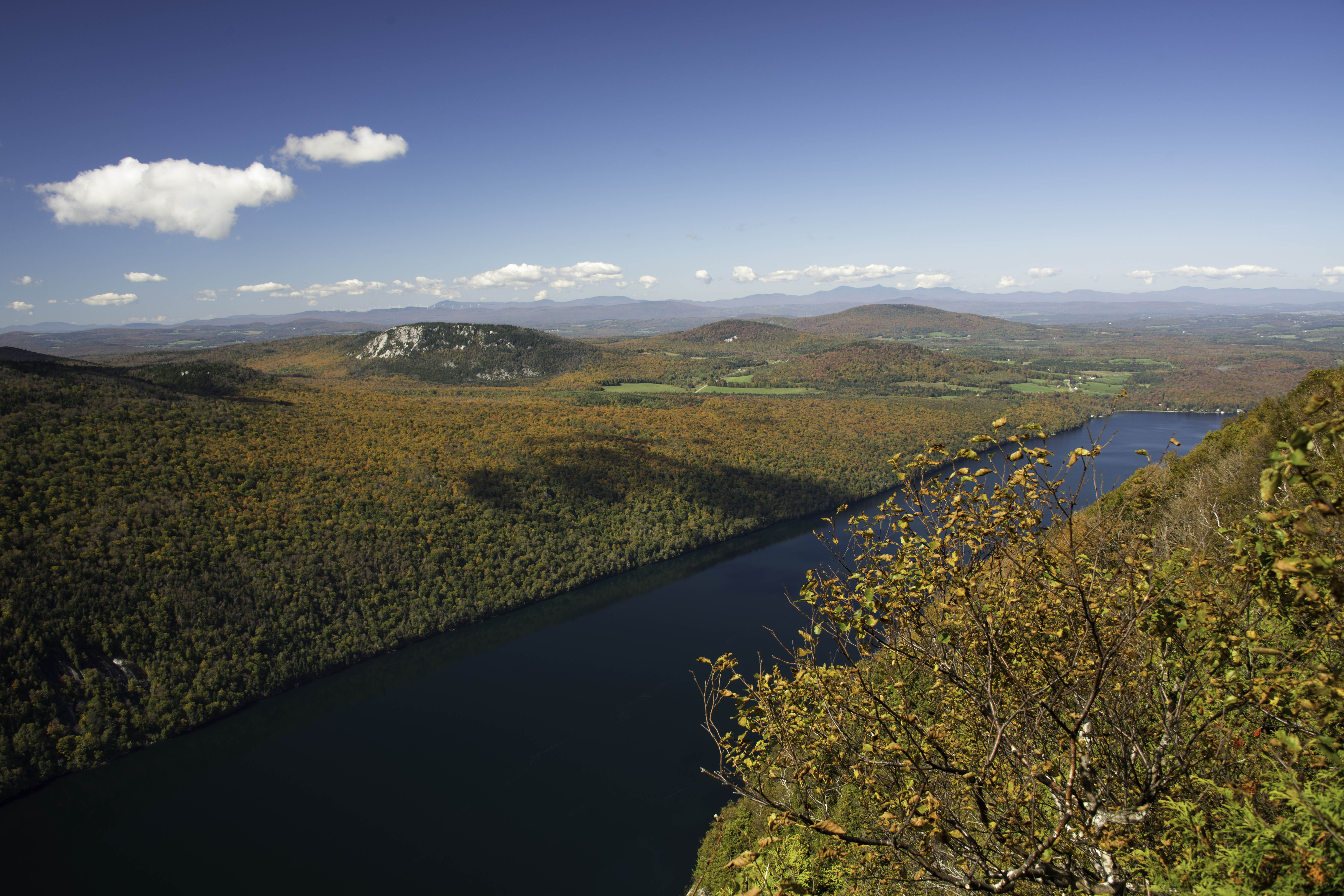
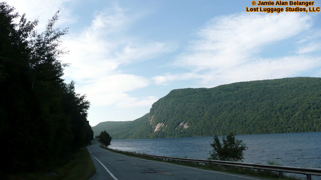
Lake Willoughby

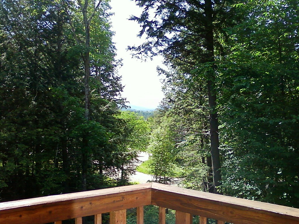
Looking Out the Barn Window

Mountain View Inn Barn
Riding the trails

Where have I been?
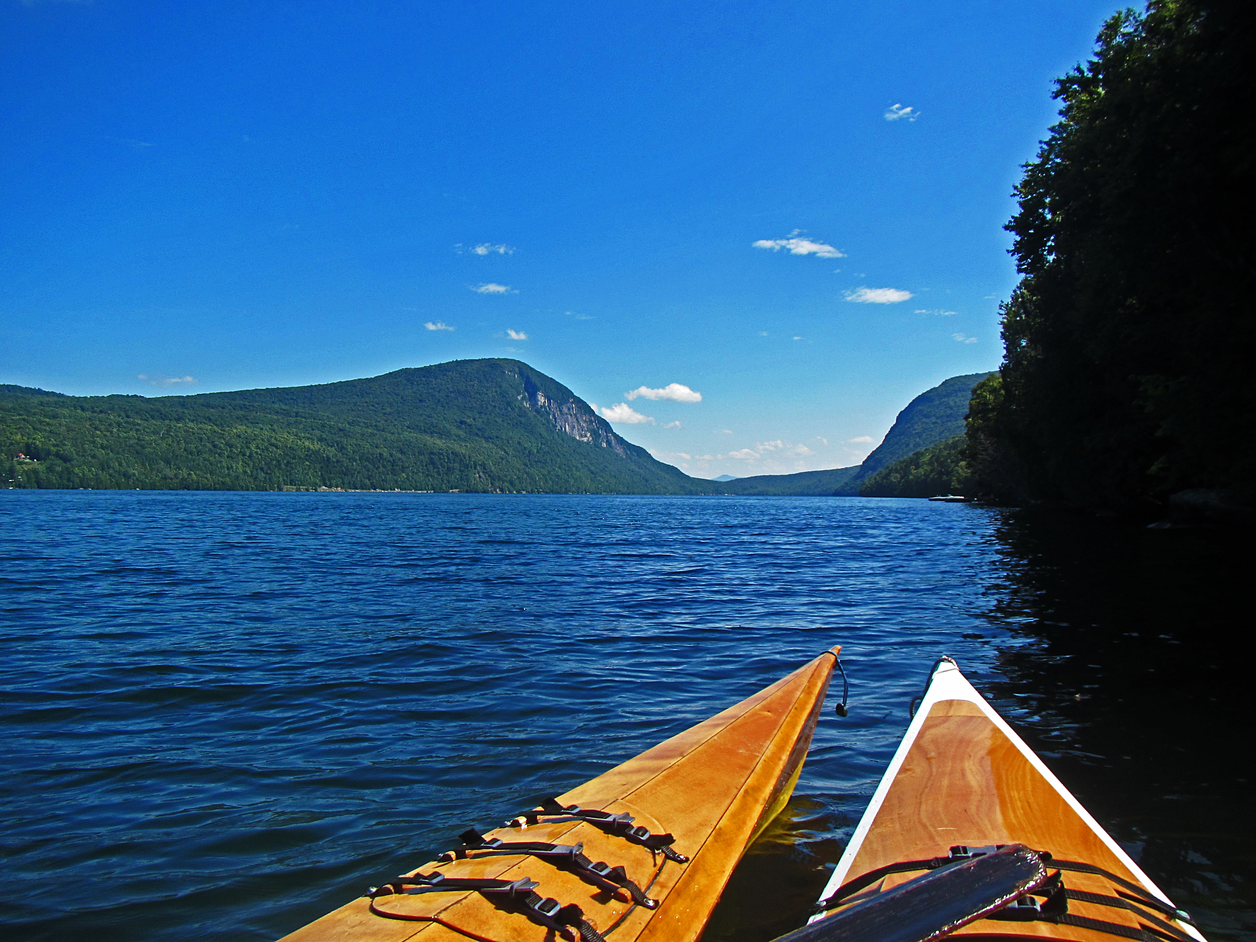
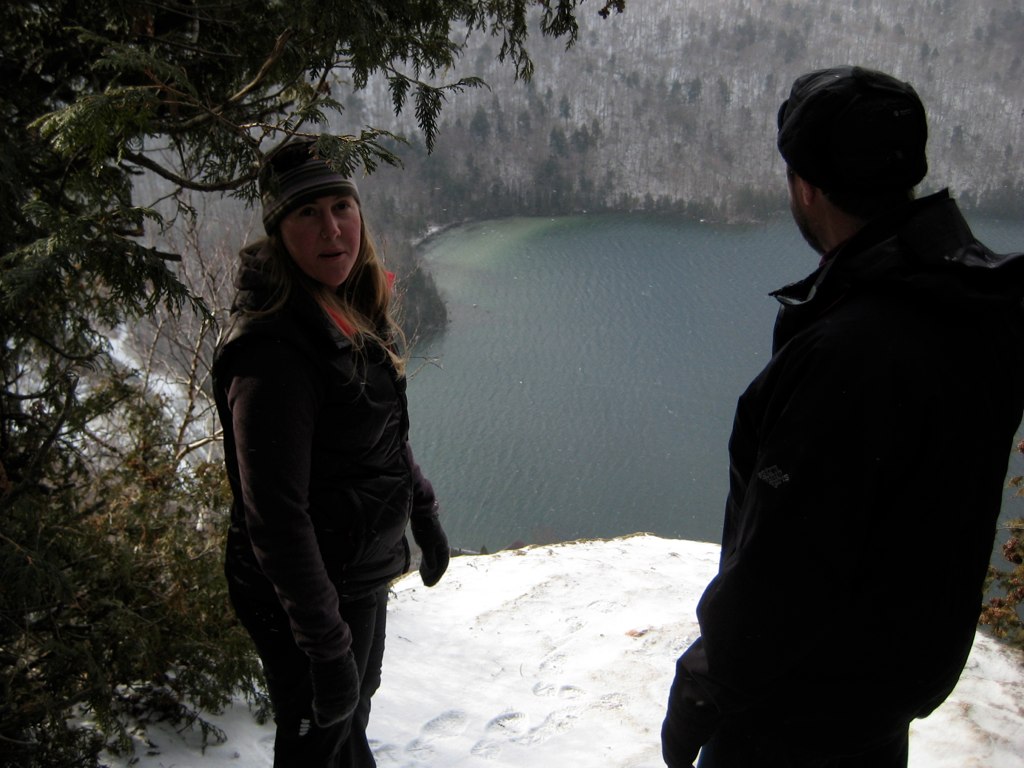
Lake Willoughby Kayker's View
Lake view

Lake view

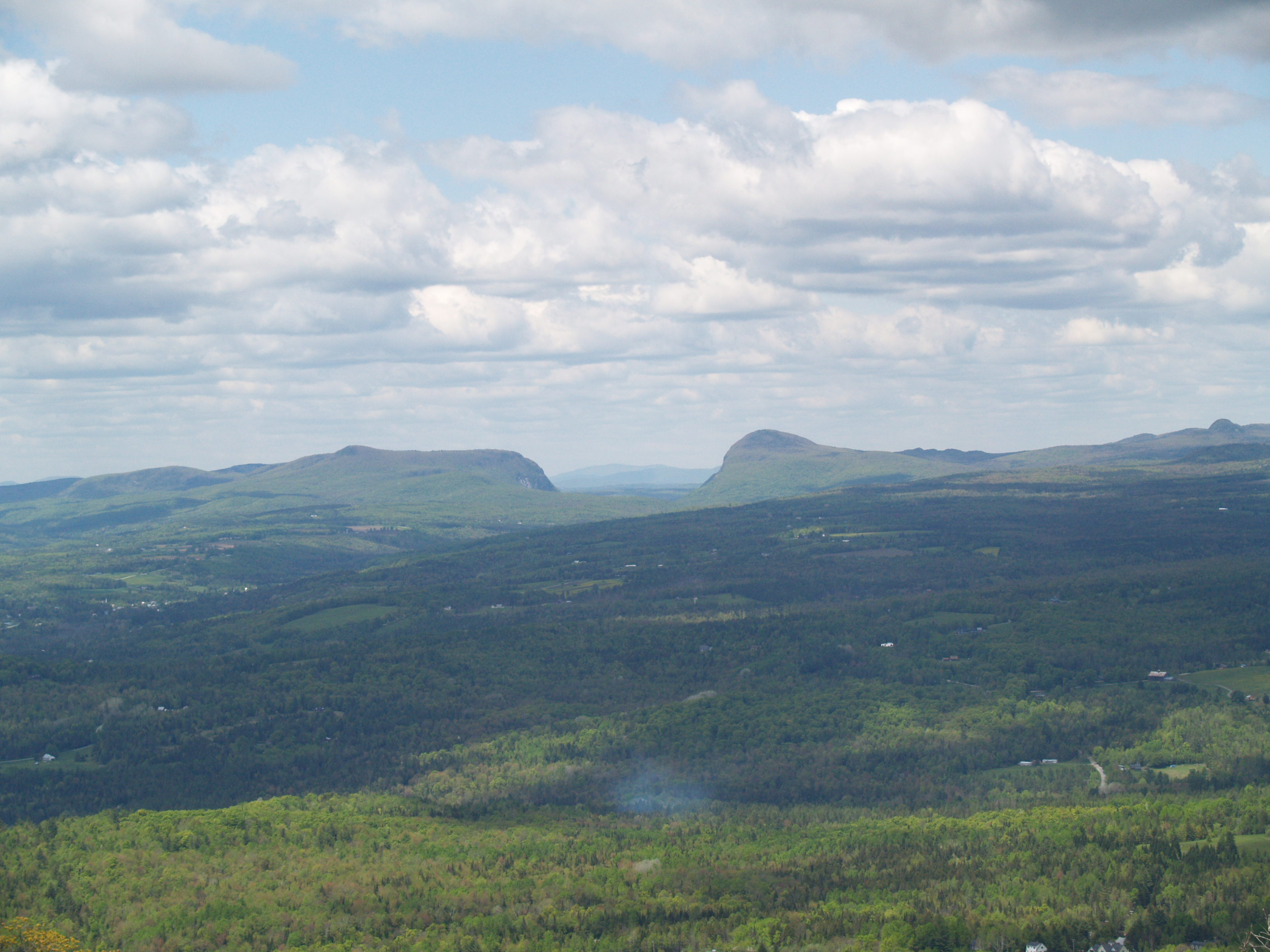
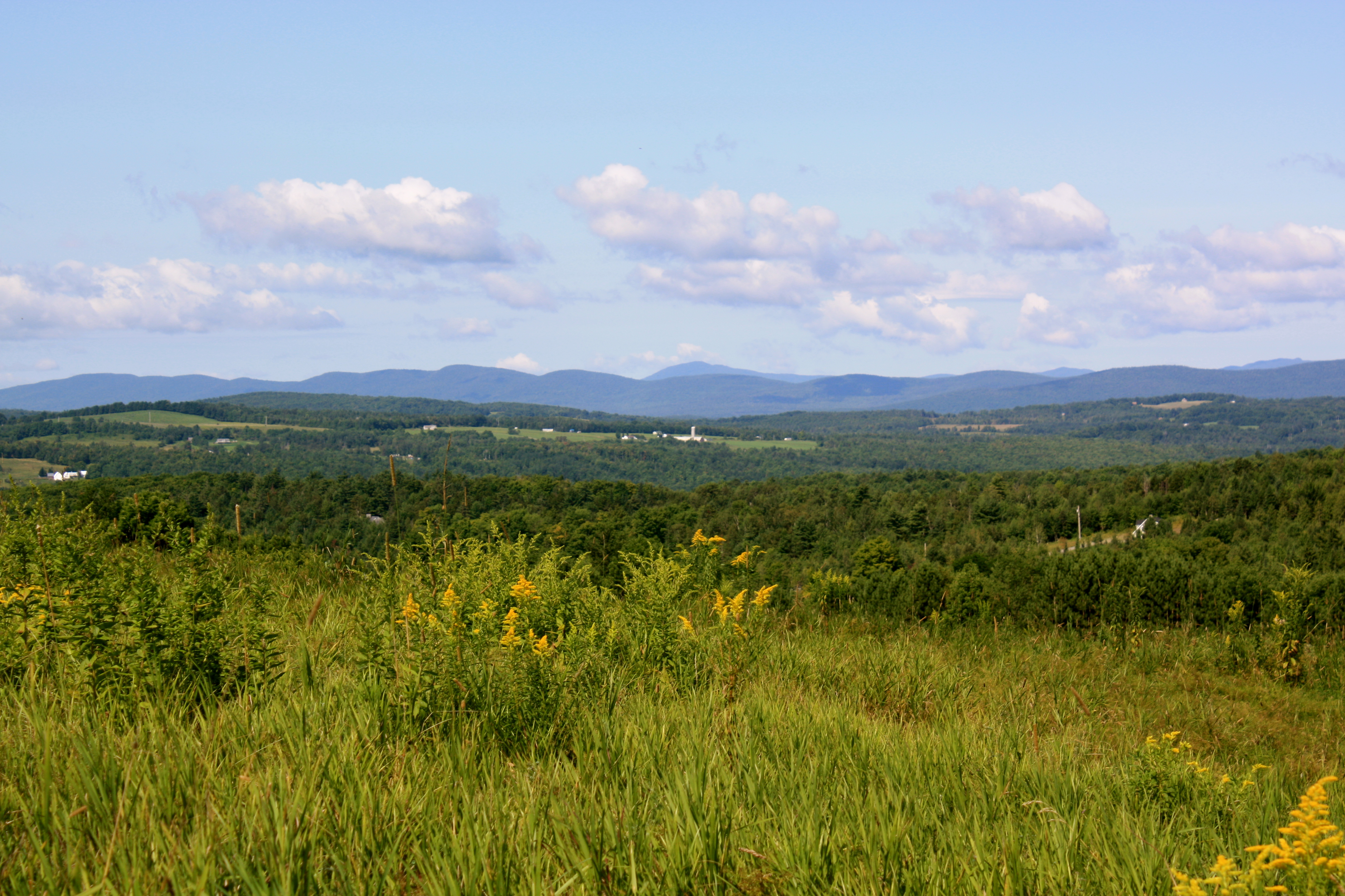
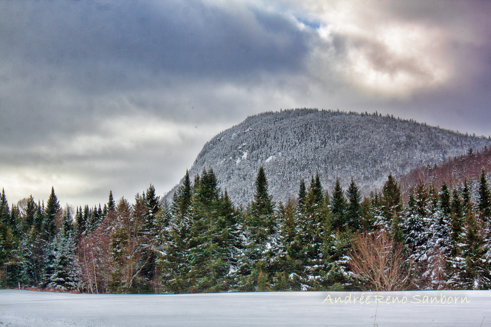
Bald Mt View

Lake view
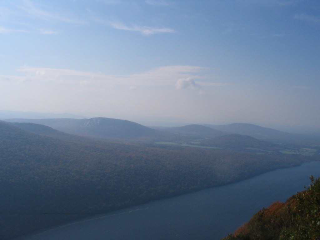
Lake Willoughby

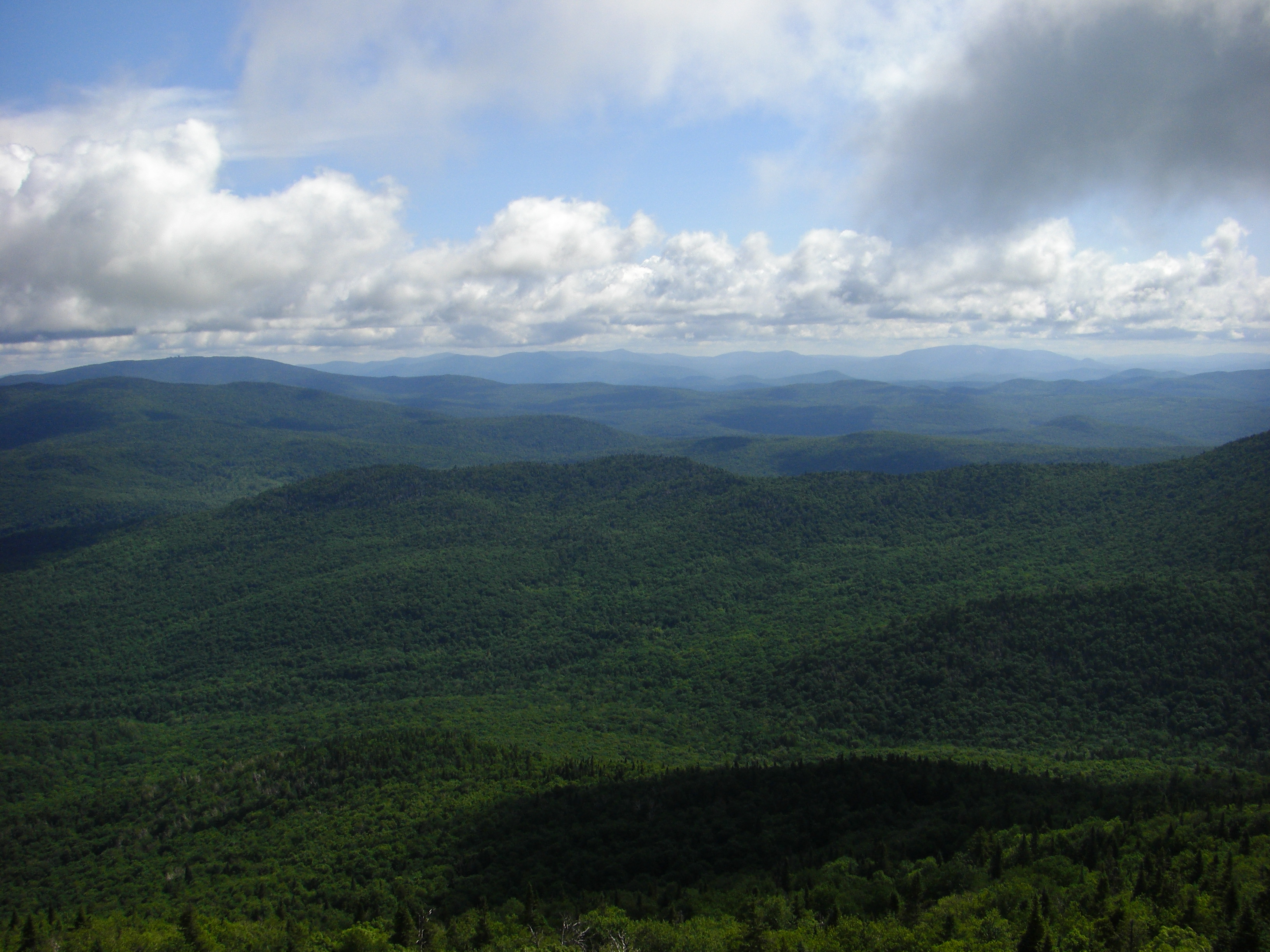
Fire Tower View
Dog Walk 8/13/08 Doyle Road - 10
P1080806-LakeWilloughby
Dog Walk 8/13/08 Doyle Road - 11

Dog Walk 8/13/08 Doyle Road - 13
Dog Walk 8/13/08 Doyle Road - 12
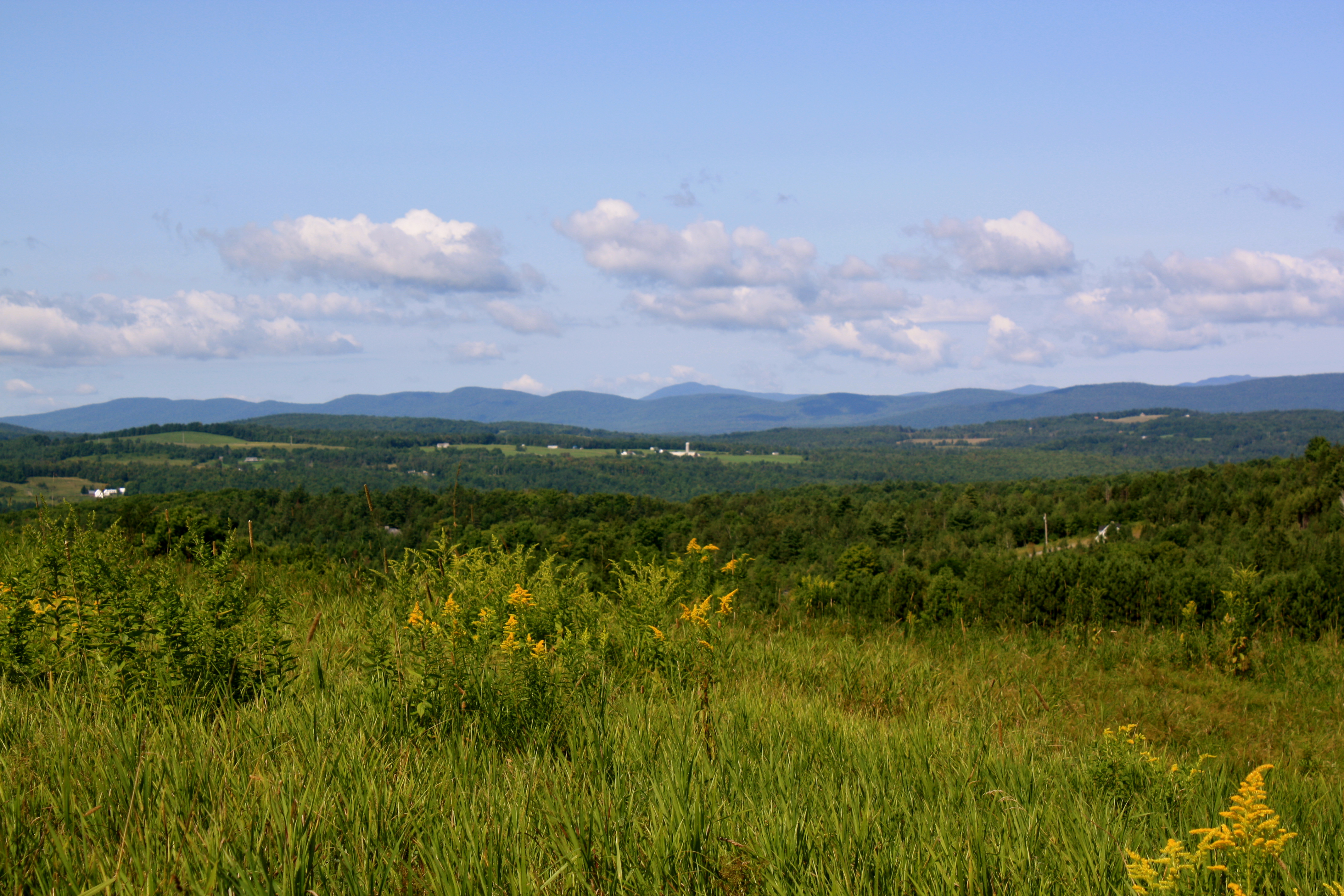
Mountain View
Dog Walk 8/13/08 Doyle Road - 16
Dog Walk 8/13/08 Doyle Road - 14

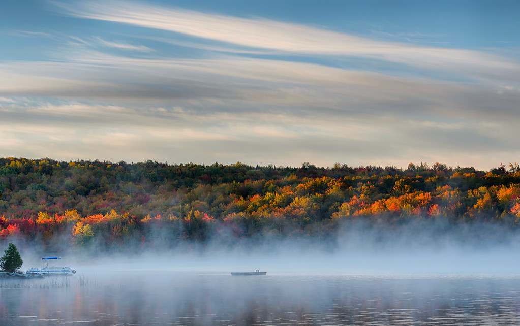
Morning Fog
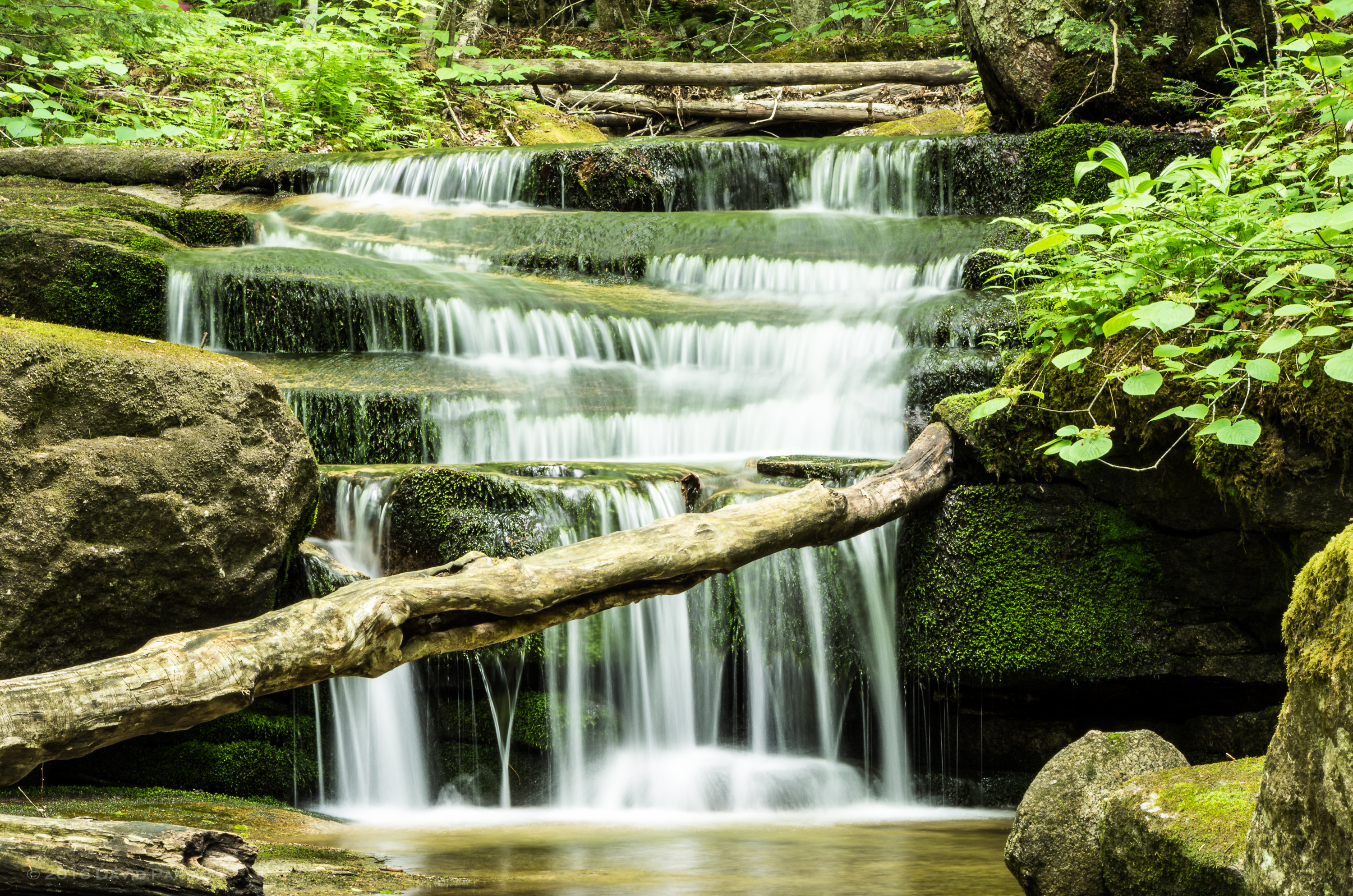
Jack Brook waterfall
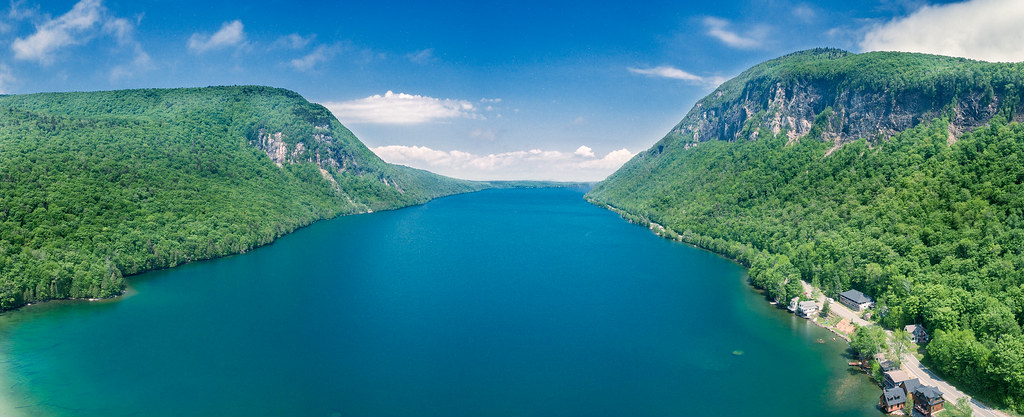
Lake Willoughby by DJI Phantom 4

untitled shoot-1139-Edit.jpg

Mile 22. #mrcktweekend #circumburke
vt_hdr_048.jpg

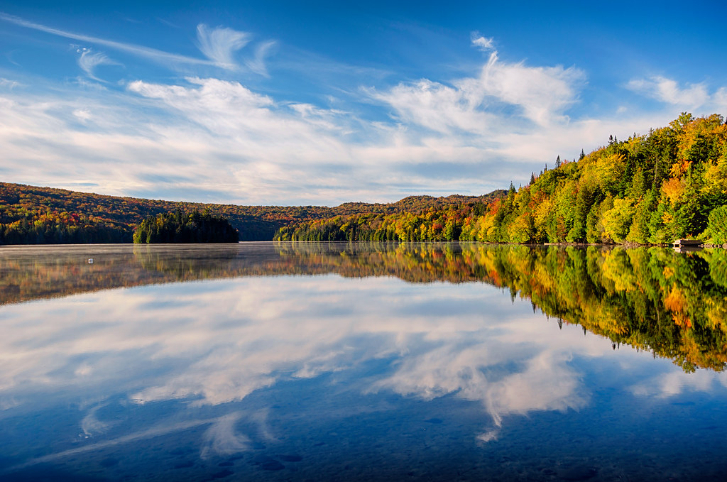
309/366: On Willoughby
End of summer 02.jpg
vt_hdr_054.jpg

Northern Crescent (Phyciodes cocyta) (June 26, 2013) 02

#latergram #mrcktweekend

Northern Crescent (Phyciodes cocyta) (June 25, 2013) 02

Wheeler Mountain (2013.01.05) 05

Jack Brook waterfall
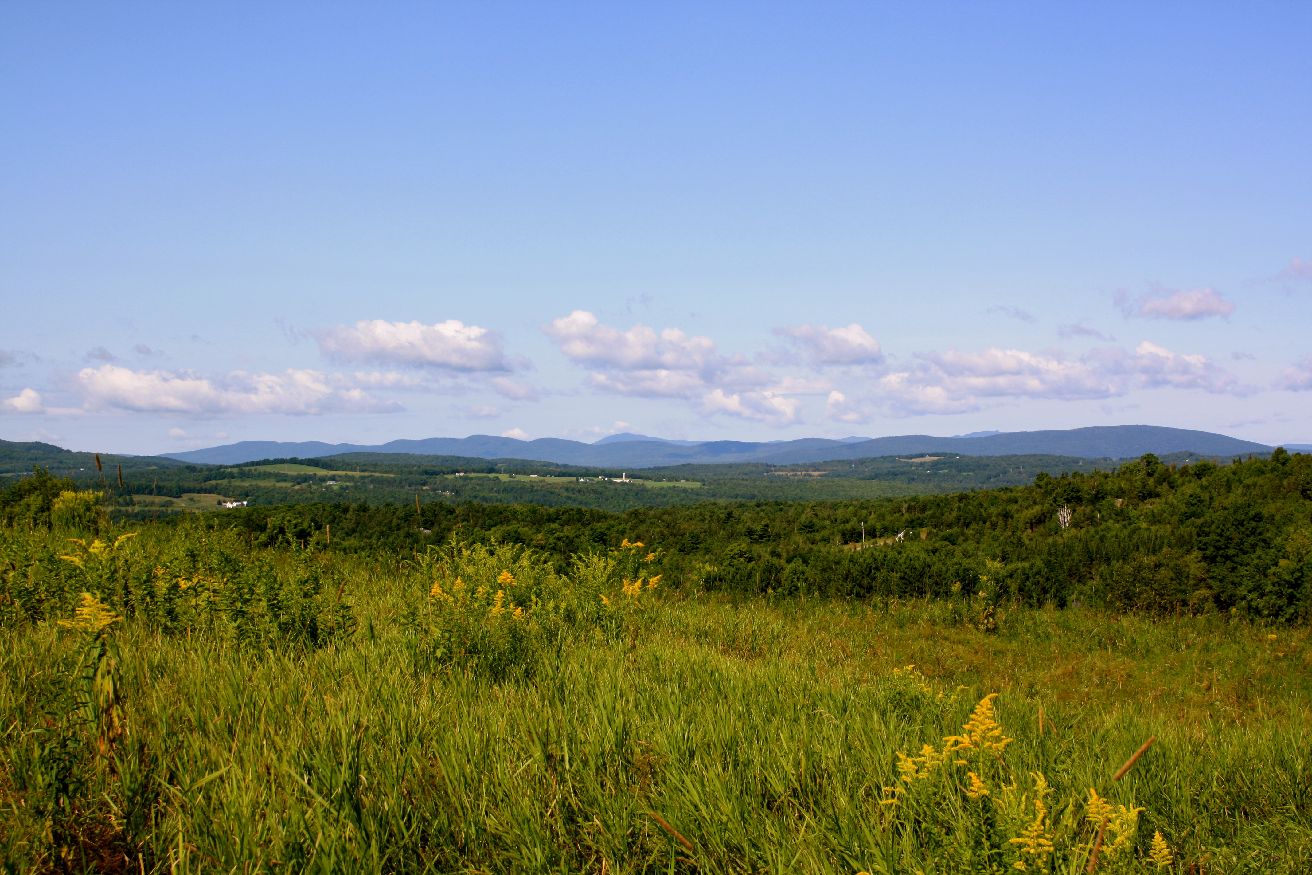
Northeast Kingdom, Vermont
Wheeler Mountain (2013.01.05) 08

Jack Brook waterfall
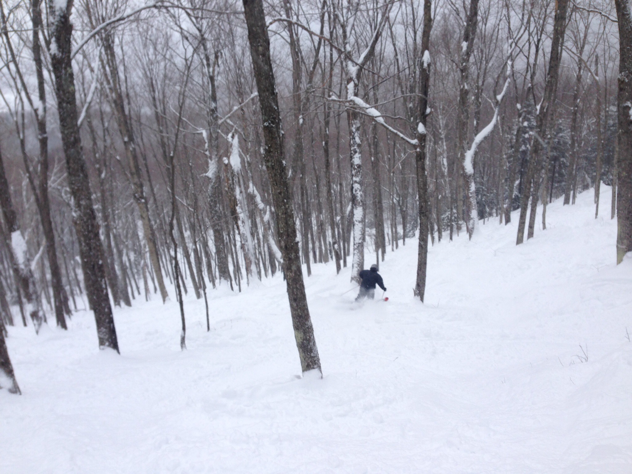
Burke Skiing
Topographic Map of School House Rd, West Burke, VT, USA
Find elevation by address:

Places near School House Rd, West Burke, VT, USA:
School House Road
1748 Newark St
358 Rocky Rd
Newark Pond
3372 Vt-5a
3372 Vt-5a
3372 Vt-5a
3372 Vt-5a
3372 Vt-5a
1000 Abbott Hill Rd
1000 Abbott Hill Rd
1000 Abbott Hill Rd
1000 Abbott Hill Rd
76 Kinney Hill Rd, West Burke, VT, USA
1455 Vt-5a
Newark
99 Newark St
2235 E Hill Rd
1991 Center Pond Rd
Center Pond Road
Recent Searches:
- Elevation of Corso Fratelli Cairoli, 35, Macerata MC, Italy
- Elevation of Tallevast Rd, Sarasota, FL, USA
- Elevation of 4th St E, Sonoma, CA, USA
- Elevation of Black Hollow Rd, Pennsdale, PA, USA
- Elevation of Oakland Ave, Williamsport, PA, USA
- Elevation of Pedrógão Grande, Portugal
- Elevation of Klee Dr, Martinsburg, WV, USA
- Elevation of Via Roma, Pieranica CR, Italy
- Elevation of Tavkvetili Mountain, Georgia
- Elevation of Hartfords Bluff Cir, Mt Pleasant, SC, USA