Elevation of Schneidbach 6, Schneidbach, Austria
Location: Austria > Lower Austria > Lilienfeld District > Gemeinde Ramsau > Schneidbach >
Longitude: 15.7896226
Latitude: 47.9857731
Elevation: 605m / 1985feet
Barometric Pressure: 94KPa
Elevation Map:
Satellite Map:
Related Photos:

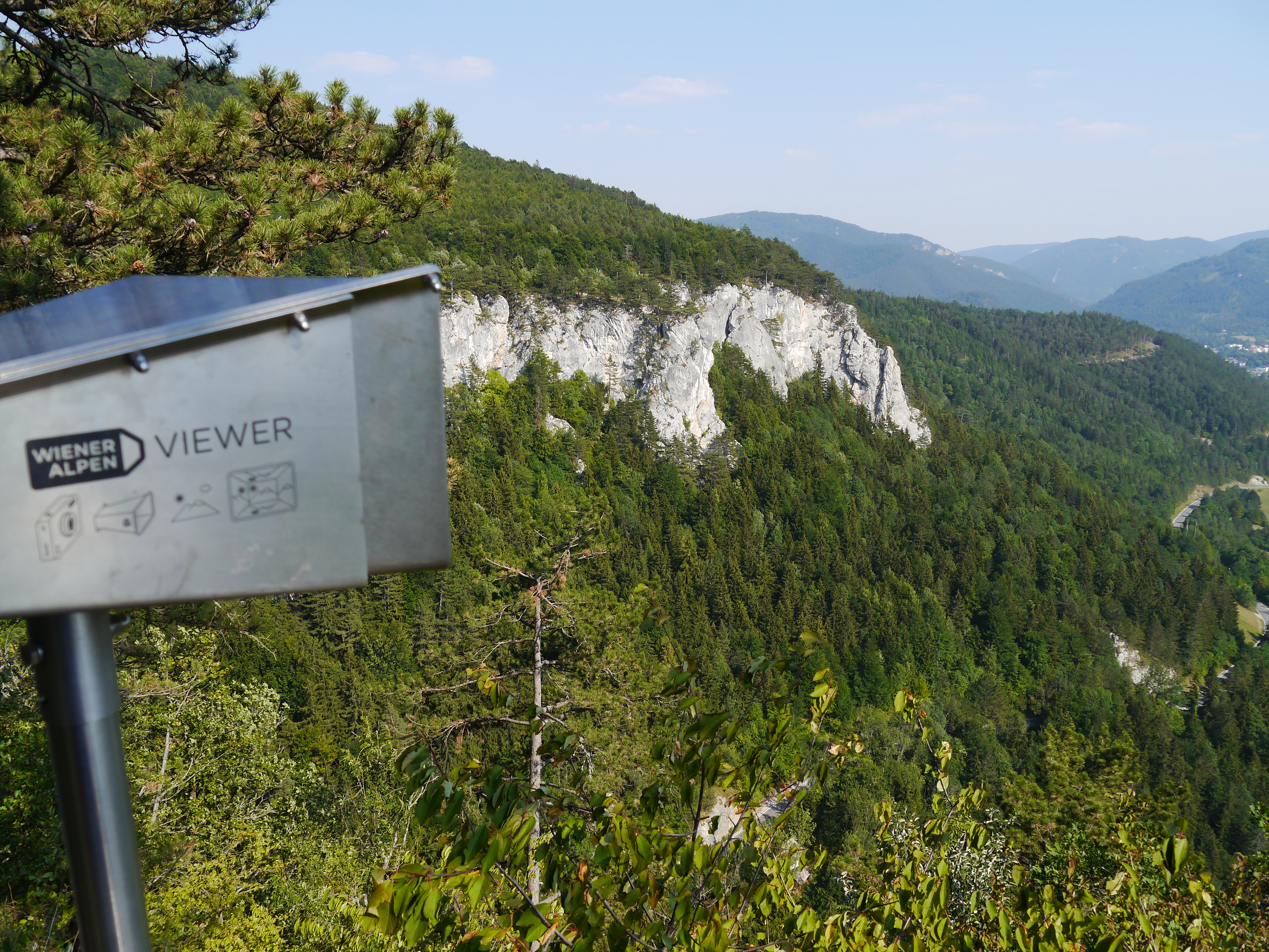
View from Araburg

The Right Way

Myra Falls
Muggendorf, Hausstein View

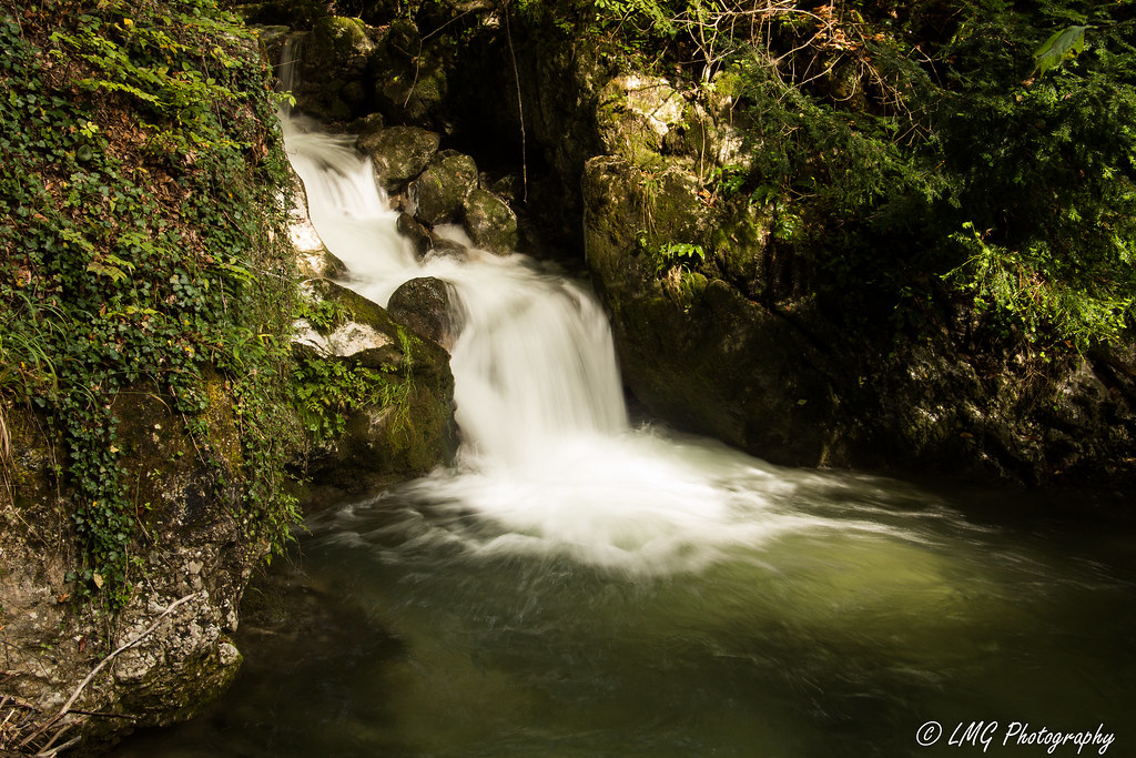
Myra Wasserfälle

Myra Wasserfälle
Spring in Eastern Alps

Myra Wasserfälle

Myra Wasserfälle
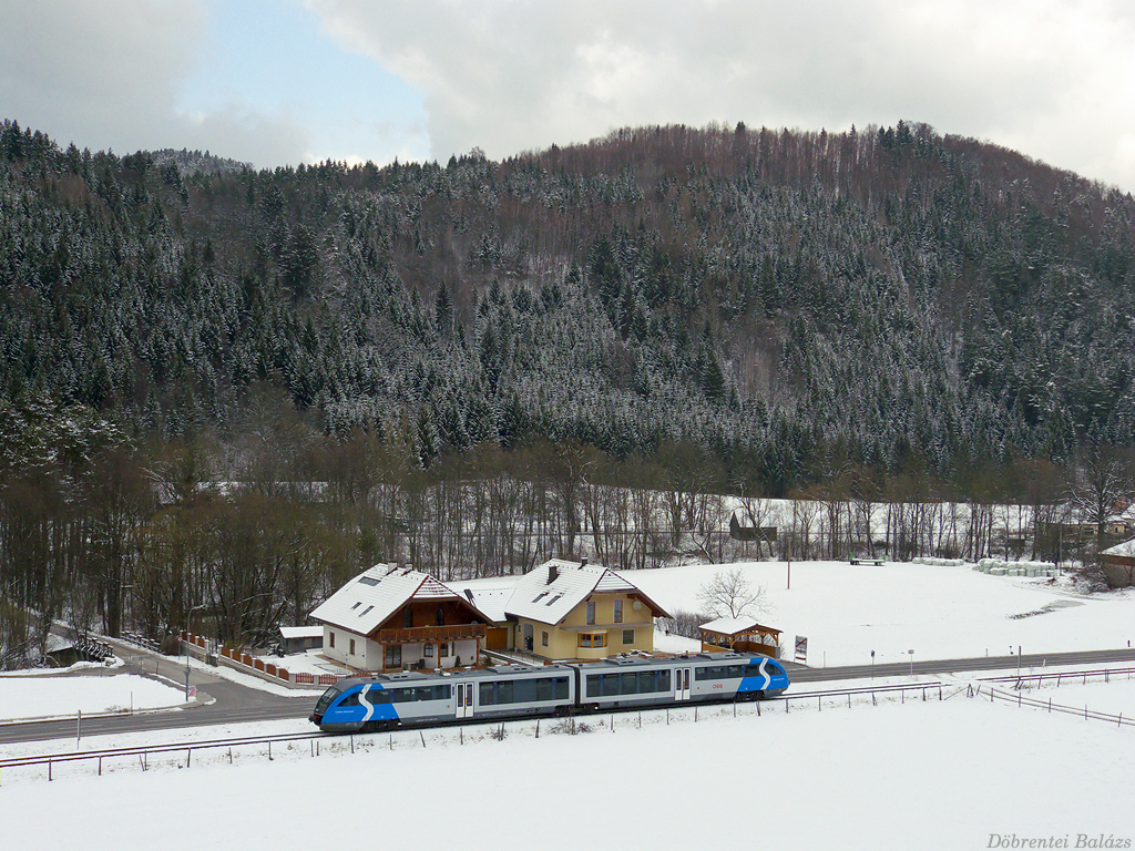
ÖBB 5022.045
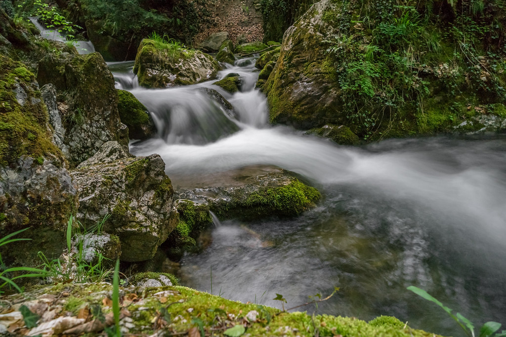
Myrafälle III

Myra Wasserfälle

Myra Fälle

Myra Fälle

Myra Fälle

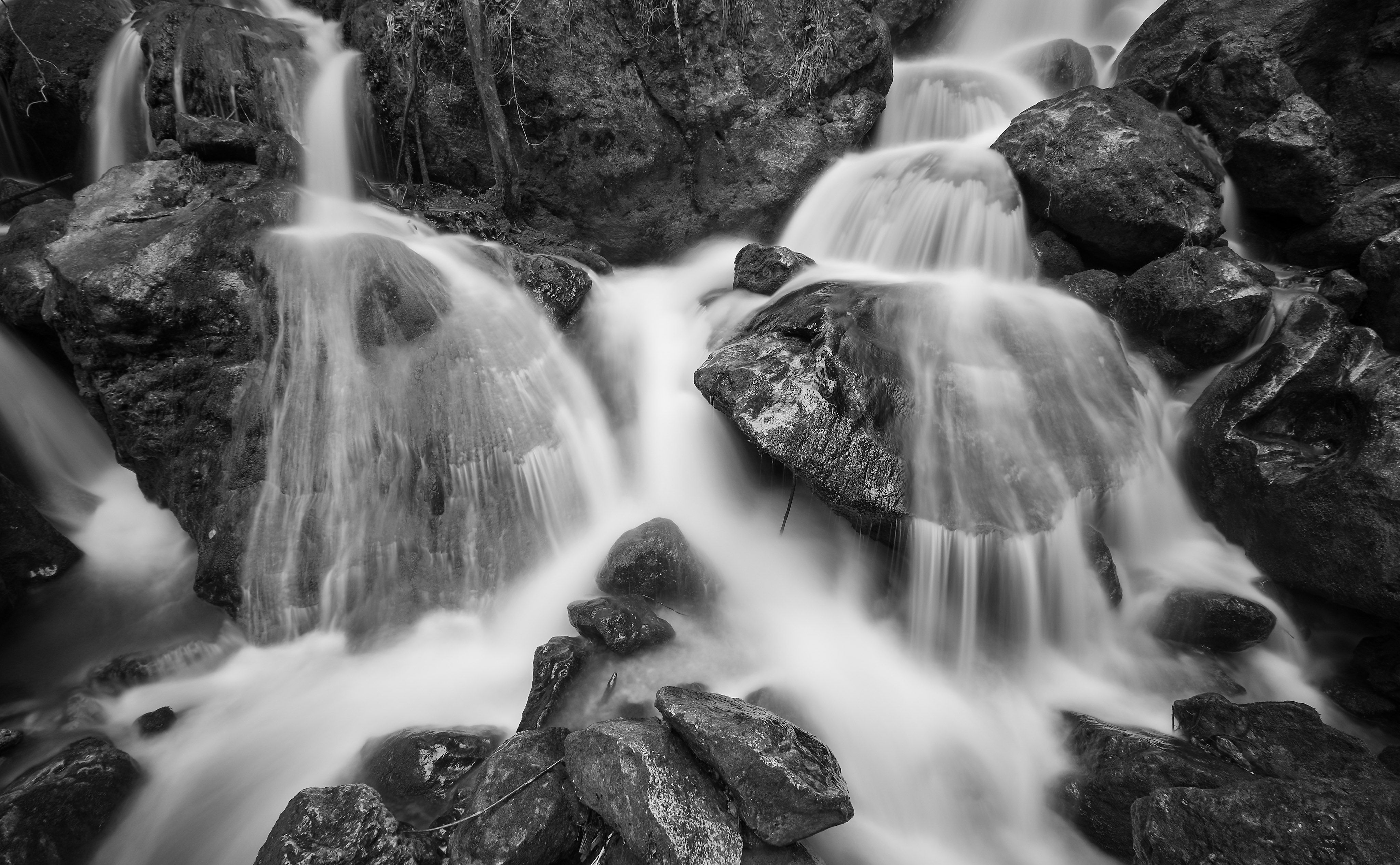
Myra Fälle (B&W)

Myra Wasserfälle

ötscher
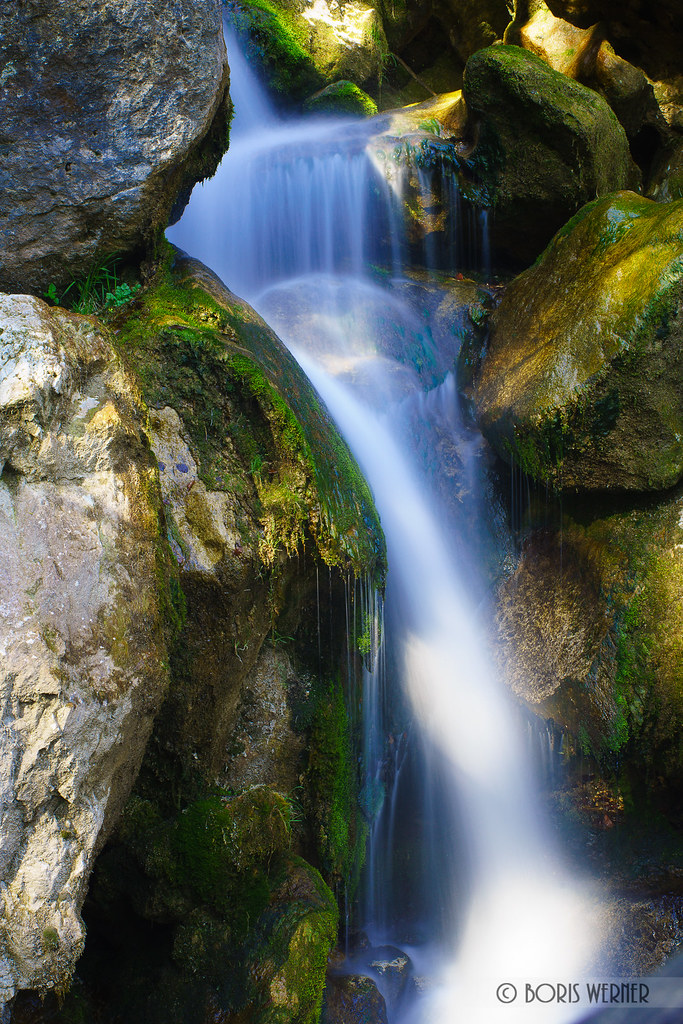
Myrafälle (Myra Falls)
Mryafaelle II

Myrafälle II

Bridge at Myrafälle
DSC00356.jpg
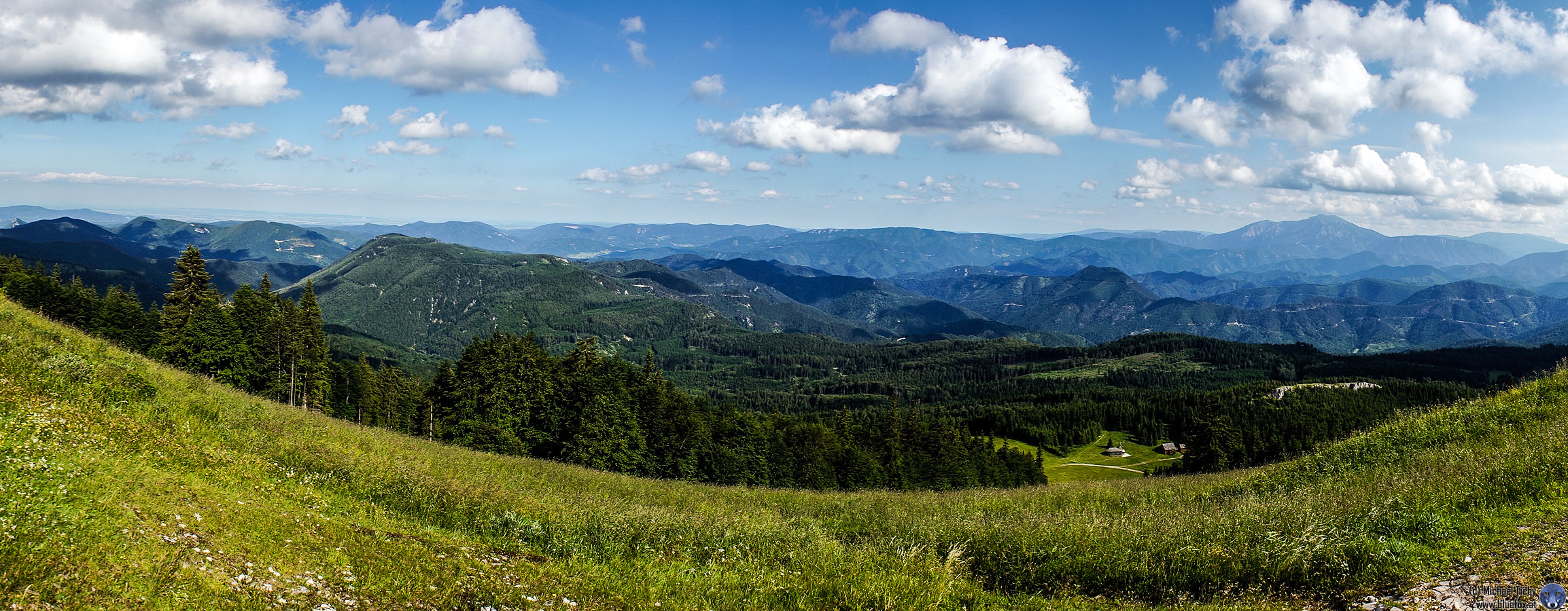
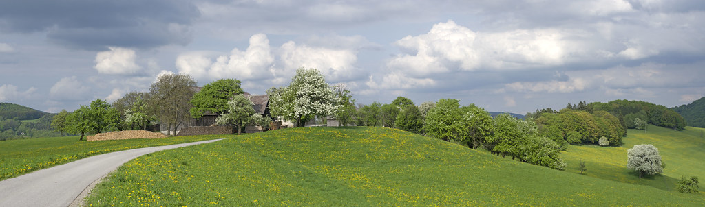
Unterberg Panorama
Topographic Map of Schneidbach 6, Schneidbach, Austria
Find elevation by address:

Places near Schneidbach 6, Schneidbach, Austria:
Schneidbach
Gaupmannsgraben 21
Kleinzell
Kleinzell 35, Kleinzell, Austria
Klausbach 11, Rohr im Gebirge, Austria
Innerhalbach 7, Innerhalbach, Austria
Ebenwald
Innerhalbach
Rohr Im Gebirge
Gemeinde Rohr Im Gebirge
Hochstaff
Krumbach 14, Rohr im Gebirge, Austria
Winsaberg 1, Rohr im Gebirge, Austria
Gutenstein Alps
5a
Andersbach 7, Andersbach, Austria
Hohenberg
Weißenbach 67, St. Aegyd am Neuwalde, Austria
Am Himmel 2, Zögersbach, Austria
Sankt Aegyd Am Neuwalde
Recent Searches:
- Elevation of Corso Fratelli Cairoli, 35, Macerata MC, Italy
- Elevation of Tallevast Rd, Sarasota, FL, USA
- Elevation of 4th St E, Sonoma, CA, USA
- Elevation of Black Hollow Rd, Pennsdale, PA, USA
- Elevation of Oakland Ave, Williamsport, PA, USA
- Elevation of Pedrógão Grande, Portugal
- Elevation of Klee Dr, Martinsburg, WV, USA
- Elevation of Via Roma, Pieranica CR, Italy
- Elevation of Tavkvetili Mountain, Georgia
- Elevation of Hartfords Bluff Cir, Mt Pleasant, SC, USA