Elevation of Schernikau, Vissum, Germany
Location: Germany > Saxony-anhalt > Vissum >
Longitude: 11.3926549
Latitude: 52.8303569
Elevation: 33m / 108feet
Barometric Pressure: 101KPa
Elevation Map:
Satellite Map:
Related Photos:

red and white

Sonnenstrahl im Wald
IMG_3354-IMG_3366
Altmark 1
Altmark 2
Arendsee - 21.6.2015

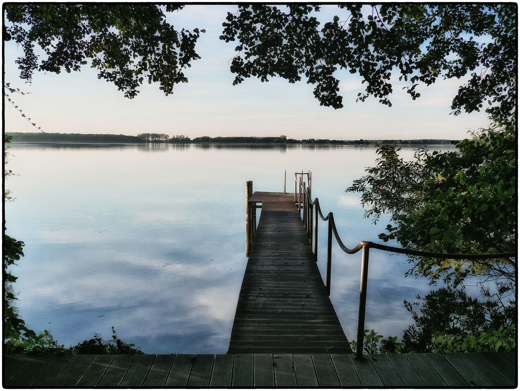
Scenery from Ice
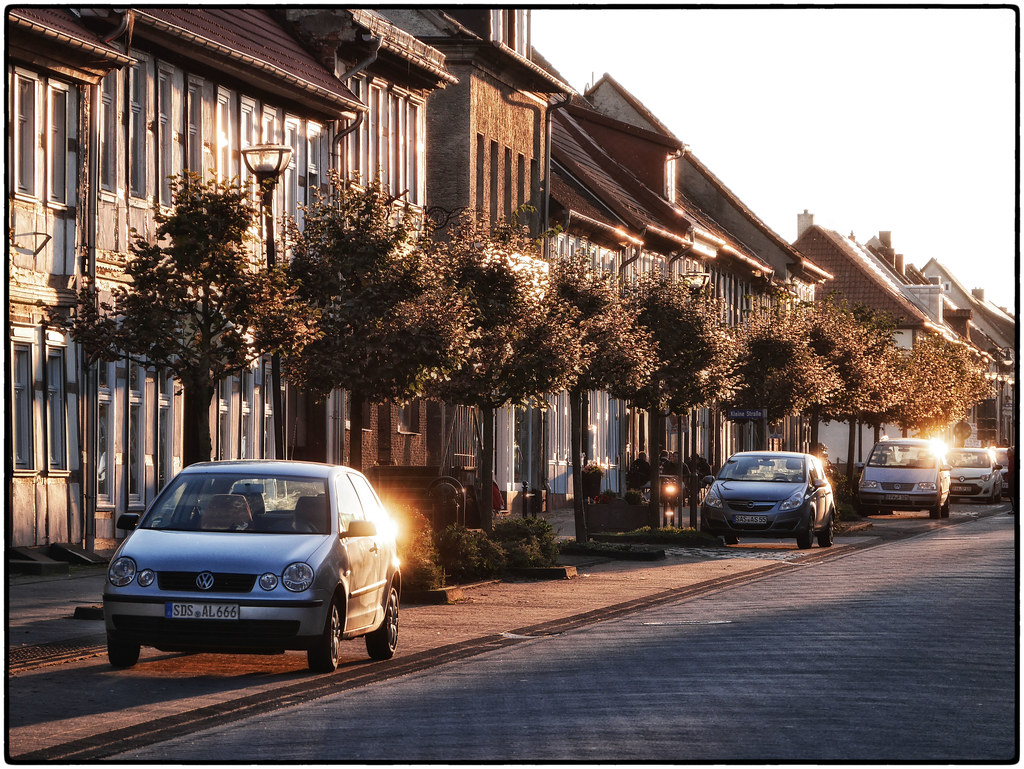
Sunny Eastside Of Mainstreet, Arendsee
Our Hotel's Pool, Arendsee
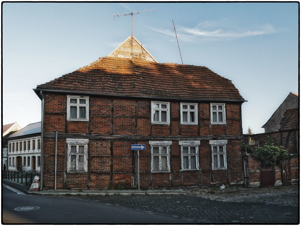
1A-Lage, Arendsee
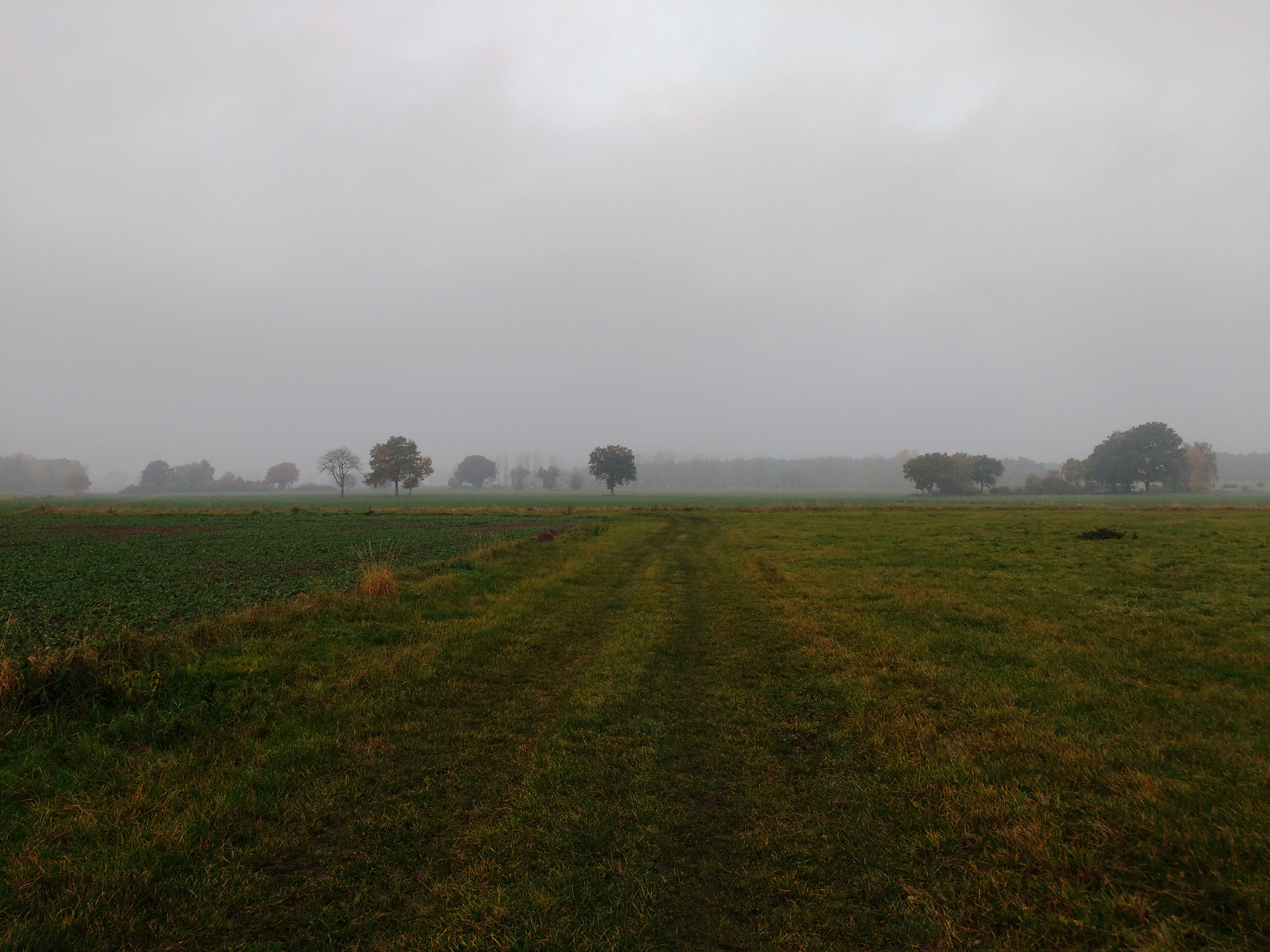
Altmark im Oktober
Tour zum Arendsee
Tour zum Arendsee

Tour zum Arendsee

Tour zum Arendsee
Topographic Map of Schernikau, Vissum, Germany
Find elevation by address:

Places in Schernikau, Vissum, Germany:
Places near Schernikau, Vissum, Germany:
Schernikau 21, Vissum, Germany
Vissum
Sanne-kerkuhn
Kerkuhn
Sanner Dorfstraße 29, Sanne-Kerkuhn, Germany
Mechau
Dorfstraße 5, Mechau, Germany
26a
Schrampe
Bockleben 2, Lemgow, Germany
Bockleben
5a
Liesten
37a
Zierau
Große Dorfstraße 12, Kalbe (Milde), Germany
Brunau
Jeggeleben
Rettungswache Arendsee
Ferienland Arendsee
Recent Searches:
- Elevation of Corso Fratelli Cairoli, 35, Macerata MC, Italy
- Elevation of Tallevast Rd, Sarasota, FL, USA
- Elevation of 4th St E, Sonoma, CA, USA
- Elevation of Black Hollow Rd, Pennsdale, PA, USA
- Elevation of Oakland Ave, Williamsport, PA, USA
- Elevation of Pedrógão Grande, Portugal
- Elevation of Klee Dr, Martinsburg, WV, USA
- Elevation of Via Roma, Pieranica CR, Italy
- Elevation of Tavkvetili Mountain, Georgia
- Elevation of Hartfords Bluff Cir, Mt Pleasant, SC, USA