Elevation of Scaffold Branch Rd, Elizabethton, TN, USA
Location: United States > Tennessee > Carter County > Elizabethton >
Longitude: -82.219702
Latitude: 36.286483
Elevation: 597m / 1959feet
Barometric Pressure: 94KPa
Elevation Map:
Satellite Map:
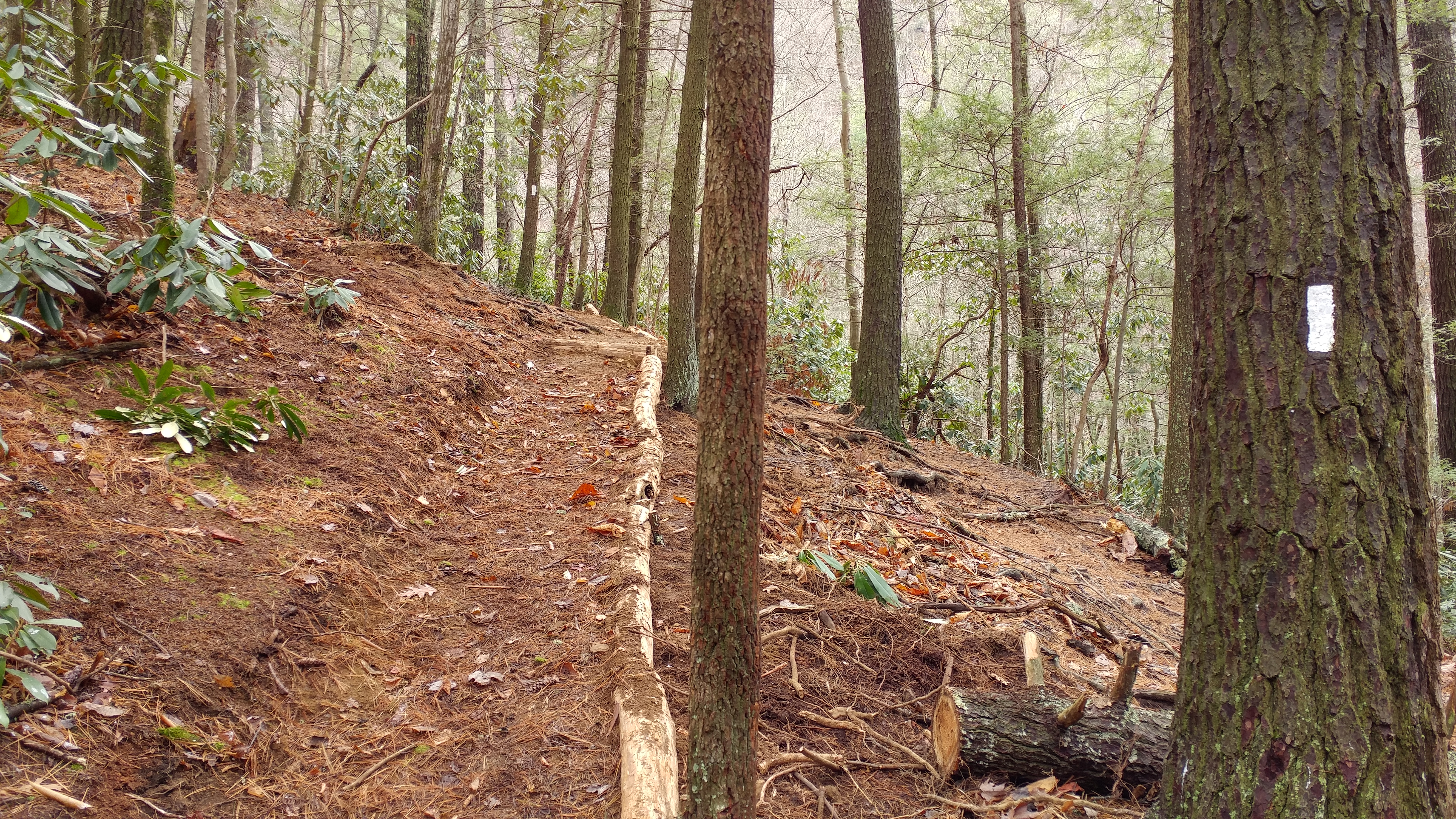
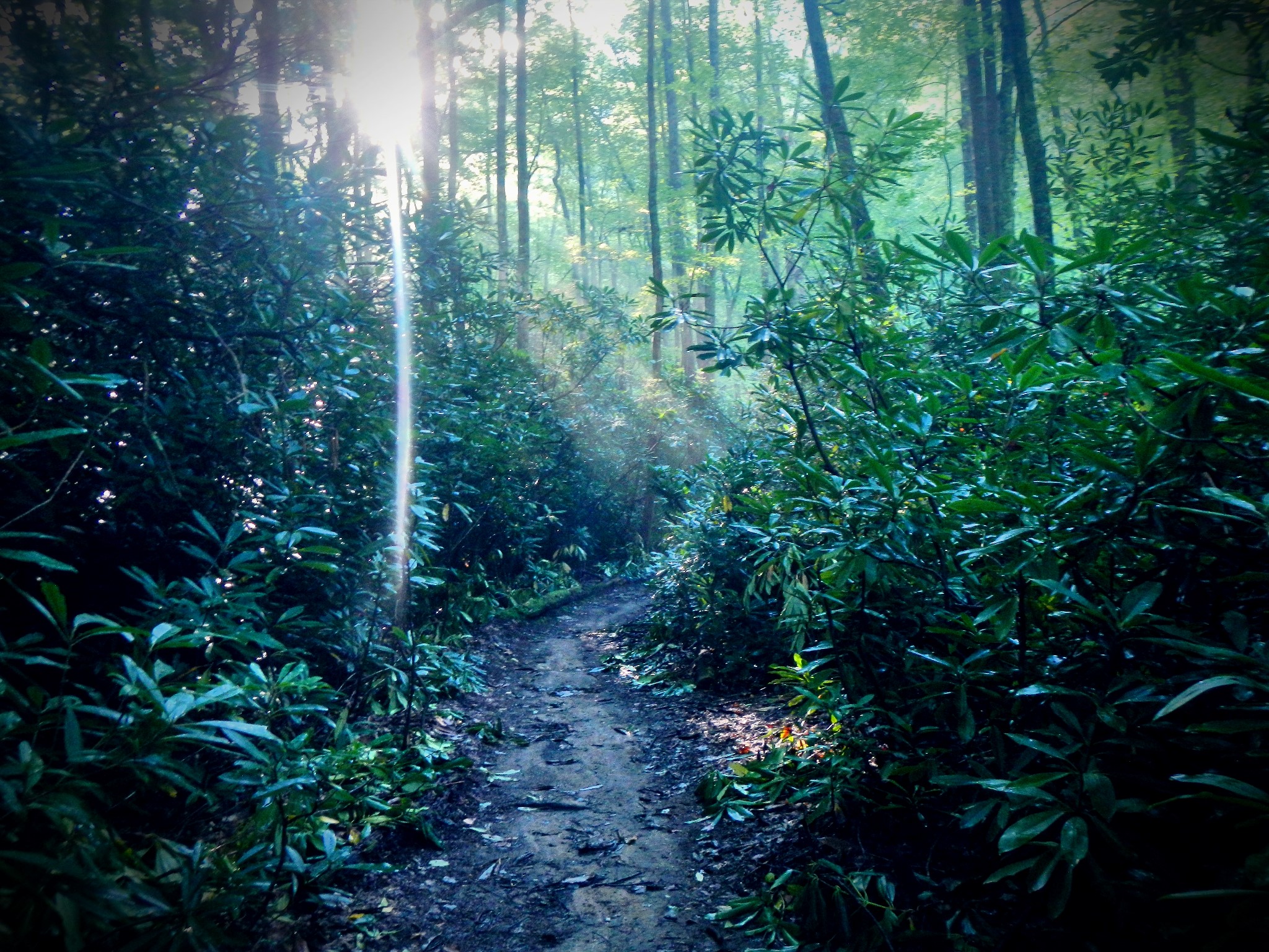
Related Photos:

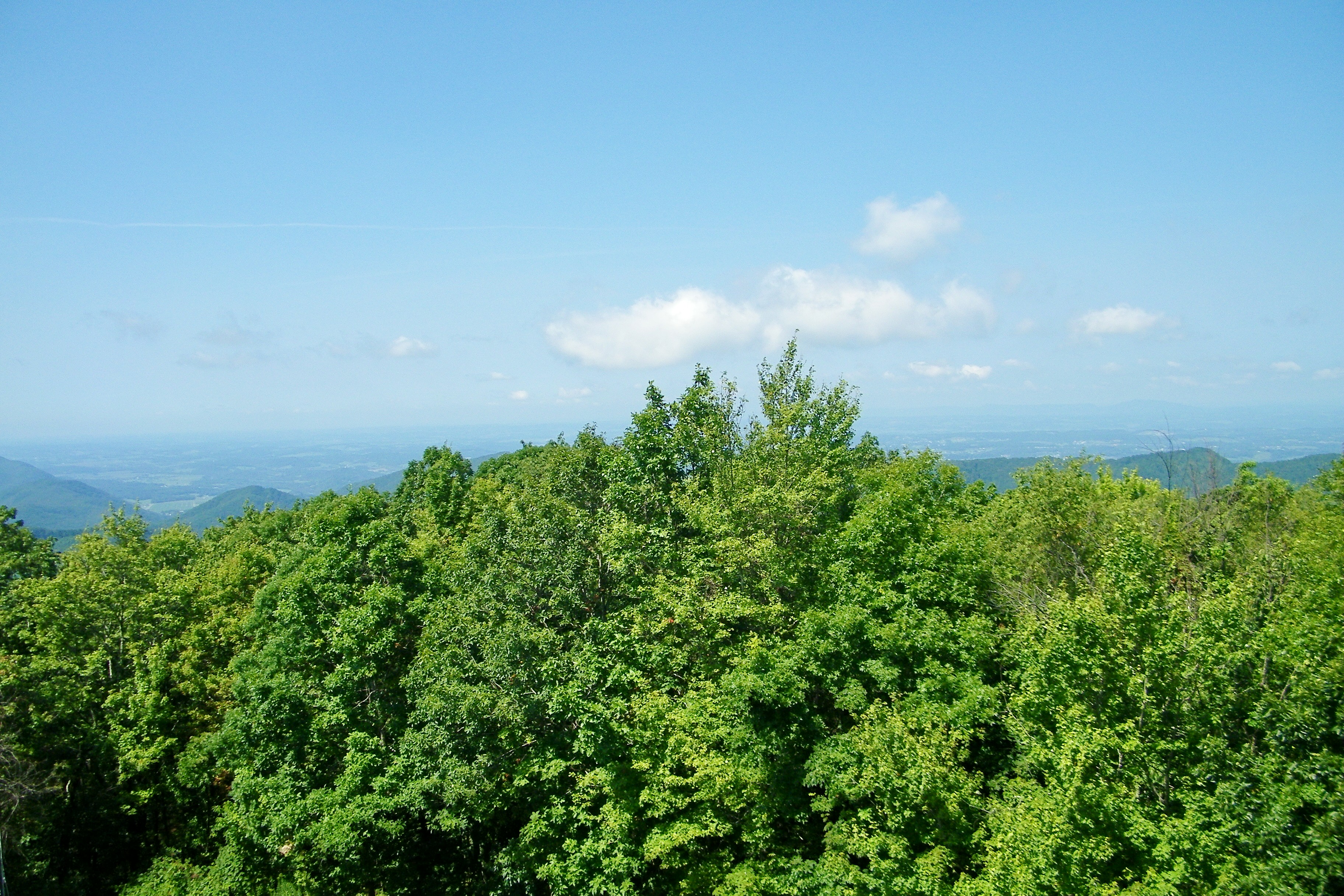
The World From the Top of Round Bald
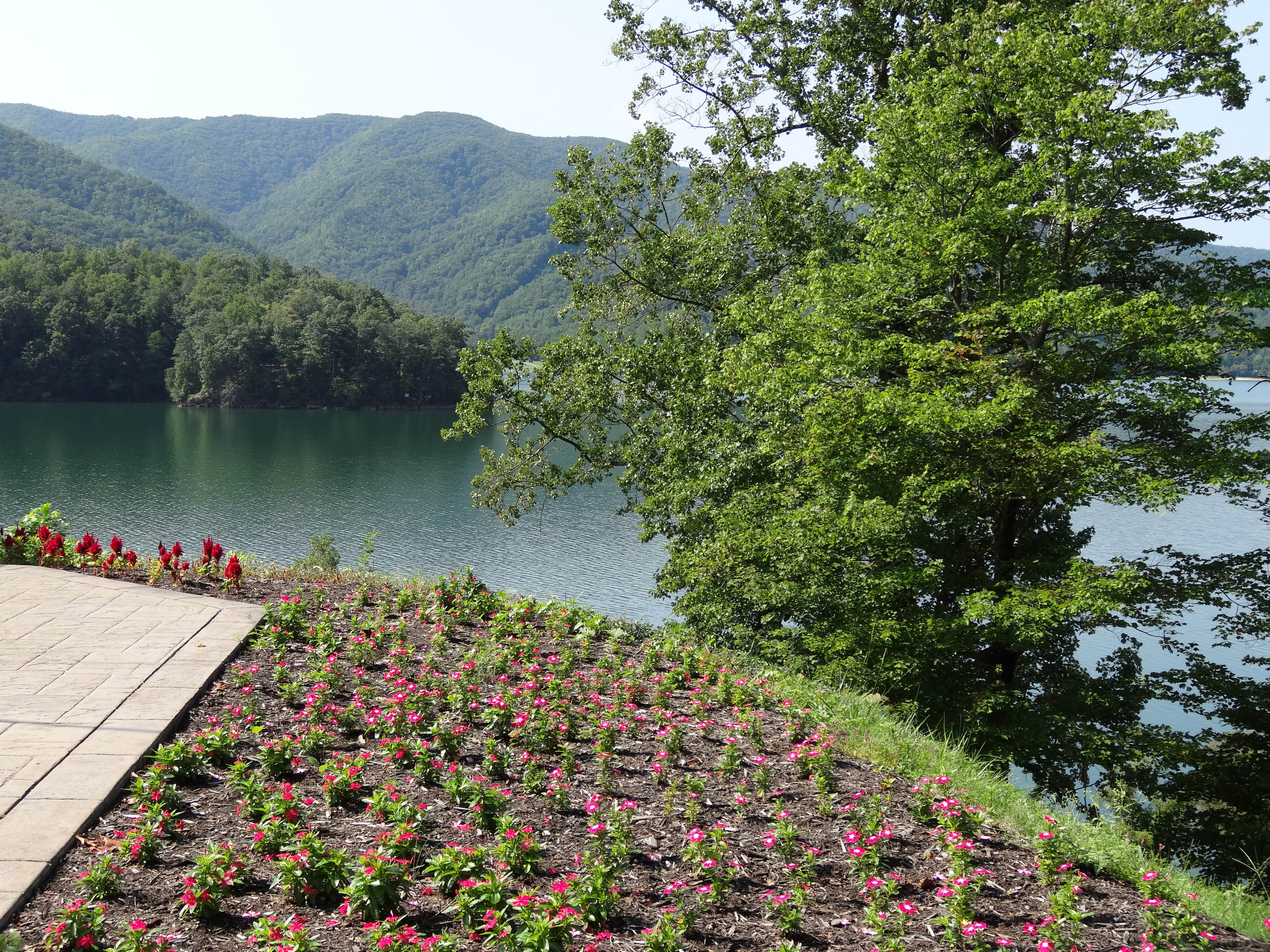
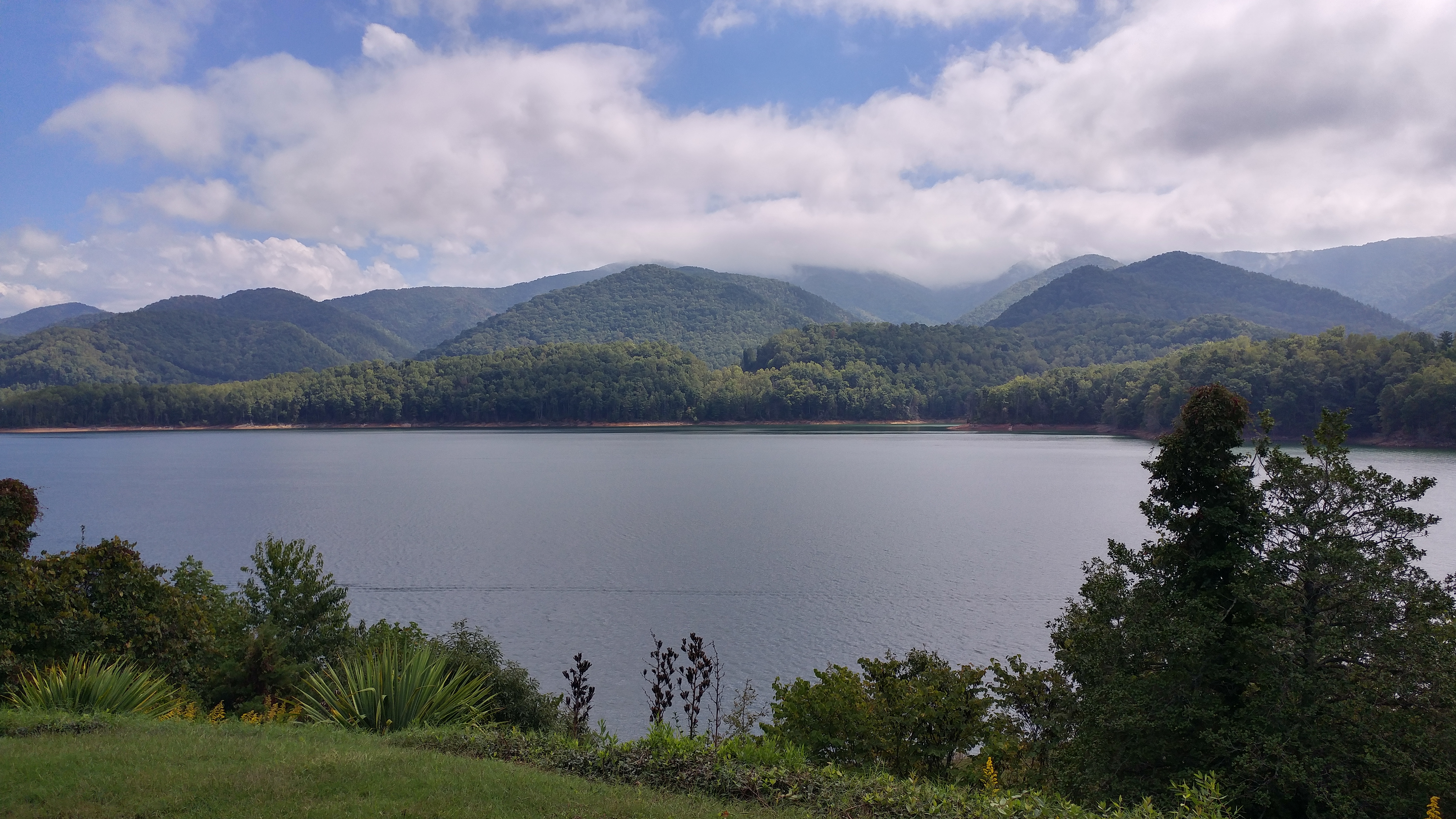
Watauga Lake, Carter County, TN
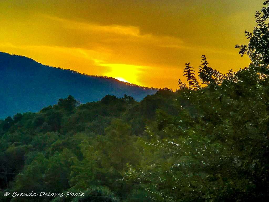
Buffalo Mountain Sunset_-1643-Edit

Watauga Lake, Carter County, TN5

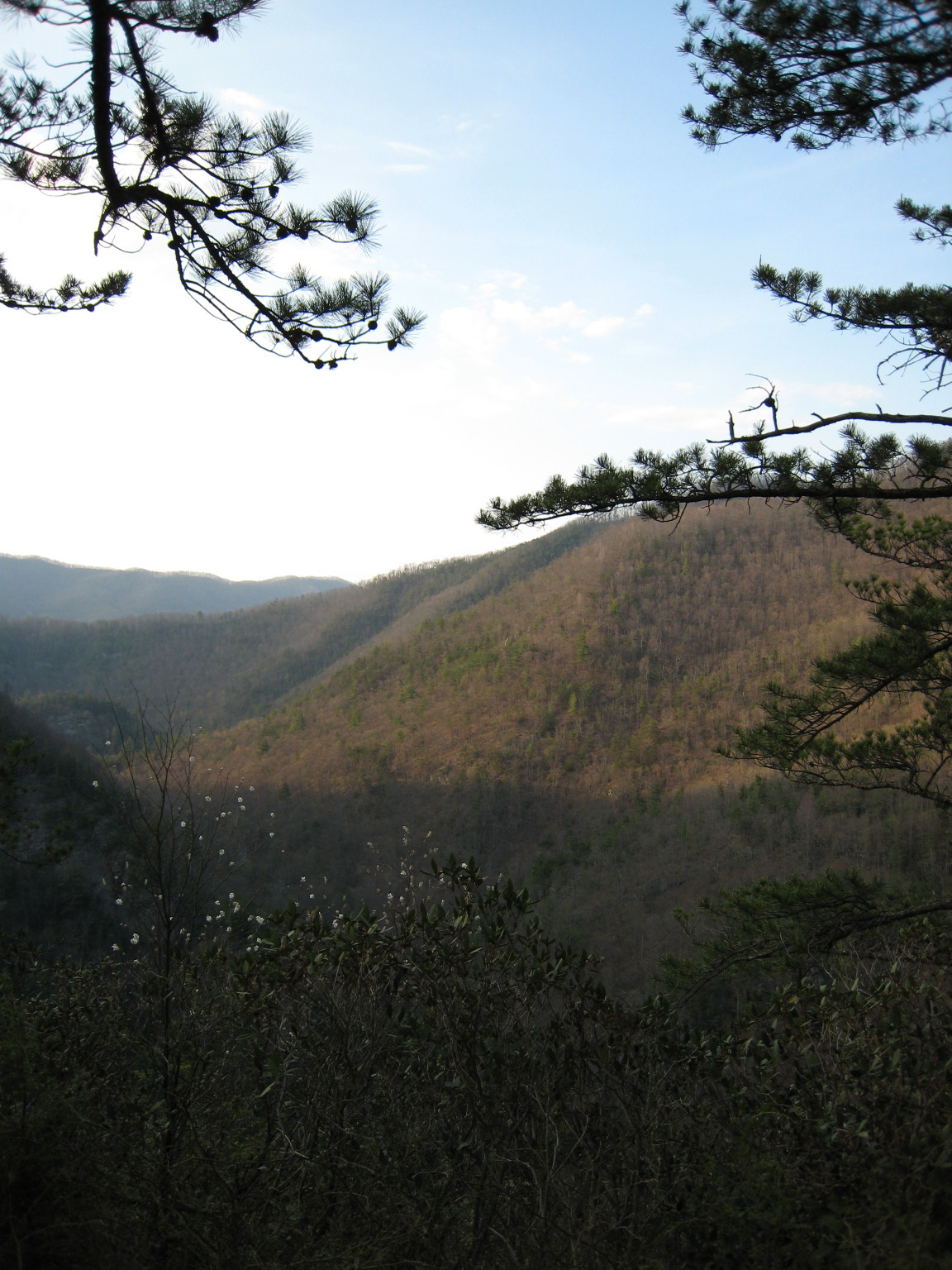
Pinnacle Mountain Fire Tower HDR Panorama
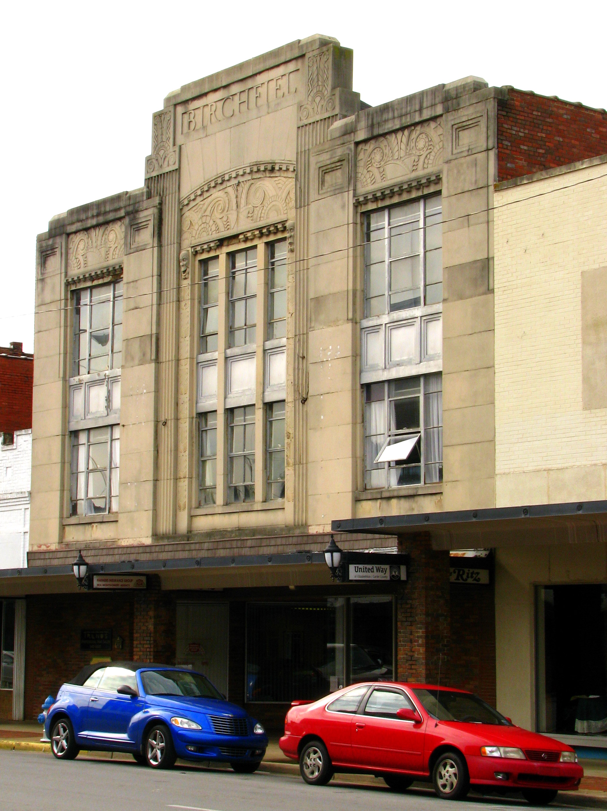
Birchfiel Building (Ritz Theater)

You deserve a donut... with a view.

Watauga Lake Visitors Center, Carter County, TN
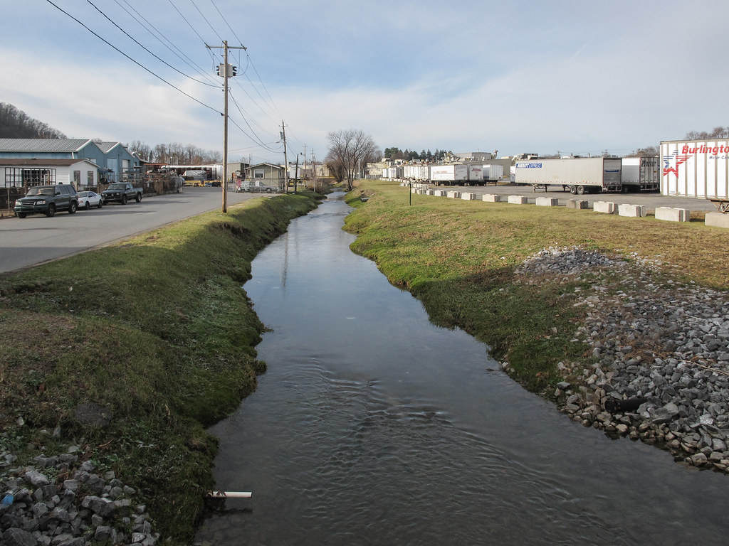
Ah the treelessness of the urban waters of Brush Creek in Johnson City, on full view.

My view - what are you looking at right now?

203 walking down path to parking lot

Buffalo Pano
Pinnacle Mountain Lookout Tower

2013.12.27 125K Views

201 Claire on the trail

195 Trail to top of hill at rest stop in Tennessee

Parents view.
Scenic View #2
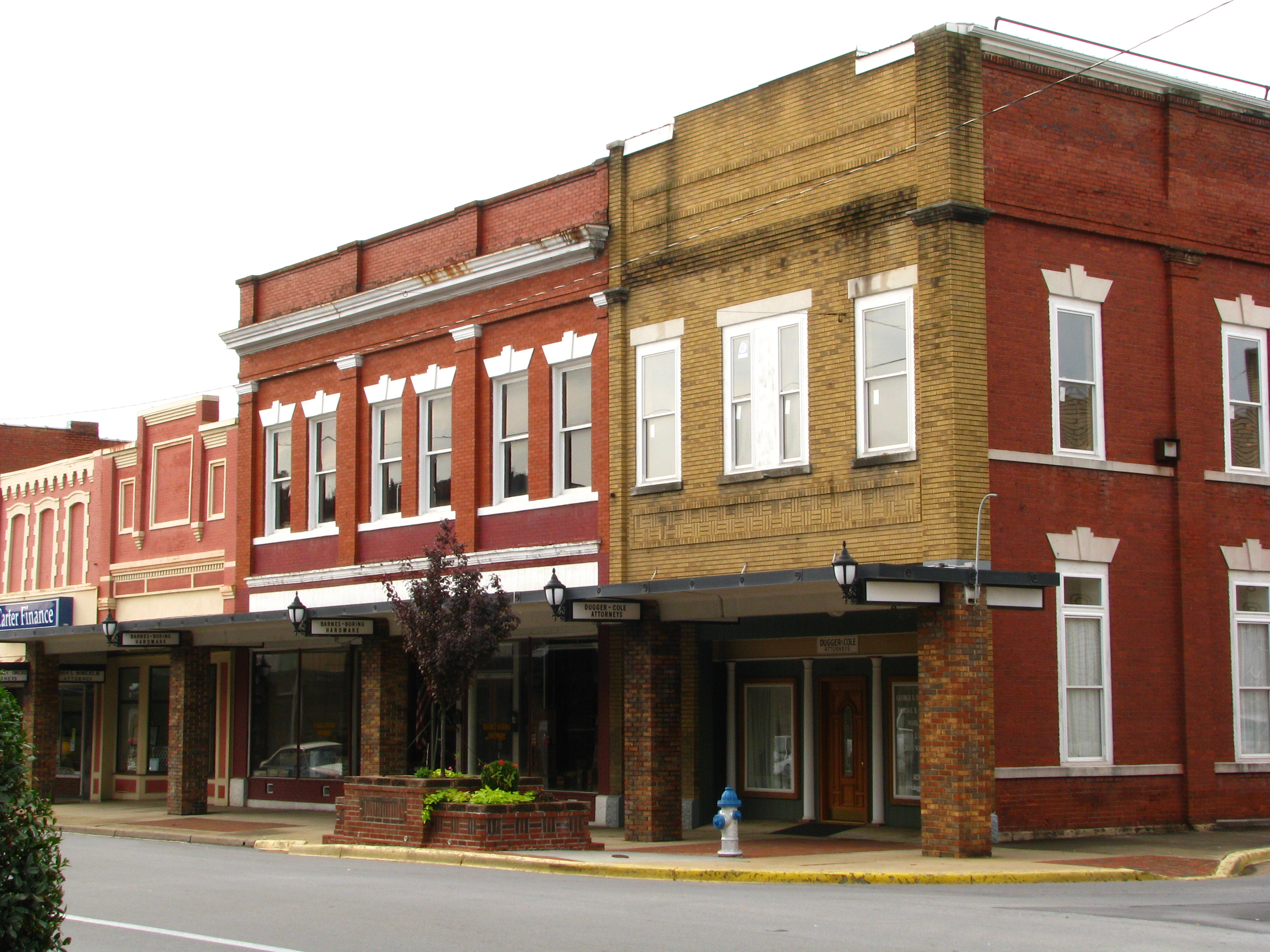
Storefronts of Historic Elizabethton - Barnes Boring Hardware
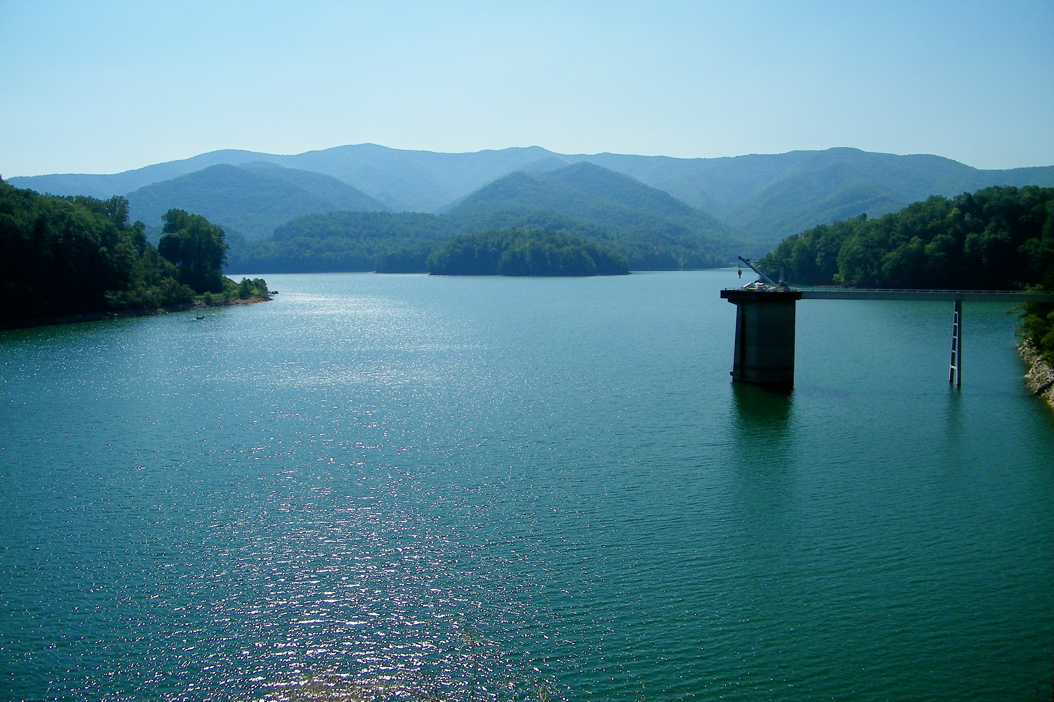
Watauga Lake
Watauga Lake, Carter County, TN3

Watauga Lake

C.R. "Doodle" White Overlook

2009_07_03_9996_WatuagaLake-3
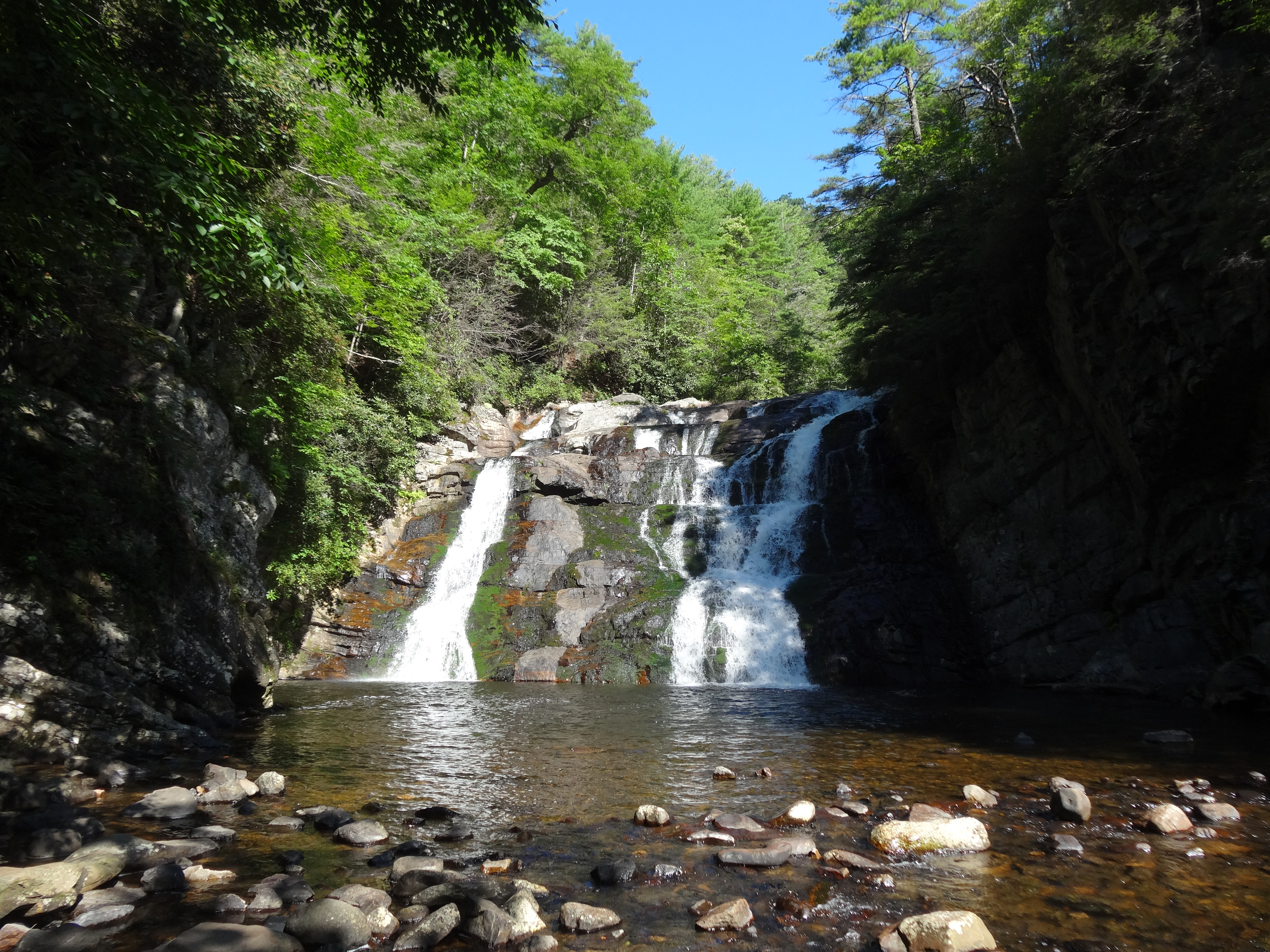
Laurel Fork Falls, Appalachian NST, TN

Pine Oaks Golf Course

Watauga Lake at Night

Doe River Covered Bridge

Racing Water
Canute Place, Appalachian NST, TN2
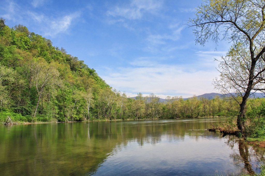
Morning on the Watauga
north of Laurel Fork Falls, Appalachian NST, Hampton, TN2
Morning Glory

Scribbles AT Hike 2011-05-15 @ 07-35-14
Topographic Map of Scaffold Branch Rd, Elizabethton, TN, USA
Find elevation by address:

Places near Scaffold Branch Rd, Elizabethton, TN, USA:
Jefferson Ln, Elizabethton, TN, USA
2602 Gap Creek Rd
2432 Gap Creek Rd
189 Cash Hollow Rd
144 Coal Chute Rd
164 Edgewater Rd
156 Mountain View Cir
140 Edgewater Rd
1415 Dry Creek Rd
142 Edgewater Rd
149 Mill Pond Rd
149 Mill Pond Rd
128 Honeycutt St
344 Sneed Hill Rd
147 Avon Ave
111 Mountain View Cir
1530 Powder Branch Rd
2530 Bob Little Rd
122 Independence Ln
135 Big Springs Rd
Recent Searches:
- Elevation of Corso Fratelli Cairoli, 35, Macerata MC, Italy
- Elevation of Tallevast Rd, Sarasota, FL, USA
- Elevation of 4th St E, Sonoma, CA, USA
- Elevation of Black Hollow Rd, Pennsdale, PA, USA
- Elevation of Oakland Ave, Williamsport, PA, USA
- Elevation of Pedrógão Grande, Portugal
- Elevation of Klee Dr, Martinsburg, WV, USA
- Elevation of Via Roma, Pieranica CR, Italy
- Elevation of Tavkvetili Mountain, Georgia
- Elevation of Hartfords Bluff Cir, Mt Pleasant, SC, USA