Elevation of SC-90, Little River, SC, USA
Location: United States > South Carolina > Horry County > Little River >
Longitude: -78.716592
Latitude: 33.8555892
Elevation: 12m / 39feet
Barometric Pressure: 101KPa
Elevation Map:
Satellite Map:
Related Photos:

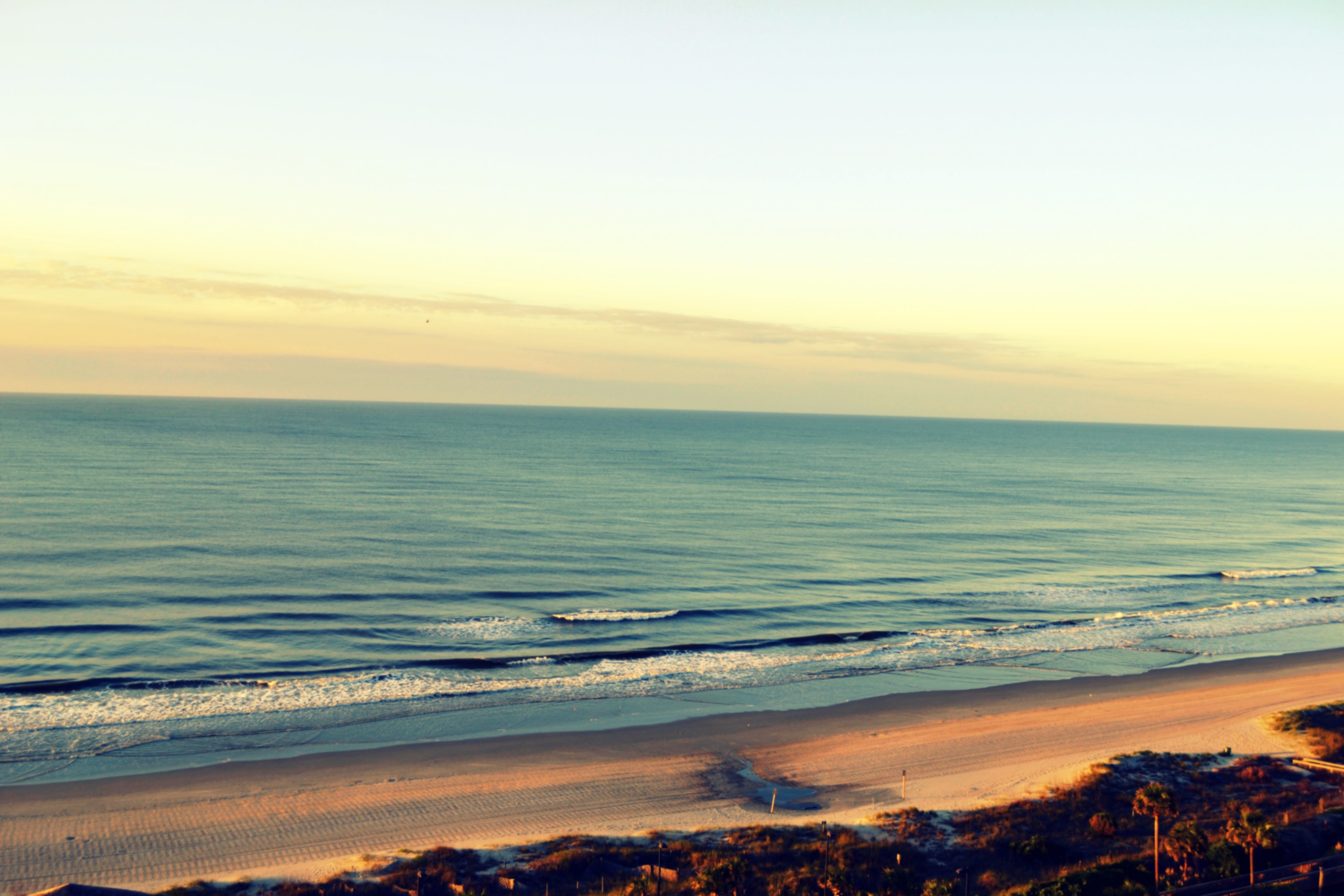
A wave crashes along the NC/SC boundary

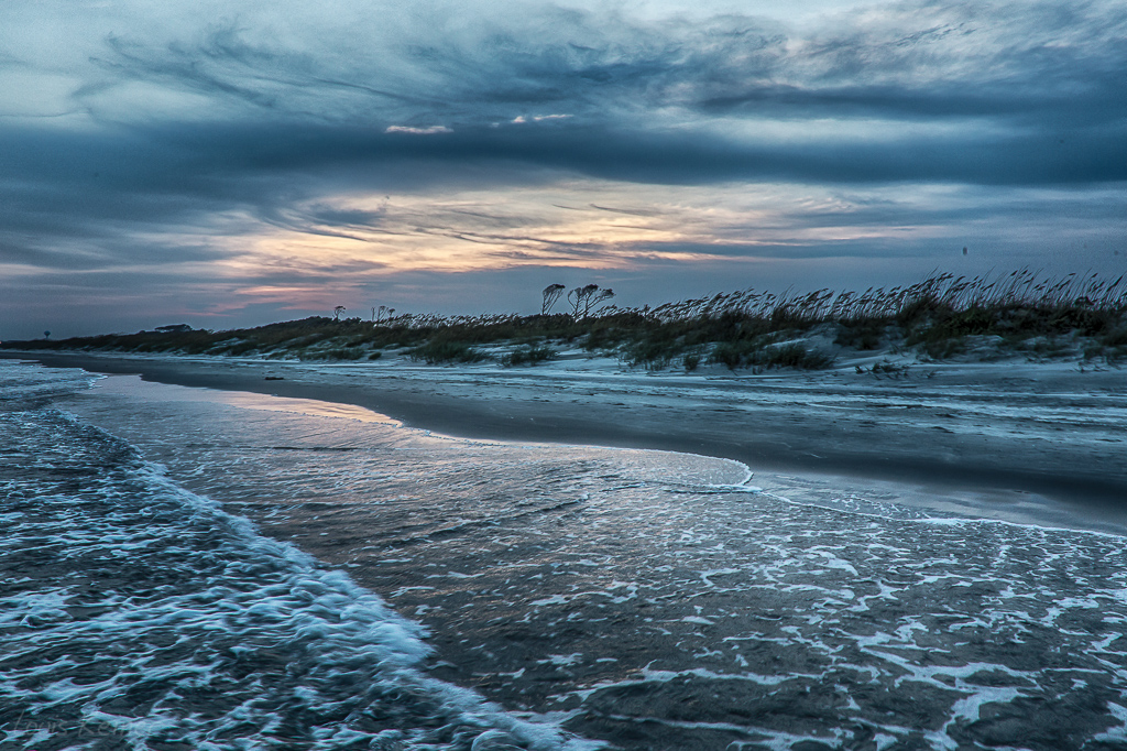
Day 901 - Sunset Over The Marsh

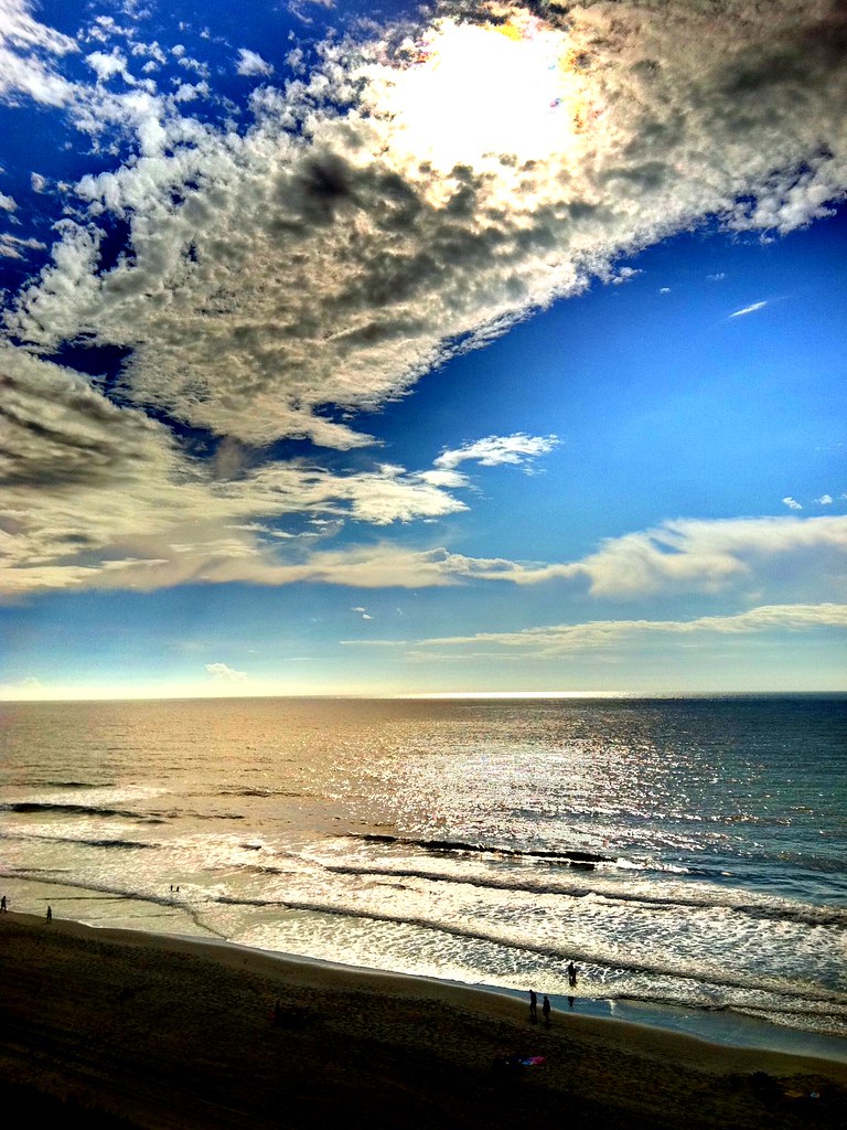
Morning at the Pier
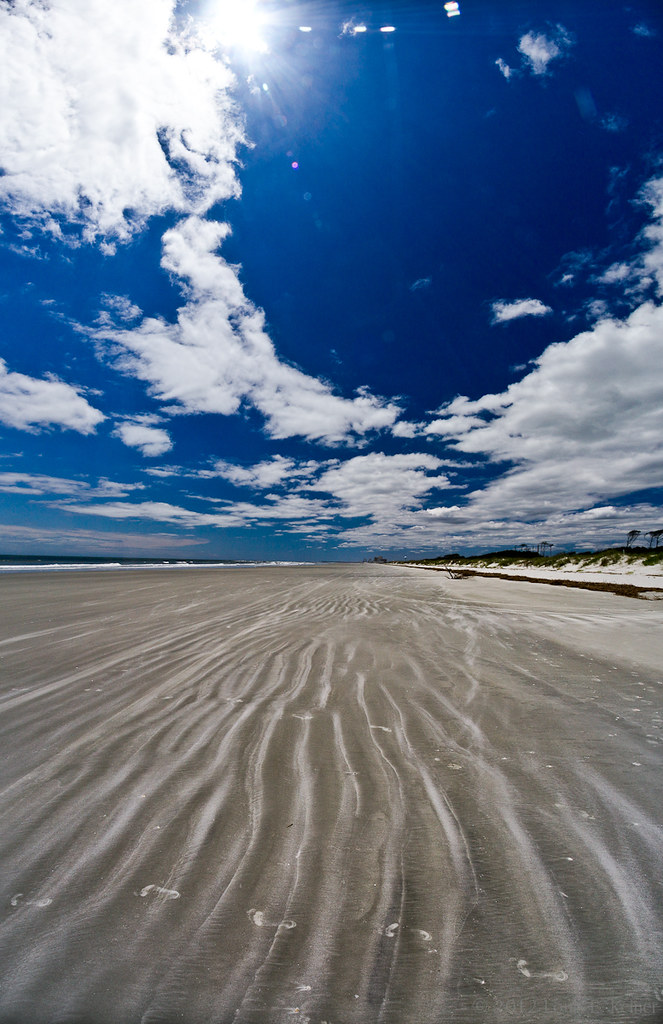
LK_20120520_0028-sm
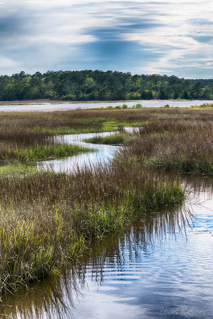
LK_20170408_0170_HDR-sm

Great way to start the day #sunrise

Cold day on the #beach is better than a day at work.

Beach gallery-1

Under the Pier
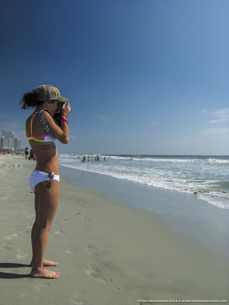
#baywatch #myrtlebeach #vacation

Cherry Grove Pier
LK_20140727_0101_HDR-sm

2011-10-30-Myrtle-299

Coquina Harbor
Shooting Waves (Flickr Explore October 14, 2014)
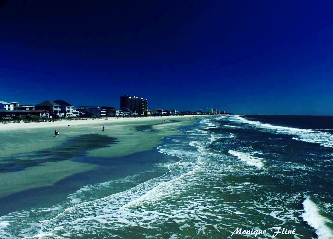
Looking North @NMB
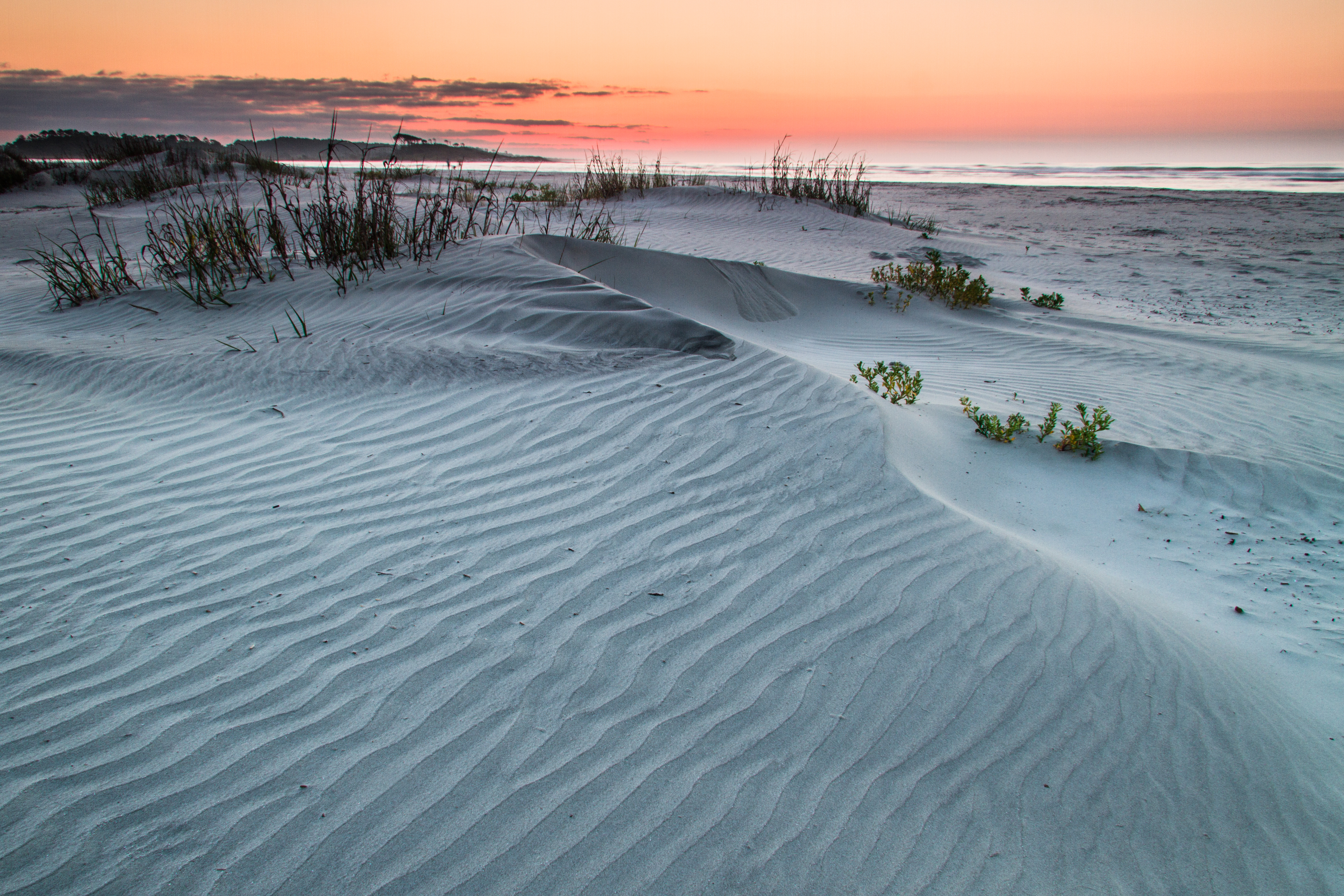
ripples-1
The shore

Ha ha drainage system.
North Myrtle
SOUTHERN COMFORT
Topographic Map of SC-90, Little River, SC, USA
Find elevation by address:

Places near SC-90, Little River, SC, USA:
1283 State Hwy 57 S
Champions Boulevard
Champions Boulevard
150 Citizens Cir
2109 Bell Rd
9563 Sc-90
950 State Hwy 57 S
Wampee
Wampee
693 Dayflower Dr
693 Dayflower Dr
2104 Sunny Heights Rd
713 Dayflower Dr
717 Dayflower Dr
2008 Duckweed Dr
Duckweed Drive
1059 Snowberry Dr
924 Leather Leaf Ln
969 Snowberry Dr
878 Snowberry Dr
Recent Searches:
- Elevation of Corso Fratelli Cairoli, 35, Macerata MC, Italy
- Elevation of Tallevast Rd, Sarasota, FL, USA
- Elevation of 4th St E, Sonoma, CA, USA
- Elevation of Black Hollow Rd, Pennsdale, PA, USA
- Elevation of Oakland Ave, Williamsport, PA, USA
- Elevation of Pedrógão Grande, Portugal
- Elevation of Klee Dr, Martinsburg, WV, USA
- Elevation of Via Roma, Pieranica CR, Italy
- Elevation of Tavkvetili Mountain, Georgia
- Elevation of Hartfords Bluff Cir, Mt Pleasant, SC, USA