Elevation of Sawpit Road, Sawpit Rd, Kentucky, USA
Location: United States > Kentucky > Greenup County >
Longitude: -83.025905
Latitude: 38.4976202
Elevation: 277m / 909feet
Barometric Pressure: 98KPa
Elevation Map:
Satellite Map:
Related Photos:

IMG_4212.JPG

IMG_3248.JPG

IMG_2969.JPG

IMG_5191.JPG

IMG_7609.JPG
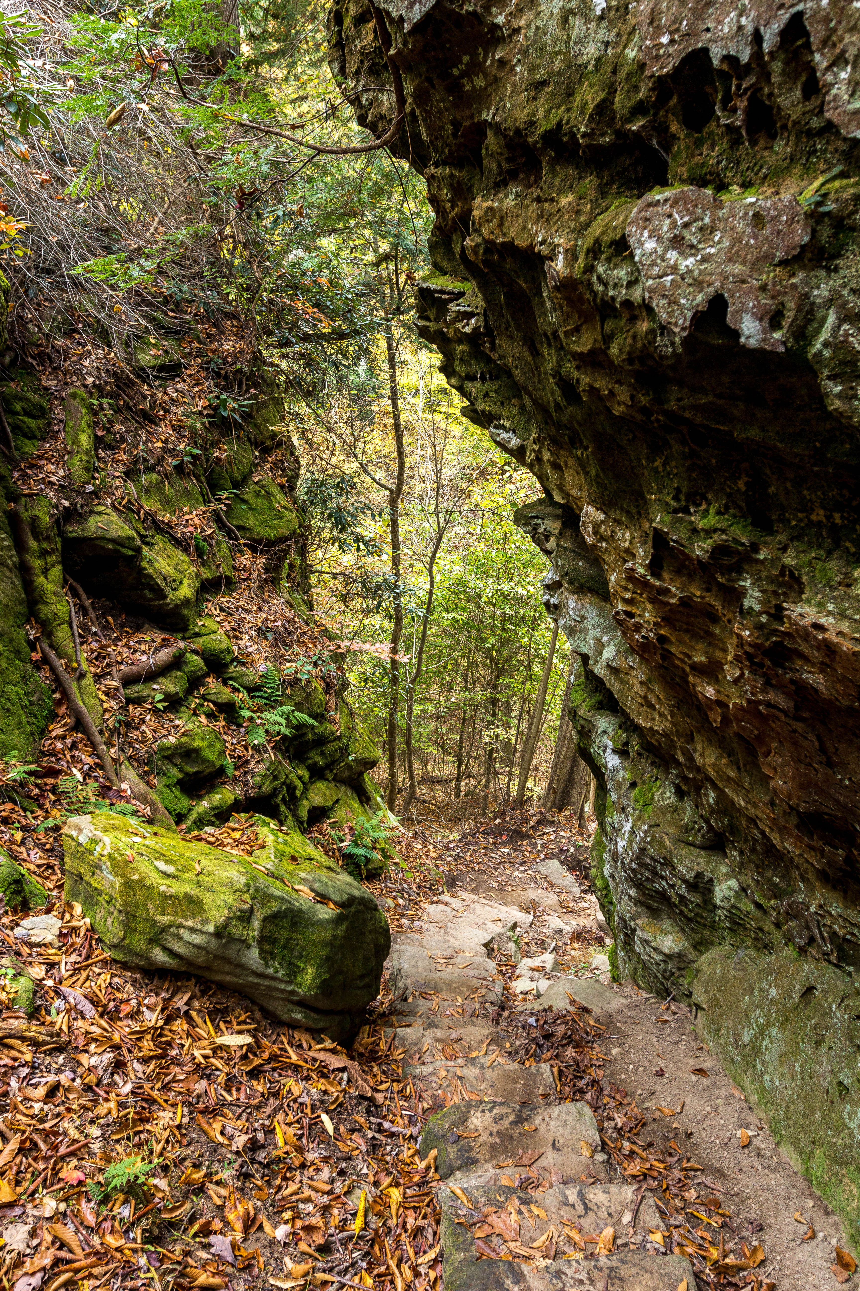
Trail Descends
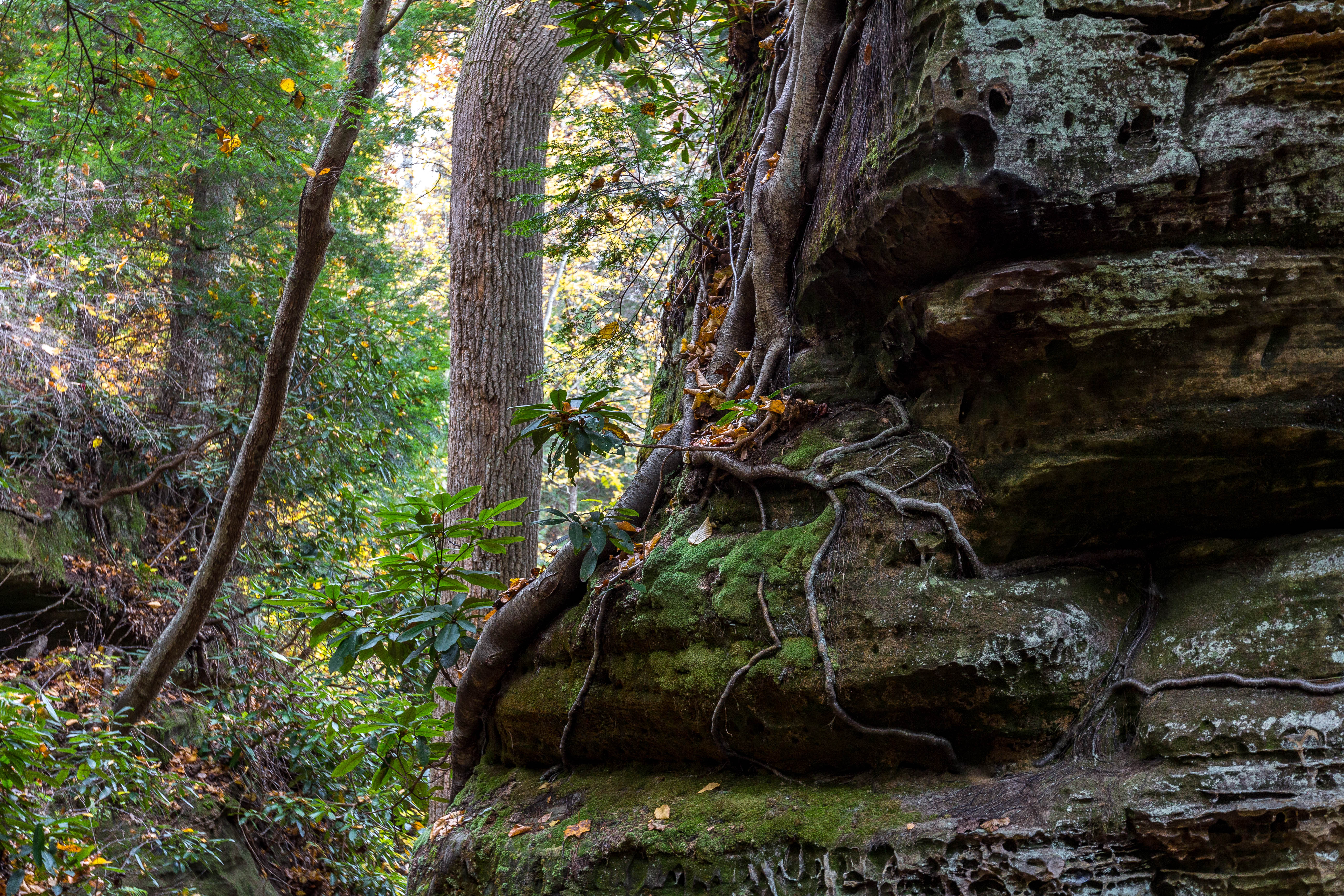
Roots, Rocks, and Moss
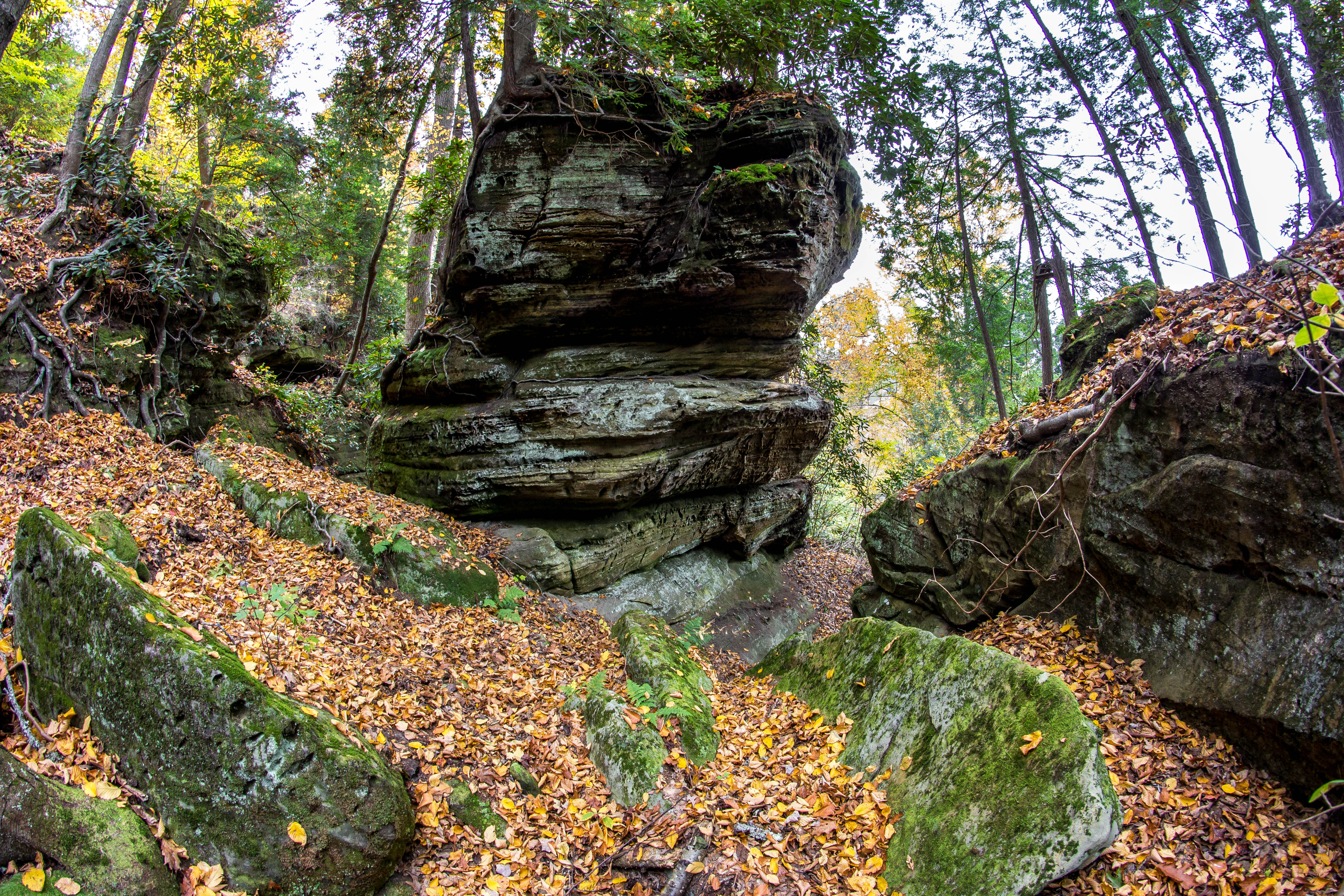
Rock Formations
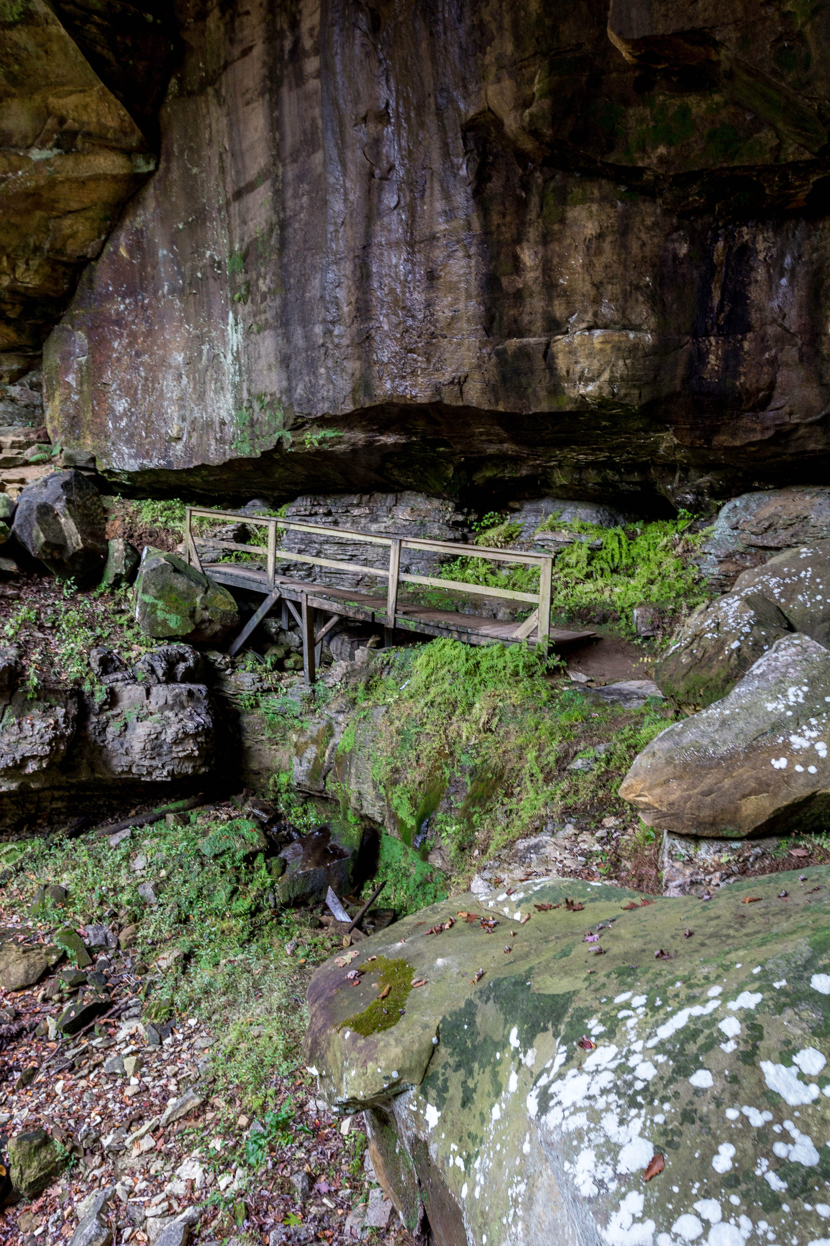
Fern Bridge

Greenbo Lake Sunrise
Argillite Kentucky
Topographic Map of Sawpit Road, Sawpit Rd, Kentucky, USA
Find elevation by address:

Places near Sawpit Road, Sawpit Rd, Kentucky, USA:
Little Lost Creek Road
KY-2, Grayson, KY, USA
173 Silver Creek
Carter Caves State Resort Park
Quincy
44 Smith Branch Rd, Grayson, KY, USA
Carter County
68 Martin Ave, Garrison, KY, USA
Garrison
KY-8, Quincy, KY, USA
US-52, Stout, OH, USA
Mcglone Creek Road
1163 Erwin Ridge Rd
1163 Erwin Ridge Rd
1163 Erwin Ridge Rd
1163 Erwin Ridge Rd
810 Murphys Ln
KY-8, South Portsmouth, KY, USA
US-60, Olive Hill, KY, USA
Aden Rd, Olive Hill, KY, USA
Recent Searches:
- Elevation of Corso Fratelli Cairoli, 35, Macerata MC, Italy
- Elevation of Tallevast Rd, Sarasota, FL, USA
- Elevation of 4th St E, Sonoma, CA, USA
- Elevation of Black Hollow Rd, Pennsdale, PA, USA
- Elevation of Oakland Ave, Williamsport, PA, USA
- Elevation of Pedrógão Grande, Portugal
- Elevation of Klee Dr, Martinsburg, WV, USA
- Elevation of Via Roma, Pieranica CR, Italy
- Elevation of Tavkvetili Mountain, Georgia
- Elevation of Hartfords Bluff Cir, Mt Pleasant, SC, USA