Elevation of Savelugu, Ghana
Location: Ghana > Northern Region >
Longitude: -0.8246386
Latitude: 9.6164557
Elevation: 169m / 554feet
Barometric Pressure: 99KPa
Elevation Map:
Satellite Map:
Related Photos:


CAN YOU SEE ME? Gloria, 17
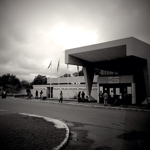
Tamale, Ghana

tamale-ghana_36673976832_o
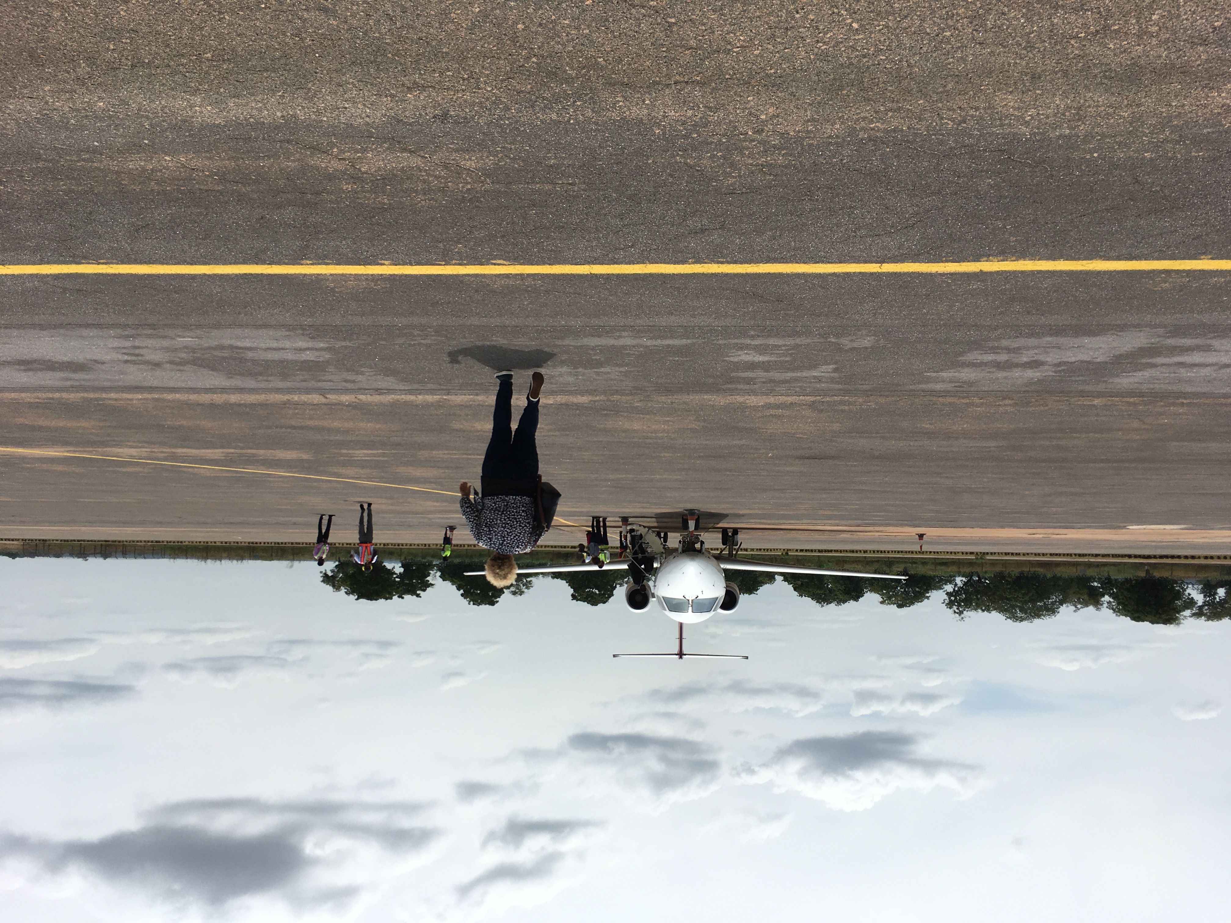
Tamale Airport #Ghana
Topographic Map of Savelugu, Ghana
Find elevation by address:

Places near Savelugu, Ghana:
Northern Region
Zagyuri Community, Tamale
Tolon
Tamale
Nyankpala
Tamale Municipal
Tolon
Central Gonja
Yendi
Yendi
Nanumba North
East Gonja
Recent Searches:
- Elevation of Corso Fratelli Cairoli, 35, Macerata MC, Italy
- Elevation of Tallevast Rd, Sarasota, FL, USA
- Elevation of 4th St E, Sonoma, CA, USA
- Elevation of Black Hollow Rd, Pennsdale, PA, USA
- Elevation of Oakland Ave, Williamsport, PA, USA
- Elevation of Pedrógão Grande, Portugal
- Elevation of Klee Dr, Martinsburg, WV, USA
- Elevation of Via Roma, Pieranica CR, Italy
- Elevation of Tavkvetili Mountain, Georgia
- Elevation of Hartfords Bluff Cir, Mt Pleasant, SC, USA