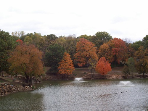
Elevation of Savannah, MO, USA
Location: United States > Missouri > Andrew County > Nodaway Township >
Longitude: -94.830245
Latitude: 39.9416606
Elevation: 338m / 1109feet
Barometric Pressure: 97KPa
Related Photos:
Topographic Map of Savannah, MO, USA
Find elevation by address:

Places in Savannah, MO, USA:
Places near Savannah, MO, USA:
Nodaway Township
Andrew County
State Hwy C, Savannah, MO, USA
13199 Co Rd 187
Benton Township
Fairfield Inn & Suites By Marriott St. Joseph
Platte River
4200 Waterworks Rd
2713 Lovers Ln
3119 Fieldcrest Ave
3621 Gene Field Rd
2218 Marion St
3502 Auburn Dr
1711 Lovers Lane Heights
Anderson Ford, Lincoln Of St. Joseph
30 Caribou Cir
Frederick Avenue
Huston Wyeth Park
Bolckow
602 Main St
Recent Searches:
- Elevation of Corso Fratelli Cairoli, 35, Macerata MC, Italy
- Elevation of Tallevast Rd, Sarasota, FL, USA
- Elevation of 4th St E, Sonoma, CA, USA
- Elevation of Black Hollow Rd, Pennsdale, PA, USA
- Elevation of Oakland Ave, Williamsport, PA, USA
- Elevation of Pedrógão Grande, Portugal
- Elevation of Klee Dr, Martinsburg, WV, USA
- Elevation of Via Roma, Pieranica CR, Italy
- Elevation of Tavkvetili Mountain, Georgia
- Elevation of Hartfords Bluff Cir, Mt Pleasant, SC, USA

