Elevation map of Saser Kangri
Longitude: 77.7511111
Latitude: 34.8672222
Elevation: 7083m / 23238feet
Barometric Pressure: 41KPa
Elevation Map:
Satellite Map:
Related Photos:
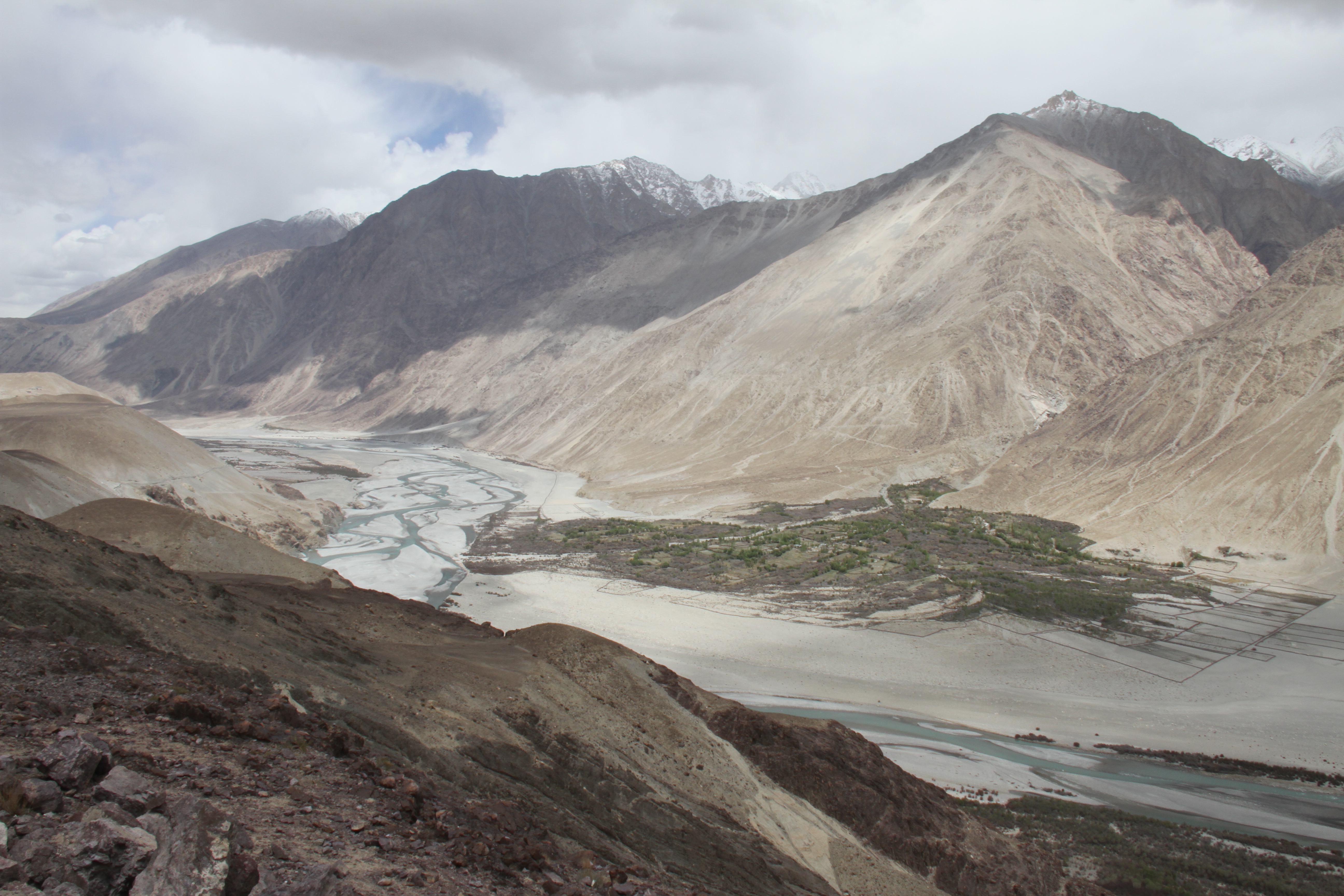
Nubra Valley, Ladakh
Topographic Map of Saser Kangri
Find elevation by address:

Places near Saser Kangri:
Saser Kangri Iii
Saser Kangri Ii
Panamik
Nubra Valley
Sasoma
Mamostong Kangri
Diskit
Diskit Gompa
Hunder
World's Highest Motorable Road
Khardungla Pass
Khardung La
Ladakh
Shanti Stupa Road
Leh Palace
Ladakh Vacation
Travel Ladakh India
Leh Ladakh (northern Range Trek N Tour)
Phyang
Leh
Recent Searches:
- Elevation of Corso Fratelli Cairoli, 35, Macerata MC, Italy
- Elevation of Tallevast Rd, Sarasota, FL, USA
- Elevation of 4th St E, Sonoma, CA, USA
- Elevation of Black Hollow Rd, Pennsdale, PA, USA
- Elevation of Oakland Ave, Williamsport, PA, USA
- Elevation of Pedrógão Grande, Portugal
- Elevation of Klee Dr, Martinsburg, WV, USA
- Elevation of Via Roma, Pieranica CR, Italy
- Elevation of Tavkvetili Mountain, Georgia
- Elevation of Hartfords Bluff Cir, Mt Pleasant, SC, USA