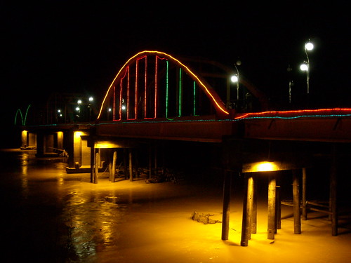
Elevation map of Sarolangun Regency, Jambi, Indonesia
Location: Indonesia > Jambi >
Longitude: 102.713512
Latitude: -2.3230422
Elevation: 48m / 157feet
Barometric Pressure: 101KPa
Related Photos:
Topographic Map of Sarolangun Regency, Jambi, Indonesia
Find elevation by address:

Places in Sarolangun Regency, Jambi, Indonesia:
Places near Sarolangun Regency, Jambi, Indonesia:
Sarolangun Sub-district
Bank Btpn Kcp Bangko
Batang Hari Regency
Kubu Kandang
Pemayung
Musi Banyuasin Regency
Pulau Raman
Jambi City
Jambi
Gelam River
Kumpeh Ulu
Ramin
Muaro Jambi Regency
Recent Searches:
- Elevation of Corso Fratelli Cairoli, 35, Macerata MC, Italy
- Elevation of Tallevast Rd, Sarasota, FL, USA
- Elevation of 4th St E, Sonoma, CA, USA
- Elevation of Black Hollow Rd, Pennsdale, PA, USA
- Elevation of Oakland Ave, Williamsport, PA, USA
- Elevation of Pedrógão Grande, Portugal
- Elevation of Klee Dr, Martinsburg, WV, USA
- Elevation of Via Roma, Pieranica CR, Italy
- Elevation of Tavkvetili Mountain, Georgia
- Elevation of Hartfords Bluff Cir, Mt Pleasant, SC, USA
