Elevation of Sanyoonoda, Yamaguchi Prefecture, Japan
Location: Japan > Yamaguchi Prefecture >
Longitude: 131.181966
Latitude: 34.0030636
Elevation: 3m / 10feet
Barometric Pressure: 101KPa
Elevation Map:
Satellite Map:
Related Photos:

look at green
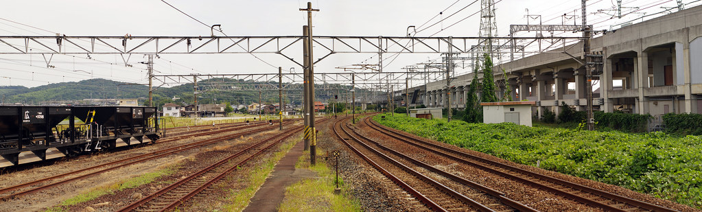
厚狭駅
厚狭駅

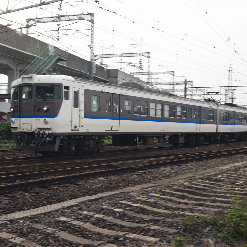
17−15
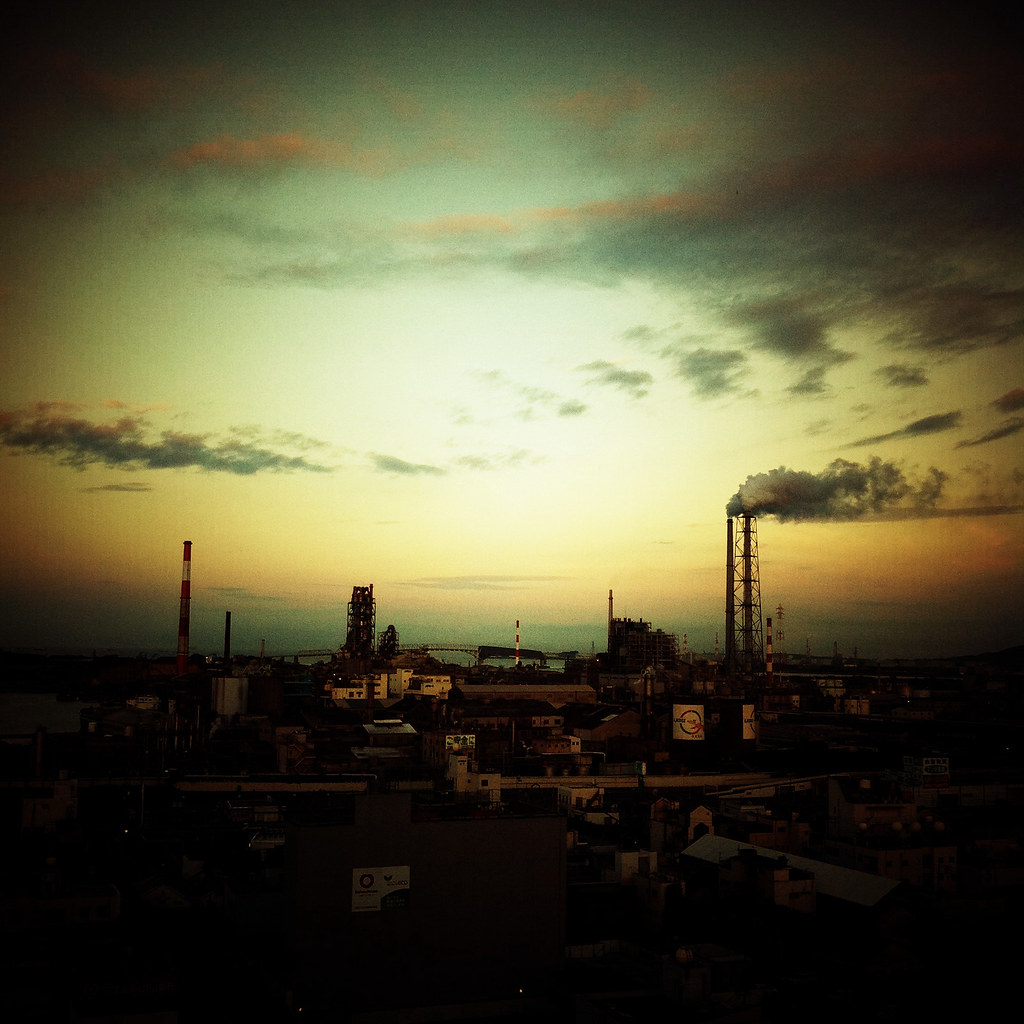
At the end of the day
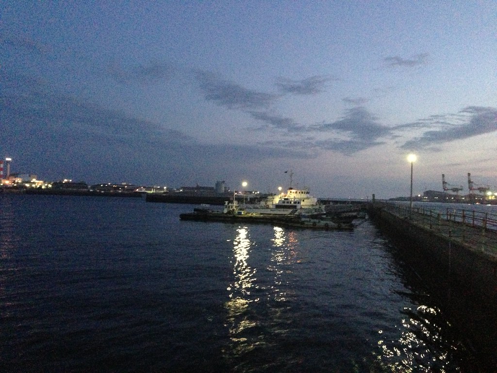
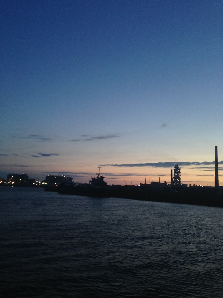
2013-06-16 at 19.54.20
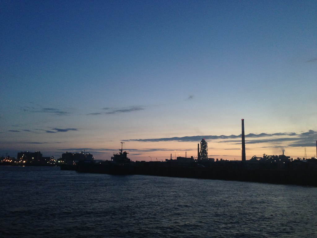
2013-06-16 at 19.48.44
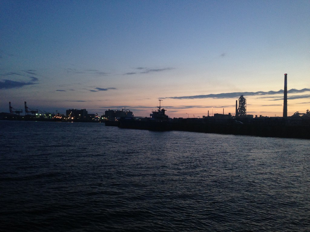
2013-06-16 at 19.48.51
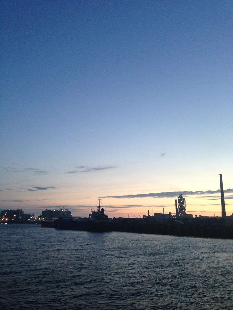
2013-06-16 at 19.48.10

2013-06-16 at 19.48.19
2013-06-16 at 19.48.26
Topographic Map of Sanyoonoda, Yamaguchi Prefecture, Japan
Find elevation by address:

Places in Sanyoonoda, Yamaguchi Prefecture, Japan:
Places near Sanyoonoda, Yamaguchi Prefecture, Japan:
Kōri, Sanyōonoda-shi, Yamaguchi-ken -, Japan
1 Chome-1-6 Nishikotoshiba
メゾンプレジール
Ube
5 Chome-13-13 Tokonami, Ube-shi, Yamaguchi-ken -, Japan
Mine
Ōminechō Higashibun, Mine-shi, Yamaguchi-ken -, Japan
-7 Ajisu, Yamaguchi-shi, Yamaguchi-ken -, Japan
Shiranoe, Moji-ku, Kitakyūshū-shi, Fukuoka-ken -, Japan
Ajisu, Yamaguchi-shi, Yamaguchi-ken -, Japan
Ikawa, Moji-ku, Kitakyūshū-shi, Fukuoka-ken -, Japan
Moji Ward
Kikugawachō Ōaza Kiba, Shimonoseki-shi, Yamaguchi-ken -, Japan
Ogōrishimogō, Yamaguchi-shi, Yamaguchi-ken -, Japan
Shimonoseki
Aiohigashi, Yamaguchi-shi, Yamaguchi-ken -, Japan
Hananocho
37-24 Hatabuhonmachi
梅光短大教員寮B
Shimonoseki Port
Recent Searches:
- Elevation of Corso Fratelli Cairoli, 35, Macerata MC, Italy
- Elevation of Tallevast Rd, Sarasota, FL, USA
- Elevation of 4th St E, Sonoma, CA, USA
- Elevation of Black Hollow Rd, Pennsdale, PA, USA
- Elevation of Oakland Ave, Williamsport, PA, USA
- Elevation of Pedrógão Grande, Portugal
- Elevation of Klee Dr, Martinsburg, WV, USA
- Elevation of Via Roma, Pieranica CR, Italy
- Elevation of Tavkvetili Mountain, Georgia
- Elevation of Hartfords Bluff Cir, Mt Pleasant, SC, USA