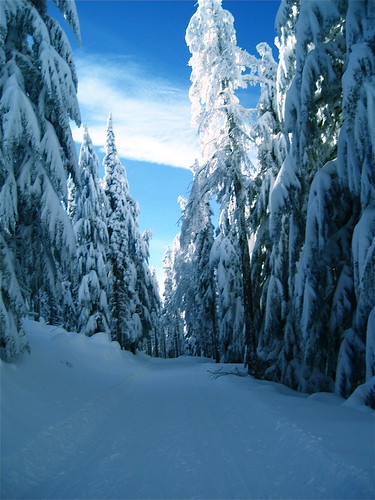
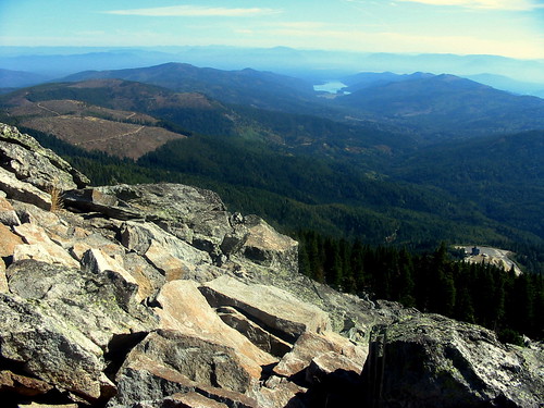
Elevation of Santiago Rd, Blanchard, ID, USA
Location: United States > Idaho > Bonner County > Blanchard >
Longitude: -116.95321
Latitude: 48.0107183
Elevation: 691m / 2267feet
Barometric Pressure: 93KPa
Related Photos:
Topographic Map of Santiago Rd, Blanchard, ID, USA
Find elevation by address:

Places near Santiago Rd, Blanchard, ID, USA:
203 Santiago Rd
203 Santiago Rd
150 Rogstad Powerline Rd
Blanchard
ID-41, Blanchard, ID, USA
3254 Spirit Lake Cutoff Rd
2955 Cabin Ridge Rd
2270 Hoodoo Mountain Rd
2270 Hoodoo Mountain Rd
2270 Hoodoo Mountain Rd
608 Mcdonald Creek Rd
2710 Hoodoo Mountain Rd
2710 Hoodoo Mountain Rd
Hoo Doo Loop
61 Chipakota Ln
61 Chipakota Ln
912 Dry Creek Rd
147 Shepard Rd
7321 Kelso Lake Rd
187 Dry Creek Rd
Recent Searches:
- Elevation of Corso Fratelli Cairoli, 35, Macerata MC, Italy
- Elevation of Tallevast Rd, Sarasota, FL, USA
- Elevation of 4th St E, Sonoma, CA, USA
- Elevation of Black Hollow Rd, Pennsdale, PA, USA
- Elevation of Oakland Ave, Williamsport, PA, USA
- Elevation of Pedrógão Grande, Portugal
- Elevation of Klee Dr, Martinsburg, WV, USA
- Elevation of Via Roma, Pieranica CR, Italy
- Elevation of Tavkvetili Mountain, Georgia
- Elevation of Hartfords Bluff Cir, Mt Pleasant, SC, USA


