Elevation of Santhanpara, Kerala, India
Location: India > Kerala > Idukki >
Longitude: 77.2203966
Latitude: 9.9590342
Elevation: 1135m / 3724feet
Barometric Pressure: 88KPa
Elevation Map:
Satellite Map:
Related Photos:

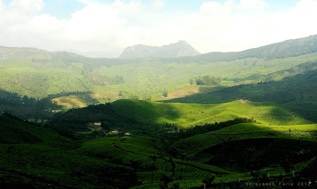
Splendid view of valley

Greener Shades of Nature

Shades Of Green

Tea At Heights

Somewhere In The Green

Taking in The View
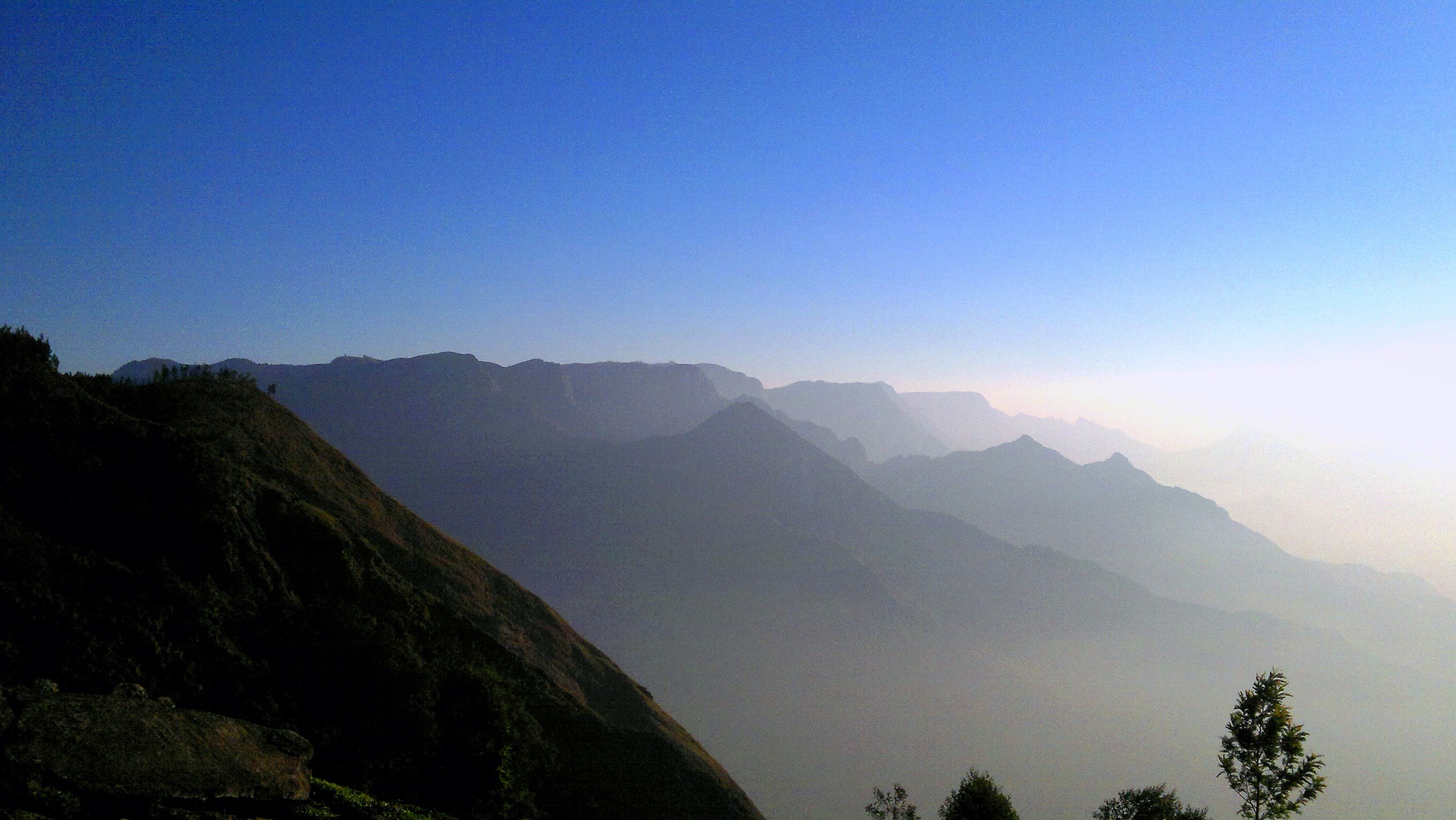
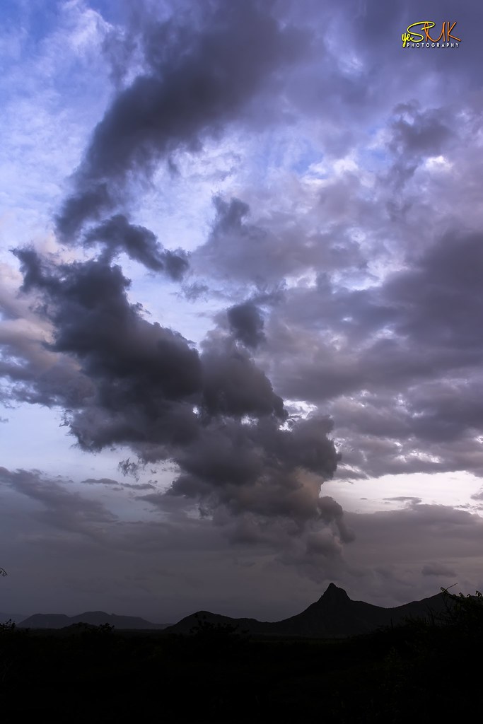
Lightly Lit

Taking in the View

An early morning at the tea estate
the view is of distant kodaikannal range of Tamil Nadu light up by the early morning sunlight. there is actually a road to reach kodaikannal through the teas estate interiors but you need a real hardworking 4x4 or trek for 10hrs. Kolukumali near munnar.

Nostalgic Landscape

a view from Periyakanal Waterfalls

a view of Anayirangal Dam Reservoir
Awesome route 49 #Bodinayakanur pass from the south western Ghats to Tamil Nadu. Photo doesn't do the views from the bus justice. One of my favourite mountain pass roads. #india #ghats #route49 #tamilnadu #kerala #thenidistrict #mountainpass

Passing view

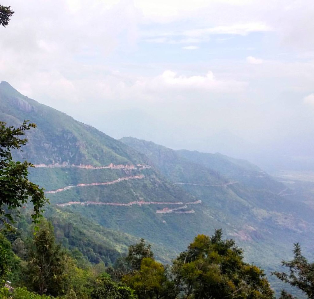
Bodimettu: view down to valley below

View from a toilet

Views from Kurangini-Sooryanelli Trek. These are extention of tea plantataions of Munnar .If plantation industry ‘discovered’ Munnar and sorrunding areas like Sooryanelli in the 19th century, it was re-discovered by the tourism industry in the later hal

Hairpin bends

Hairpin bends

Hairpin bends

2013 leap

Tea plantation
The ultimate beauty
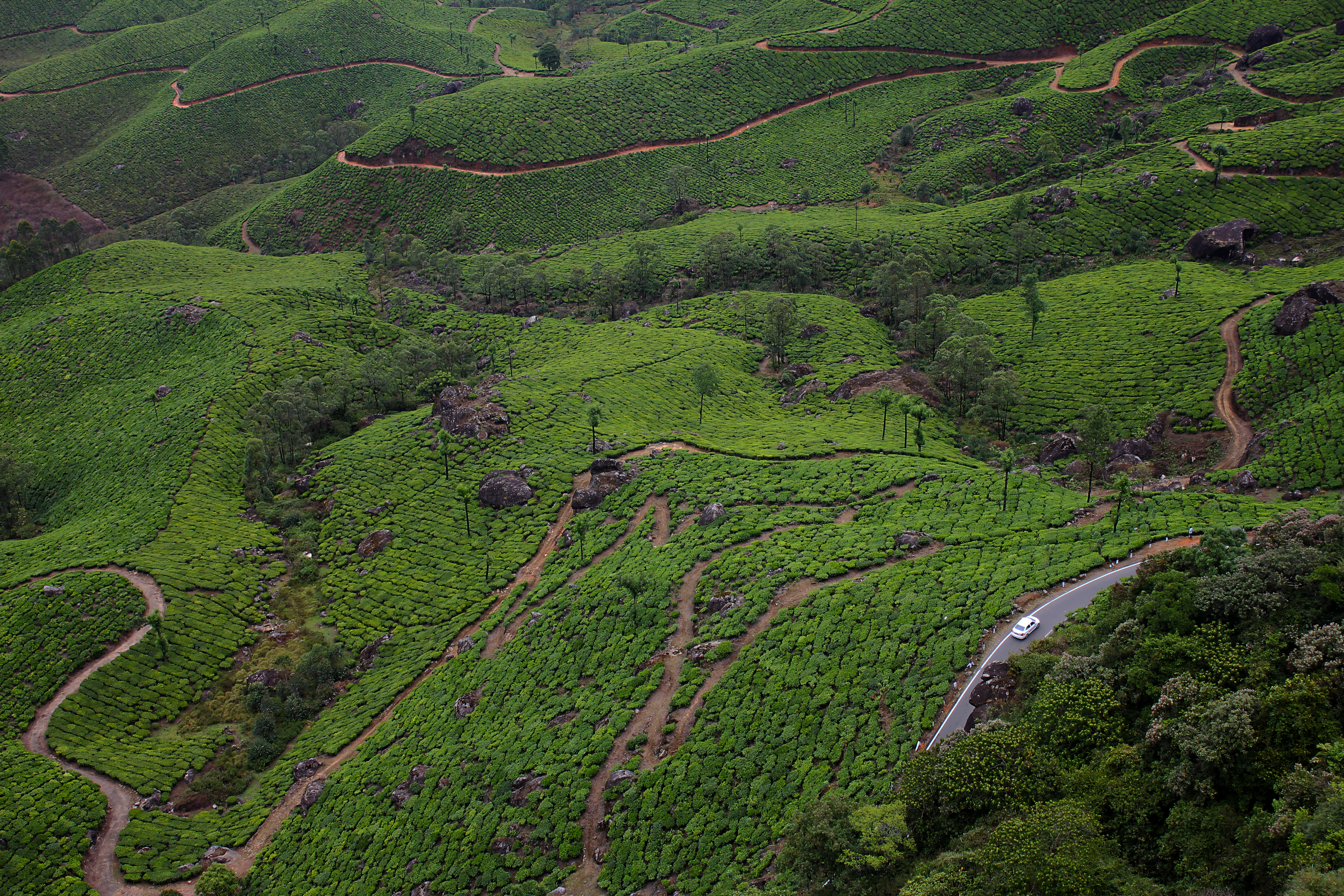
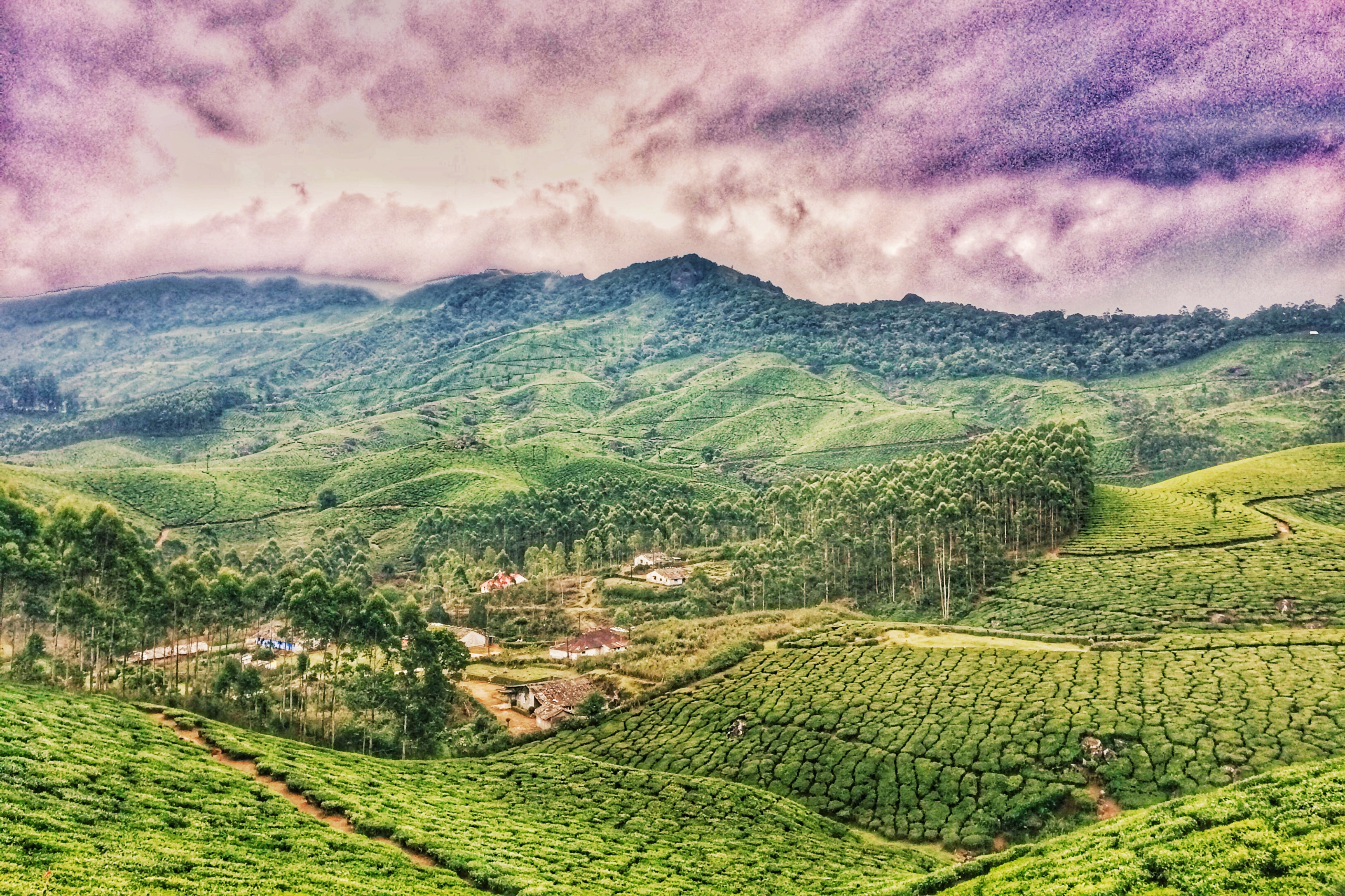
Tea Gardens

.
Theni - Munnar Road

Chokramudi Peak

Kerala_The Western Ghats

Constant Greens

.
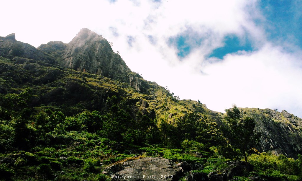
A Still Peak

Tea Trails

.

Shiny Tops
Topographic Map of Santhanpara, Kerala, India
Find elevation by address:

Places near Santhanpara, Kerala, India:
Santhanpara Police Station
Pooppara
Pethotty
Rajakumari
Kallupalam
Udumbanchola
N R City
Nr City
Sterling Rajakkad
Bison Valley
Rajakkad
Idukki
Pottankadu
Kunchithanny
Varayattumudi
Kites Resort
Ecotones Resort And Camps Munnar
Muthuvankudi
The Leaf Munnar
Vathikudy
Recent Searches:
- Elevation of Corso Fratelli Cairoli, 35, Macerata MC, Italy
- Elevation of Tallevast Rd, Sarasota, FL, USA
- Elevation of 4th St E, Sonoma, CA, USA
- Elevation of Black Hollow Rd, Pennsdale, PA, USA
- Elevation of Oakland Ave, Williamsport, PA, USA
- Elevation of Pedrógão Grande, Portugal
- Elevation of Klee Dr, Martinsburg, WV, USA
- Elevation of Via Roma, Pieranica CR, Italy
- Elevation of Tavkvetili Mountain, Georgia
- Elevation of Hartfords Bluff Cir, Mt Pleasant, SC, USA