Elevation of Santa Fe del Río, Mich., Mexico
Location: Mexico > Michoacán >
Longitude: -101.82788
Latitude: 20.2017244
Elevation: 1706m / 5597feet
Barometric Pressure: 82KPa
Elevation Map:
Satellite Map:
Related Photos:

Amapola naranja y mariposa blanca.

Y pensar que es Invierno...
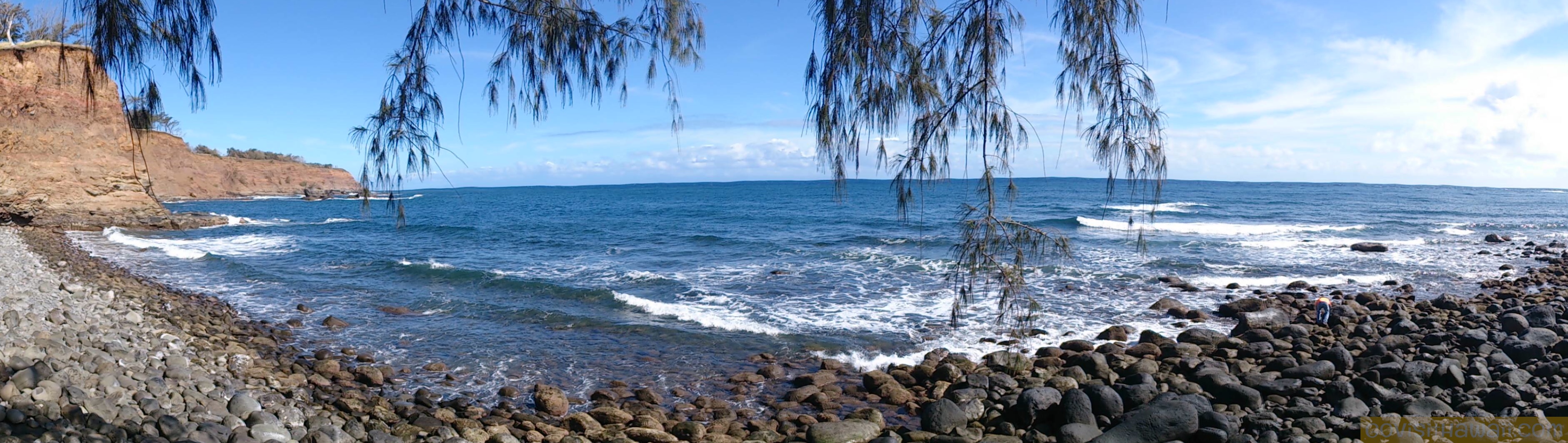
Go Visit Hawaii, Big Island 2013

Me primavero.

Listas para la danza.

Fake air
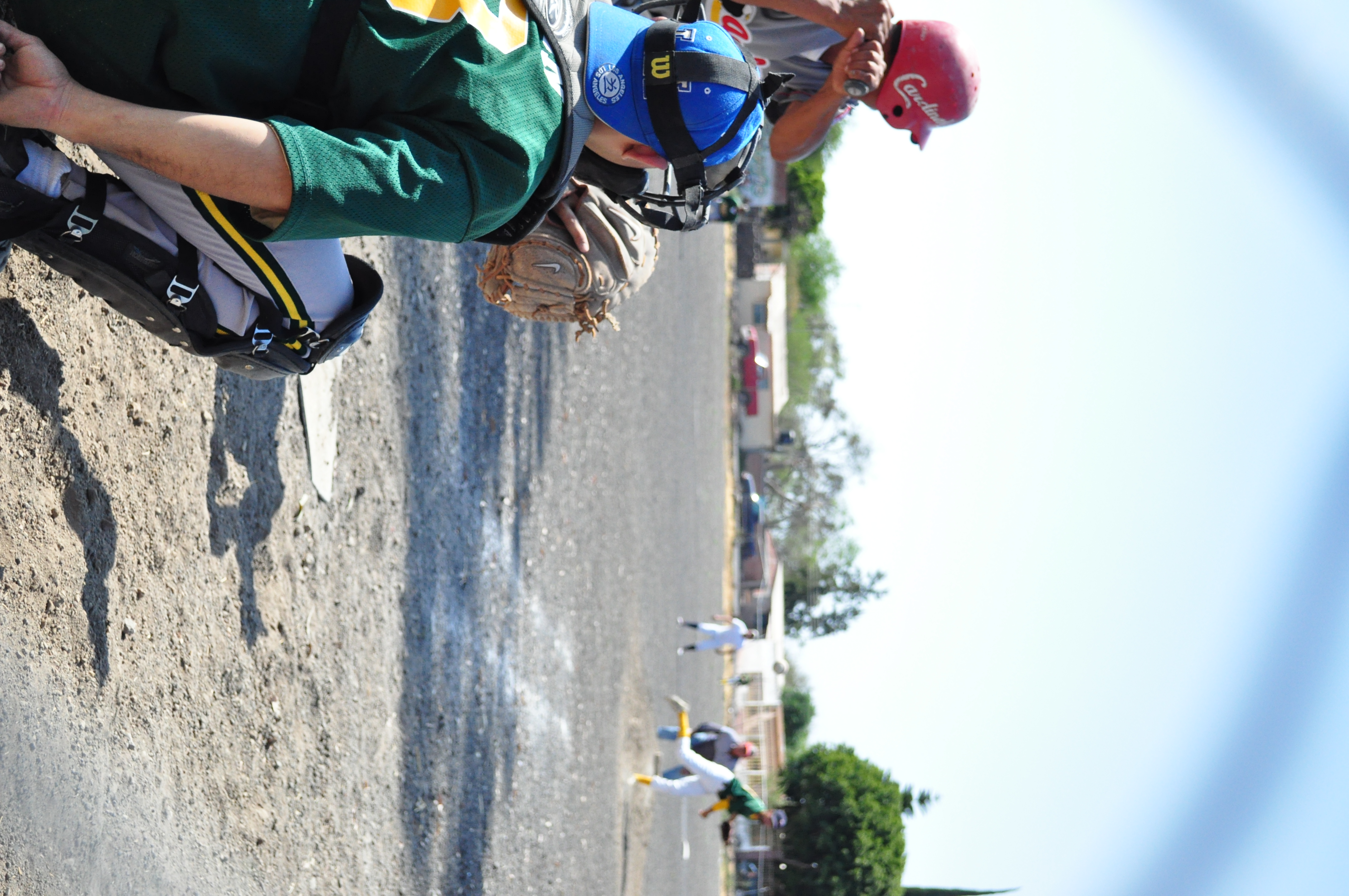
El primo de Cacher
Topographic Map of Santa Fe del Río, Mich., Mexico
Find elevation by address:

Places near Santa Fe del Río, Mich., Mexico:
El Cerro
Centro
61a
Numarán
Zináparo
Los Tabacos
Aratzipu
Centro
Corregidora 277
Corregidora
La Piedad De Cabadas
Capilla De Morales
San Vicente
Cerro Pelón
Tlazazalca
Barrio Del Tecuan
Portal Hidalgo 21, Barrio del Tecuan, Purépero de Echáiz, Mich., Mexico
Purépero
Purépero De Echáiz
Portal Aldama 3, Centro, Ejido del Centro, Mich., Mexico
Recent Searches:
- Elevation of Corso Fratelli Cairoli, 35, Macerata MC, Italy
- Elevation of Tallevast Rd, Sarasota, FL, USA
- Elevation of 4th St E, Sonoma, CA, USA
- Elevation of Black Hollow Rd, Pennsdale, PA, USA
- Elevation of Oakland Ave, Williamsport, PA, USA
- Elevation of Pedrógão Grande, Portugal
- Elevation of Klee Dr, Martinsburg, WV, USA
- Elevation of Via Roma, Pieranica CR, Italy
- Elevation of Tavkvetili Mountain, Georgia
- Elevation of Hartfords Bluff Cir, Mt Pleasant, SC, USA