Elevation of Sandy Landing Rd, Cedar Island, NC, USA
Location: United States > North Carolina > Carteret County > Cedar Island > Cedar Island >
Longitude: -76.317475
Latitude: 35.0177324
Elevation: 1m / 3feet
Barometric Pressure: 101KPa
Elevation Map:
Satellite Map:
Related Photos:
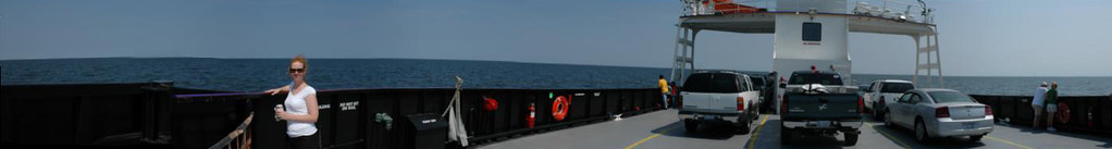
Ocracoke Ferry (via autostitch)
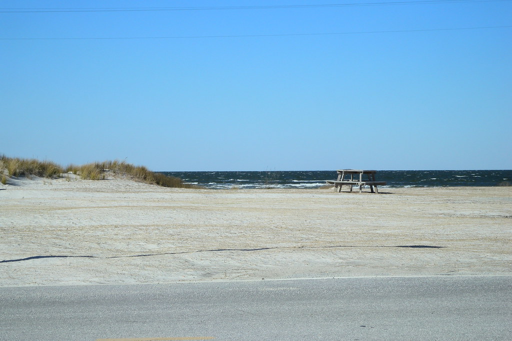
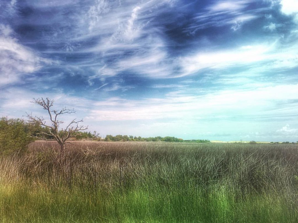
Cedar Island view
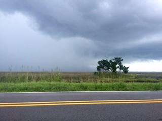
V16-044-Kimberly Brookshire-In the Storm
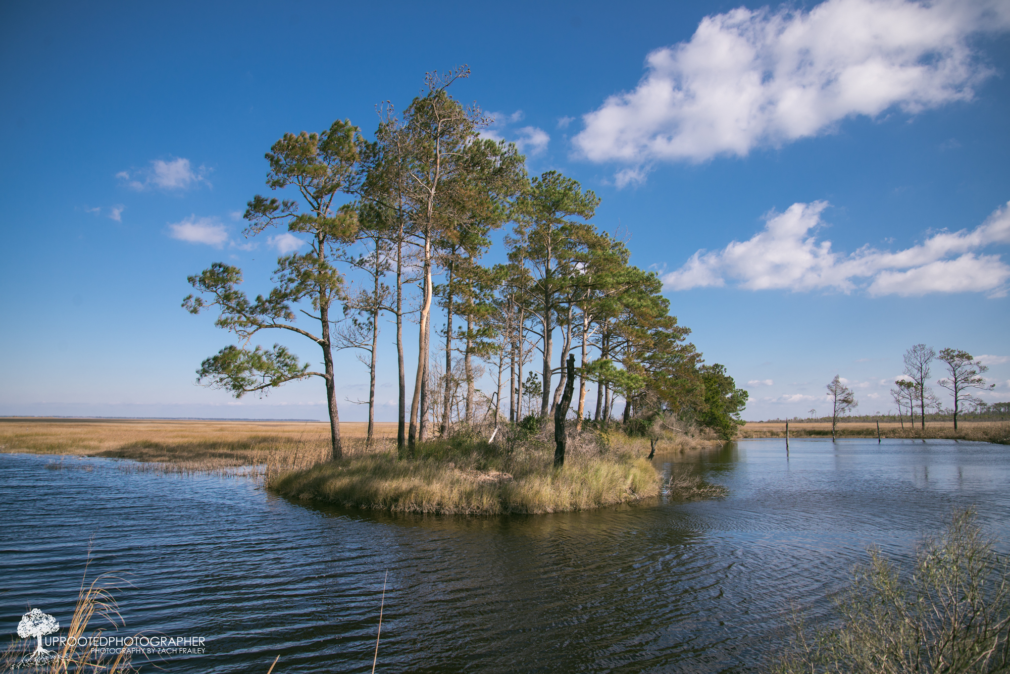
My Own Private Island
Cedar Island Vista #iphonephotography #northcarolinalandscape #northcarolina #mexturesapp #snapseed

20110502_usa_1089-Edit
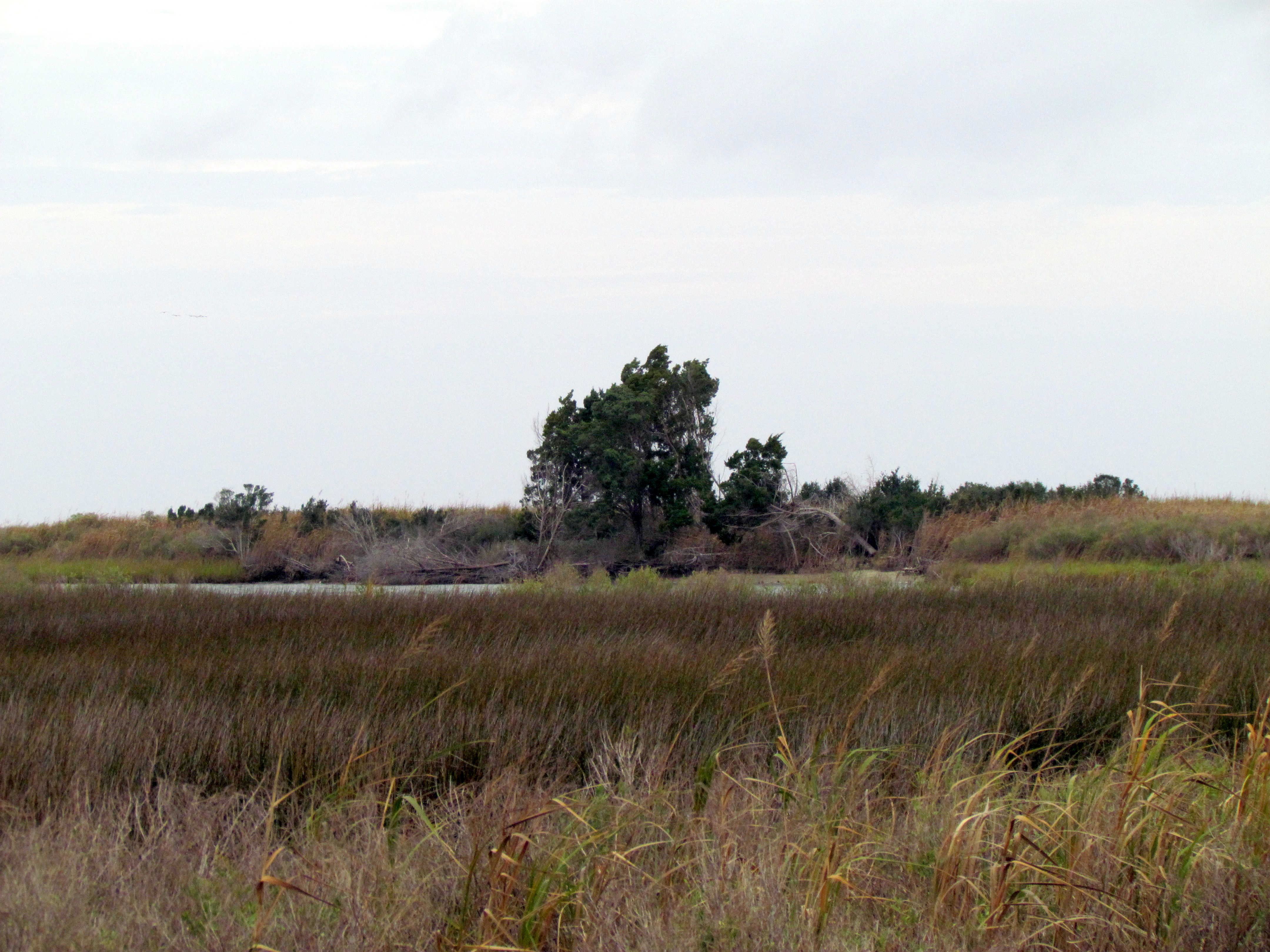
29 Cedar Island Refuge Down East NC 6325

Storm getting closer
Taking flight - Cedar Island Ferry Terminal
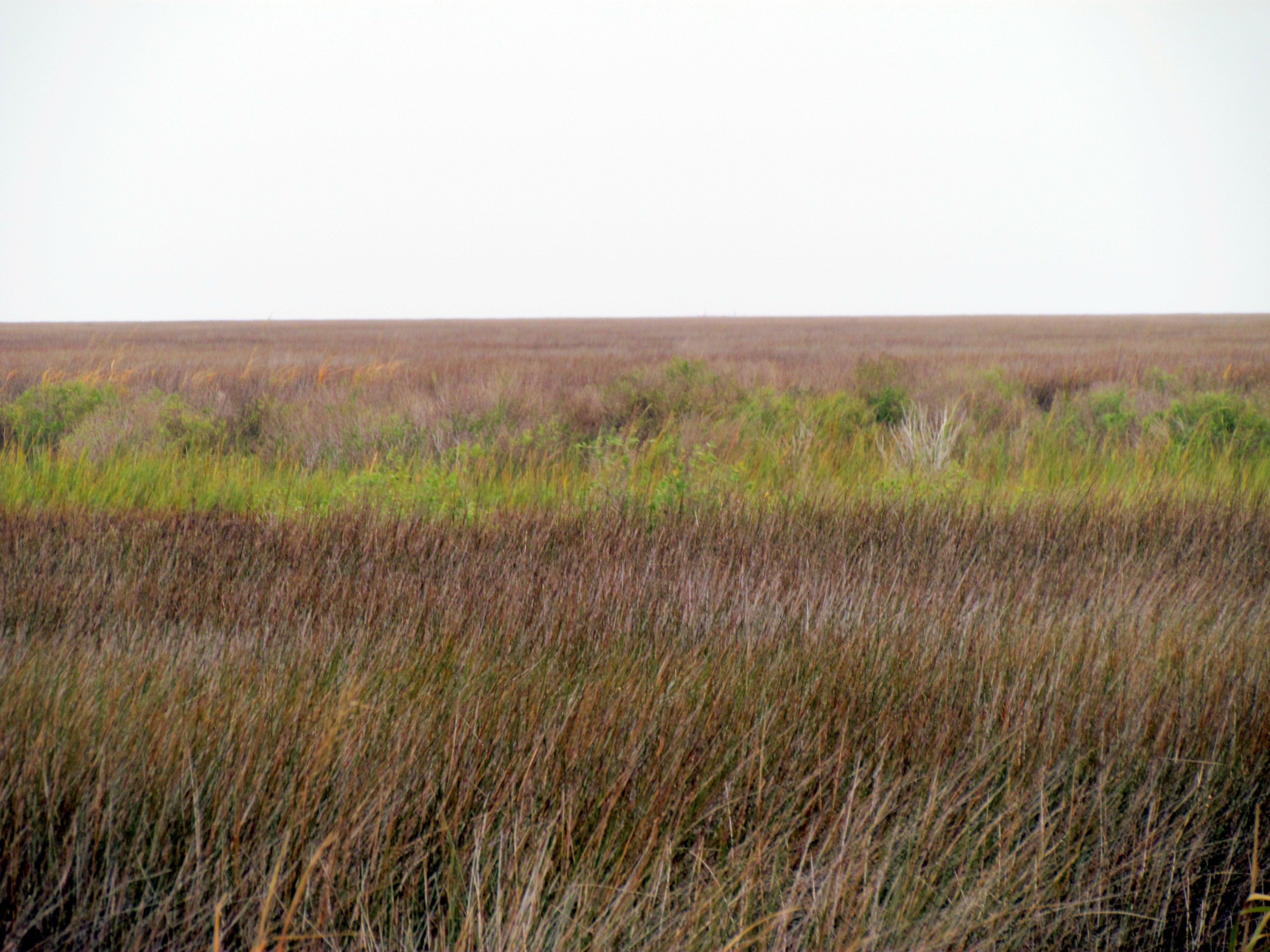
28 Cedar Island Refuge Down East NC 6324
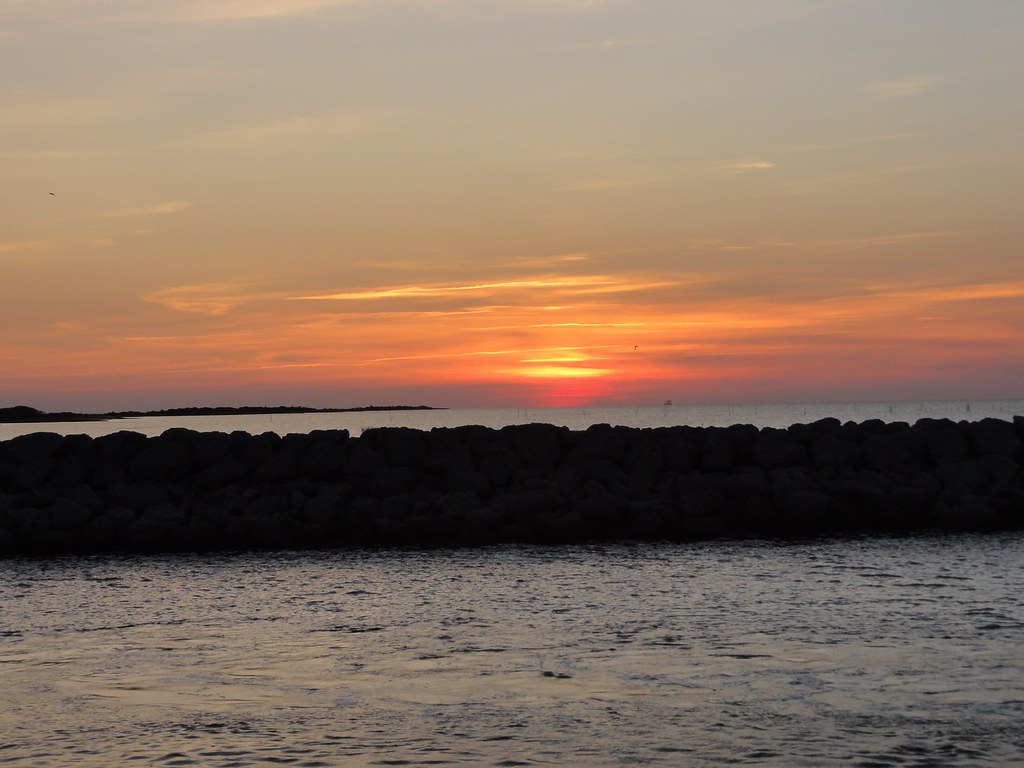
OBX Sunset
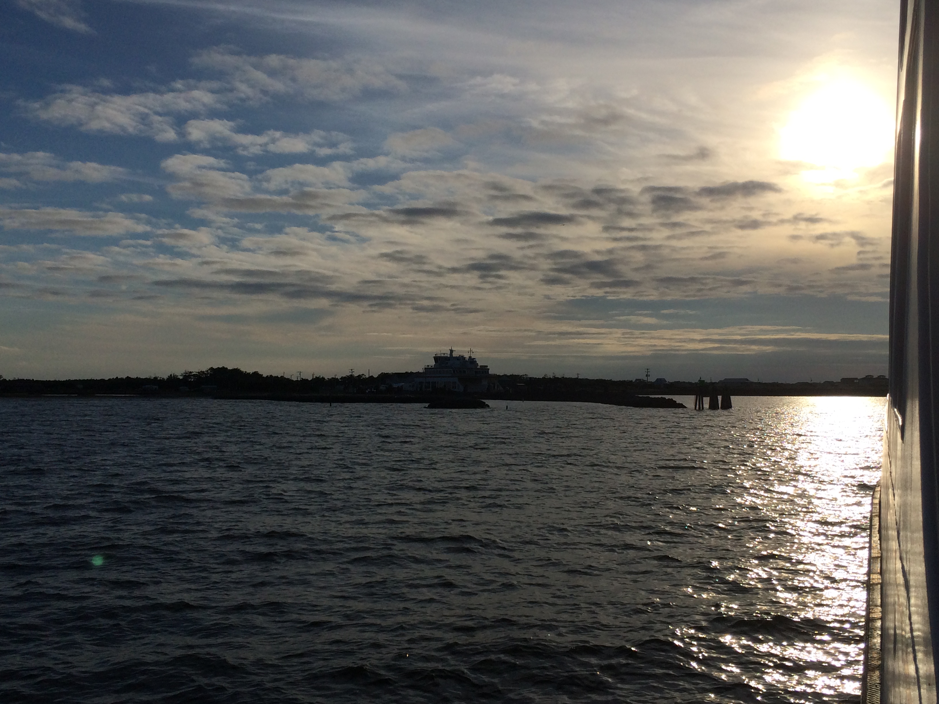
Crossing the Sound

Sunrise at Cedar Island
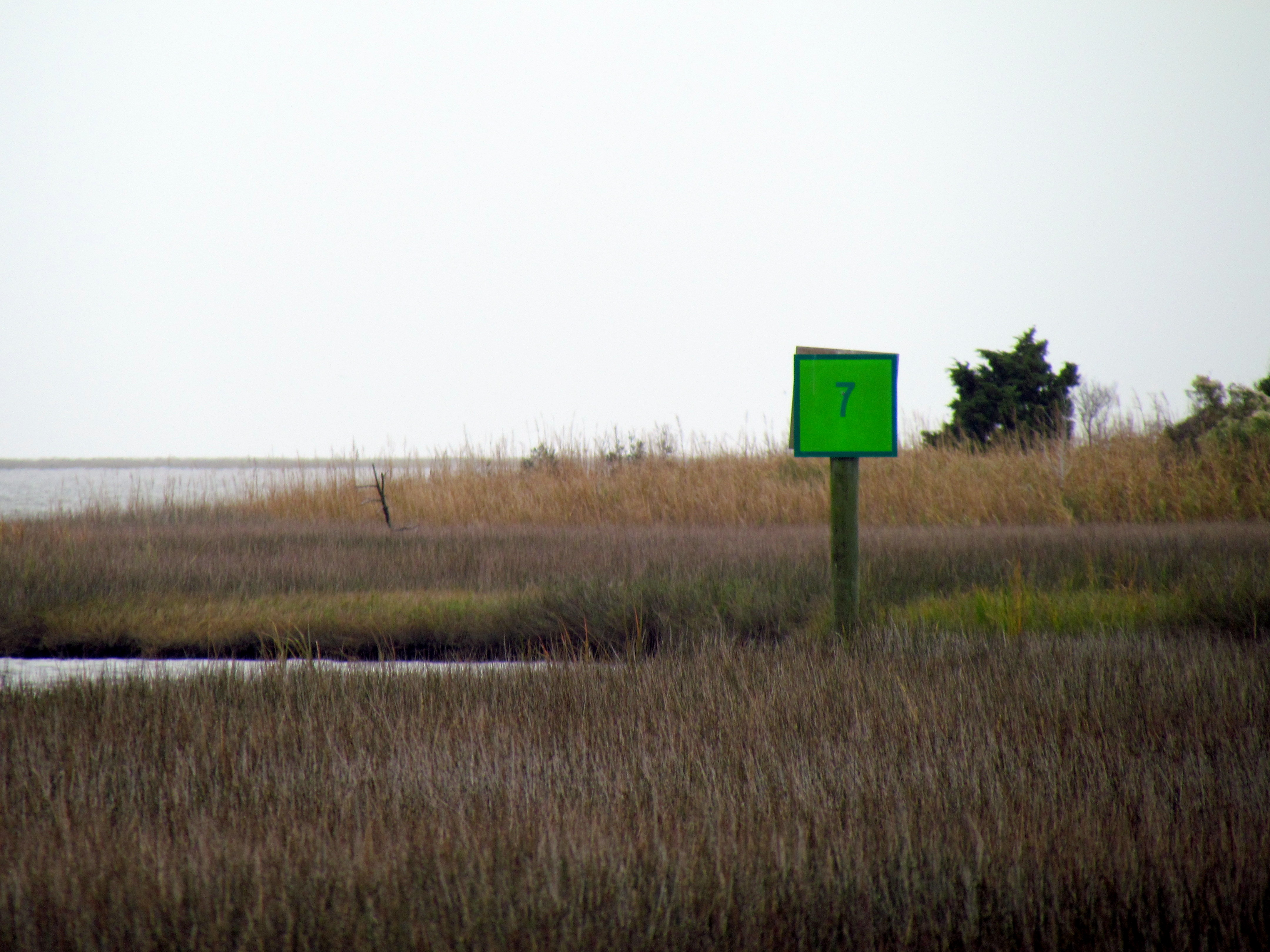
27 Cedar Island Refuge Down East NC 6323
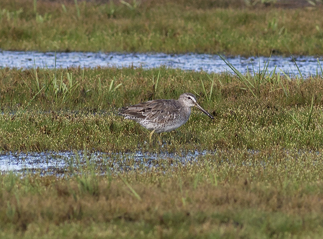
Short-billed Dowitcher 20160708001214
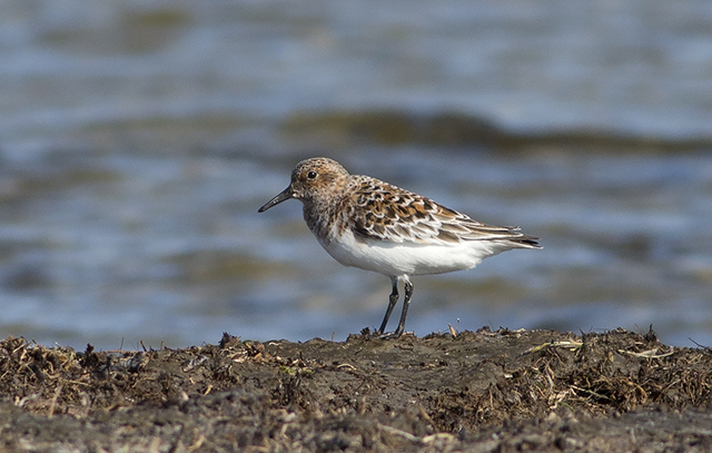
Sanderling 20160524001569 - Copy

It got windy.

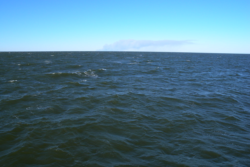
Crossing Pamlico Sound
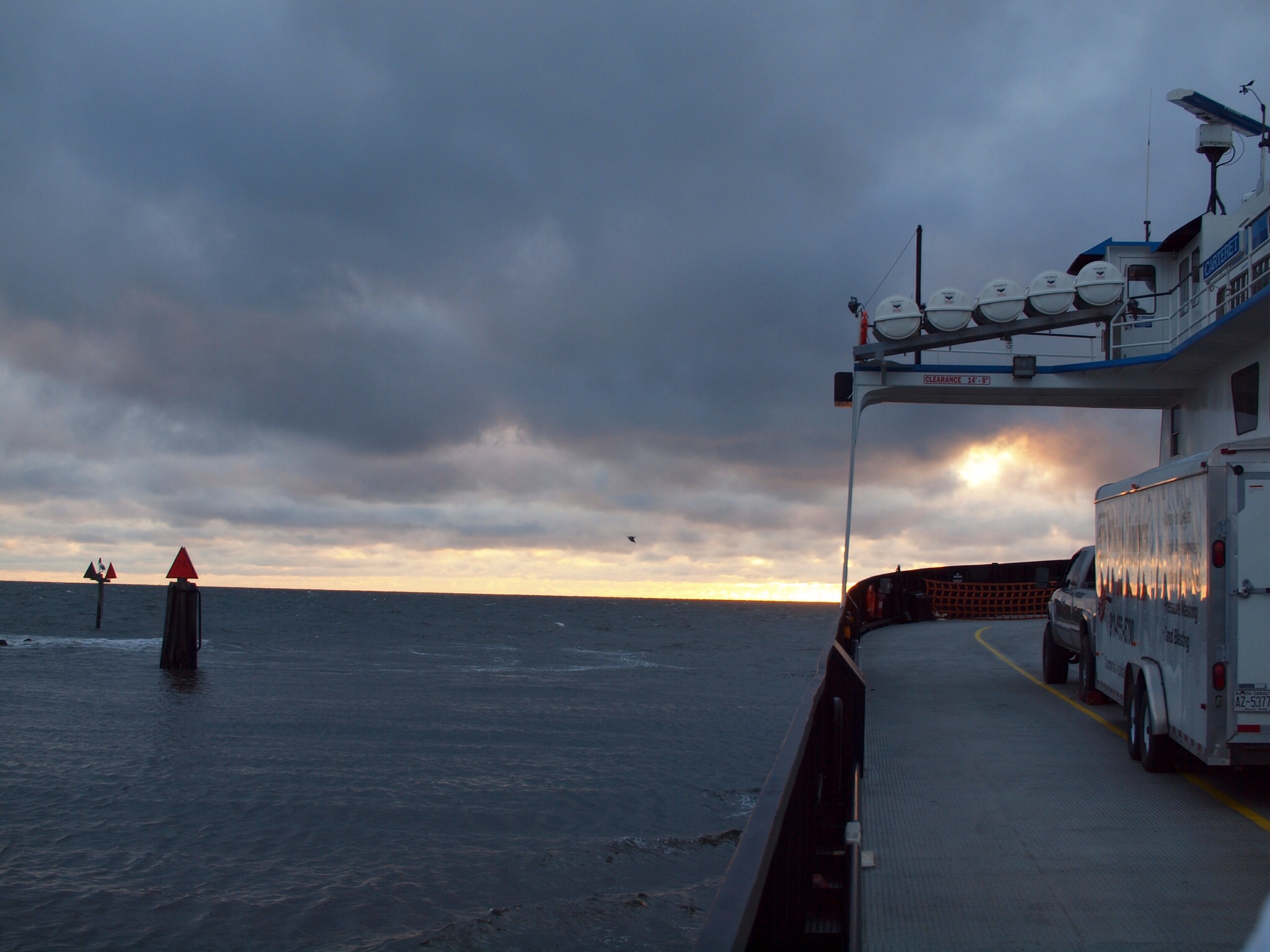
Ferry Crossing
Sunrise on the Water
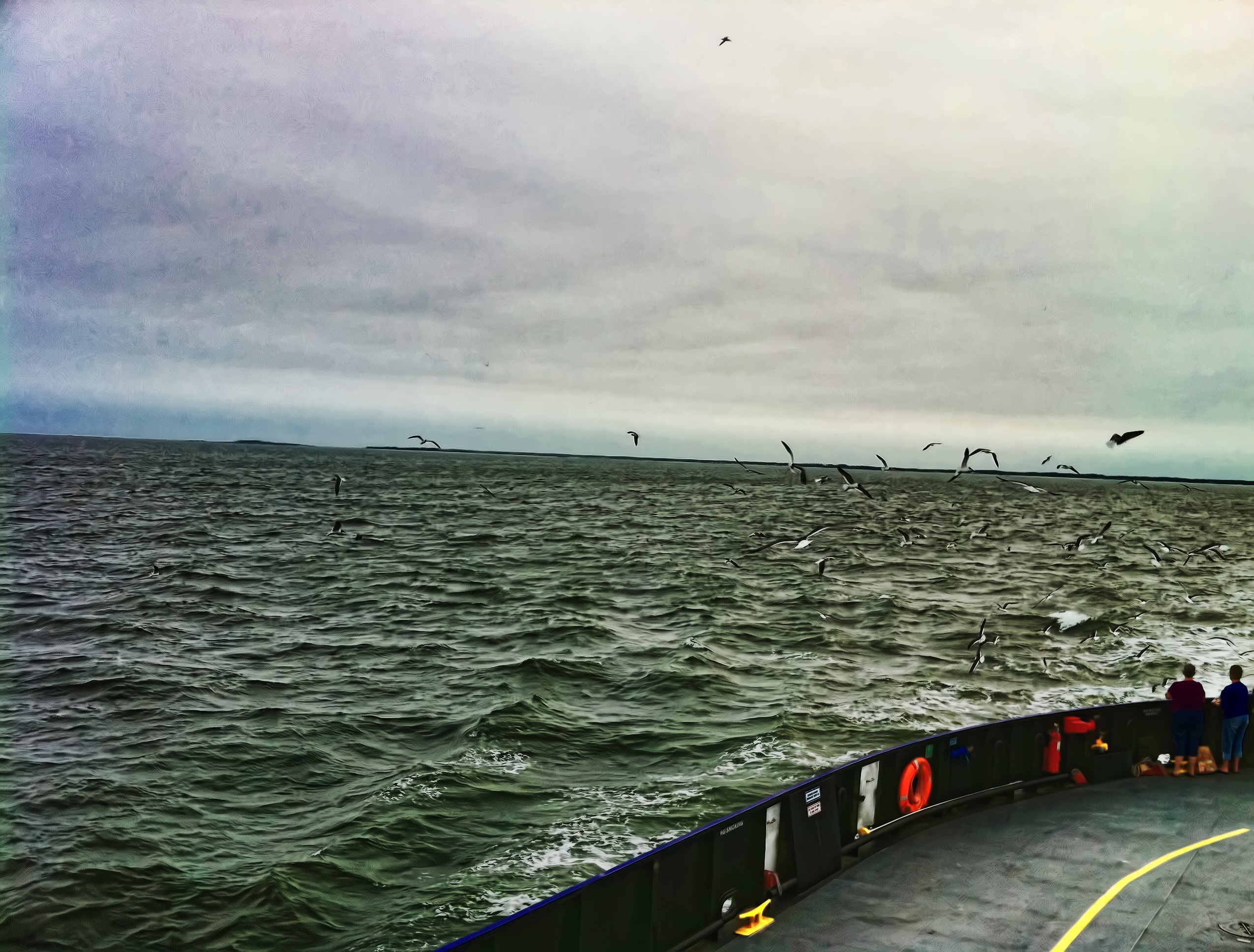
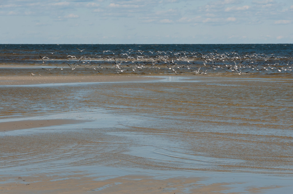
A Flock Of
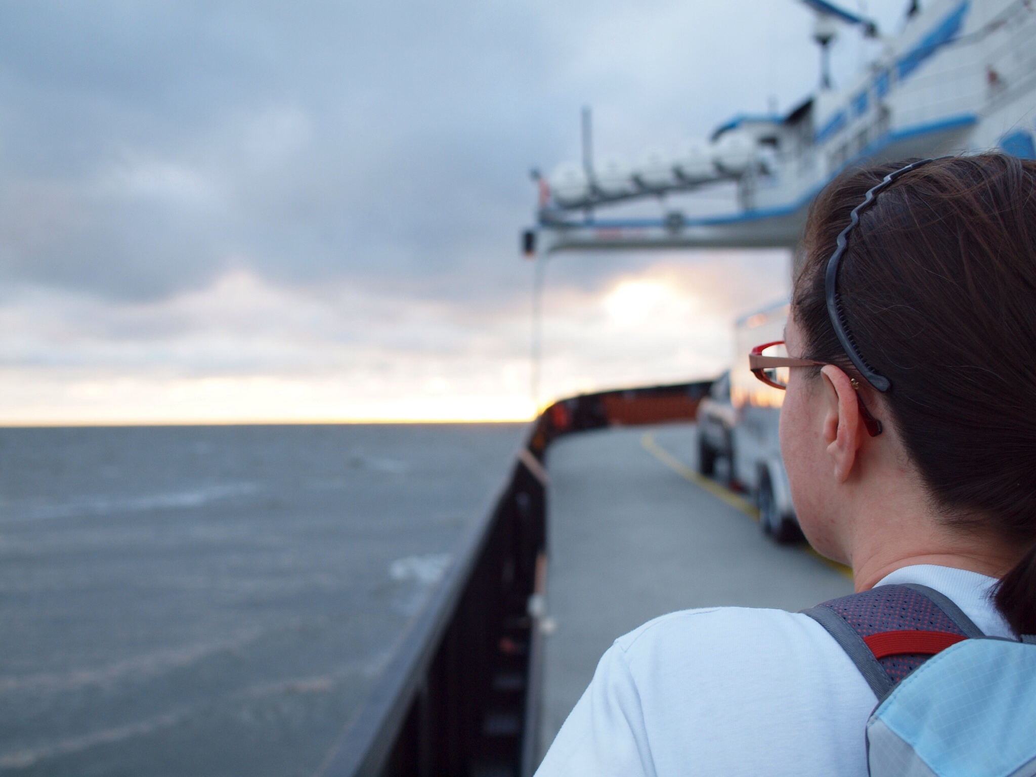
Looking Forward to Ocracoke
Topographic Map of Sandy Landing Rd, Cedar Island, NC, USA
Find elevation by address:

Places near Sandy Landing Rd, Cedar Island, NC, USA:
3577 Cedar Island Rd
3557 Cedar Island Rd
Sound View Dr, Cedar Island, NC, USA
Cedar Island
Cedar Island Rd, Cedar Island, NC, USA
3024 Cedar Island Rd
2918 Cedar Island Rd
2510 Cedar Island Rd
Neuse River
672 Preservation Rd
Harborside Dr, Oriental, NC, USA
175 Herring Pond Ct
Harborside Drive
514 Sandy Point Dr
524 Sandy Point Dr
46 Mercer Dr
710 Sandy Point Dr
2, NC, USA
3517 Whortonsville Rd
427 Silver Acres Rd
Recent Searches:
- Elevation of Corso Fratelli Cairoli, 35, Macerata MC, Italy
- Elevation of Tallevast Rd, Sarasota, FL, USA
- Elevation of 4th St E, Sonoma, CA, USA
- Elevation of Black Hollow Rd, Pennsdale, PA, USA
- Elevation of Oakland Ave, Williamsport, PA, USA
- Elevation of Pedrógão Grande, Portugal
- Elevation of Klee Dr, Martinsburg, WV, USA
- Elevation of Via Roma, Pieranica CR, Italy
- Elevation of Tavkvetili Mountain, Georgia
- Elevation of Hartfords Bluff Cir, Mt Pleasant, SC, USA