Elevation of San Vicente, VI Región, Chile
Location: Chile > O'higgins Region > Cachapoal > San Vicente >
Longitude: -71.091374
Latitude: -34.434943
Elevation: 208m / 682feet
Barometric Pressure: 99KPa
Elevation Map:
Satellite Map:
Related Photos:
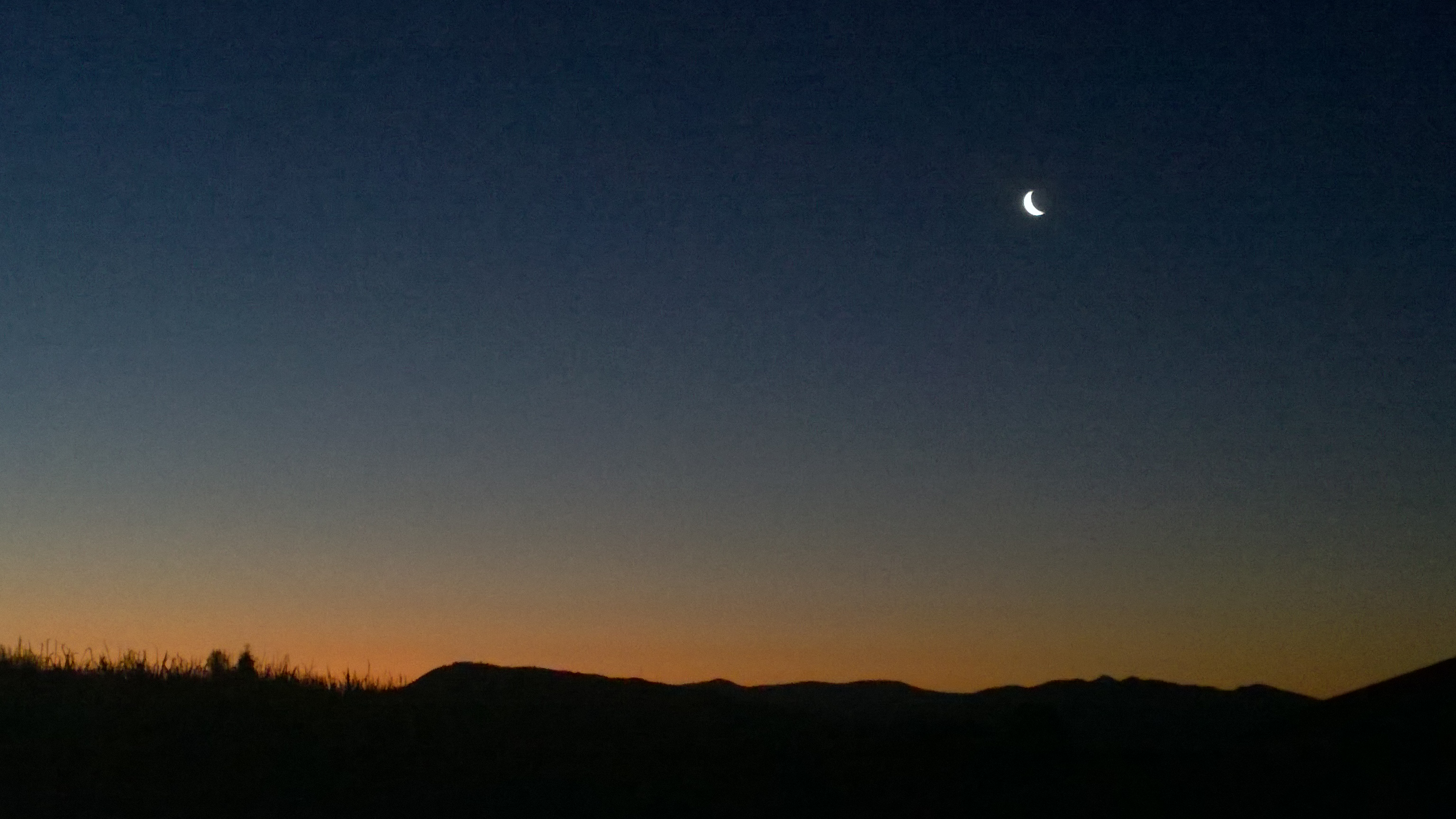
Good Night

El camino de mi Abuelo
Chao San Vicente #chile #cielo #clouds #chile_360 #chilegram #chileestuyo #photo #picoftheday #followme #followback #tree #teamfollowback #ipic #iphoto #instaphoto #iphoneonly
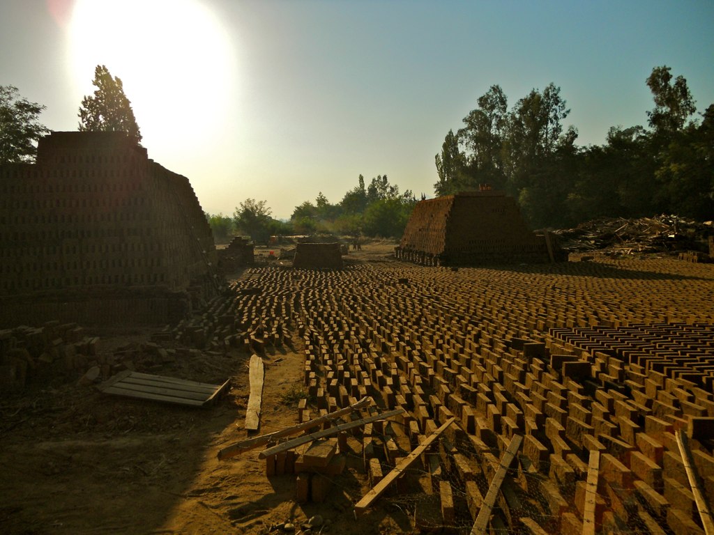
Sol y tierra

Patitas cochinas
Río en invierno

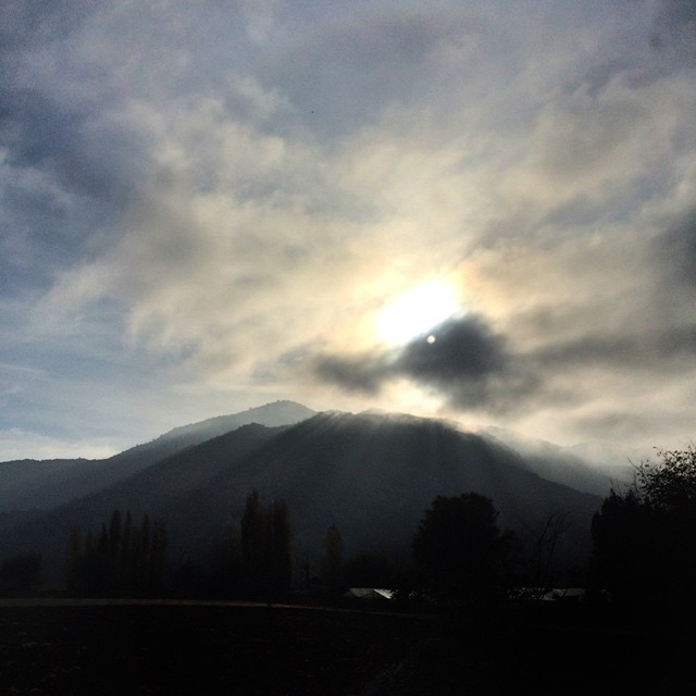
Manto de nubes

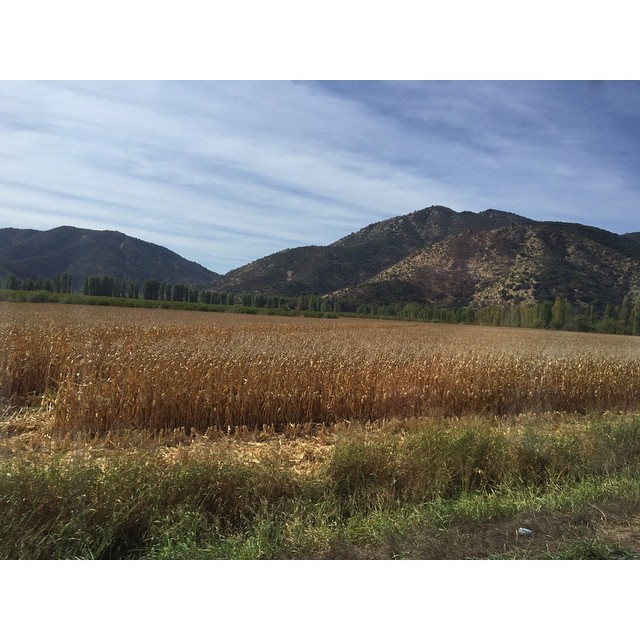
Modelos o Paisajes
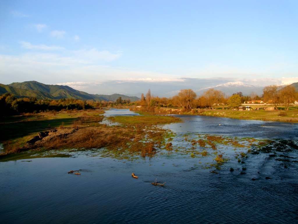
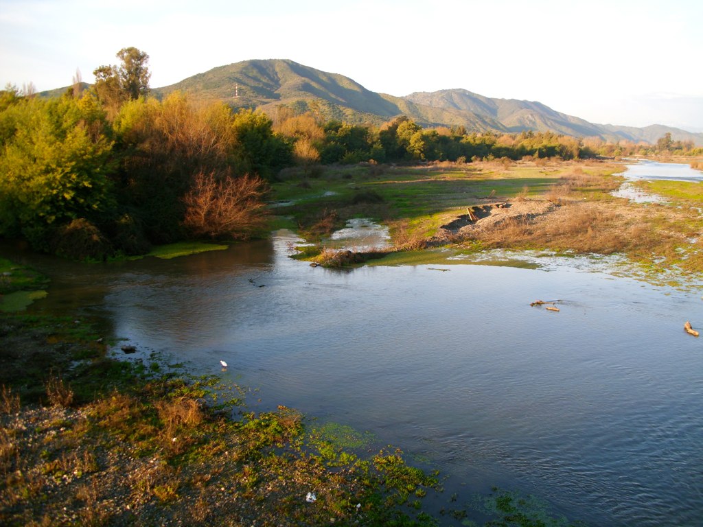
Río

Sesión al campo

Pantano del tranque de Millahue
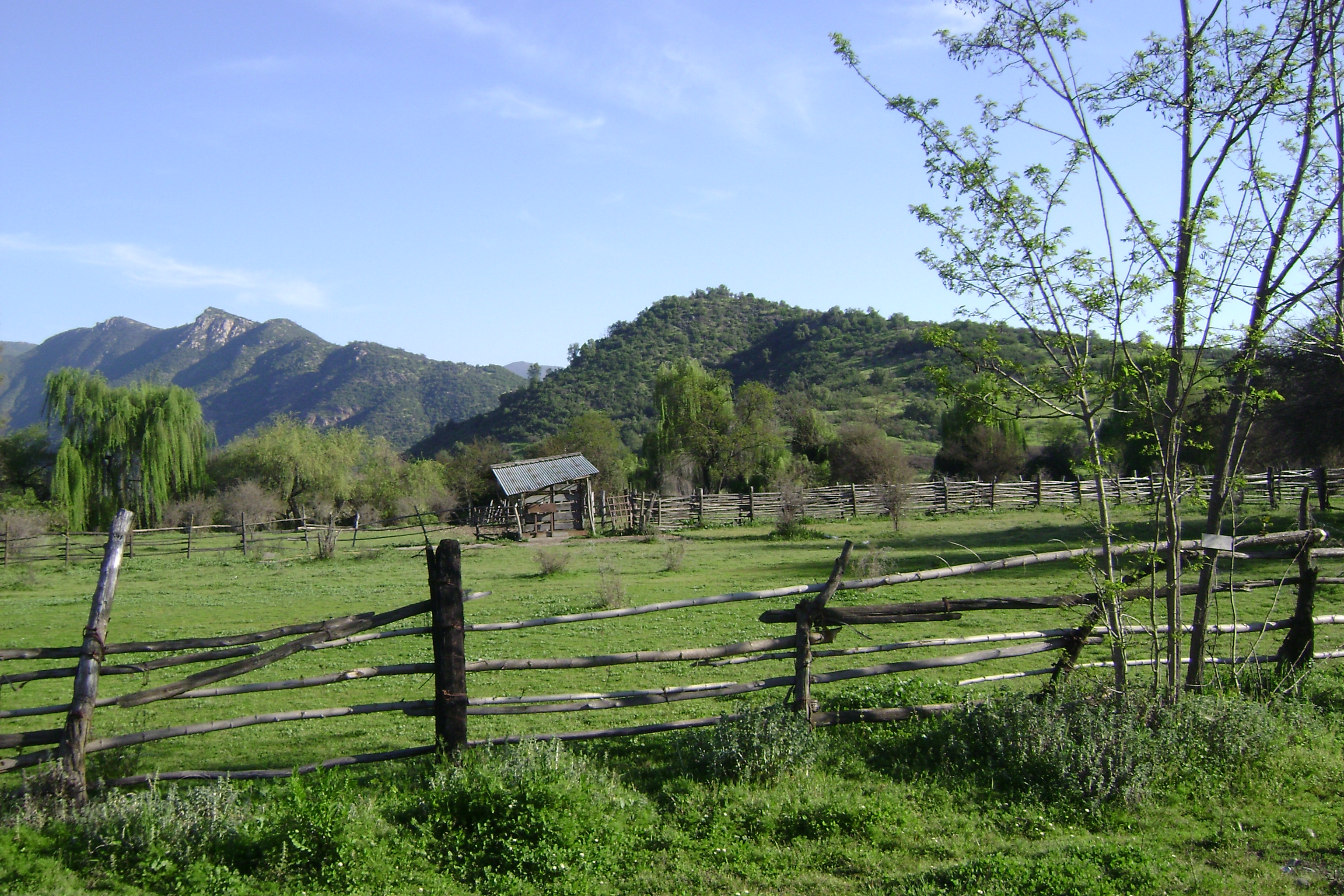
Los Corrales de ganado

Flores silvestres

Los maitened

light-escape
"Vengo de localidades curtidas en la piel morena de obreros y temporeras rehusadas a enmudecer. Trabajadores frutícolas, mineros y pescadores que tejen cada atardecer." ????????⛅️
Topographic Map of San Vicente, VI Región, Chile
Find elevation by address:

Places in San Vicente, VI Región, Chile:
Places near San Vicente, VI Región, Chile:
El Cristo-Pencahue 12, San Vicente, VI Región, Chile
San Vicente
O'higgins Region
Gabriela Mistral, Rengo, VI Región, Chile
Pje Cinco, Rancagua, VI Región, Chile
Rancagua
Rancagua
El Yeso
H-, Machalí, VI Región, Chile
Machalí
Salvador Gutierrez
Graneros
Cachapoal
H-, Codegua, VI Región, Chile
Curicó Province
H-15-G, Mostazal, VI Región, Chile
Maipo Province
Molina
Recent Searches:
- Elevation of Corso Fratelli Cairoli, 35, Macerata MC, Italy
- Elevation of Tallevast Rd, Sarasota, FL, USA
- Elevation of 4th St E, Sonoma, CA, USA
- Elevation of Black Hollow Rd, Pennsdale, PA, USA
- Elevation of Oakland Ave, Williamsport, PA, USA
- Elevation of Pedrógão Grande, Portugal
- Elevation of Klee Dr, Martinsburg, WV, USA
- Elevation of Via Roma, Pieranica CR, Italy
- Elevation of Tavkvetili Mountain, Georgia
- Elevation of Hartfords Bluff Cir, Mt Pleasant, SC, USA