Elevation of San Miguel de Urcuqui, Ecuador
Location: Ecuador > Imbabura >
Longitude: -78.338706
Latitude: 0.6261744
Elevation: 2592m / 8504feet
Barometric Pressure: 74KPa
Elevation Map:
Satellite Map:
Related Photos:

Views from the Climb

Imbabura Volcano, Ecuador
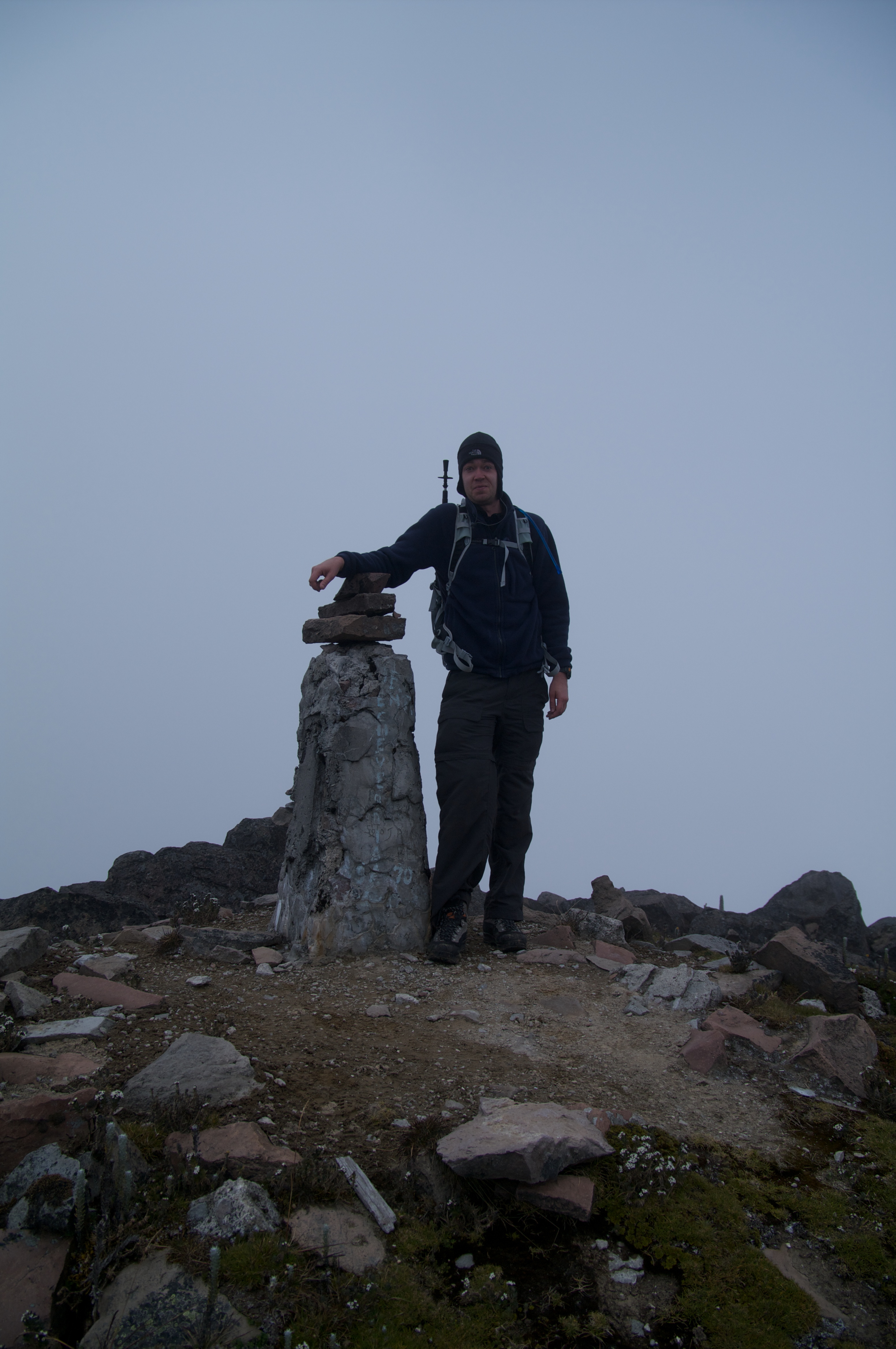
Yanaurco Summit

Looking Down

Imbabura Volcano, Ecuador

Imbabura Volcano, Ecuador

Imbabura Volcano, Ecuador

Imbabura Volcano, Ecuador

Plants at the Summit

Plants at the Summit

Plants at the Summit
Topographic Map of San Miguel de Urcuqui, Ecuador
Find elevation by address:

Places in San Miguel de Urcuqui, Ecuador:
Places near San Miguel de Urcuqui, Ecuador:
Sincholagua
Hacienda San Francisco
Tumbabiro
Imbabura
Unnamed Road
Atuntaqui
Cotacachi
Ibarra
Hacienda Pinsaqui
Ambuqui
San Jose De Quichinche
El Pailon
7.5
Otavalo
Hacienda Carpuela
San Jose De Quichinche
Tambo Inti Hosteria
Garcia Moreno
Imbabura Volcano
Otavalo
Recent Searches:
- Elevation of Corso Fratelli Cairoli, 35, Macerata MC, Italy
- Elevation of Tallevast Rd, Sarasota, FL, USA
- Elevation of 4th St E, Sonoma, CA, USA
- Elevation of Black Hollow Rd, Pennsdale, PA, USA
- Elevation of Oakland Ave, Williamsport, PA, USA
- Elevation of Pedrógão Grande, Portugal
- Elevation of Klee Dr, Martinsburg, WV, USA
- Elevation of Via Roma, Pieranica CR, Italy
- Elevation of Tavkvetili Mountain, Georgia
- Elevation of Hartfords Bluff Cir, Mt Pleasant, SC, USA