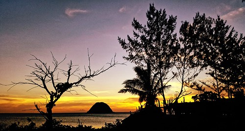
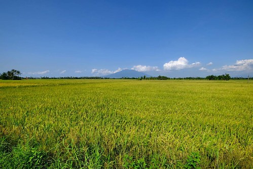
Elevation of San Gabriel, Pamplona, Camarines Sur, Philippines
Location: Philippines > Bicol > Camarines Sur > Pamplona >
Longitude: 123.092967
Latitude: 13.5656588
Elevation: 28m / 92feet
Barometric Pressure: 101KPa
Related Photos:
Topographic Map of San Gabriel, Pamplona, Camarines Sur, Philippines
Find elevation by address:

Places near San Gabriel, Pamplona, Camarines Sur, Philippines:
Pamplona
St. Anthony Of Padua Parish
Camaligan Fish Port
Bagadion
Dugcal
Milaor
Timbang Elementary School
Magadap Elementary School
Camaligan Municipal Police Station
Camaligan
San Roque
Malbogon
Rongos
Jaeum Silver Shop Naga City Peoples' Mall
Bayawas Street
J. Hernandez Avenue
Meta Cyberlounge
Dolan Building (adnu Engineering Building)
San Vicente
Adnu
Recent Searches:
- Elevation of Corso Fratelli Cairoli, 35, Macerata MC, Italy
- Elevation of Tallevast Rd, Sarasota, FL, USA
- Elevation of 4th St E, Sonoma, CA, USA
- Elevation of Black Hollow Rd, Pennsdale, PA, USA
- Elevation of Oakland Ave, Williamsport, PA, USA
- Elevation of Pedrógão Grande, Portugal
- Elevation of Klee Dr, Martinsburg, WV, USA
- Elevation of Via Roma, Pieranica CR, Italy
- Elevation of Tavkvetili Mountain, Georgia
- Elevation of Hartfords Bluff Cir, Mt Pleasant, SC, USA


